Creag an Fhroich – With the skies brightening after a wet and windy morning returned to Skerricha this time along the minor south access road to Lochan a’ Mhullaich where there was a parking for a couple of vehicles. (NC23845021)
It was then a short climb through grass, heather, bog myrtle and across slab rock onto the summit of the Tump, Creag an Fhroich, marked by an outcrop.
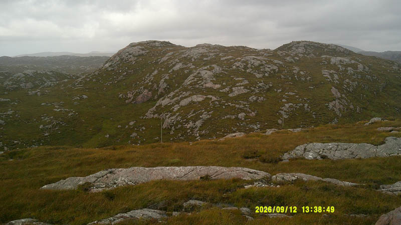
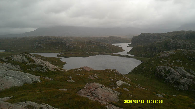
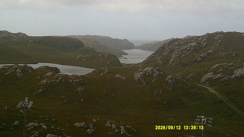
Returned by the ascent route.
- Time taken – 15 minutes.
- Distance – 420 metres.
- Ascent – 35 metres.
Cnoc Mhuilinn and Cnoc Carn a’ Bhodaich – Left the car just beyond the turning area at the end of the minor Ardmore Road, accessed off the A838 Laxford Bridge to Rhiconich Road, and walked west then north-west along the path towards Ardmore. Many years ago walked to Ardmore using this path in connection with employment, the alternative was by boat which is still the case.
At the first highpoint on the path left it and climbed south-west through grass and heather, across a boggy area then onto the summit of Cnoc Mhuilinn. The highest point of this Tump was marked by a cairn.
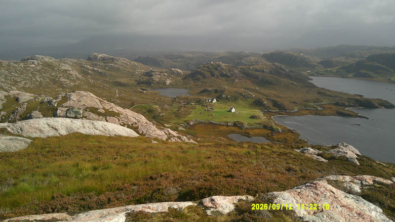
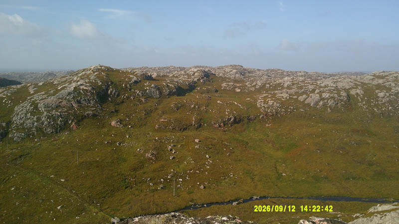
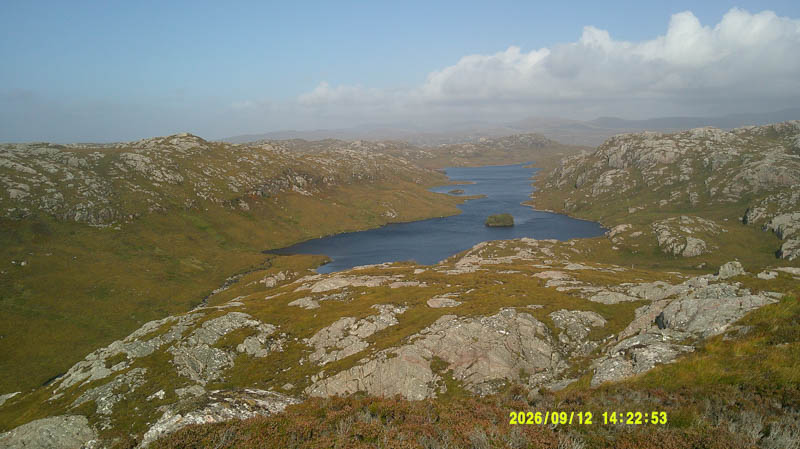
Briefly descended north-east to a wide break in some crags before turning north-west to reach the path at the bridge over the Alltan Mor. Continued west along this path gradually gaining height later leaving it and climbing north onto a knoll. From this knoll it appeared as high as the summit of Cnoc Carn a’ Bhodaich which was still over 500 metres away.
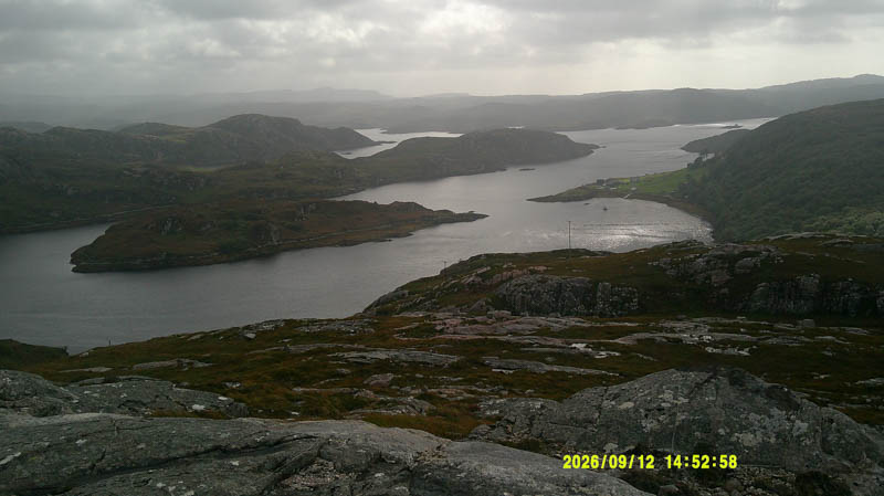
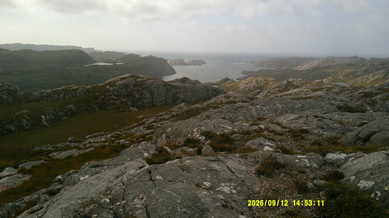
Walked north-east, lost a few metres of height, went round or across some slab rock before climbing onto the summit of the Tump, Cnoc Carn a’ Bhodaich, marked by a vegetated outcrop.
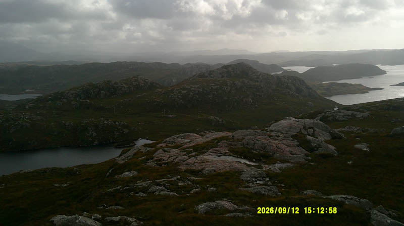
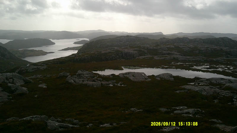
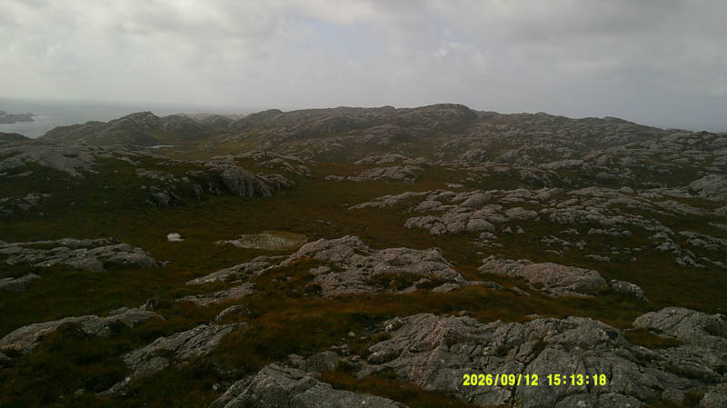
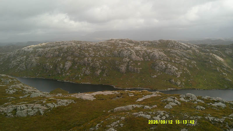
It was a fairly steep descent south through vegetation to the south-west end of Loch Crocach. The Alltan Mor was easily crossed then it was a short walk to rejoin the Ardmore path which was followed back to the car.
- Time taken – 2 hours 15 minutes.
- Distance – 3.25 kilometres.
- Ascent – 180 metres.
Portlevorchy Hill – On arriving at the car, as mentioned above, walked south-west down the vehicle track towards Portlevorchy.
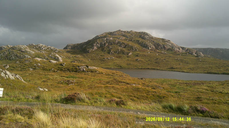
Prior to reaching the two houses there left the track, crossed some heather and grass then an old stock fence topped with barbed wire.
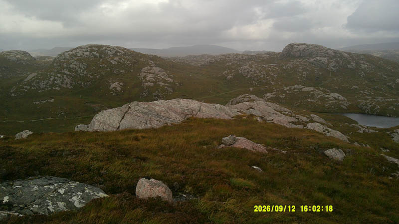
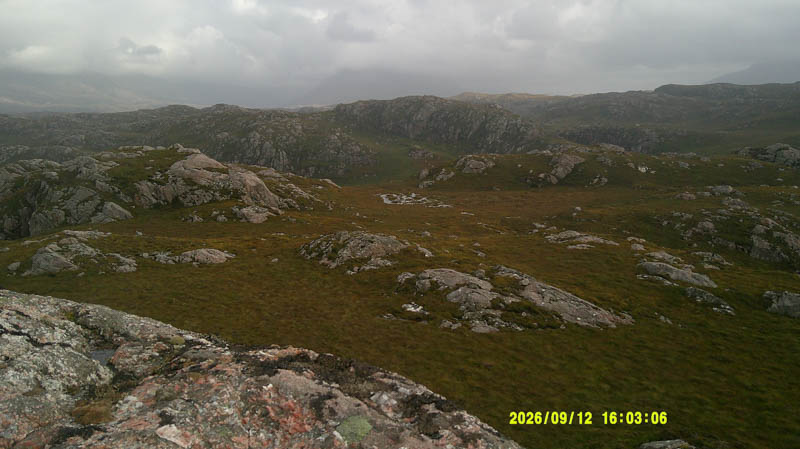
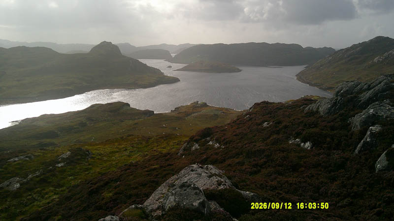
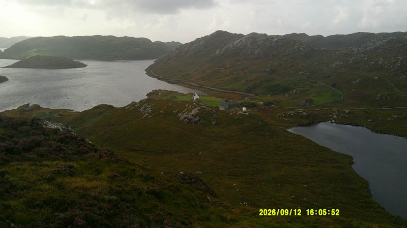
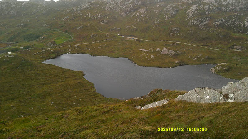
It was then through some boggy and wet ground to reach the foot of Portlevorchy Hill then up a grassy/heathery rake, round some outcrops, to the outcrop marking the summit of this Tump.
The return was by the upward route.
- Time taken – 35 minutes.
- Distance – 1.25 kilometres.
- Ascent – 80 metres.