Cnoc Tigh Adhamh East Top – Back for a short stay in Scourie so headed to the peninsula north of the village where there were still several little hills to climb. Parked at the side of the minor single-track Foindle to Fanagmore Road (NC17954921) and walked briefly west along this road before entering a short section of long rough vegetation before reaching a stock fence. It was followed south-west leaving it at the point where it turned north-west.
Climbed south-south-west through pathless vegetation, with a few undulations, onto the summit of the Tump, Cnoc Tigh Adhamh East Top, which was marked by an outcrop. The final few metres were difficult due to the strength of the wind having been sheltered earlier on.
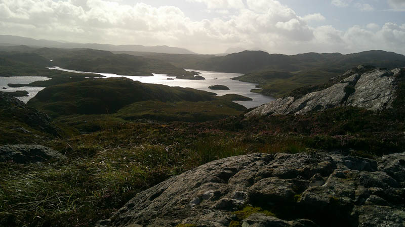
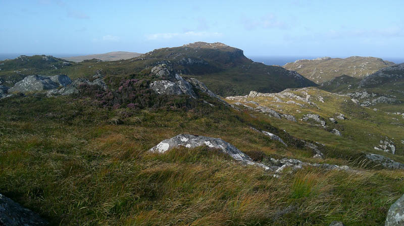
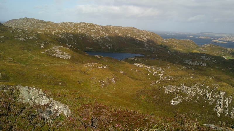
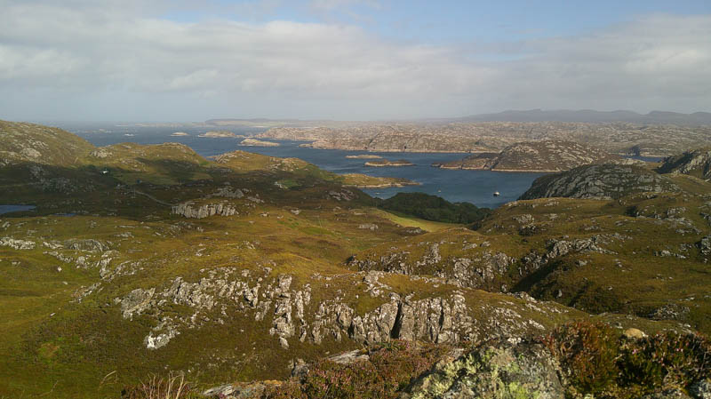
The return was by the upward route.
- Time taken – 55 minutes.
- Distance – 1.25 kilometres.
- Ascent – 75 metres.
An Socach South-East Top and An Socach – Moved the car a short distance east along the Foindle to Fanagmore road to ground beside a passing place west of Loch na h-Airigh Ghlaise. (NC18494898)
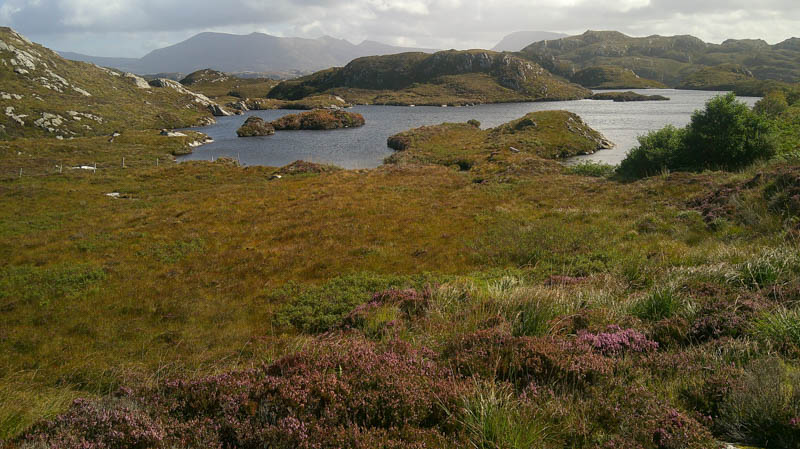
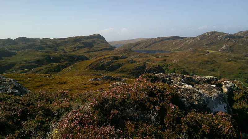
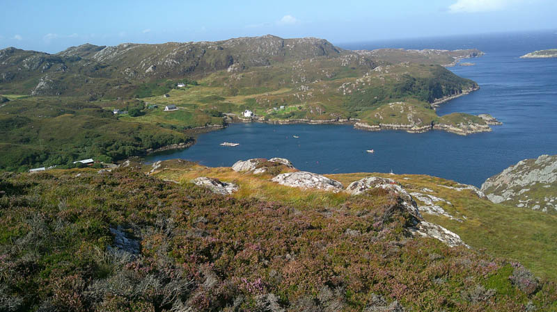
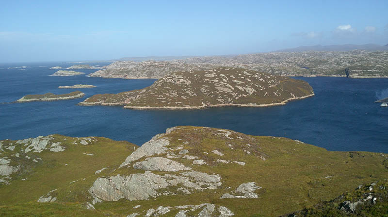
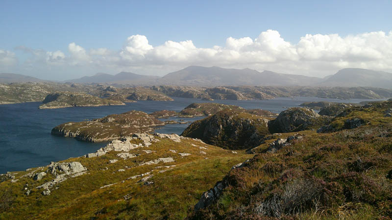
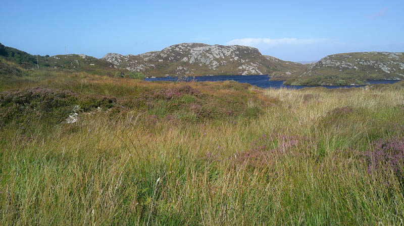
Walked a short distance north across some damp ground to a small gate in a stock fence then made a direct ascent of An Socach East Top, avoiding the outcrops. In a strong gusty wind reached the summit of this Tump, marked by an outcrop.
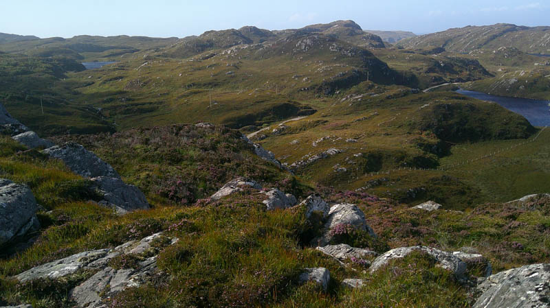
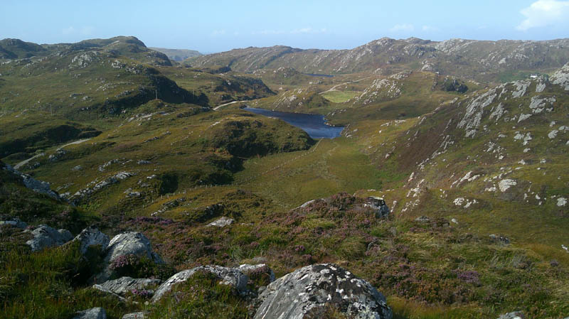
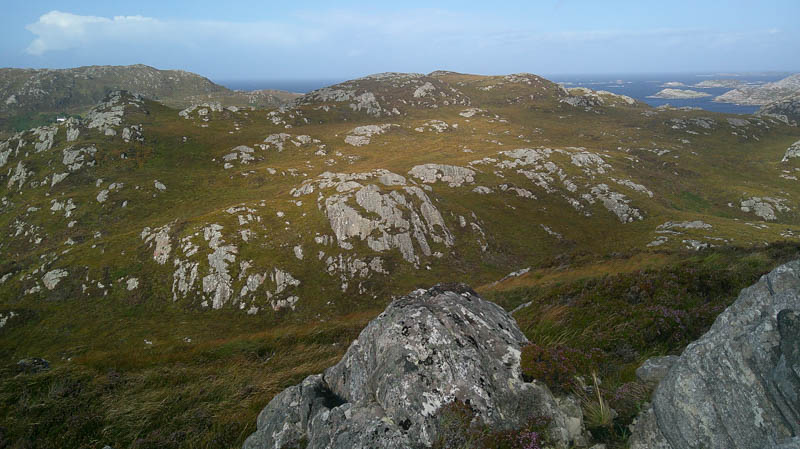
Descended initially east then north to avoid the rock face before continuing the descent north-west prior to climbing through more of the same pathless vegetation onto the windy summit of the Tump, An Socach, which was marked by a cairn.
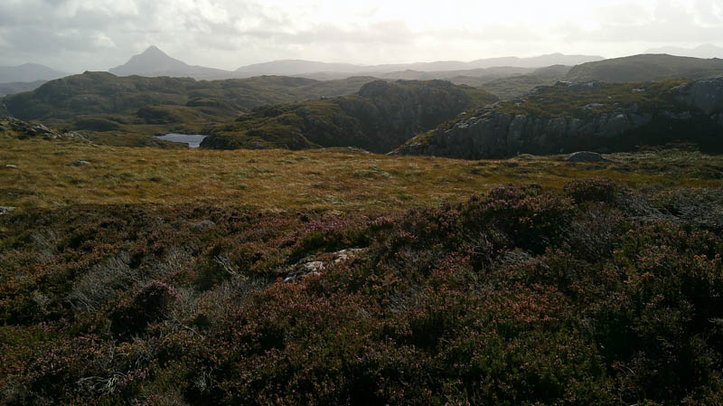
The return to the gate and subsequently the car was in a south-south-easterly direction through similar underfoot conditions.
- Time taken – 50 minutes.
- Distance – 1.25 kilometres.
- Ascent – 75 metres.
Cnoc nan Rathag – Drove several metres further east on the Foindle to Fanagmore road parking at an extended passing place. (NC18734863) Road walk west for a few metres then across rough vegetation to reach a tied down gate in a deer fence. (NC18624862)
Once over it walked west then south-west across mainly wet grassy vegetation before climbing steadily south through the rough vegetation, avoiding the outcrops, onto the summit of the rather windy Tump, Cnoc nan Rathag, which was marked by an outcrop.
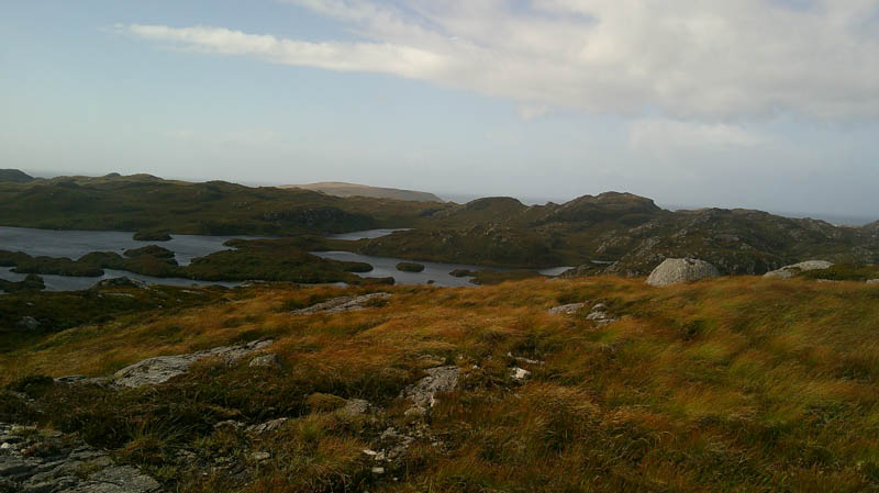
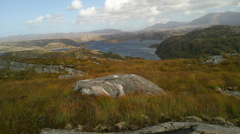
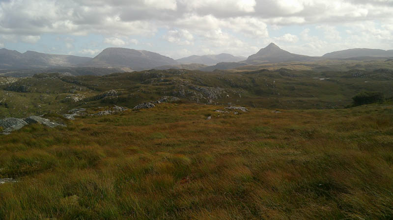
The descent north-west soon reached the holes created in connection with tree planting mentioned on the hill bagging web site. It made for awkward progress towards Cnoc Bagh a’ Choit. With a fair bit of descent ahead and more holes on its ascent decided to abandon the plan and leave this Tump for another day with a different approach route. Headed north before returning to the start by the ascent route.
- Time taken – 50 minutes.
- Distance – 1 kilometre.
- Ascent – 65 metres.