Headed for the peninsula in the far North-West of Scotland located between Lochs Laxford and Inchard to climb some of the unfrequented wee hills in this area which consisted of numerous lochs/lochans and is mostly uninhabited. The terrain was very mixed with crags, rock bands and outcrops and the vegetation included grass, heather, bracken and bog myrtle adding to the boggy areas. Afterwards climbed a couple of hills slightly further north.
An Cada – Left the car in the parking area on the Skerricha Road prior to its descent to Loch a’ Chadh-Fi, accessed from the A838 Laxford Bridge to Rhiconich Road. Surprised to discover a path to the east of a stock fence that led through the long vegetation and crags to reach the tall boulder marking the summit of the Tump, An Cada.
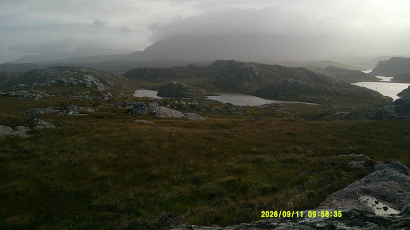
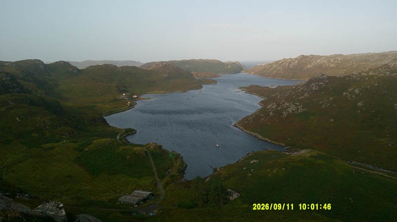
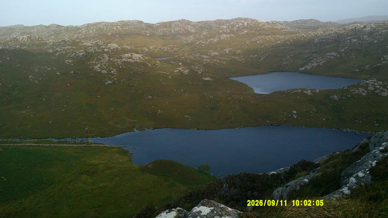
Retraced the route to the car park.
- Time taken – 25 minutes.
- Distance – 400 metres.
- Ascent – 35 metres.
Cnoc an Loin Bhain – Returned east along the Skerricha Road parking opposite some old sheep pens. (NC24255048) Crossed the road and climbed through long vegetation, shorter higher up and rockier, onto the Tump, Cnoc an Loin Bhain. Visited both tops as couldn’t tell which was the highest.
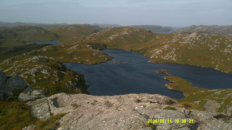
The return was by the ascent route.
- Time taken – 35 minutes.
- Distance – 880 metres.
- Ascent – 55 metres.
Ceathramh Garbh, Ceathramh Garbh West Top, Cnoc an Daimh and Cnoc an Daimh West Top – Drove west along the minor single-track Ardmore Road accessed off the A838 Laxford Bridge to Rhiconich Road, as far as the radio mast at NC 23515141. Parked at entrance to an old small quarry, space for a single vehicle, opposite the mast.
From there climbed north through the vegetation and onto the summit of Ceathramh Garbh. The highest point of this Tump was marked by a boulder.
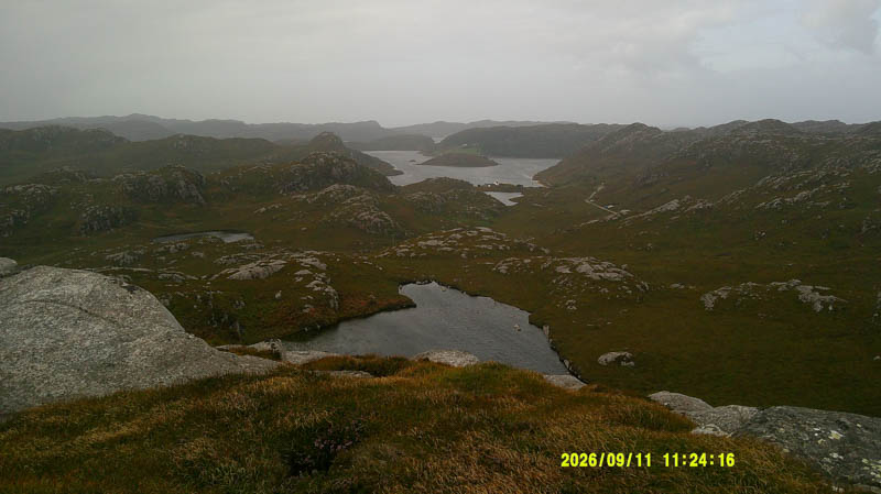
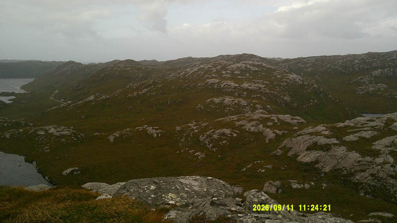
A direct descent west was prevented by some crags so headed south-west then north before climbing north-west onto an outcrop marking the highpoint of the Tump Ceathramh Garbh West Top.
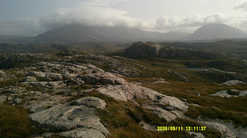
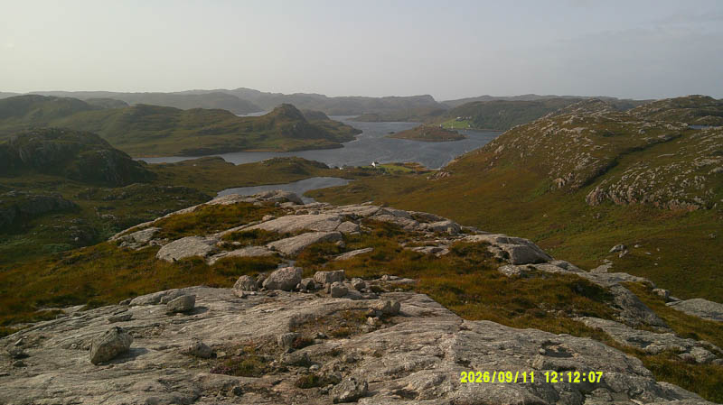
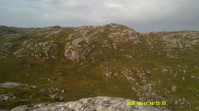
Again, progress west wasn’t possible due to more crags so descended south-west then north to climb the Tump, Cnoc an Daimh marked by an outcrop beside the cairn.
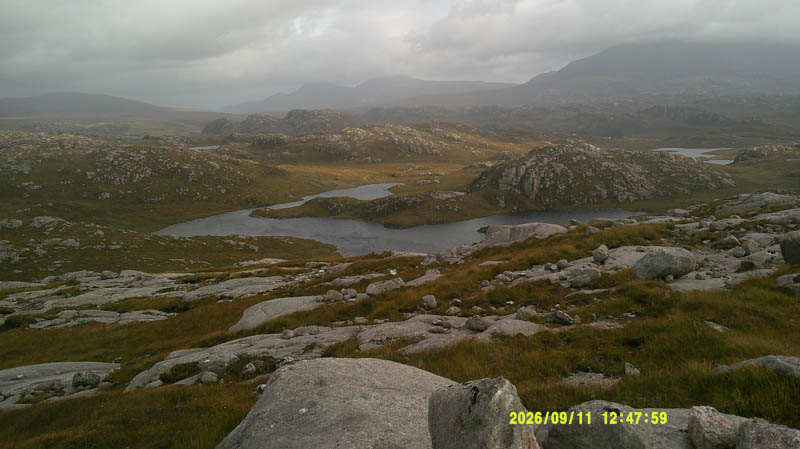
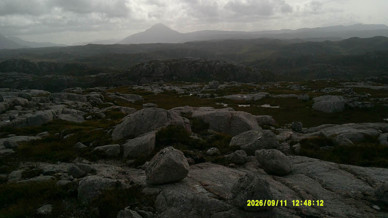
The descent south-west then west to the north of a knoll and to the south of a small lochan was followed by an ascent of Cnoc an Daimh West Top. The highest point of this Tump was an outcrop.
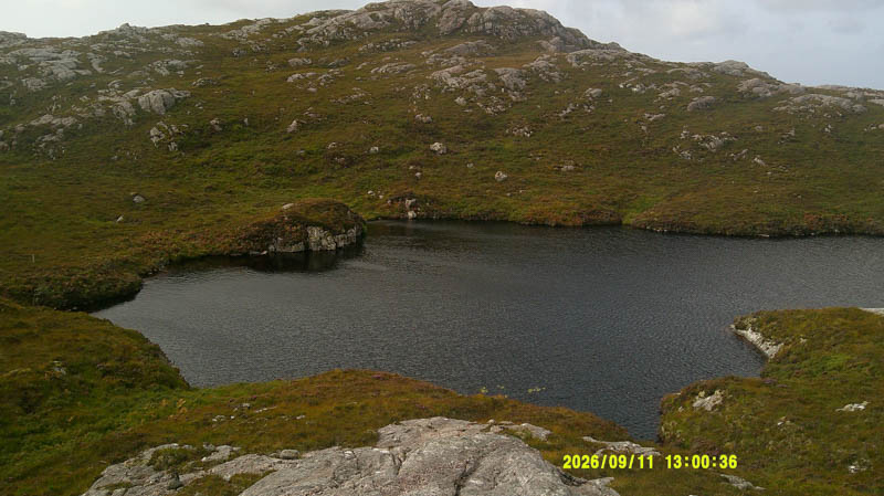
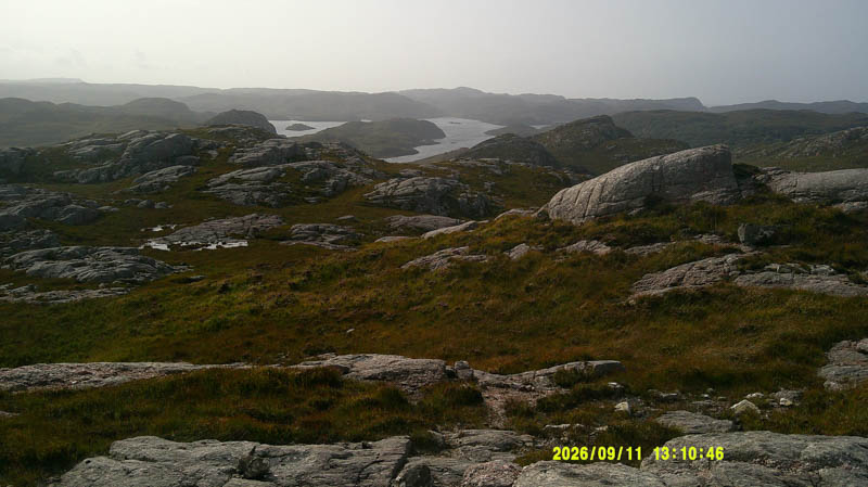
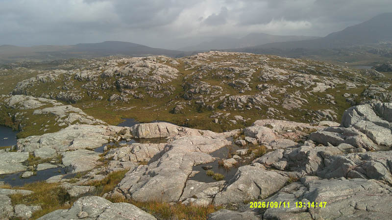
Returned to beyond the knoll before descending SSE to the Ardmore Road and walked east back to the car.
- Time taken – 3 hours 5 minutes.
- Distance 4 kilometres.
- Ascent – 250 metres.
Cnoc na Ruighe Shligeich and Cnoc Rhiconich – Parked at the south side of the A838 just west of the Rhiconich Hotel entrance. Walked through some wet ground and bracken followed by a mixture of grasses, heather and bog onto the obvious summit of the Tump, Cnoc na Ruighe Shligeich, marked by an outcrop.
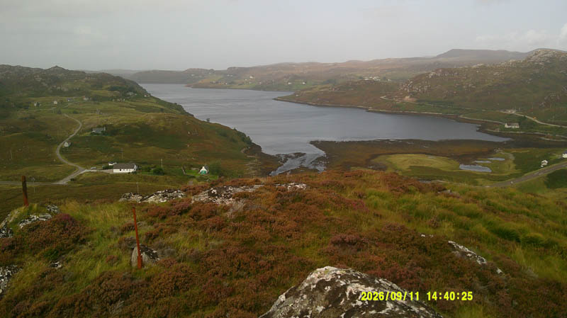
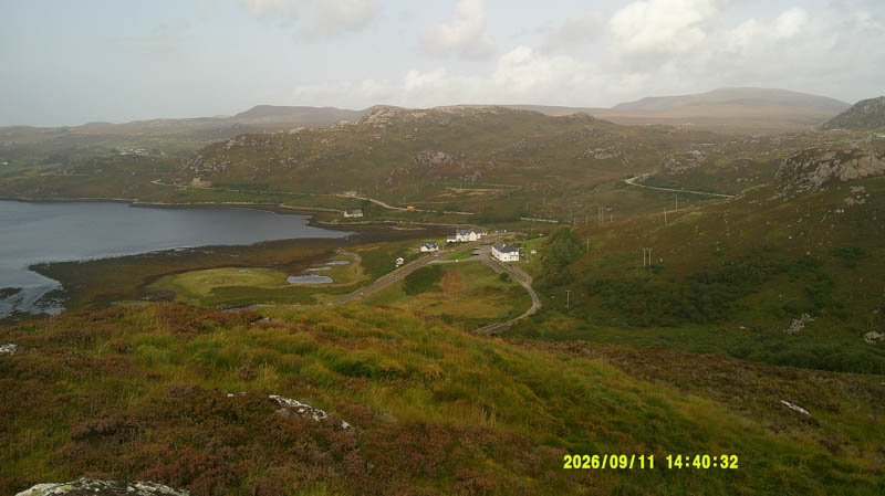
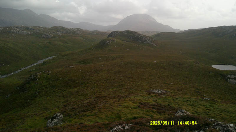
Descended south-east across more of the same rough vegetation, went through a gap in a stock fence, and climbed Cnoc Rhiconich. The highest point of this Tump was marked by an outcrop.
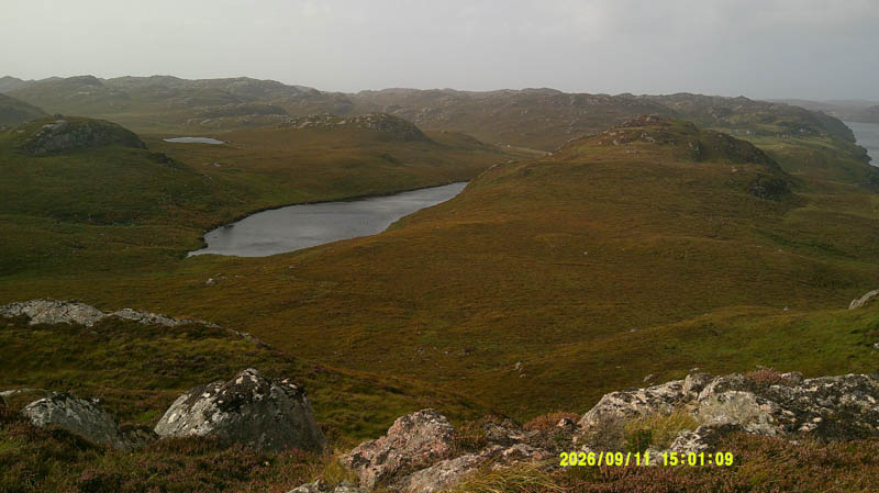
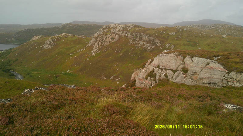
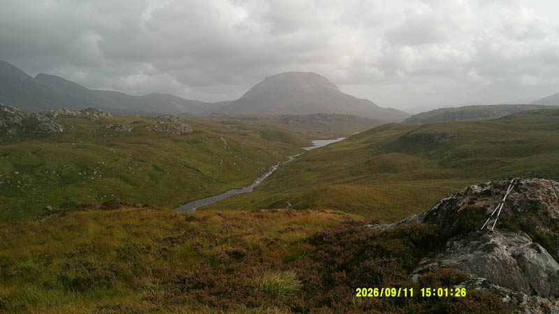
Briefly continued south-east to avoid the steep drop then descended north-east through long vegetation and bracken to reach the Rhiconich River with the intention of crossing it and climbing Creag Ruidh a’ Choinich. However, the river was running fairly fast so it wasn’t worth the risk of attempting a crossing. Instead followed the rivers west bank back to the car. Underfoot was horrible and slow going and involved some height gain to avoid the birch trees. This was the worse section of the days Tump bagging.
- Time taken – 1 hour 25 minutes.
- Distance – 2 kilometres.
- Ascent – 125 metres.