Drove south from Hope on the A838 along the minor single-track road to the east of Loch Hope as far as Alltnacaillich. Initially the road had been resurfaced but a large section was in a poor state with lots of potholes. On my last visit here in August 2015 the bridge over the Allt na Caillich had been washed away during a storm the previous month and the road was closed to through traffic.
Parked on the west side of the road opposite a large shed immediately north of the farm at Alltnacaillich and walked towards the farm then down a vehicle track to the substantial bridge over the Strathmore River.
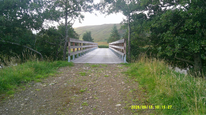
Once across this new bridge turned right (north-west) along an old vehicle track now overgrown with long grass which was wet.
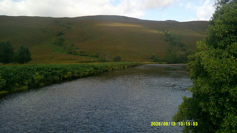
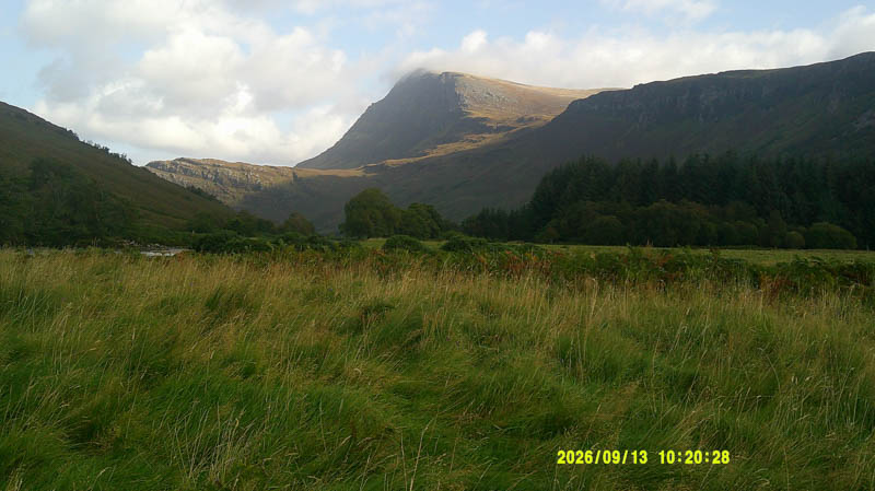
Prio to reaching a band of trees crossed a wee stream and walked WNW through wet ground consisting of grass, heather and bog myrtle on an easy gradient.
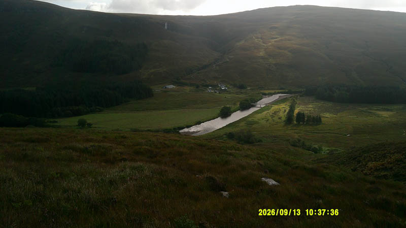
Higher up the vegetation, now minus the bog myrtle, was longer and thicker especially around the undulations slowing progress. Eventually reached the rock marking the summit of the Sub 2K Marilyn, Feinne-bheinn Mhor with good views in all directions.
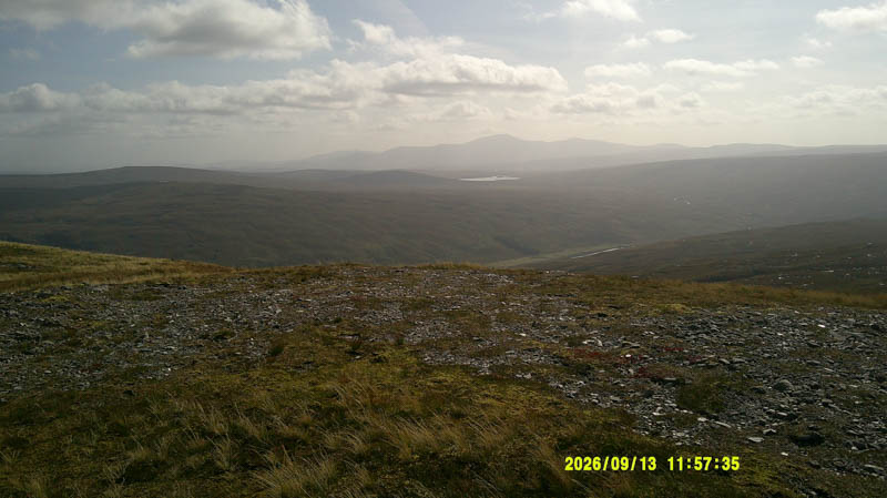
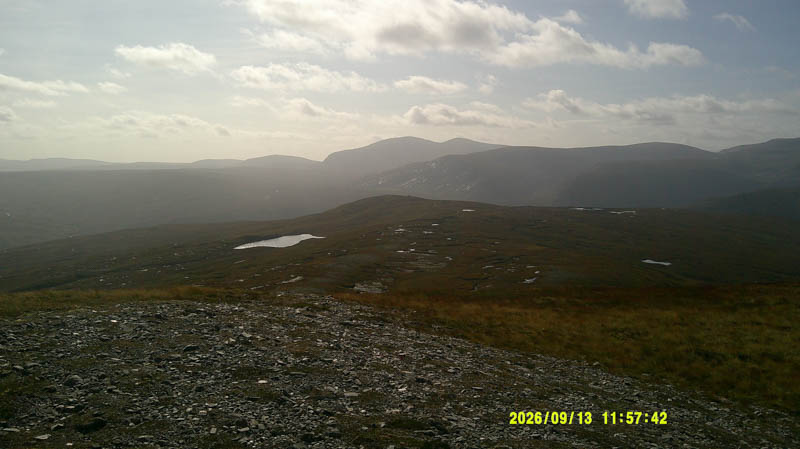
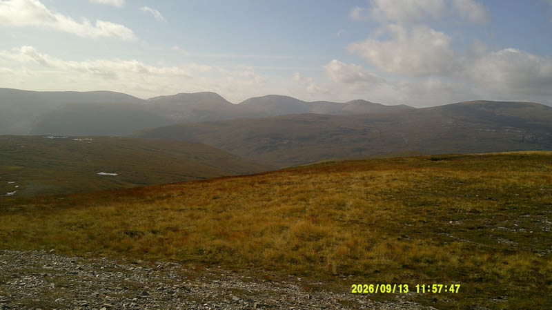
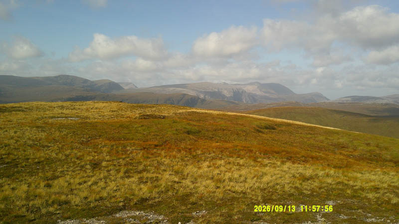
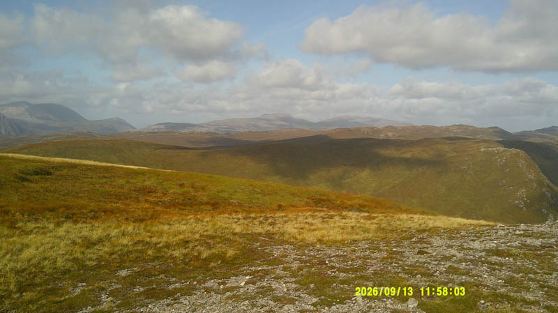
Walked across, north-east, to the cairn which may be of equal height.
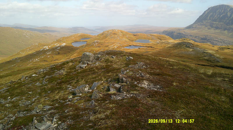
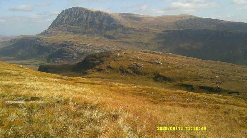
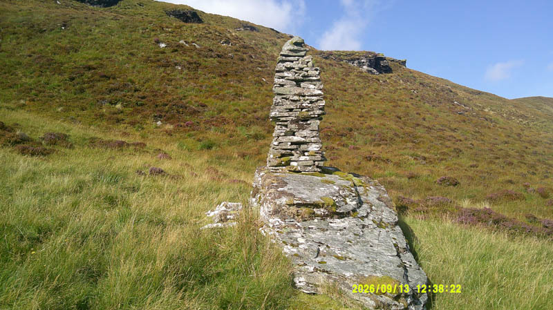
Continued in the same direction to the twin lochans south of An Grianan thereafter it was a fairly steep descent to a tall, pointed cairn on slab rock, the significance is unknown.
From there climbed east then north-east, avoiding the outcrops, onto the summit of Creag na h-Iolaire. The highest point of this Tump was marked by a couple of rocks on an outcrop.
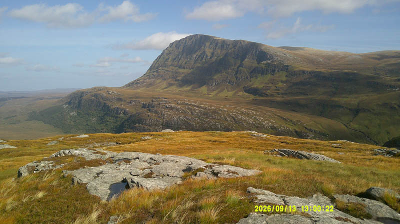
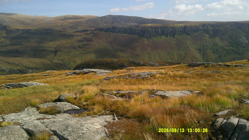
Descended south-east, crossed the Allt na Faing and climbed north-east onto the Tump, Creag na Luibe Baine, marked by a rock on an outcrop.
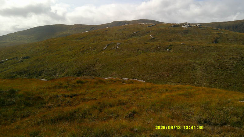
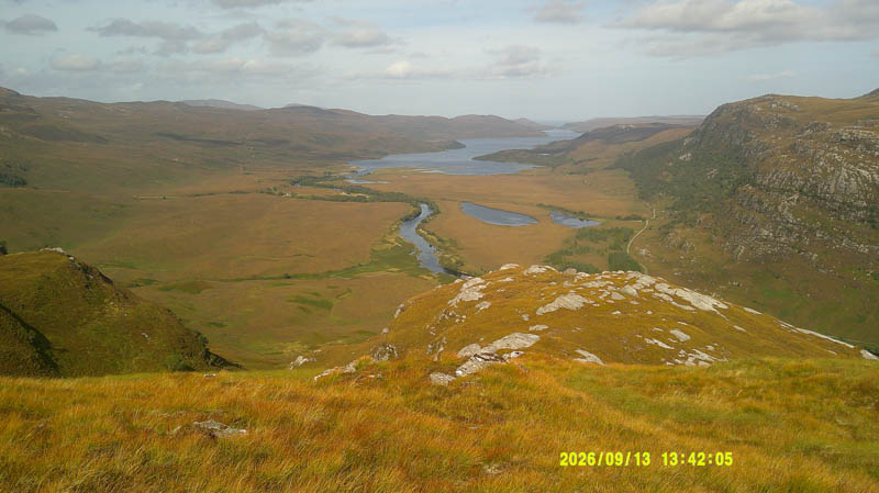
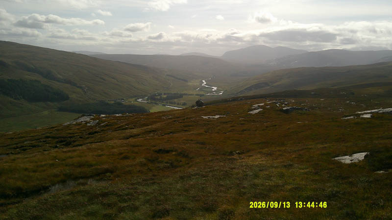
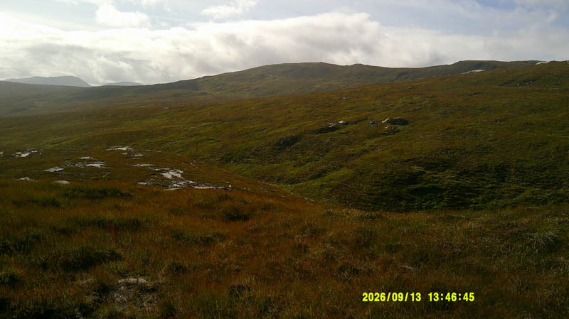
The descent SSE was on pathless terrain staying high to avoid a couple of gullies before heading south-east towards the birch trees enclosing a third gully. With no obvious crossing point descended towards the Strathmore River then it was through the trees and head high bracken to cross the gully to join the old vehicle track used earlier that day, and back to the car.
- Time taken – 4 hours 35 minutes.
- Distance – 8.5 kilometres.
- Ascent – 585 metres.