Parked on the east side of the A836 Invershin to Lairg Road at the start of the vehicle track south of Achinduich. (NH58099955) (not shown on my map) The track soon turned north, merging with the track from Achinduich, before going east gradually gaining some height.
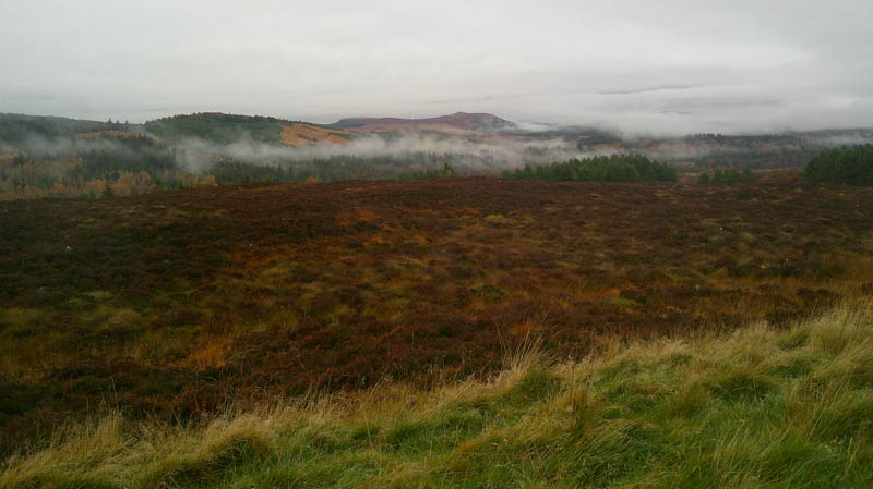
Met a couple of chaps surveying the track with plans to widen it, although they didn’t say why, likely for more wind farms which are prolific in the Lairg area.
At NC59190019 left this track, went through a gate and walked north amongst the trees on a little used vehicle track later leaving it and heading south-east for around 400metres, across soft, wet vegetation with a few waterholes to reach the summit of the Tump, Cnoc Torr an Leamhain. Difficult to tell which clump of vegetation was the highest.
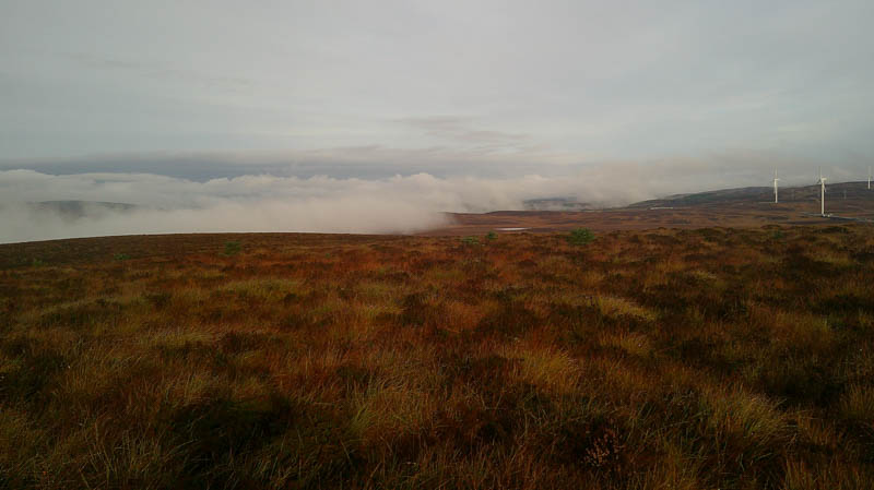
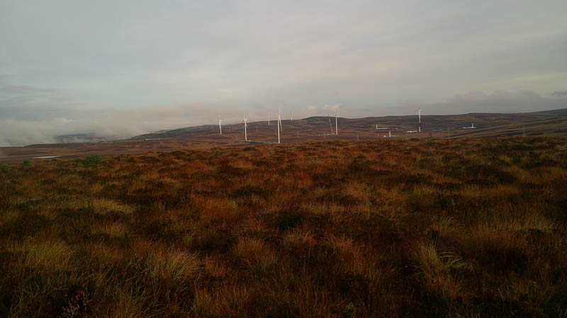
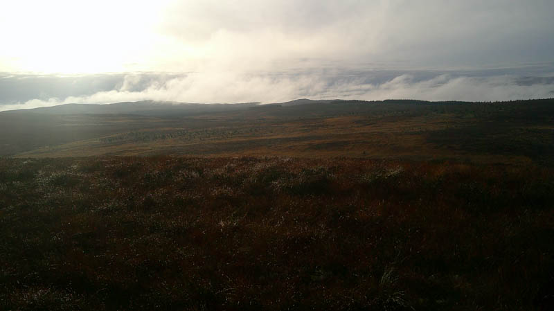
Descended easily south-south-west, trees lower down well enough spaced, crossed the stock fence and vehicle track, before continuing in the same direction through boggy ground. The ascent of Cnoc na Moine Duibhe was through rough vegetation with a few odd firs growing on the open hillside. Crossed a deer fence then headed initially to the alternative summit of this Tump at NH58919921, located within some young firs and waterholes It was then onto the designated top, the highest points of both hard to determine.
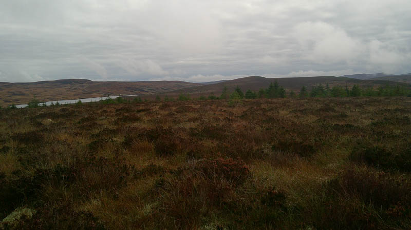
Headed off in a south-south-easterly direction then south through some well-spaced young trees. Machinery had churned up areas of vegetation and damaged a few of the firs, no idea why. Crossed a deer fence and another vehicle track before continuing the descent south to cross the Allt an Reidhe Dhorcha, just a narrow strip of water. Climbed south, across more of the same rough vegetation, to another deer fence which had to be crossed to reach the actual summit of the Tump, Cnoc Breac, again just some vegetation marked the highest point.
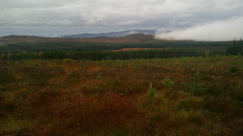
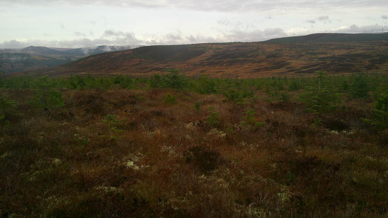
Recrossed the deer fence and descended north-east through the rough vegetation and some young trees to reach another deer fence which was followed to a vehicle track and gate. Once beyond this gate headed south-east along the vehicle track into a young woodland. Later left the track and used an old forestry one, probably created during tree planting, to reach the edge of the deer fence. Walked east, later north-east along its edge then it was into the young trees and waterholes to reach the summit of the Tump, Sron Ach’ a’ Bhacaidh, again just some vegetation.
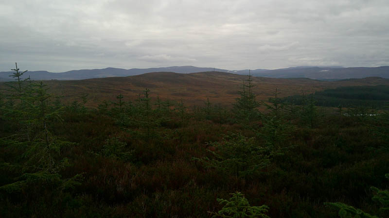
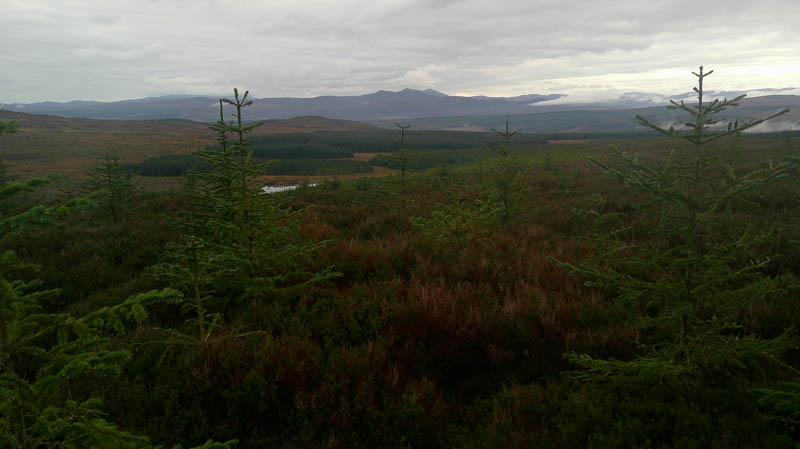
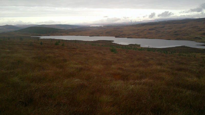
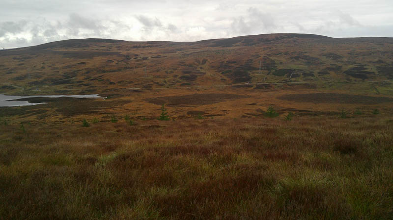
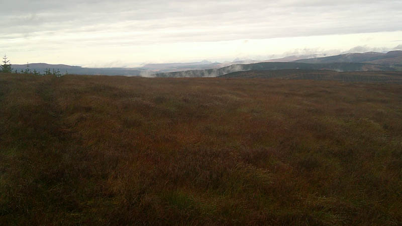
Returned to the gate in the deer fence and followed the vehicle track, (not on my map) north-west, below Cnoc na Moine Duibhe to join the vehicle track at NH58099955 near its starting point.
- Time taken – 4 hours 50 minutes.
- Distance – 12 kilometres.
- Ascent – 340 metres.