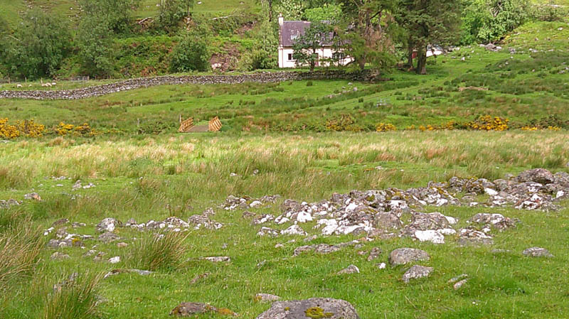
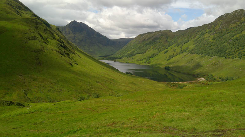
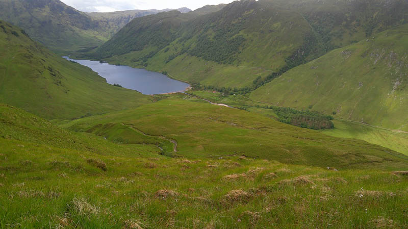
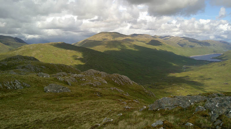
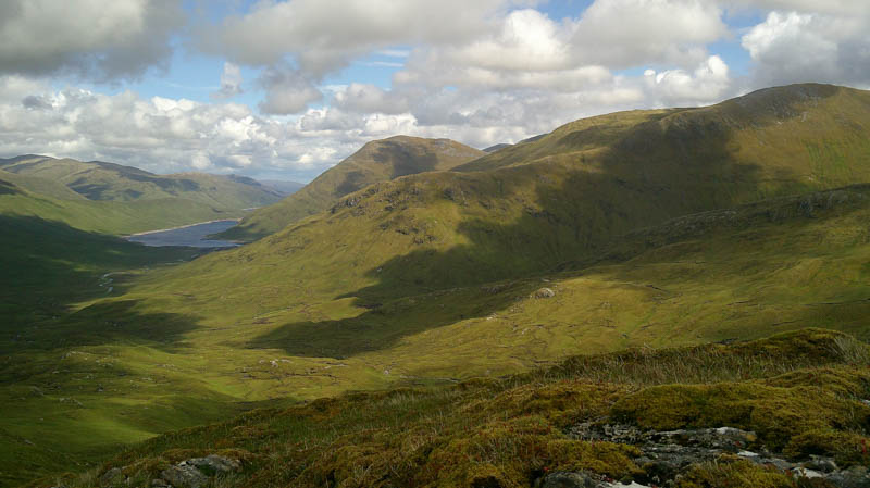
Left the vehicle in the parking area west of Killilan, accessed along a single-track road from the A87 north-west of Dornie, and commenced the cycle up Glen Elchaig on a tarred road as far as the access to the house at Coille-righ. The now stony surface passed a couple of agricultural buildings, cycled round three Highland cows followed by three Red Angus, thankfully they moved out of the way, to a set of gates including one for pedestrians. The track, in reasonable condition with a few ups and downs, continued south-east later turning east then north-east above Loch na Leitreach to reach the unoccupied property at Carnach. Turned right here down a rougher track, crossed the bridge over the Allt Doire Gairbhe to the shielings where left the bike.
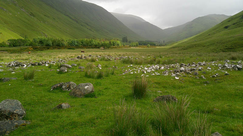
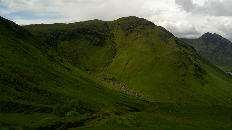
Walked south-east along the rough vehicle track on the east side of the Allt Coire Easaich later turning north-east above the Allt Tarsuinn to where a stalkers path, not that obvious, continued south.
It was a steady climb, the track wet and muddy in sections, then higher up the route turned south-east through a couple of zigzags before the gradient eased.
The track veered south-west to merge, according to the map, with the stalkers path mentioned above but the path wasn’t visible at this point.
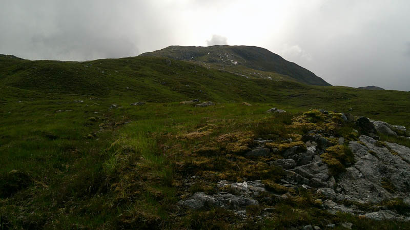
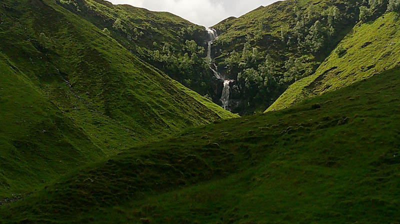
Continued south-east through mainly rough grassy vegetation later losing the track line then higher up coming across an old stalkers path beside an unnamed lochan but the path seemed to disappear into steeper ground. Climbed onto the north-east ridge of Creag Ghlas then It was a steady ascent through mixed ground to the cairn marking the highpoint of this Corbett Top.
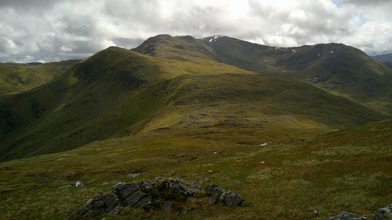
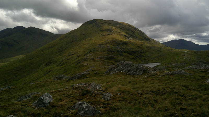
After a break here sheltering from the wind returned down the north-east ridge, a mixture of grass, rock and a few crags to the col just east of Loch Sgurr na h-Eige.
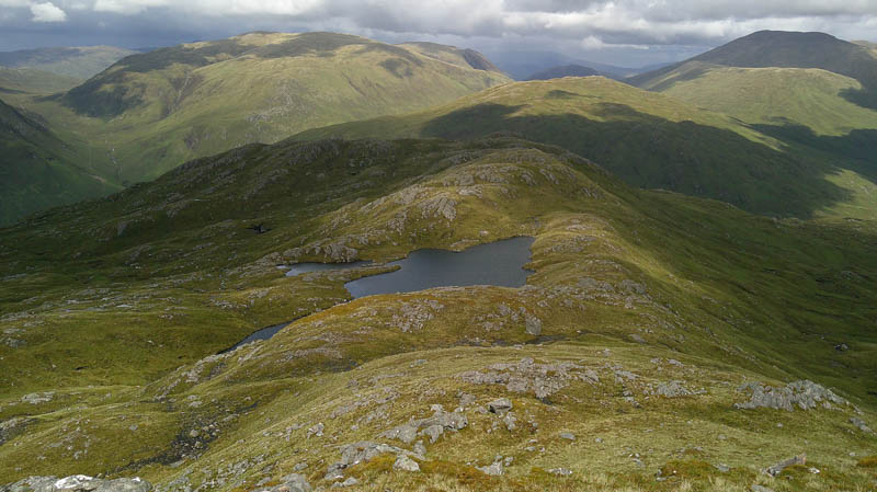
It was then an easy climb through rock onto the summit of the Graham Top, Sgurr na h-Eige, marked by an outcrop topped with a few stones.
The descent WNW was across pathless and rough vegetation with some rocks, although easy enough, to locate the vehicle track above the zigzags. Retraced the outward route back to the shielings followed by the return cycle. En-route several cows and calves blocked the track, one black Highlander took an interest in my presence, so it took a few minutes to decide to walk round them pushing the bike.
- Time taken – 6 hours 30 minutes.
- Distance – 32 kilometres.
- Ascent – 1190 metres.