The start point for this cycle/walk was Inverawe, accessed from the A85 Taynuilt to Dalmally Road along a single-track road from the Bridge of Awe. On arrival at the beginning of the track leading to the east shore of Loch Etive a notice indicated that the nearby car park was closed and that forest operations were in progress.
Managed to park beside the entrance to the track then cycled up it soon to be confronted by signs stating that access was prohibited due to forest operations. Logs were in the process of being stacked at the side of the track. With no alternative access continued through this short section (may not be the case as tree felling progresses) and onto a tarred descent through the forest to above the shore of Loch Etive.
The undulating track, a mixture of tar and hard core, continued passed Glennoe Farm then rose steeply followed by more undulations before descending to Inverliver.
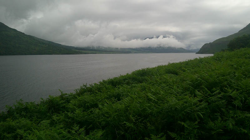
Further height gain, undulations then height loss led to the bridge across the River Kinglass, immediately south of Ardmaddy.
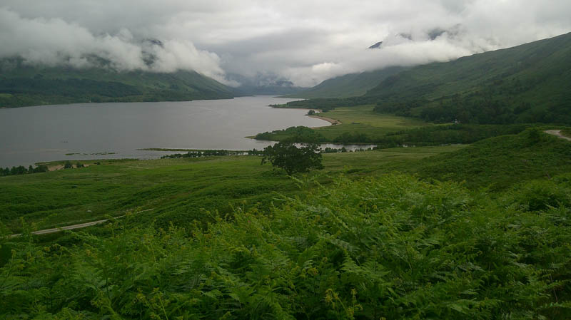
Prior to this bridge a vehicle track running east, not shown on the map, was ignored, as no idea if there was another bridge across the river.
Crossed the bridge beside Ardmaddy then immediately went right, east, along a vehicle track which wasn’t in regular use with overhanging branches from the adjoining trees. Further east the track merged with the unmapped track (apparently led to a hydro scheme to the east) beside a substantial bridge across the River Kinglass. Continued east along this track to Narrachan Bothy where left the bike.
Walked north up the west side of the Allt Narrachan initially through long vegetation. The gradient soon increased and it was a steep climb through the trees above the Allt Narrachan gorge with traces of a path. Beyond the trees and young saplings, the path was occasionally visible but at other times concealed by vegetation.
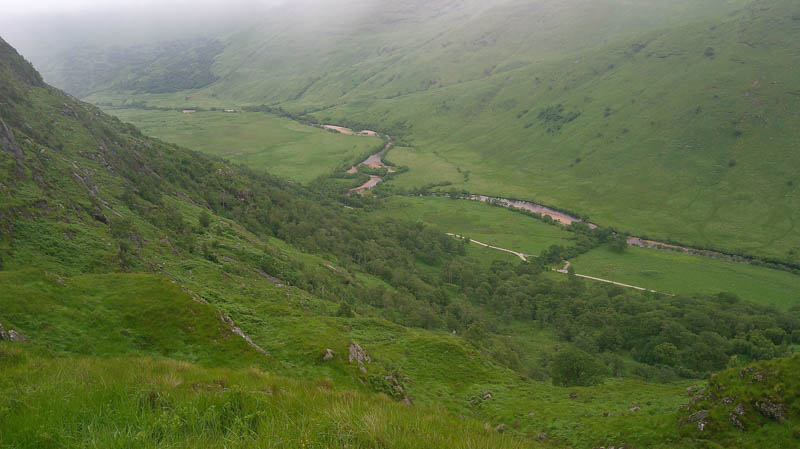
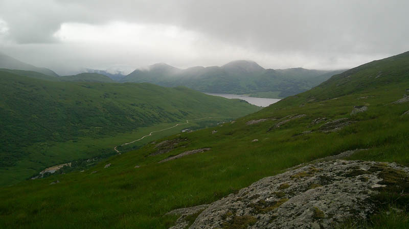
Higher up there were some crags and more long vegetation with no sign of a path.
Above the gorge descended to and crossed the Allt Narrachan above a tributary then across a second one before climbing east following an animal trail up the side of another stream and into the low cloud and drizzle.
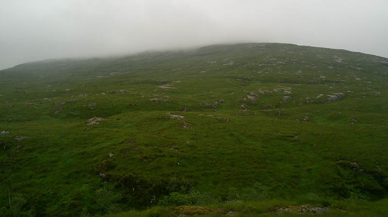
Despite the weather it was an easy climb through rocks and vegetation onto Beinn na Lus West Top. The highest point of this Sub-Simm appeared to be an outcrop.
In poor visibility headed east with a short loss of height before climbing through more rocks and vegetation onto the Graham, Beinn na Lus. The highest point was marked by a cairn.
With the low cloud unlikely to clear returned to the bothy by the ascent route. On the cycle out crossed the River Kinglass by the new bridge and used the ‘hydro track,’ which rose slightly, to rejoin the outward track and head back to Inverawe. Forest work was at a standstill as it appeared one of the vehicles had broken down.
- Time taken – 7 hours 40 minutes.
- Distance 36 kilometres.
- Ascent – 1660 metres.