This being the final day of around 10 days of winter weather I wanted to get a walk in before the thaw commenced. Getting to the start would involve some snow-covered roads so I settled for Bennachie, which involved a short drive west from the A96 at Inverurie passing through Chapel of Garioch to reach the Bennachie Visitor Centre Car Park. There were already several vehicles there with some kids and their parents playing in the snow. There is a charge for parking.
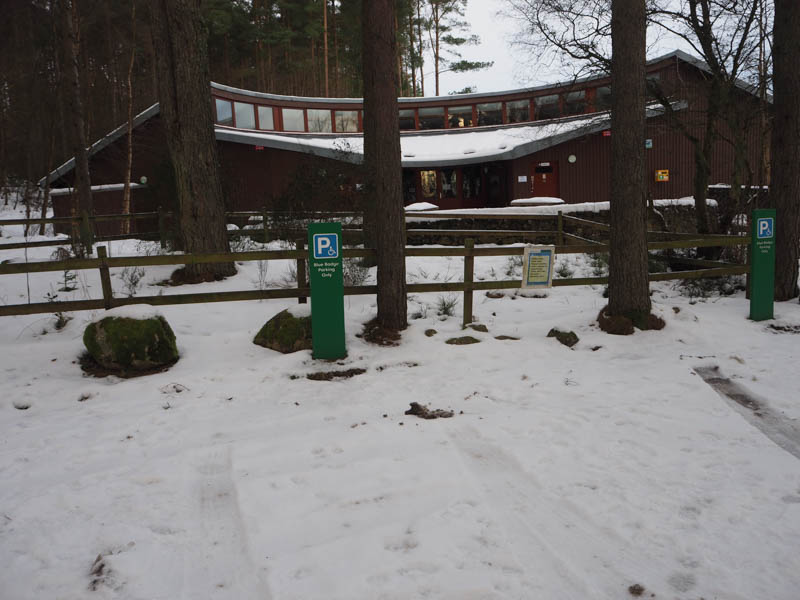
Once geared up, I had thought about sticking the crampons on from the start but opted just to put them in my sack, and headed along the path past the Visitor Centre and along the north side of the Glachie Burn. The track soon turned north-west through the trees, gaining a bit of height, and was well signposted. The snow was compacted by fellow walkers with a few icy patches, but most of them could be avoided.
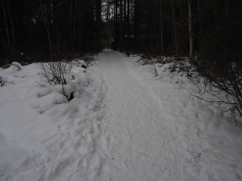
Despite the cold, -5C in the car park, it didn’t feel that chilly until well up the hill and on emerging from the trees into the open, where exposed to the cold wind.
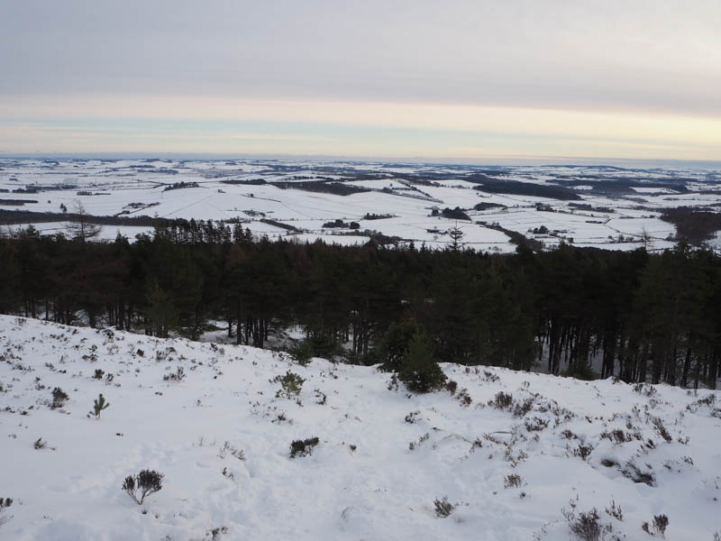
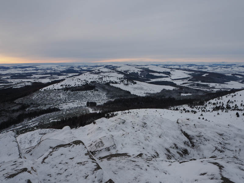
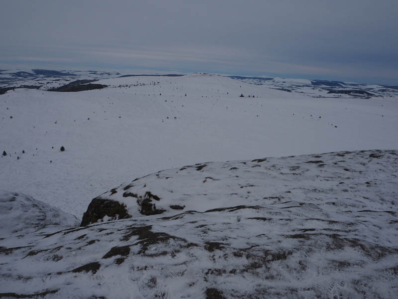
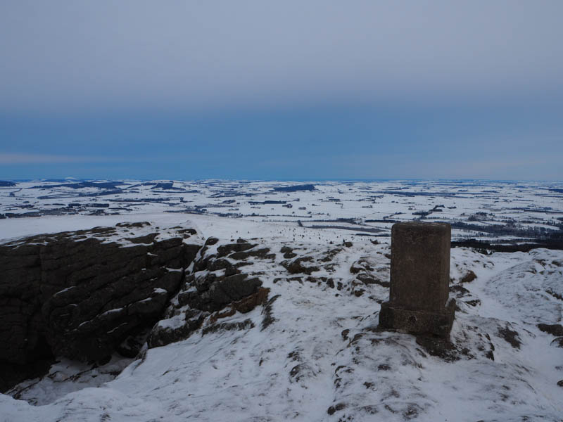
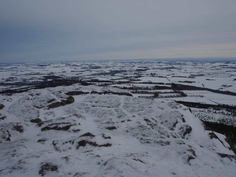
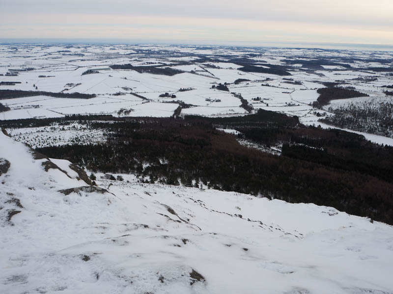
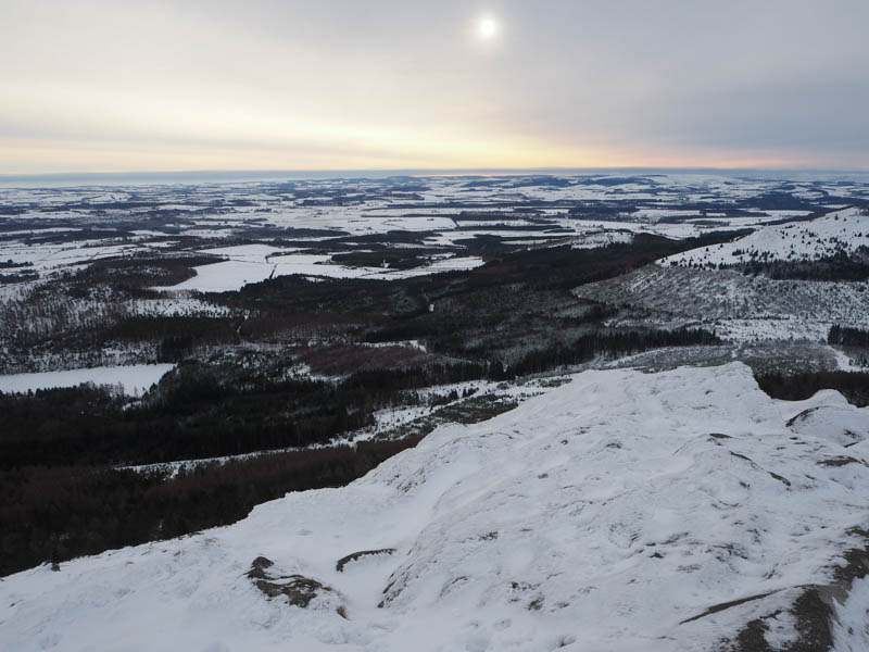
The path wasn’t always easy to see in the dullish light and was more compacted so time to put on the crampons. Later it was a bit steeper before passing through the gap in the old fort wall and onto the rocky summit of the Tump, Mither Tap, where the rock steps were filled with snow.
It was windy here with the highpoint being an outcrop SSE of the Viewfinder, so once I had taken a few photos the return was by the upward route.
- Time taken – 2 hours 30 minutes.
- Distance – 4.75 kilometres.
- Height climbed – 370 metres.