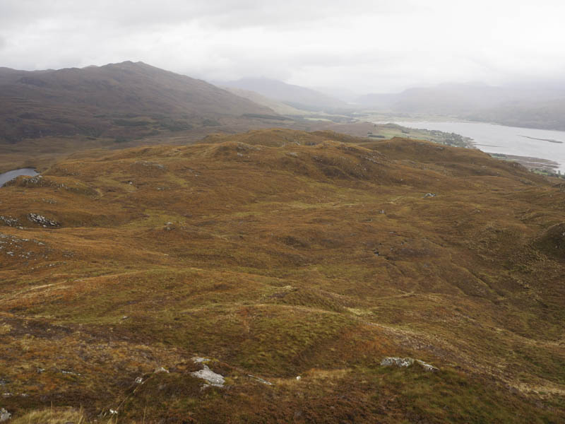
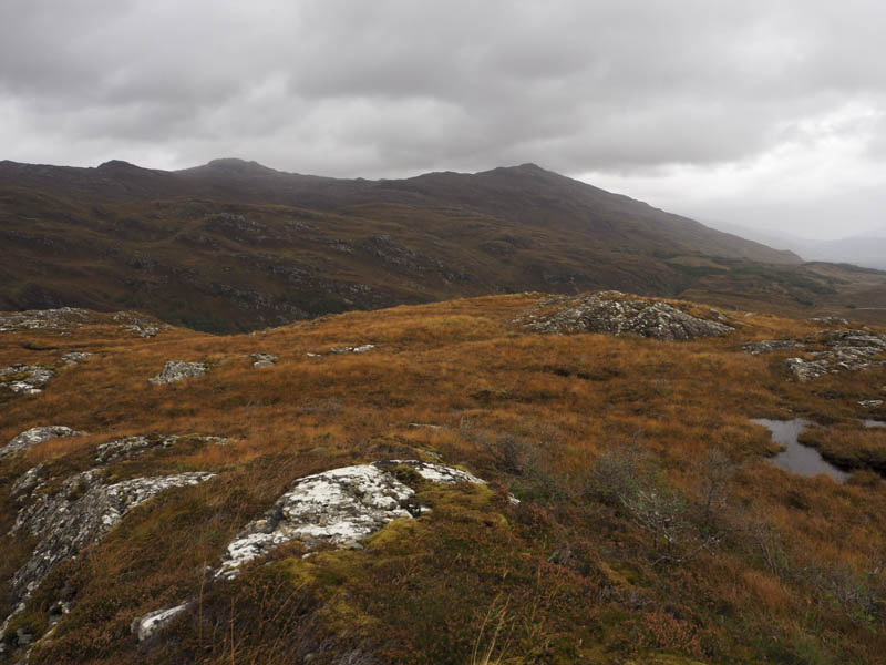
Cnoc Lochcarron, Cnoc Loch a’ Choire Leith, The Black Mares Rock and Sithean Uaine – I parked my car beside the cattle grid on the A896 Lochcarron to Shieldaig Road (NG893401) and walked west across pathless vegetation consisting of heather, grass and moss gradually gaining height. I soon reached the summit of the Tump, Cnoc Lochcarron, which appeared to be some grass and heather.
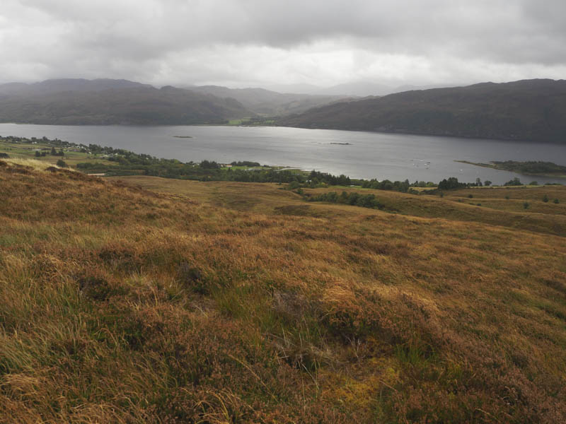
The descent south-west took me through similar vegetation then I climbed to the summit of Cnoc Loch a’ Choire Leith. The highest point of this Tump seemed to be a boulder on a heather and mossy knoll.
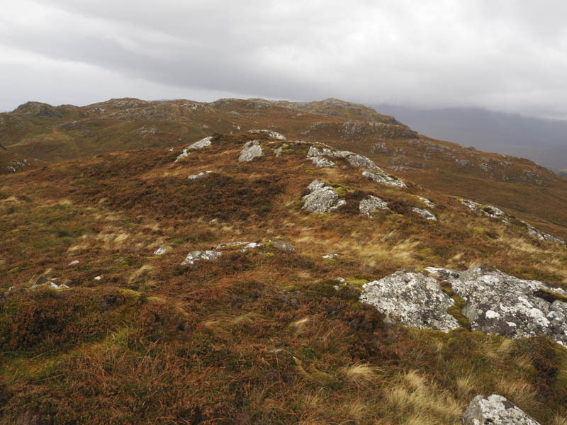
After a break here I descended south-west into some wet ground before commencing the ascent of The Black Mares Rock. This involved some long vegetation, a few undulations and walking round some rocky knolls to reach an outcrop marking the summit of this Tump.
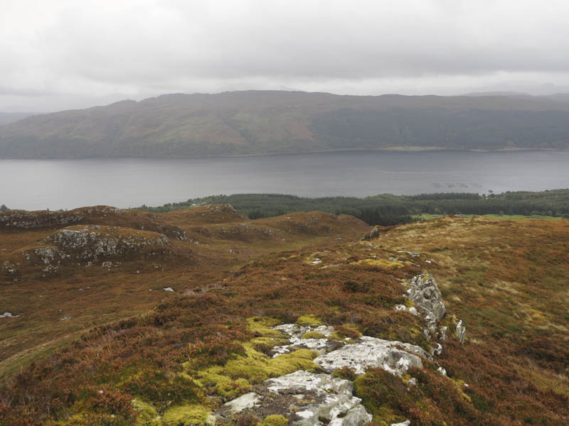
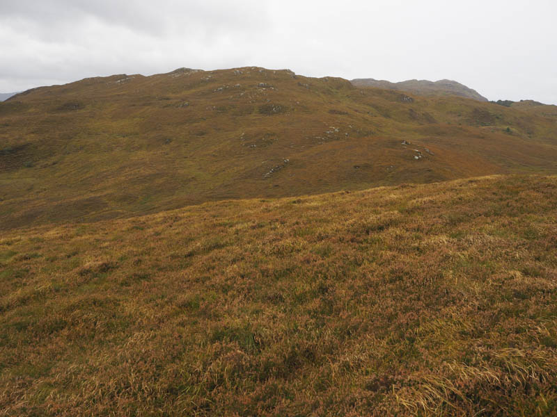
My next hill was off to the north and involved negotiating some rough vegetation and crossing a deer fence. I reached a vehicle track and what appeared to be a new gate and deer fence.
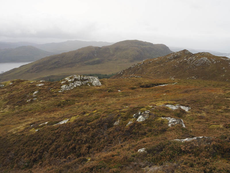
The vehicle track came to an end just east of the gate. Unfortunately I opted to pass through this gate and continue north only to discover I was on the wrong side of the deer fence to reach Sithean Uaine’s summit. I therefore crossed the deer fence and climbed to the summit of this Tump, which was a moss covered outcrop.
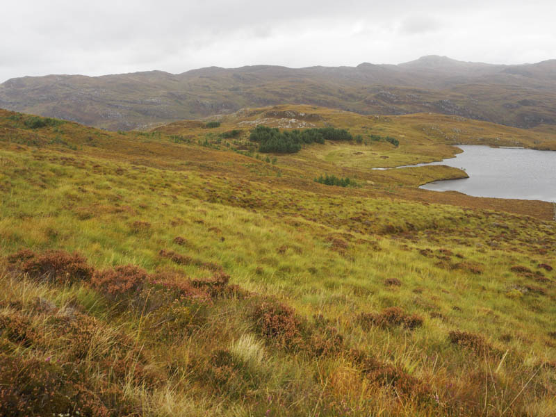
The descent east took me to another deer fence which was crossed to reach an old, wet and boggy ATV track, probably used in connection with the construction of a dam at the outflow of Loch a’ Choire Leith and the buried electric cables. I soon left this track and it was a bit of a trudge across more rough ground to reach the A896 a few hundred metres from where I had left my car.
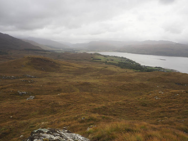
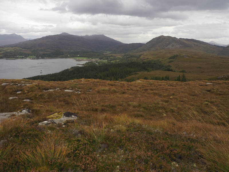
Meall na h-Airde and Aonach Pairc Dhugaill – I parked on the verge at the end of the public road, south-west of Achintaid, and accessed off the A896 Lochcarron to Shieldaig Road. I then walked west passed a couple of houses and through a gate in a deer fence into a wood. The track continued in a westerly direction gaining a wee bit of height and passed a track heading off in a south-easterly direction which I ignored.
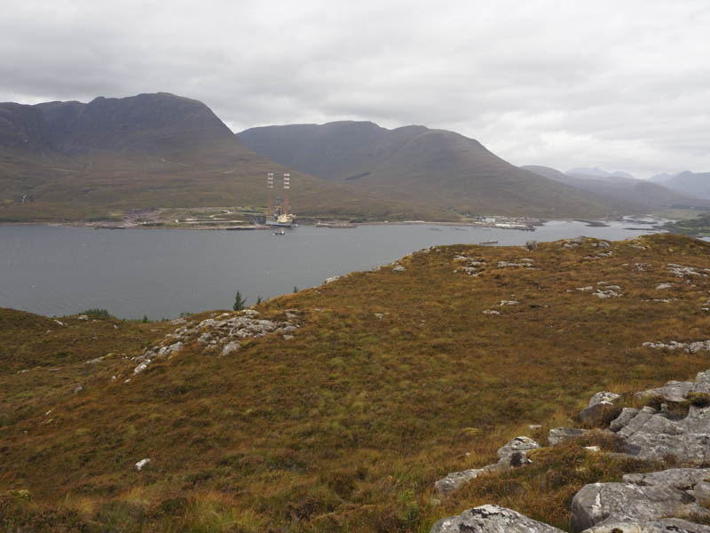
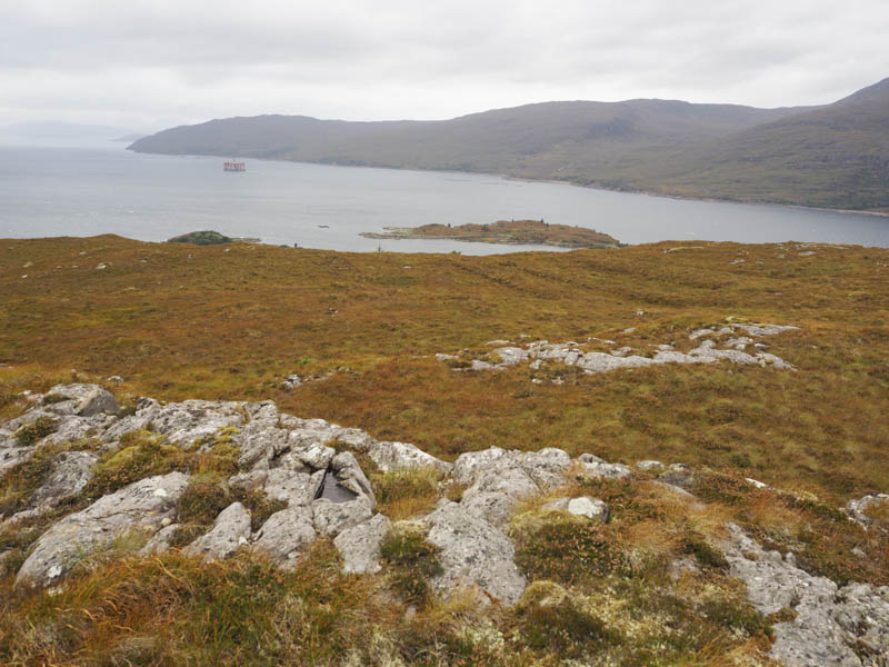
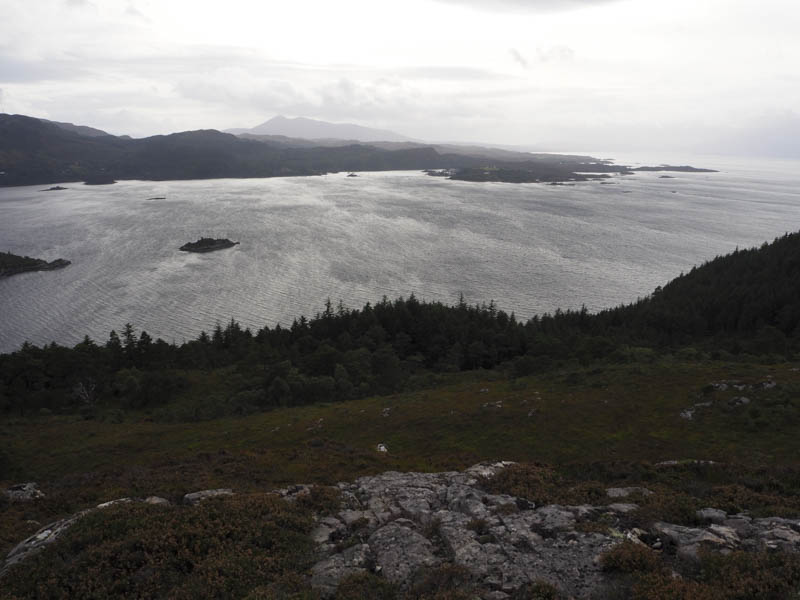
As I passed below the north face of Meall na h-Airde I started looking for a suitable point to leave the track and climb this Tump. However it appeared that the ground consisted of mossy boulders. At the highest point on the track and beyond the north face of Meall na h-Airde I left the track, pushed my way through some young trees, onto the hillside. Here I had views across Loch Kishorn to Kishorn Dry Dock and an oil rig, which I presumed was being dismantled there.
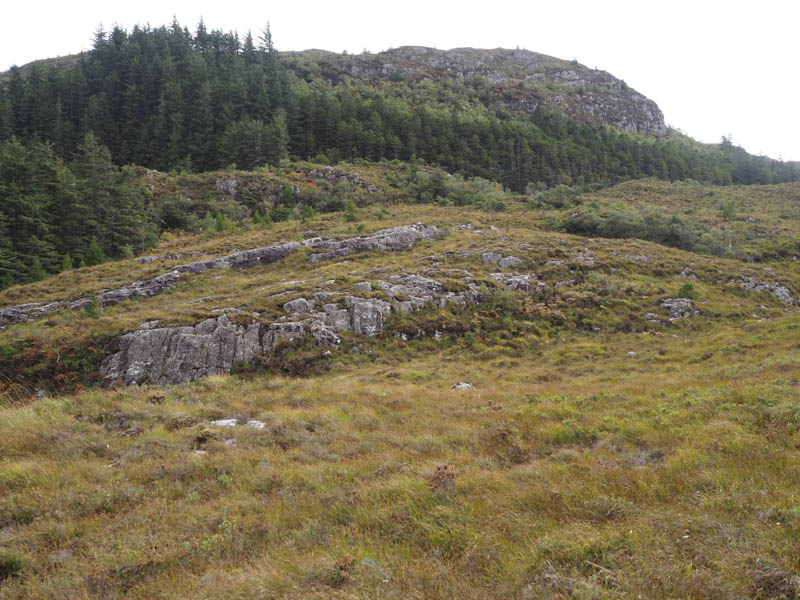
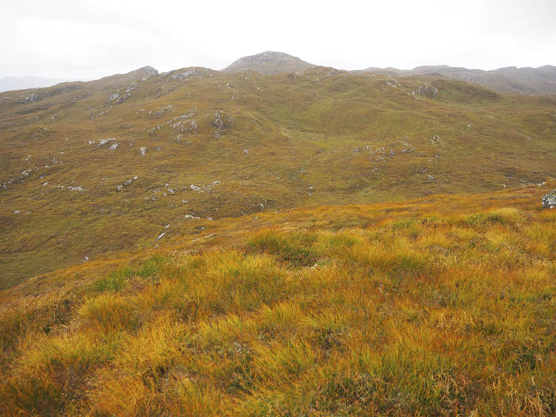
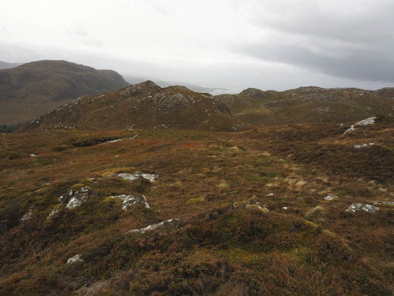
It was tough going through the rough vegetation with some wet ground as I headed south along the edge of the trees looking for a route through the crags. I came across a deer path which wound its way through the trees and the crags. It was steep and muddy in places with a few dead trees lying at an angle but if the deer could negotiate this so could I. Eventually I emerged onto the open hillside and to the west knoll which I thought may have been the highest point of Meall na h-Airde, marked by an outcrop. There were a few other possibilities so I walked over them, one had a cairn, but I couldn’t tell if it was the highest.
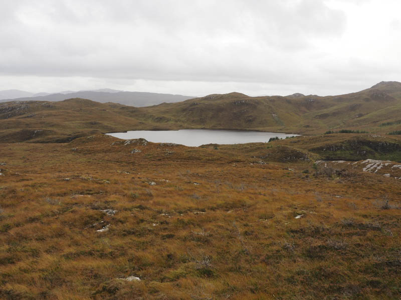
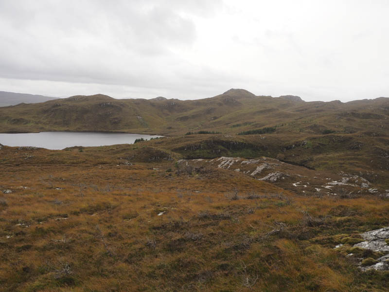
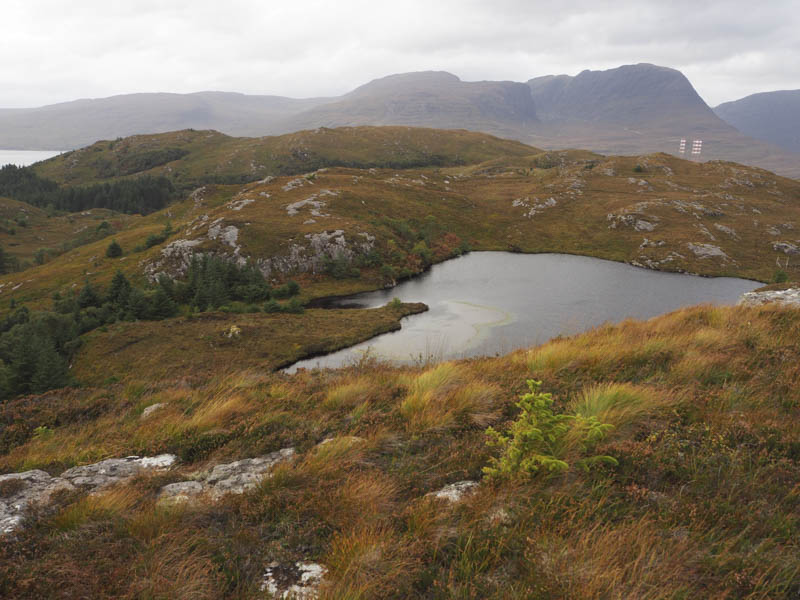
I descended east then south-east, went round a few knolls, and onto the north side of a small lochan. Beyond it I came to the edge of a deer fence which didn’t require crossing as here I turned south-west and climbed fairly steeply onto the summit of the Tump, Aonach Pairc Dhugaill, marked by a cairn.
The return involved descending north through rough vegetation and towards the trees although at that stage I wasn’t sure of a route through them. The alternative was to walk round them and back to the start. Prior to reaching the trees I came across deer tracks which I followed into the wood but here they became less obvious. I came to what appeared to be a wee stream and followed it as it wound its way downhill to later emerge at the end of the forest track I ignored earlier. It may have been an old path. Anyway this track took me back to the main forest track then it was back to my car.
- Total time taken – 6.5 hours.
- Total distance – 15.5 kilometres.
- Total height climbed – 545 metres.