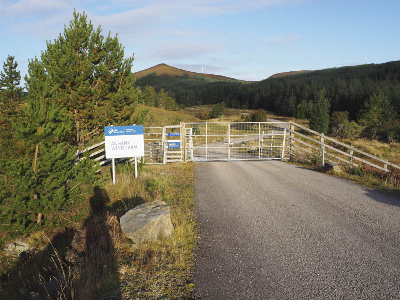
Around Achany Wind Farm – I parked at the entrance to the Achany Wind Farm, located on the north side of the A839 Lairg to Rosehill Road at NC537023. I then passed through the pedestrian gate in a deer fence, the main gate being locked by several padlocks.
A vehicle track, in a good state of repair, led north-west through the woods to a cattle grid and to the top end of the trees.
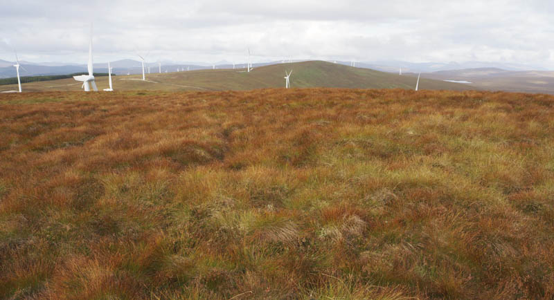
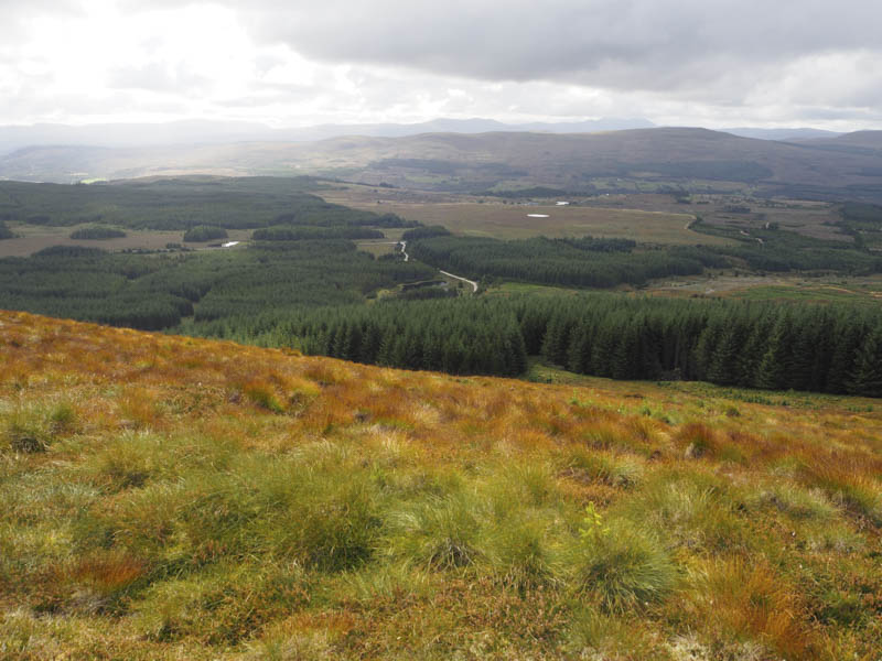
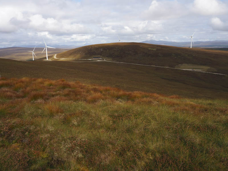
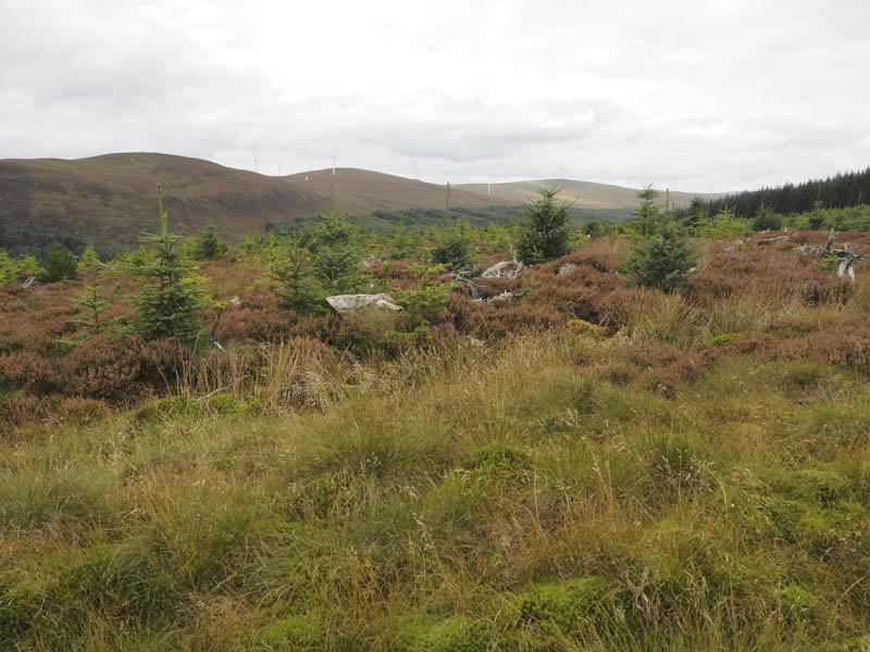
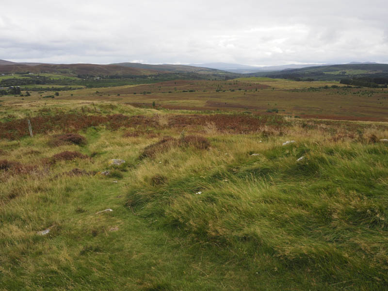
Here I left the track and walked east then north-east through rough vegetation with some boggy sections making for slow progress. This took me onto Meall a’ Ghruididh and immediately east of its summit was a digger and what appeared to be the construction of a new wind turbine. The highest point of the Tump, Meall a’ Ghruididh was some heather and grass east of the trig point.
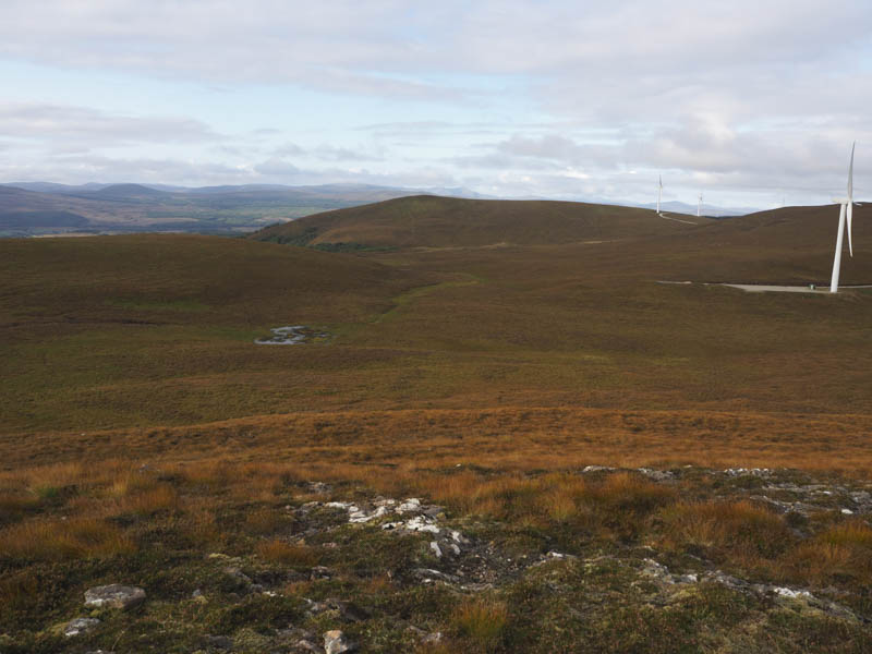
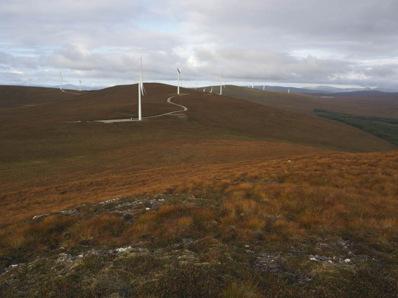
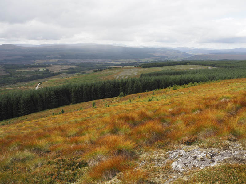
The descent west followed some caterpillar tracks to a wind turbine (number 19) and from there I briefly walked along the access track before continuing west through heather and onto the summit of the Tump, Cnoc na Cloich-bhuaile, which was just some grass.
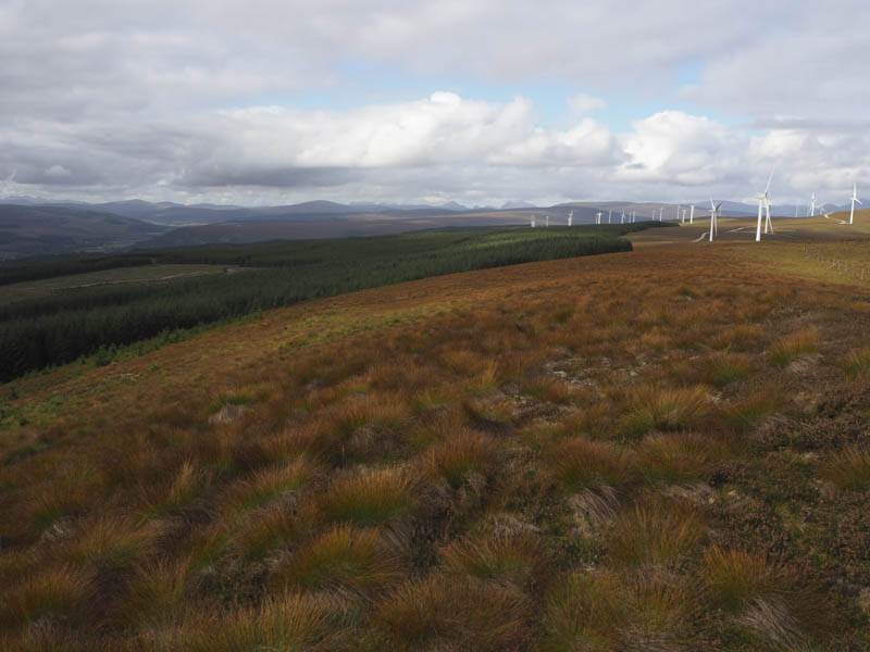
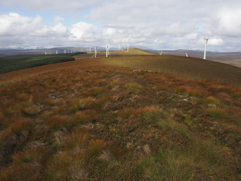
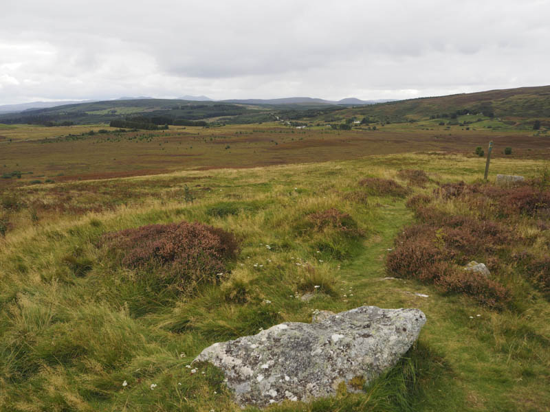
After a break here I descended steeply to the Wind Farm Control Building and re-joined the main wind farm track which was followed south-west, west then north-west gaining some height. At the highpoint I left the track and for around 90 metres crossed heather, grass and moss to reach the summit of Cnoc a’ Choire. The highest point of this Hump was a small cairn on a knoll.
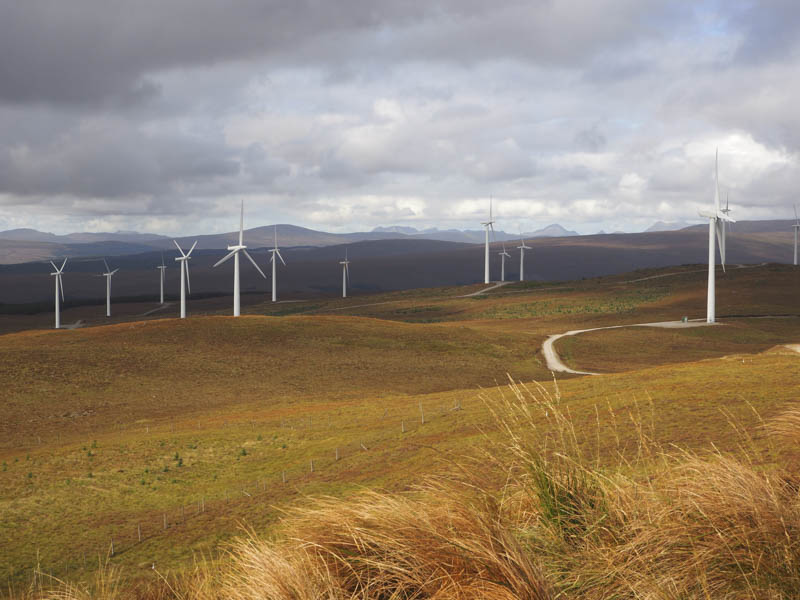
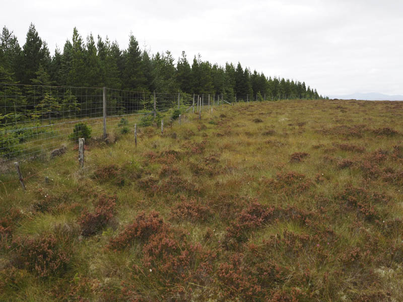
I returned to the vehicle track and towards the Control Building but at Turbine 13 left the track and walked south-east through rough tussocky heather to a deer fence which was followed to below Sron nan Iarnachan. Unfortunately I had to climb over the deer fence, the wires were a bit slack, before making the short climb to the summit of this Tump, marked by a cairn.
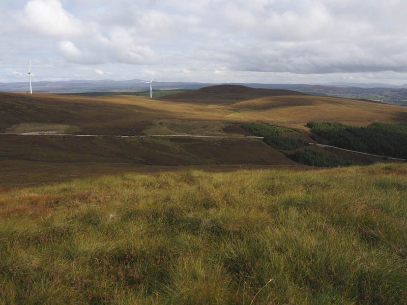
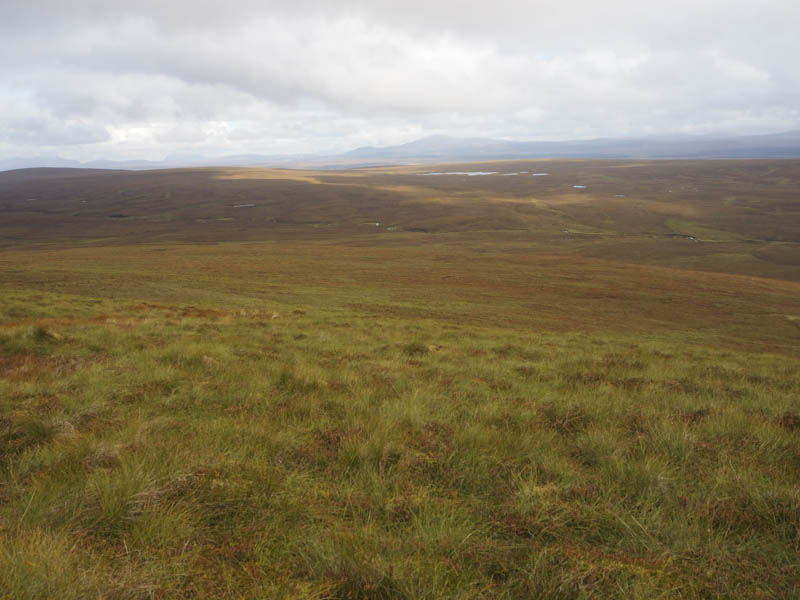
From there I headed back to and re-crossed the deer fence then followed another deer fence north-east later leaving it to make a more direct route to the wind farm track, crossing the Allt Sron nan Iarnachan, and avoiding a small dip.
On reaching the cattle grid and trees I returned by the morning’s upward route.
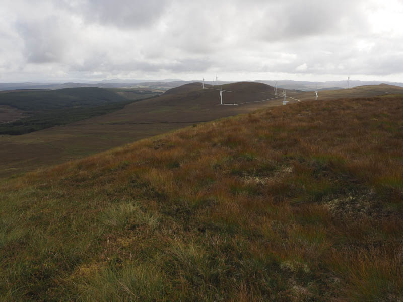
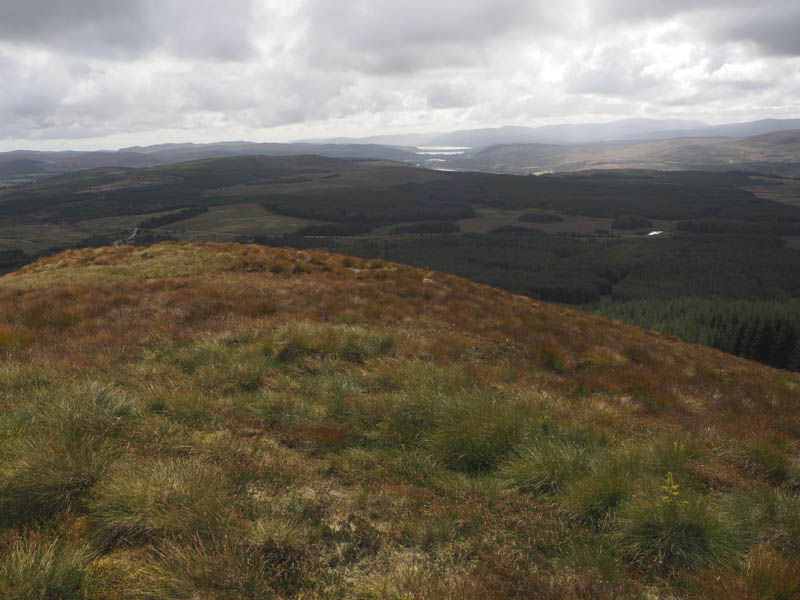
Cnoc na h-Iolaire – After visiting Achany Wind Farm I drove east on the A839 Lairg to Rosehill Road to east of Braemore and parked at the start of a forest track. (NC561035) I set off initially round a stock gate and walked north-west along the vehicle track through the trees. At a junction of tracks I went right to a locked stock gate and beyond it the area appeared to be a dumping ground for forestry operations. The track continued briefly to an old quarry where it came to an end.
From there I climbed north-east through some young trees and into soft, boggy and tussocky ground adjacent to a re-planted area. I later crossed an old stock fence and walked north-west along its edge. The underfoot conditions weren’t much better here but led to a deer fence enclosing a mature wood. I followed this deer fence to a slight bend which I thought was the highest point of the Tump, Cnoc na h-Iolaire. It appeared to me that the ground within the mature trees fell away slightly.
The return was by the approach route.
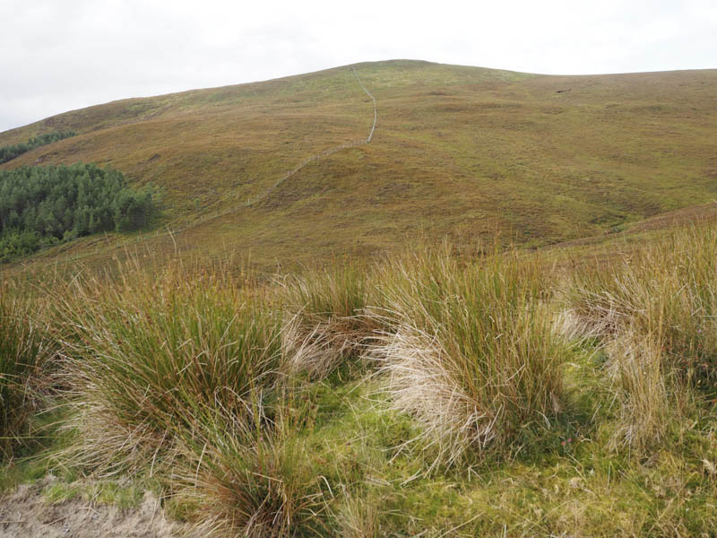
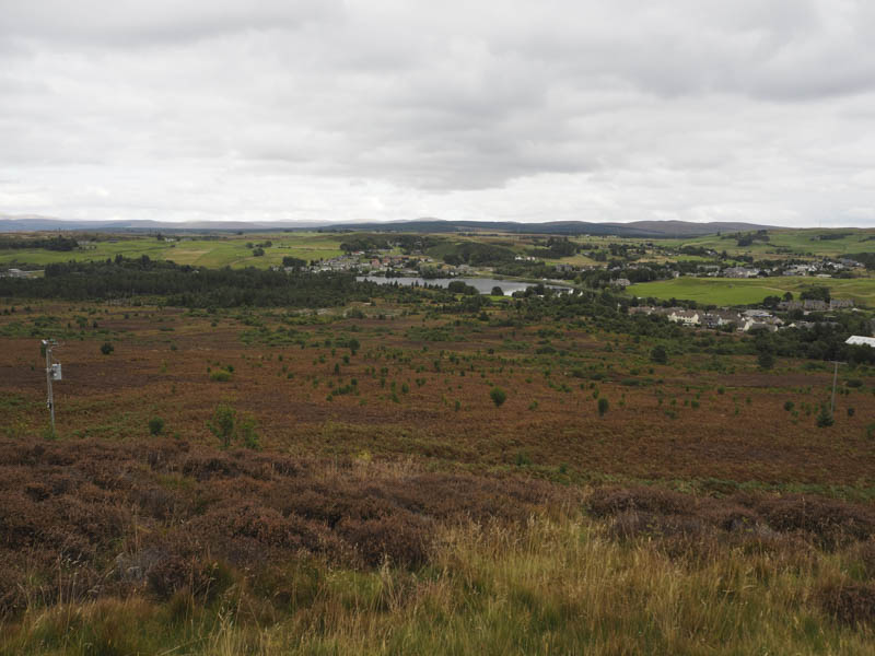
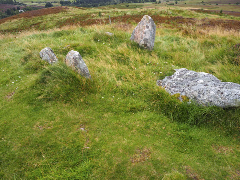
The Ord – This Tump was located west of and accessed from the village of Lairg. I left my car at Ferrycroft Visitor Centre on the west side of the River Shin and walked along a road then onto a marked path. This took me on a roundabout route through bracken and heather onto the summit of The Ord. The highest point was beside the standing stones.
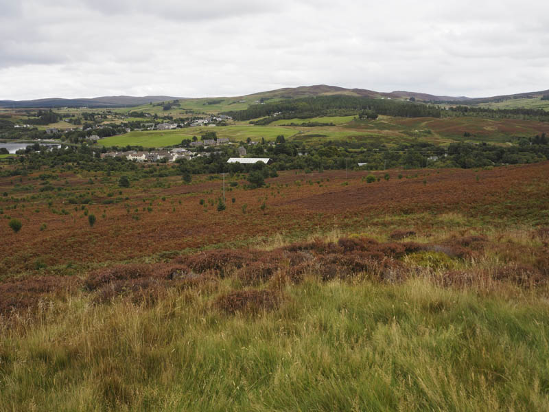
I then continued along the path which took me to a comms tower then a vehicle track that led back to the start.
- Total time taken – 6.5 hours.
- Total distance – 20.75 kilometres.
- Total height climbed – 715 metres.