I drove north on the A835 Inverness to Ullapool Road to the head of Loch Broom where I crossed the road bridge over the River Broom and parked at the side of the road near the junction to Clachan. I then walked along the tarred road towards the houses at Croftown but prior to reaching these properties I left this road and descended down a stepped path, signposted Coffin Road, and into a grassy field. A short walk across this field led to the crossing of a wee stream then through a gate onto the Coffin Road. (This route appears to have been created to avoid disturbing the occupiers of the property adjacent to the Coffin Road.)
The path, icy in places then climbed steadily south-west before later turning north-west, passing through a couple of gates.
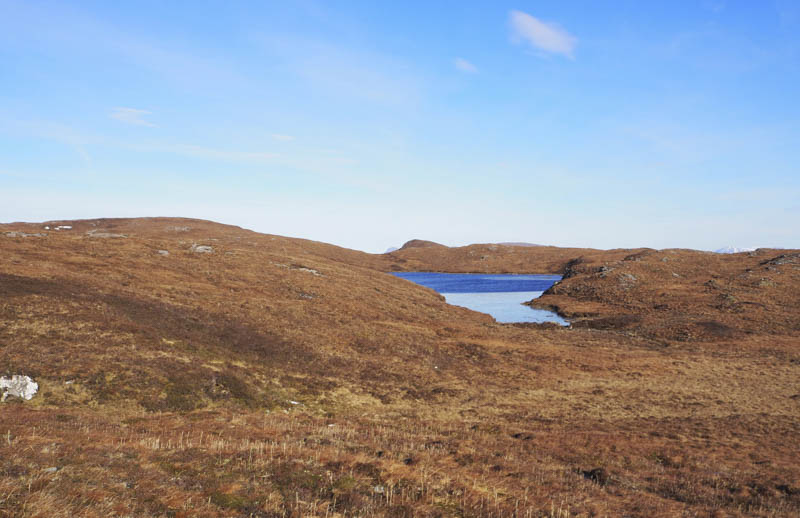
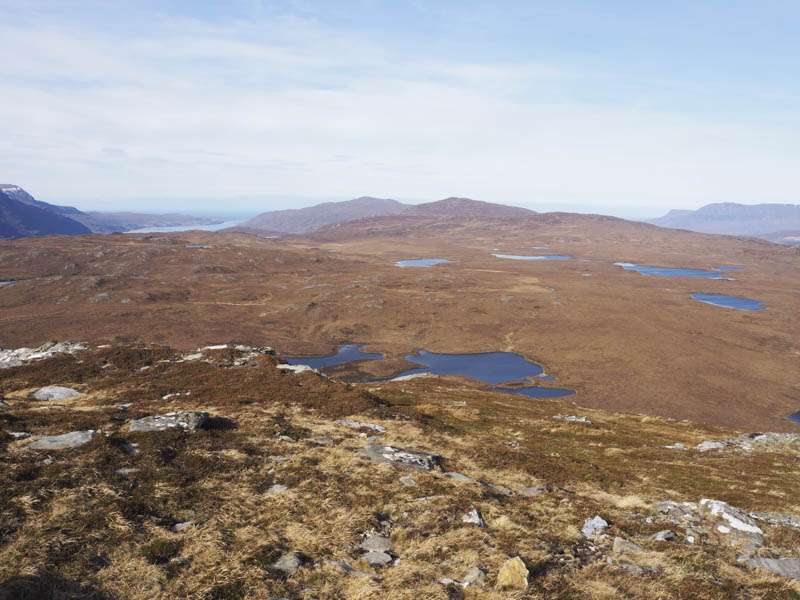
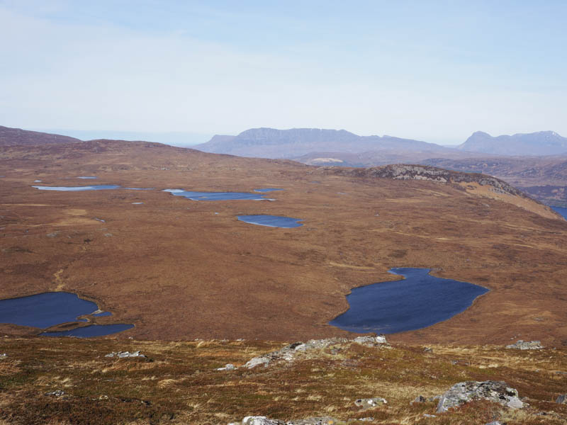
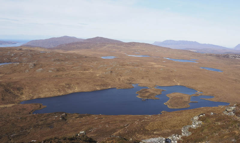
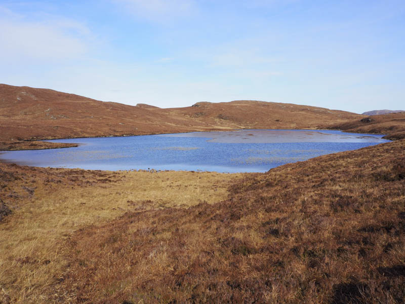
Opposite Loch an Fhiona I left the Coffin Road, which continued across the hillside to Dundonnell, and walked north across rough ground, wet in places although the frost helped to make it a bit firmer, passing west of the loch.
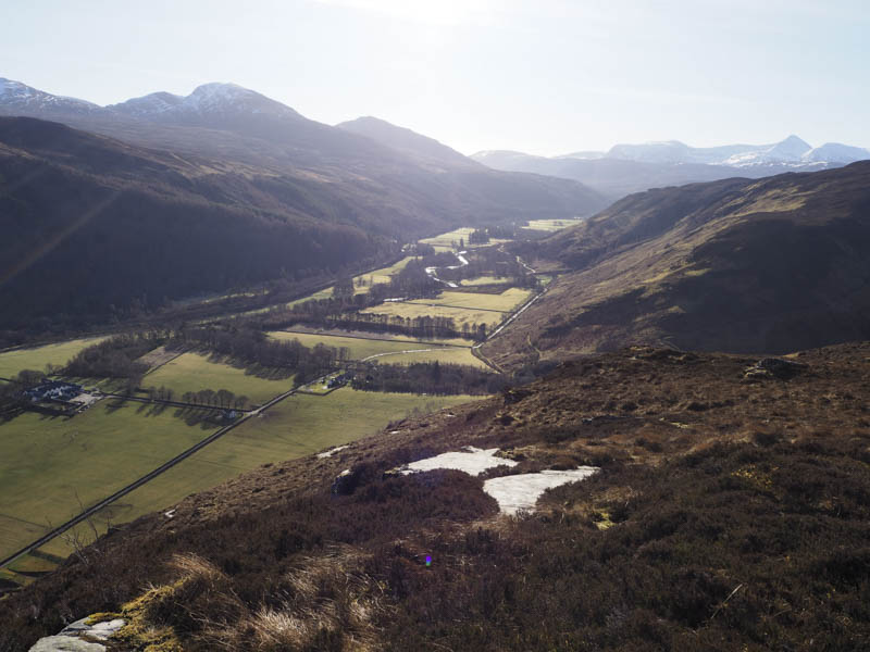
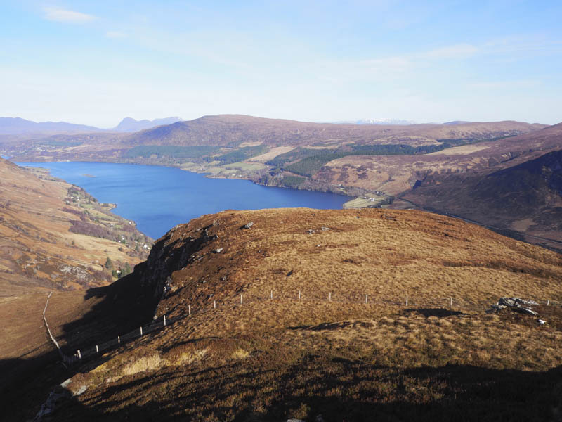
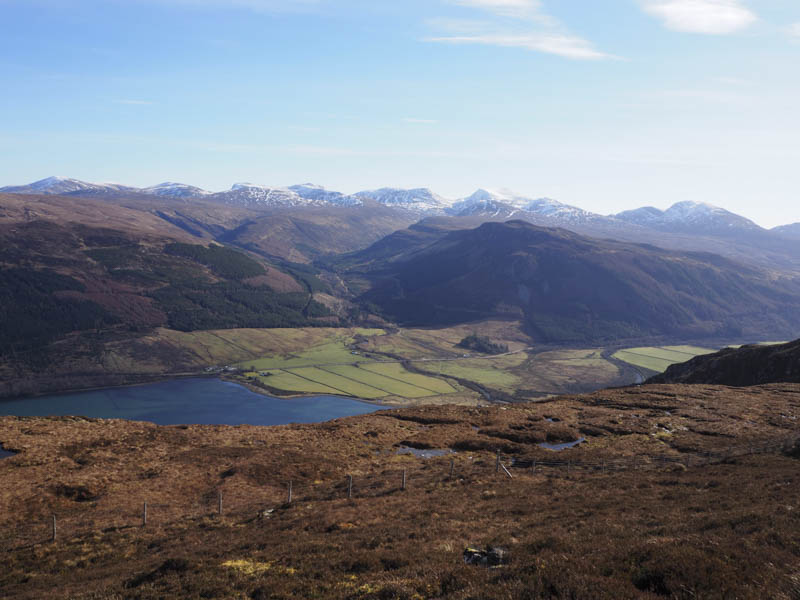
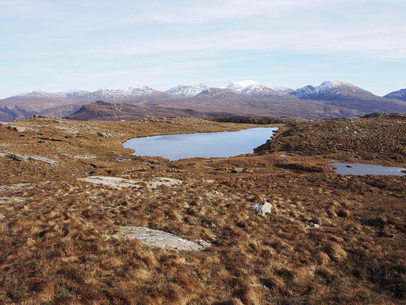
The undulating ground also consisted of some small lochans and led to a flattish grassy area. Beyond it I headed onto the east side of Creag Loisgte and to the cairn, perched beside a drop, marking the summit of this Tump. I found shelter from a cold wind, for a fuel break, with great views of the surrounding hills.
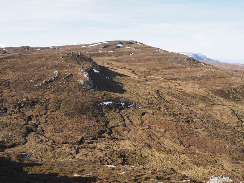
After the break I descended south to avoid the drop then worked my way round a couple of knolls before ascending the Hump, Meall a’ Chairn, where there were two cairns, the first one was lower, the higher one had a small memorial plaque attached.
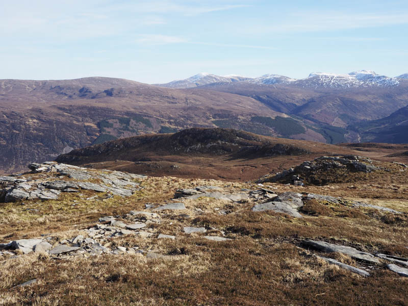
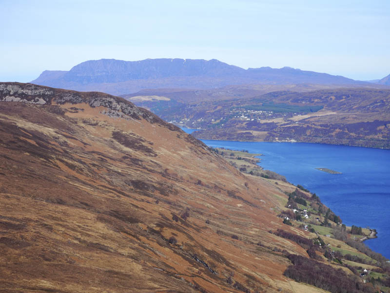
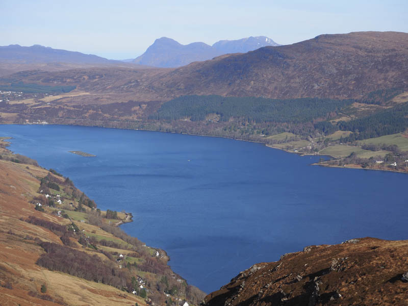
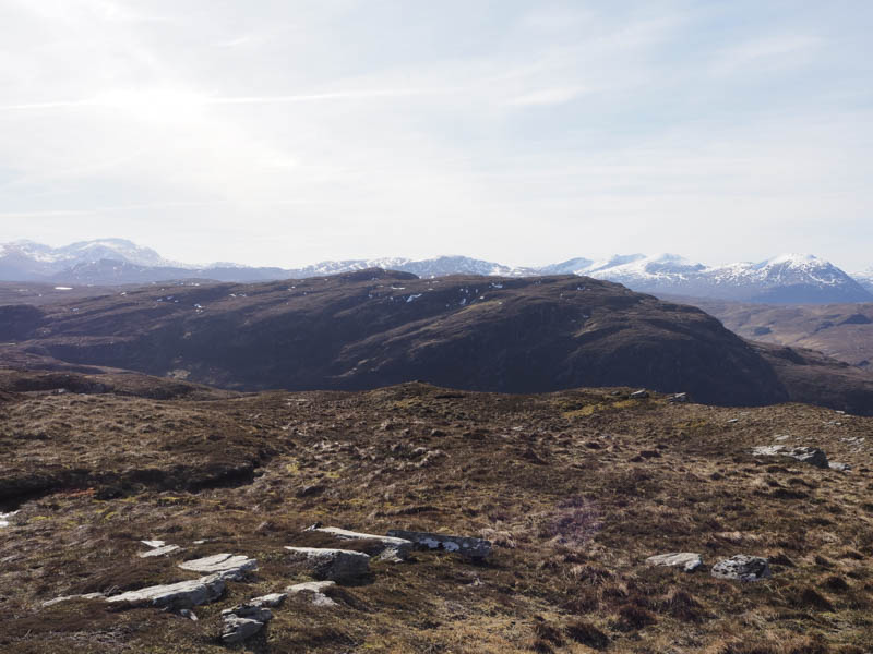
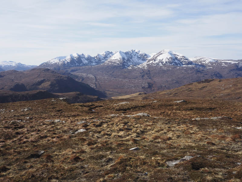
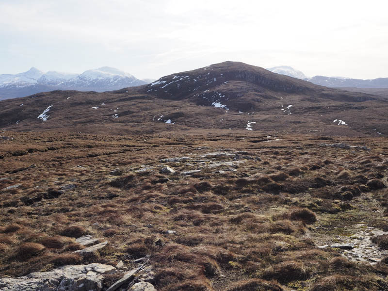
I also visited an outcrop which was apparently equally as high before descending south-west and climbing Meall a’ Chairn South-West Top (Sub 4) where there were nearer views of the snow covered An Teallach Ridge and its Munros.
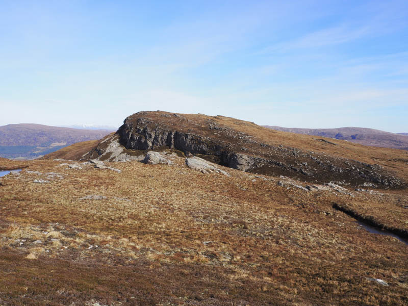
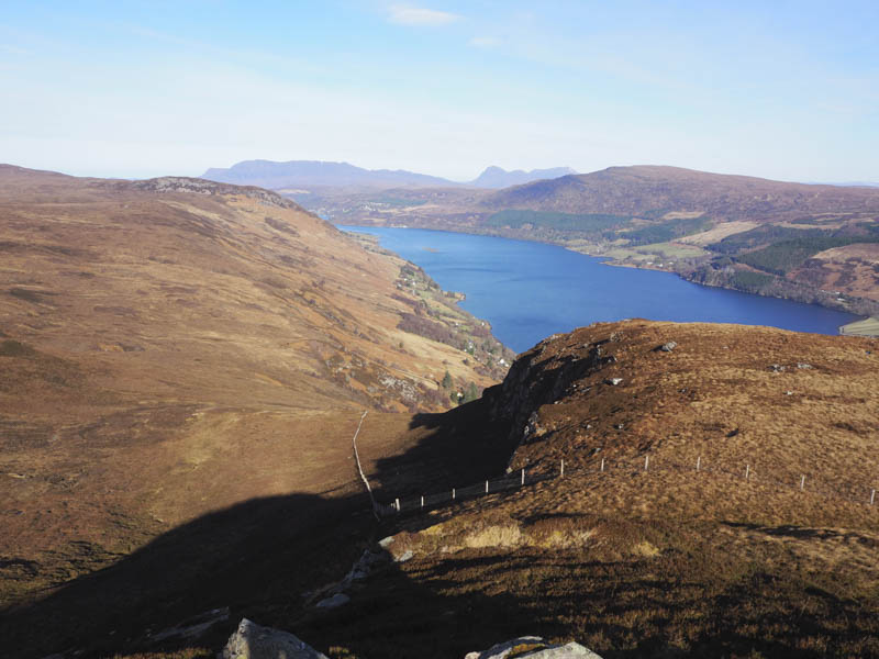
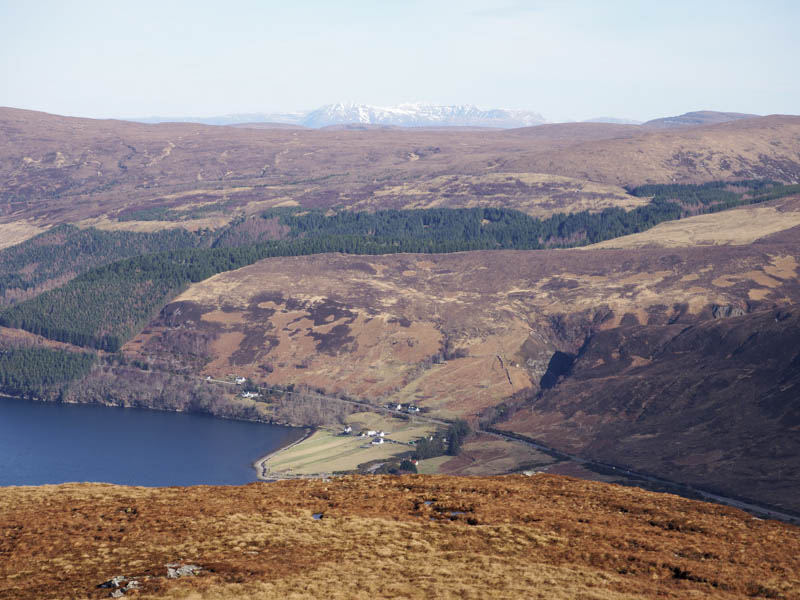
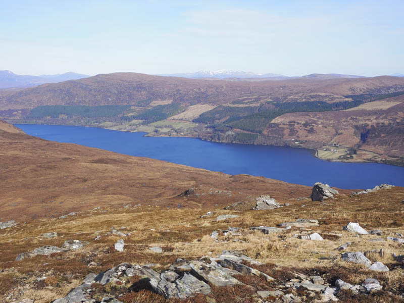
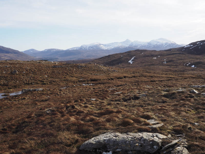
From there I descended the south ridge, crossed the Coffin Road, and climbed south-east above Loch an Tiompain, and numerous undulations, to reach the summit of the Tump, Carn Dearg, marked by a stone on an outcrop.
After another break here I descended east through more rough ground to reach the Coffin Road which was followed back to the start.
- Time taken – 5.75 hours.
- Distance – 14 kilometres.
- Height climbed – 665 metres.