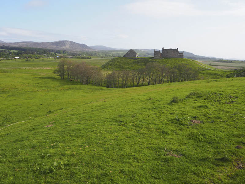
The plan was to start this walk from the car park at Ruthven Barracks but on driving south from Kingussie on the B970 I discovered that the road across the River Spey was closed for repairs although open to pedestrians. I therefore parked beside The Dell, the home of Kingussie Shinty Club, and walked over the bridge and to the Barracks.
Opposite this ruined barracks I entered and crossed a grassy field then headed south-west through a second field of grass to reach a ruined building. Beyond a stock gate I joined and followed an estate track, which was in reasonable condition although there were a few boggy and water filled sections, south through heather and some well spaced young birch trees.
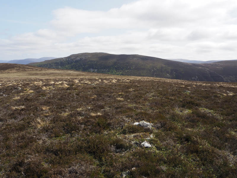
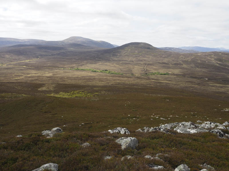
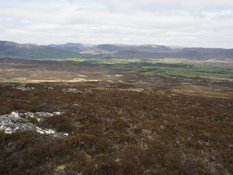
The path passed to the west of Beinn Bhuidhe then later descended into Glen Tromie. Prior to losing height I left this track and walked south-west along the track above Corry Ruthven. It was rougher with more boggy sections and its condition gradually deteriorated until I left it and climbed through heather onto Creag Mhic an t-Saoir. The highest point of this Sub Dodd was just some heather. I also visited the cairn which was a bit to the north.
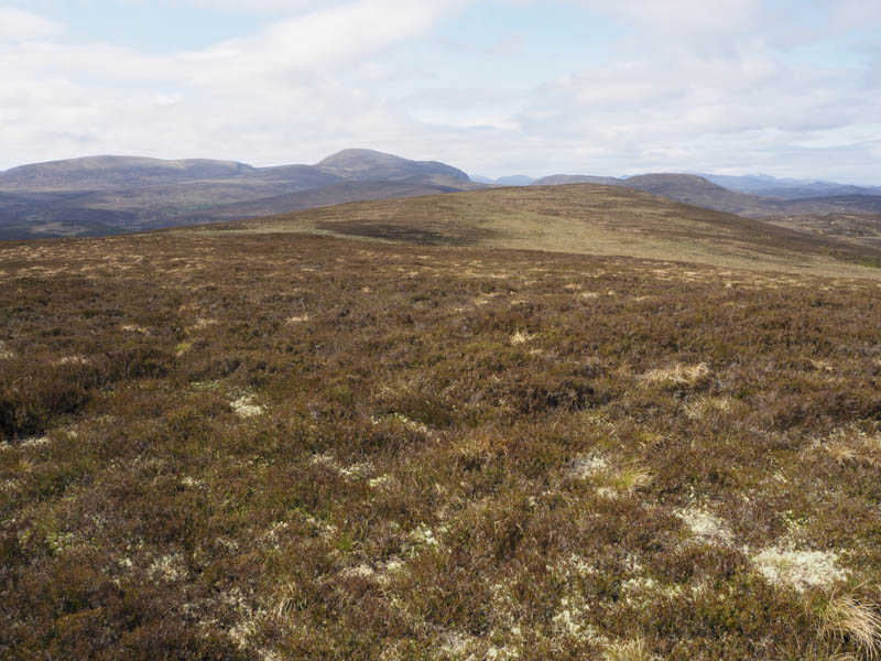
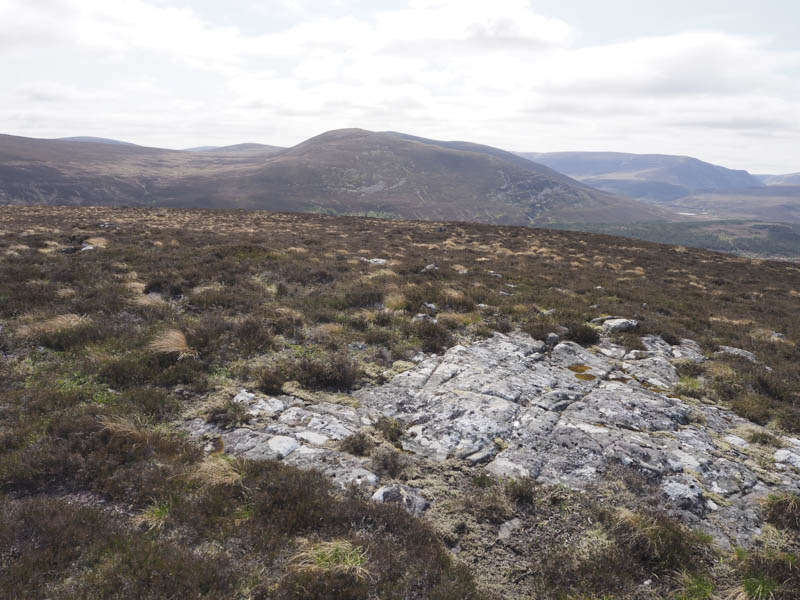
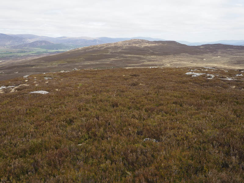
I descended south then south-west through heather, moss and boggy ground to the col with Sron na Gaoithe before ascending this Hump, the highest point marked by a rock pile.
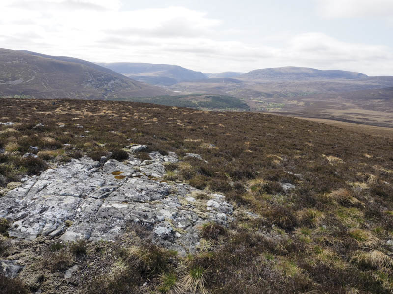
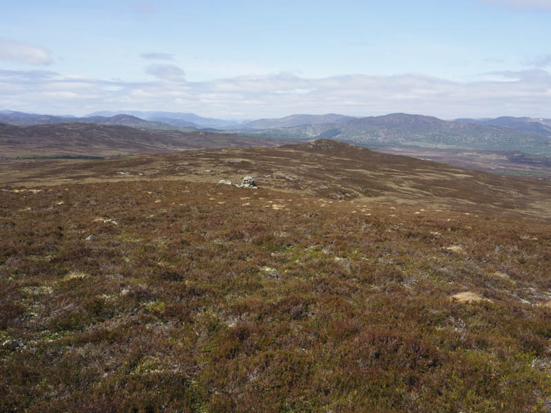
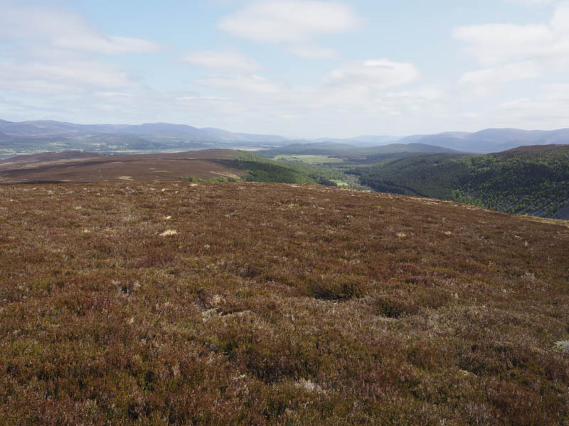
The pathless route continued through similar underfoot conditions as I now headed west and climbed Am Buahaille. The summit of this Tump was marked by a cairn.
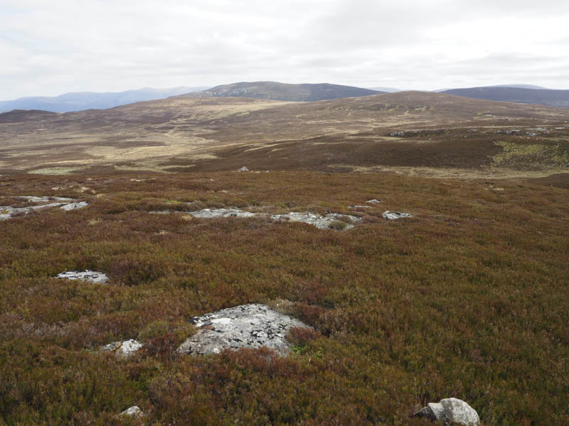
Another change of direction as I descended north through rougher ground, crossed the Allt Coire Phiobaire and climbed the Tump, Creag nam Bodach, the highest point being a rock.
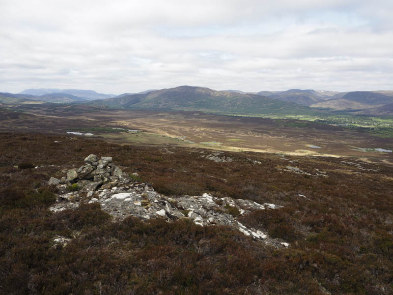
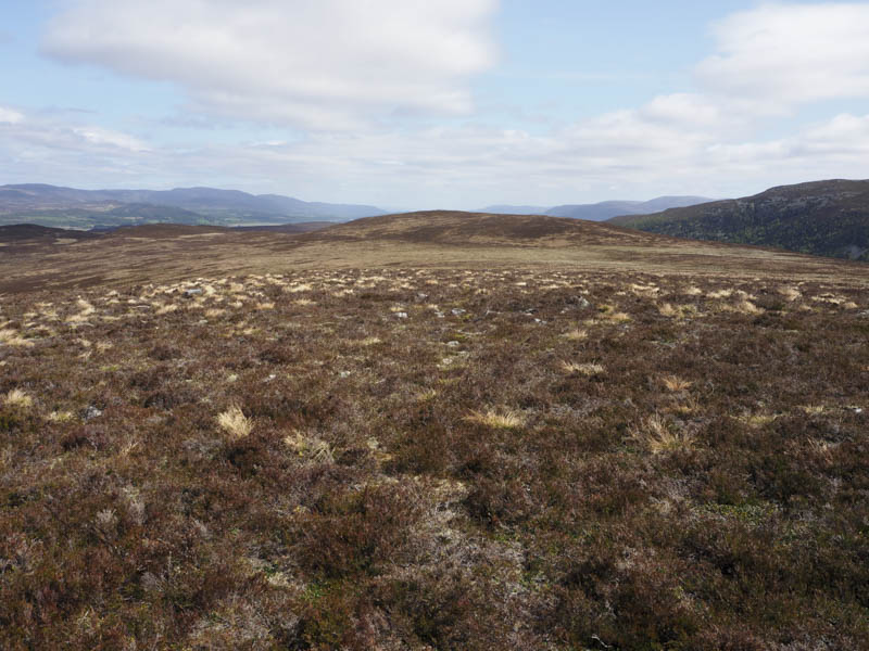
From there I made the short descent east to join an estate track that descended north to the west of Creag Druim Gheallogaidh. Lower down the track reverted to an ATV track and swung round to the north-east then east crossing some wet and boggy ground. This lower section wasn’t what was shown on my map where the track continued its descent to Knappach although I didn’t spot it so maybe this section no longer exists. I later left the ATV track, crossed to the ruin passed earlier in the day, then walked along a farm track, and went through three fields to join the B970 west of the Barracks, a short distance from my car.
- Time taken – 5.5 hours.
- Distance – 17 kilometres.
- Height climbed – 475 metres.