Overnight snow and ice made for a slow drive to the minor road on the west side of Glen Feshie, accessed from the B970 Aviemore to Kingussie Road west of Feshiebridge. North of this road end at Balnascriten I parked at the start of the vehicle track running south-west along the edge of the forest.
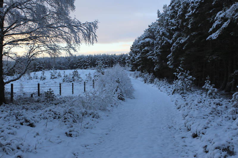
This track was followed for just over 400 metres to a junction of tracks and here I walked round a gate then north-west through the snow covered trees and vehicle track.
Although the track was open there were a number of fallen trees at the sides. I was looking for a path, mountain bike trail, referred to on the hill-bagging web site (https://www.hill-bagging.co.uk/) but it no longer existed due to fallen trees. I continued north for several metres to NH8312900891 and here located a snow covered path heading south-west.
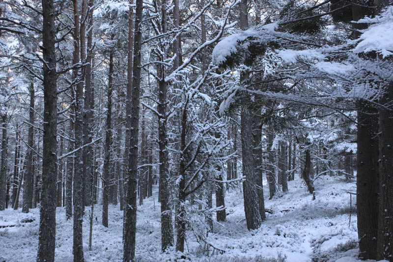
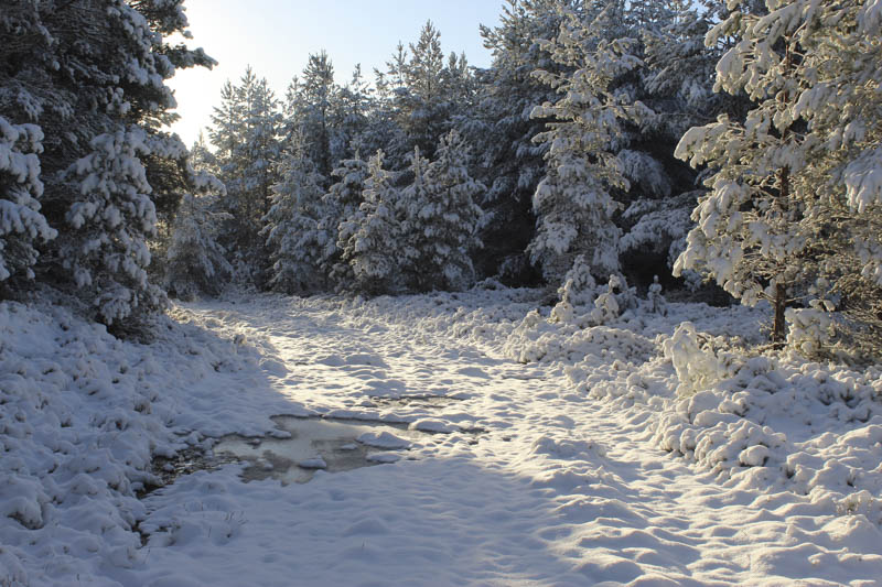
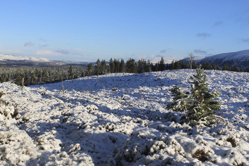
This took me through the trees, the roots were a touch slippery, before crossing the defunct forest track. The path gradually wound its way through the trees later coming to a cleared area where new ones had been planted.
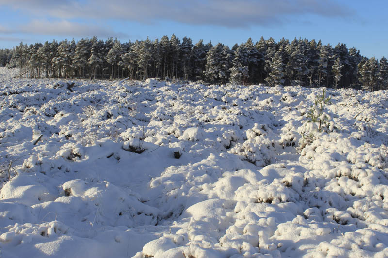
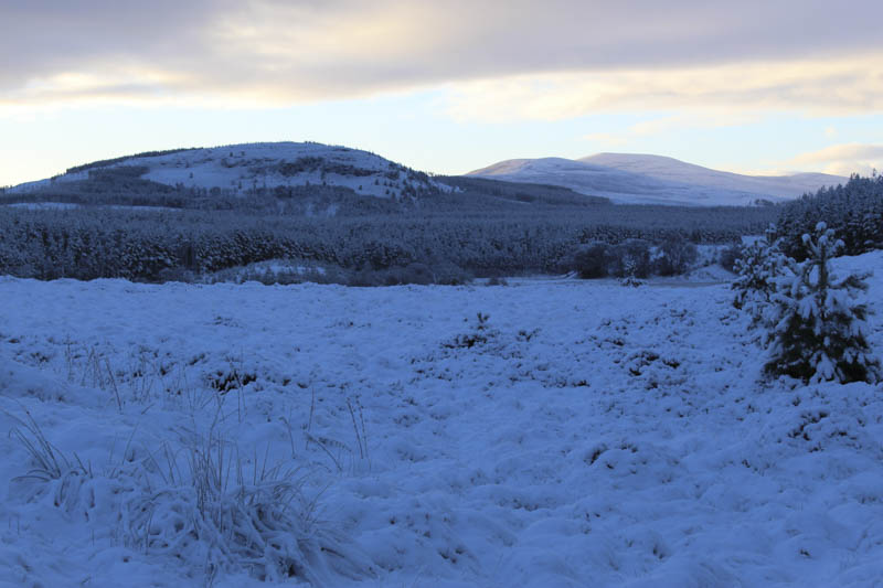
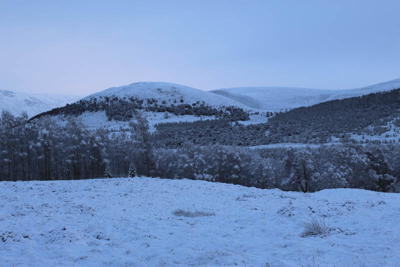
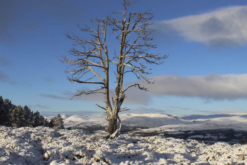
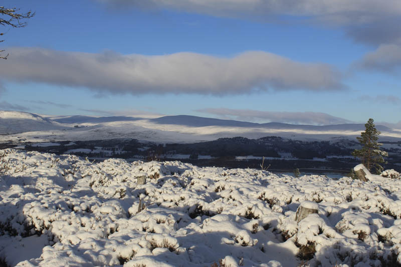
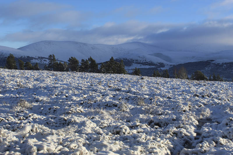
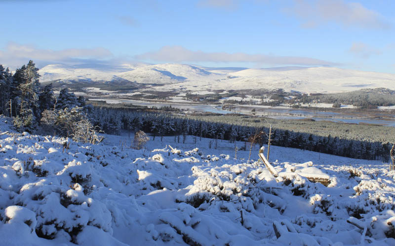
There were good views into Strathspey but the path was narrow as it twisted and turned through the snow covered long heather. A few ice covered boggy sections didn’t hold my weight.
Once through this area It was back into the trees and to the trig point marking the summit of the Tump, Creag Dubh.
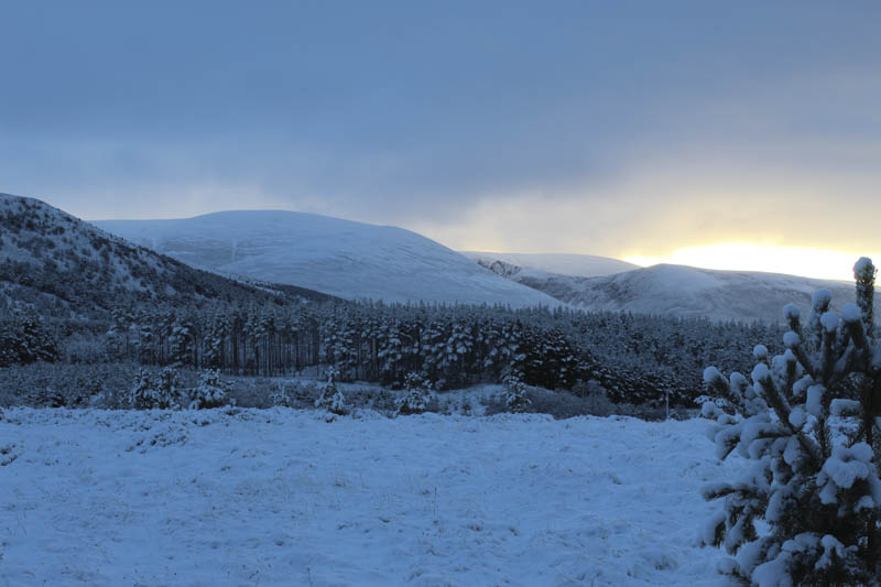
I had a look at the track coming up from Uath Lochan which appeared a bit easier before returning by the ascent route.
- Time taken – 2 hours 45 minutes.
- Distance – 7.5 kilometres.
- Height climbed – 220 metres.