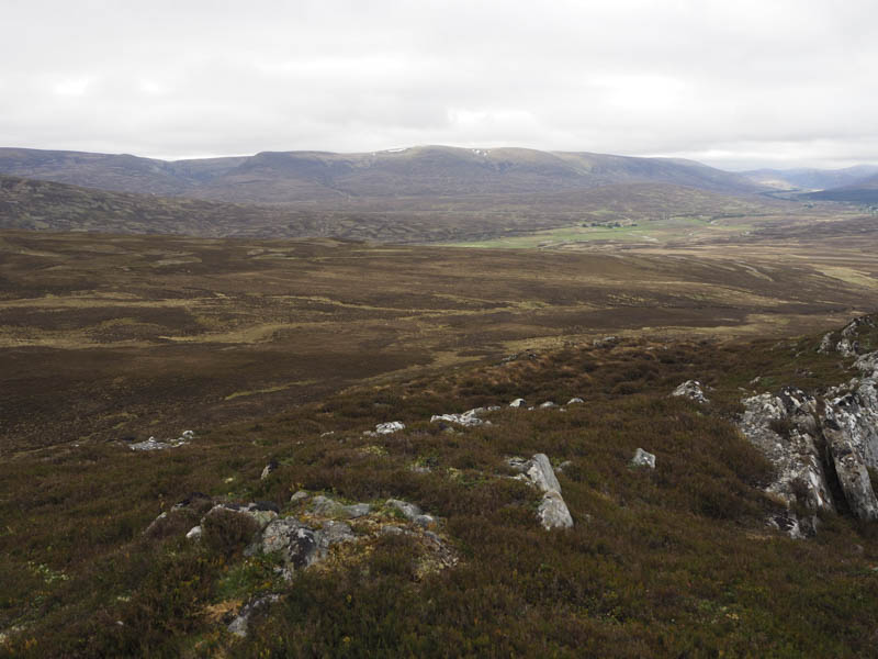
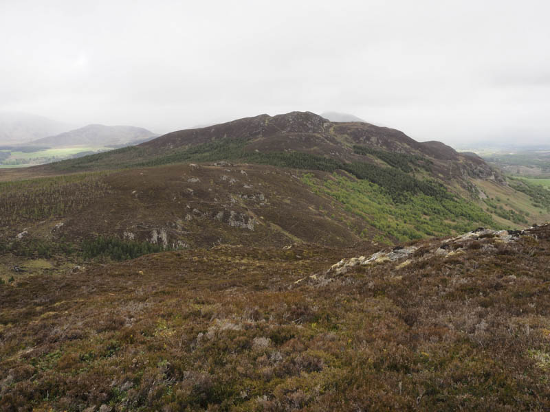
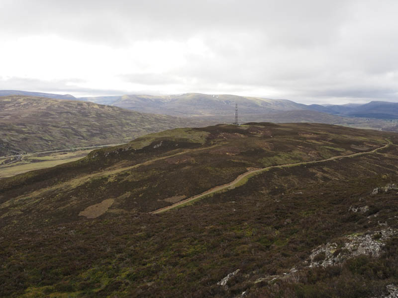
Meall Crubenmore, Meall Ruigh nam Biorag East Top, Meall Ruigh nam Biorag, Meallach Chaitrine, Creag na Sanais, Cruban Mor and Am Binnein – I left my car on the west verge, north of Crubenmore Lodge, on the minor Crubenbeg to Dalwhinnie Road which runs parallel with the A9 Perth to Inverness Road, but on the opposite side of the River Truim. I made the short walk to the Lodge then up the vehicle track on its north side and south of what was possibly the Keeper’s House to a stock gate. Beyond, an estate track headed west gradually turning south-west to below Meall Crubenmore. Here I left the track and walked through heather, some burnt, to the communications tower and the summit of this Tump. The highest point and the alternative highest point 120 metres to the south-west both consisted of just some heather.
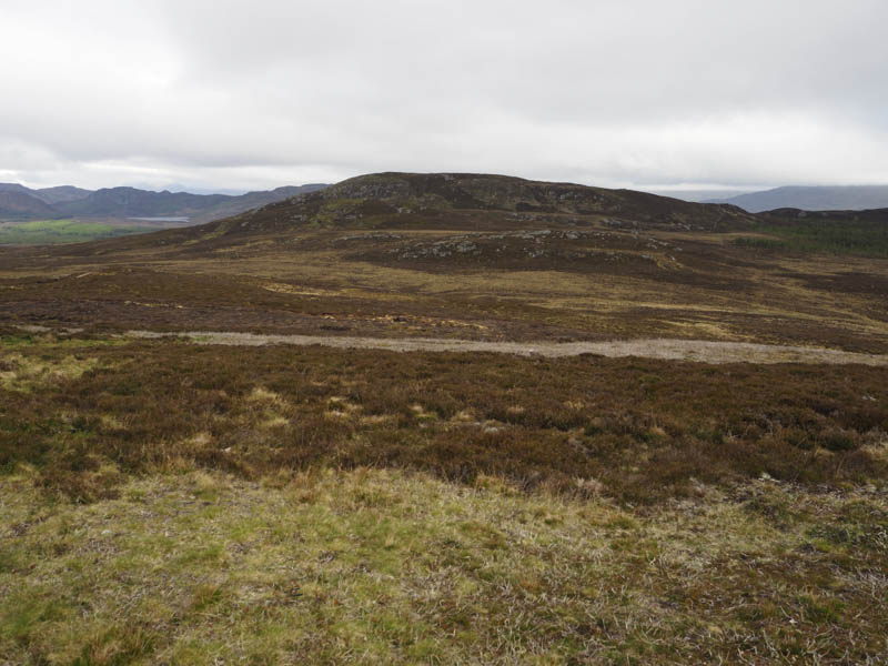
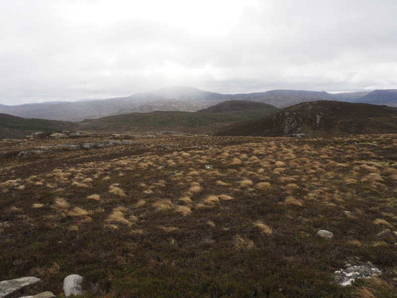
I descended west on the comms track, crossed the track used earlier, then went through some swampy ground as I continued west and climbed Meall Ruigh nam Biorag East Top. The highest point of this Sub Dodd appeared to be an outcrop.
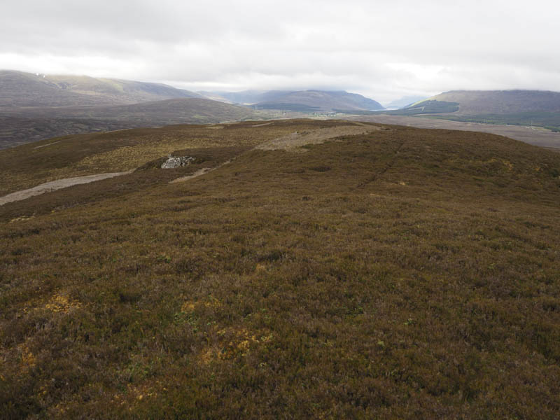
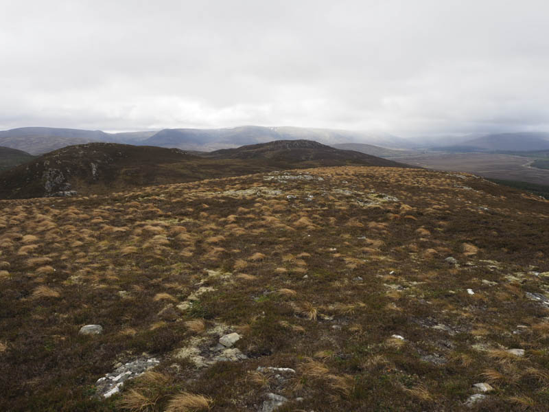
From there I descended west and climbed fairly steeply, avoiding the crags, onto Meall Ruigh nam Biorag. The highest point of this Tump was a rib of rock south of the cairn.
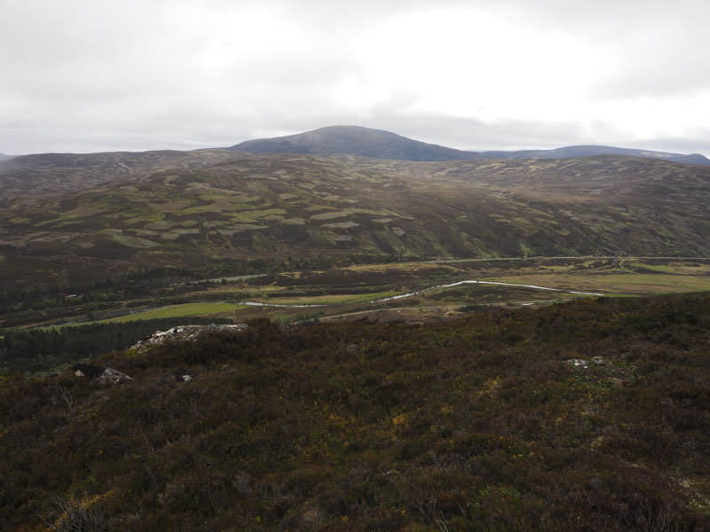
The descent north took me to a deer fence, a bit shoogly, but once across it I was into well spaced stunted fir trees. Thereafter I climbed the Tump, Meallach Chaitrine, its summit marked by an embedded rock.
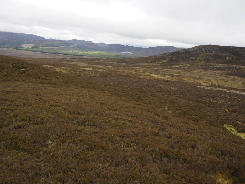
I continued north then climbed north-west to a deer fence which I initially followed but when it changed direction I crossed the fence and climbed to the summit of the Tump, Creag na Sanais. The highest point was marked by a cairn.
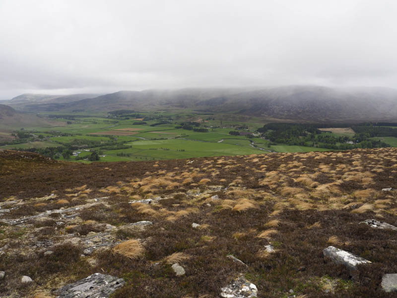
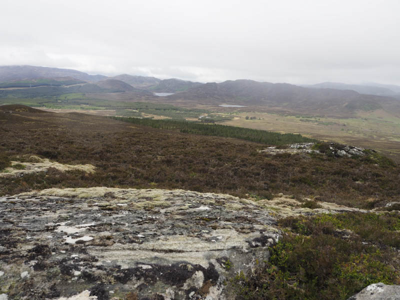
The descent south-east took me back to the deer fence which I again followed but this time in a south easterly direction as a few gaps appeared in the fence. At a fence corner there was a large gap, obviously used by deer, so I went through it, crossed some wet ground and between more well spaced stunted fir trees to reach the summit of the Sub Dodd, Cruban Mor, which appeared to be some heather.
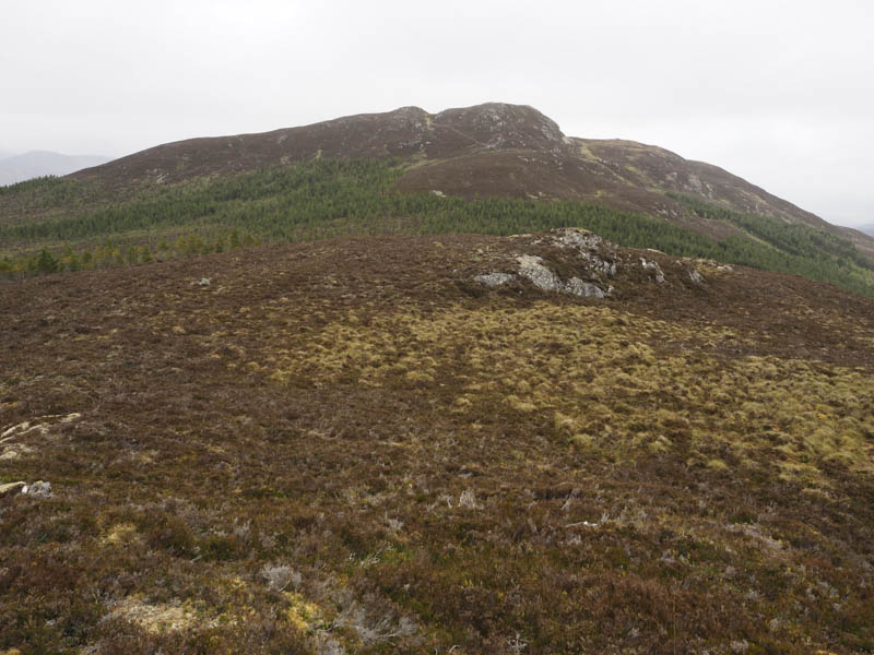
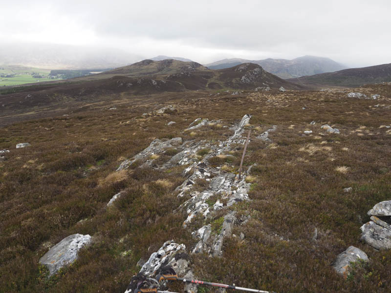
I descended south-west through the trees then some heather before climbing steeply onto Am Binnein. The highest point of this Tump was a rock a few metres south of the cairn.
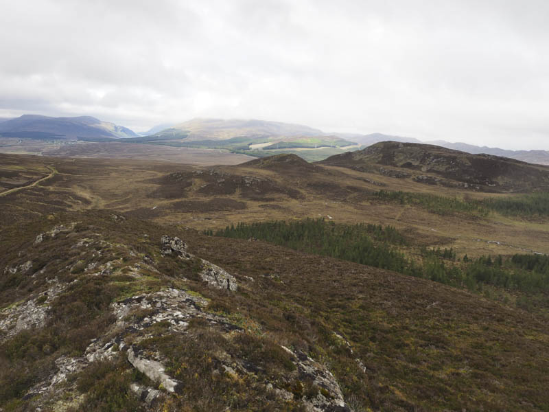
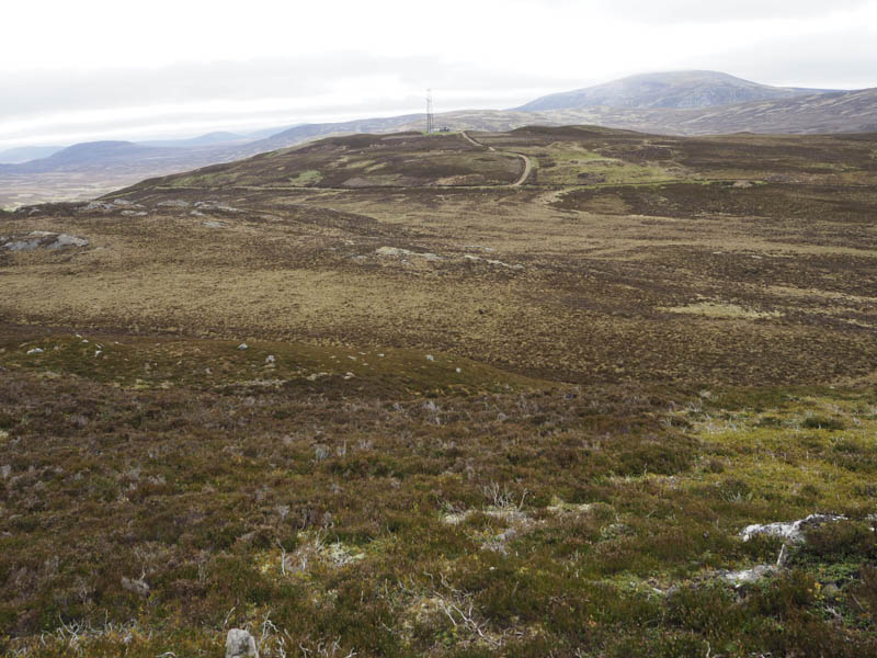
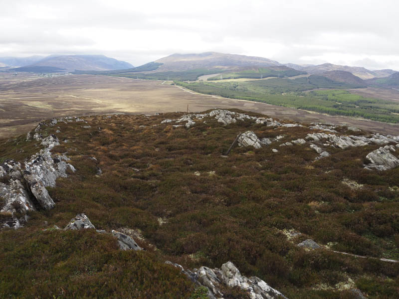
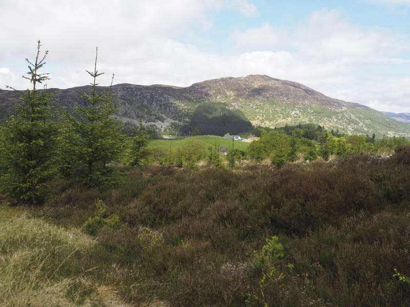
The route south-west took me along a rib of rock then some heather before the gradient increased and I turned east to reach another deer fence. Once over it I rejoined the track used earlier in the day and followed it back to the start.
Torr Neasan-tulaich – I parked at the start of the forest track west of Mains of Glentruim and accessed along the minor road on the south side of the River Spey linking the A9 to the A889. There was a large boulder here which according to the information board marked the Centre of Scotland.
I walked south along the forest track and on reaching a junction headed east. I later left this track and walked through long heather and grass plus well spaced mature trees to the obvious knoll marking the summit of the Tump, Torr Neasan-tulaich. The return was by the approach route.
- Total time – 4.25 hours.
- Total distance – 11 kilometres.
- Total height climbed – 550 metres.