Carn na Cloiche and Sgor Gaoithe – I left my car on the north side of the A939 Grantown on Spey to Tomintoul Road beside the bridge over the Allt Mor east of Dirdhu, passed through a stock gate and walked north then east along a vehicle track gradually gaining height.
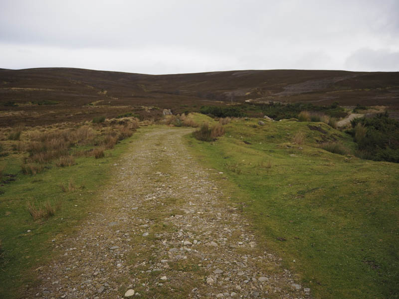
At grid ref NJ090209 I left this track and walked up the edge of a peaty ATV track with a stony section higher up before its condition deteriorated.
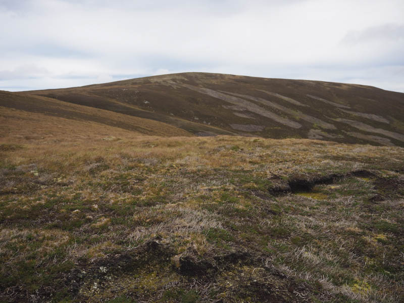
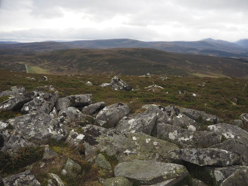
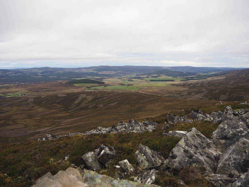
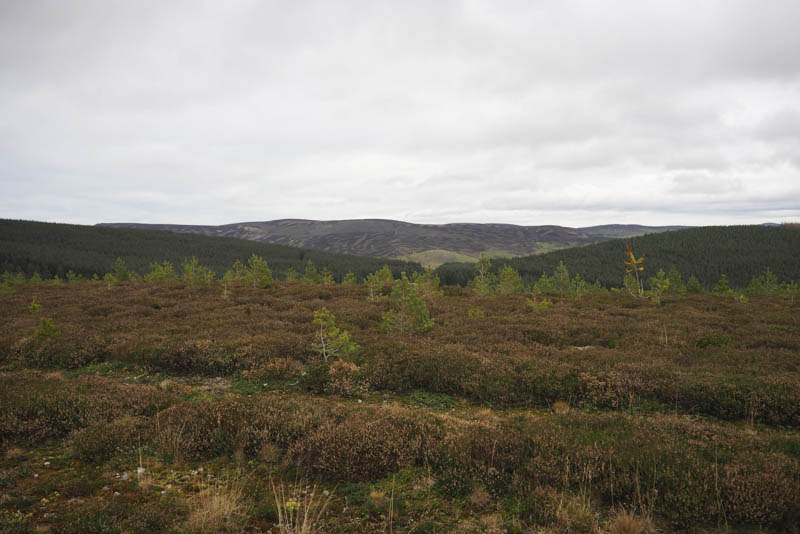
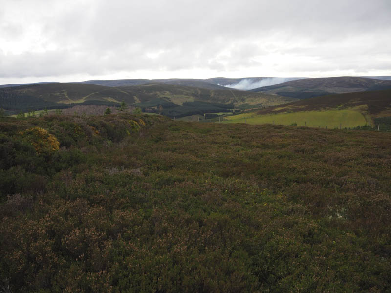
To obtain a bit of shelter from the wind I cut across the vegetated hillside to the peat hags and boggy ATV track at the col between Carn na Cloiche and Sgor Gaoithe. I walked up this track which improved higher up and where it was again windy. The summit of Carn na Cloiche was reached but it was difficult to locate the highest point of this Sub Simm.
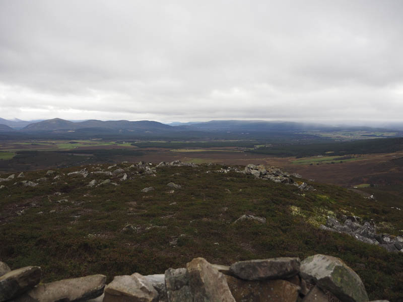
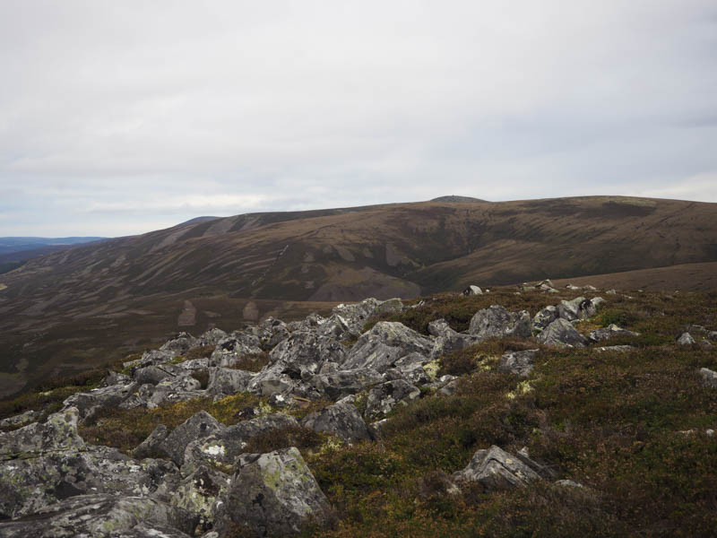
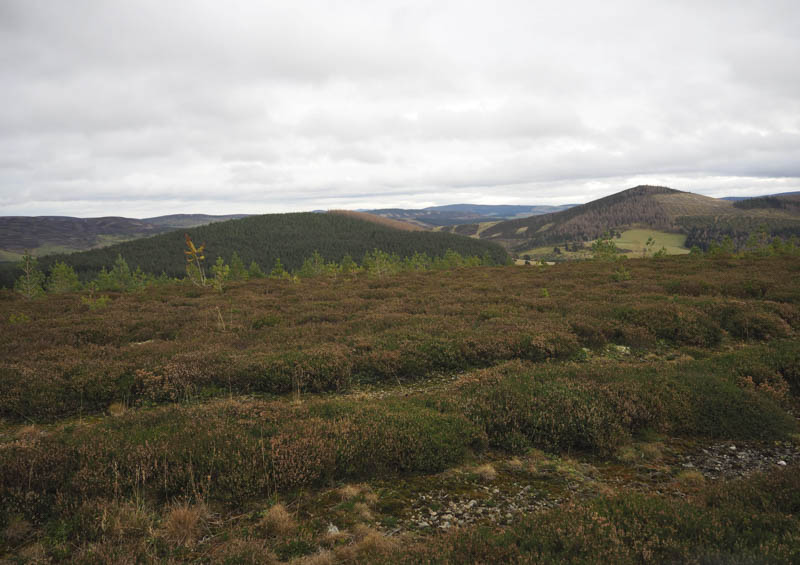
I returned to the col and walked west towards Sgor Gaoithe. The area was a quagmire and an ugly scar on the hillside with new tracks at the side of the original ATV track which was boggy and filled with peaty water. It was head into the wind as I ascended the Sub Simm where the highpoint appeared to be a clump of heather. A cairn slightly further west had better views with a stone shelter where I took a break from the wind.
Afterwards I returned to the highpoint then made a direct descent through heather of various lengths, including some muirburning and boulders back to my car.
Mid Hill and Hill of Cummerton – I parked on the verge of the access road to Auld Cummerton House, just off the minor road north of the A944 at Bellabeg, Strathdon, beside a sign ‘Viewpoint 1380 metres’. I don’t know where this viewpoint was located although it may have been Mid Hill but there was no other signage and the views from here will soon be restricted by young trees.
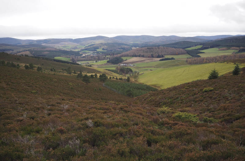
I walked up the road passed the entrance to Auld Cummerton House and to a metal gate in the deer fence. Beyond, the track was muddy and split, one led to a stock gate but I took the other which was wet and muddy and passed a ruined building at Coul of Ledmacay to enter the field on the north side of Burn of Coul. I walked up the edge of this field, skirted a small plantation, then through long heather to reach a stock fence.
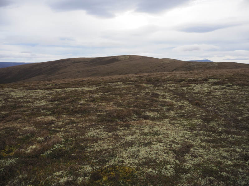
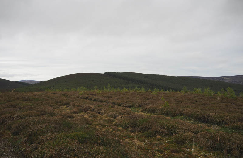
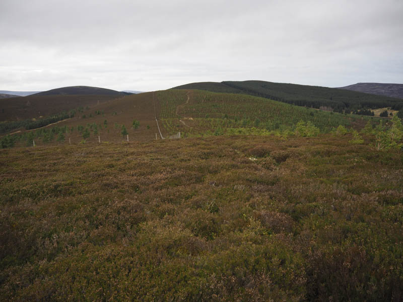
Once over it a vegetated vehicle track ran through a young plantation to the highpoint of the Sub Dodd, Mid Hill, which was ground beside the track.
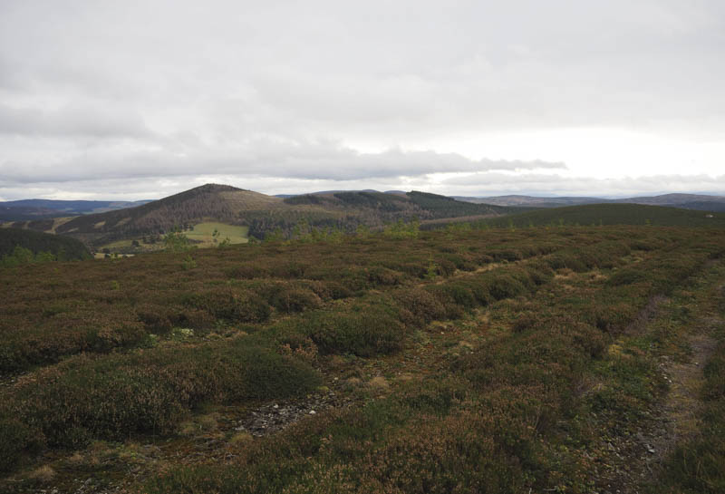
I continued south on this track through the trees to the col with Hill of Cummerton and along the track as it gained some height. I soon left it and walked through the heather and young trees to the summit of this Sub Dodd which appeared to be a heather dyke.
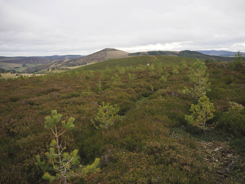
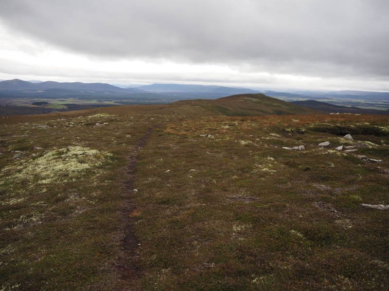
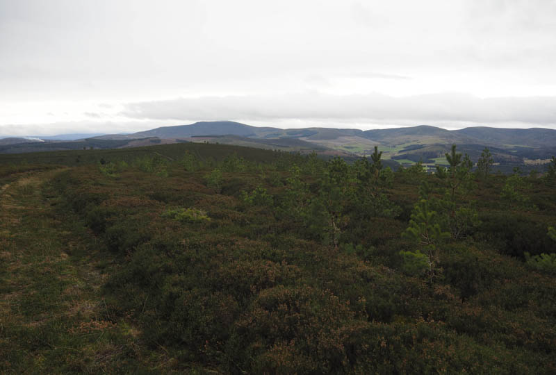
After sheltering behind the heather for lunch I returned to the col with Mid Hill, went through a stock gate and descended via a vehicle track. Low down there were various tracks including animal trails as I headed for the stock gate near the ruin at Coul of Ledmacay. Once passed it the outward route was followed back to the start.
- Total time taken – 3.5 hours.
- Total distance – 10.5 kilometres.
- Total height climbed – 585 metres.