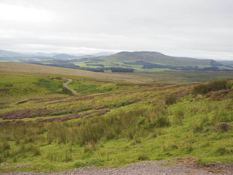
I left my car on some rough ground south-west of West Linton and its Golf Clubhouse at Right of Way signs, one which stated Dolphinton 4miles and Mendick Hill 2 miles. This route followed a vehicle track to a bridge over the West Water before continuing on what was the course of an old Roman Road passing the house at Hardgatehead.
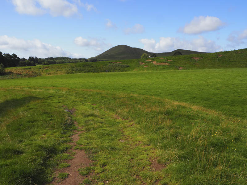
A further 450 metres led to the edge of some trees and the signed route for Mendick Hill.
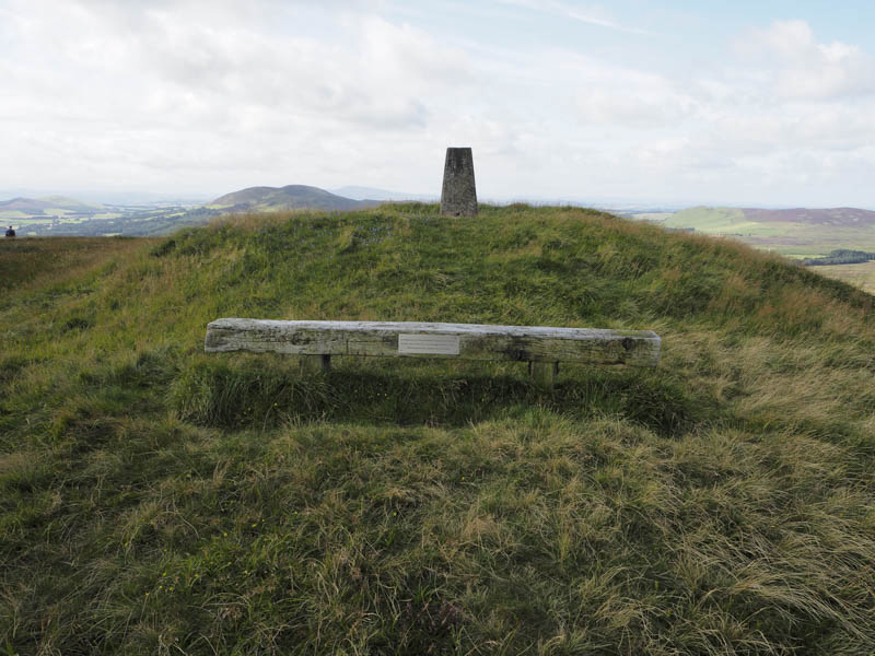
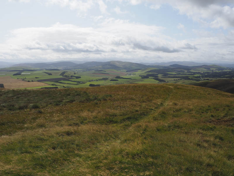
The path through the grass and later bracken was a bit overgrown but the route was visible. The gradient later increased and it was a steady climb onto the south ridge of the Marilyn, Mendick Hill, a short distance from the summit trig point. Here there was a bench so despite the breeze I sat there for a while taking in the views.
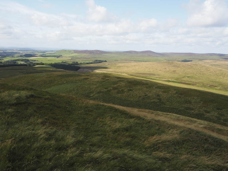
Thereafter I descended north-west through some rough vegetation towards Upper Cairn where I crossed a vehicle track and located a second one that I had spotted earlier which led to the summit of the Tump, North Muir.
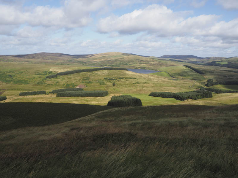
The descent north off North Muir was pretty awful due to sinking into the soft mossy vegetation so it took a while to reach the low point where there was a fence to cross. Once over it I climbed through some rushes to reach a vehicle track running east to west. I briefly followed it west then along a track that climbed north then north-west and led to the summit of the Tump, Catstone.
The vehicle track continued north with a dip where there was a shooter’s hut then turned east towards King Seat before heading onto Fadden. At this point I left it and walked along a now unused boggy vehicle track which descended east and later disappeared amongst some rough vegetation, including bracken. I crossed a stream, stone dyke and fence to gain the hillside where cattle were grazing. Fortunately they were far enough away as I followed a fence to reach the summit of the Tump King Seat.
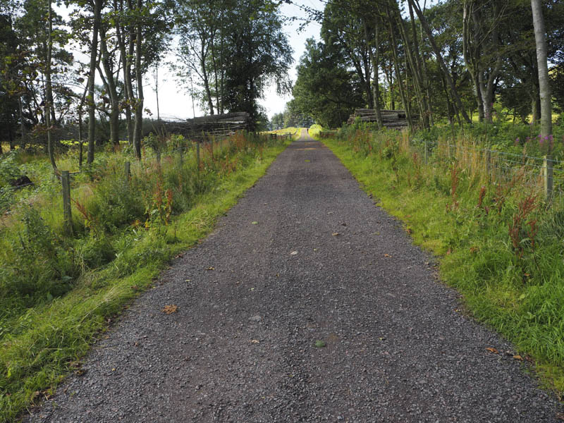
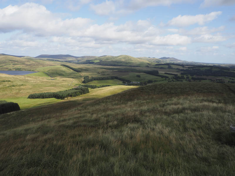
The descent south-east took me to the dam at West Water Reservoir then onto tarred roads.
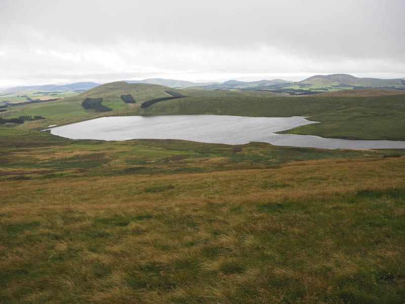
These led passed North Slipperfield where several houses were under construction then through the golf course back to the start.
- Time taken – 5 hours.
- Distance – 16 kilometres.
- Height climbed – 615 metres.