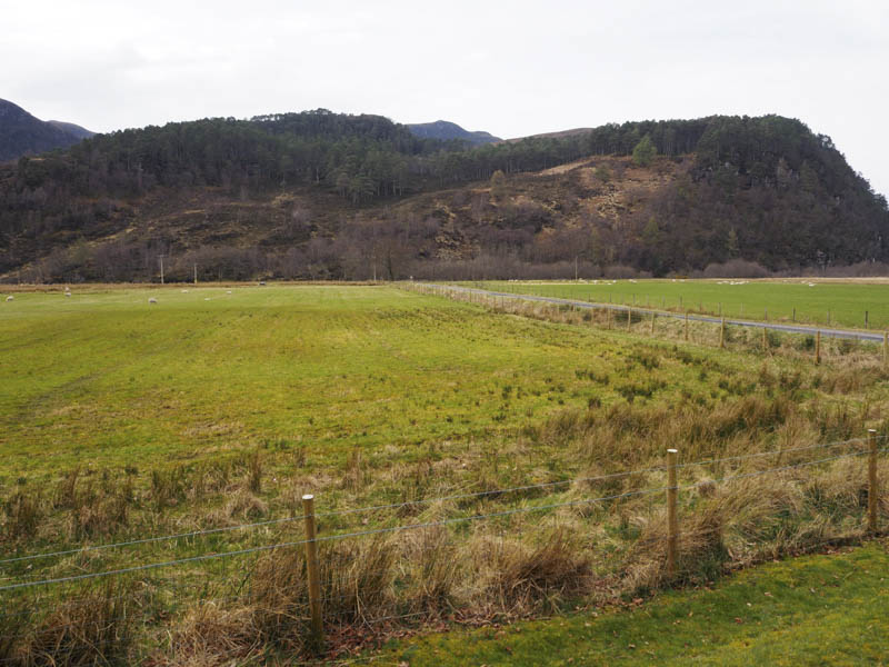
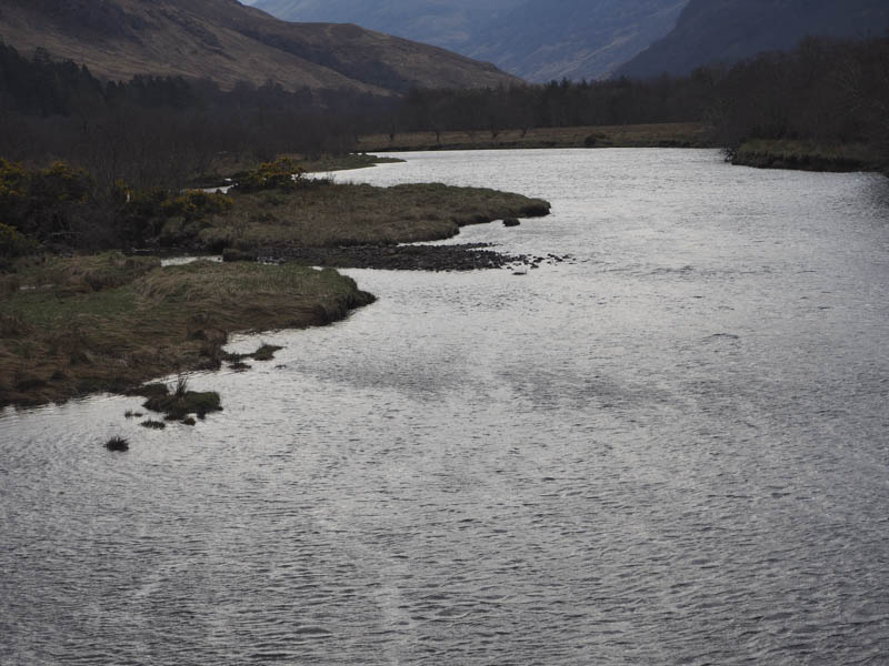
I left my vehicle in the car park at the start of the private road to Killilan, reached along the north shore of Loch Long from the A87 Dornie to Kyle of Lochalsh Road, and used by those heading up Glen Elchaig. Instead of going to Killilan I walked along the Camas-luinie Road and crossed the bridge over the River Elchaig.
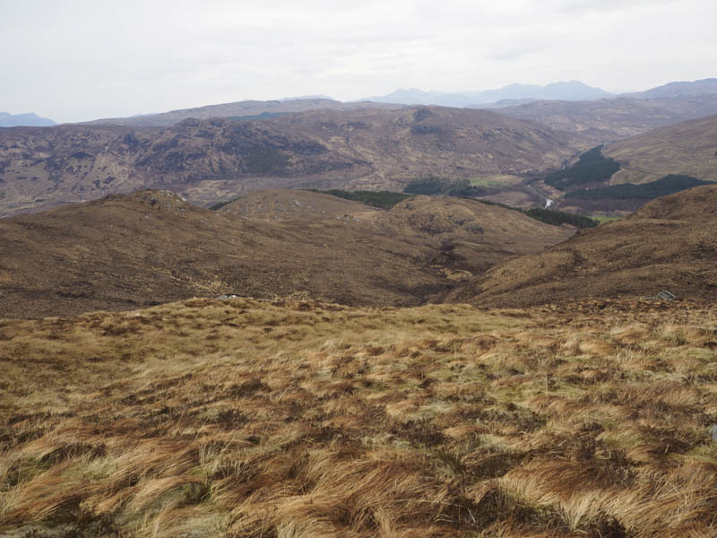
Immediately beyond the bridge I crossed a small gate and walked west along the side of a stock fence on a wet and boggy deer track, through well spaced pine trees. The track left the fence line and gradually gained height crossing some wet rock and onto the col between Creag a’ Chaisil and its East Top. It was a steep climb through heather and rock onto the Tump, Creag a’ Chaisil East Top, where I took shelter from the wind.
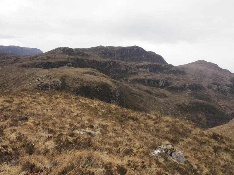
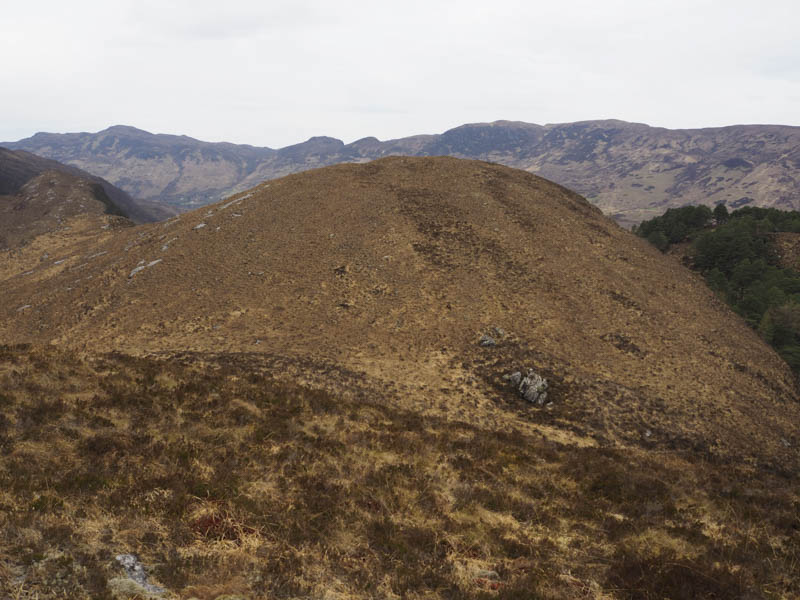
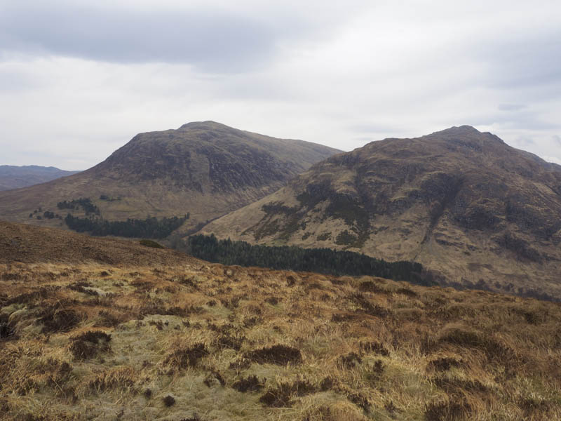
Thereafter I returned to the col and made the easy ascent of the Tump, Creag a’ Chaisil. I had planned, due to the forecasted windy conditions, to head back to my car and climb hills to the north of Loch Long but the wind wasn’t that strong so while on the East Top I had decided to include another Tump in this area. If I had made that decision earlier I would have reversed these ascents.
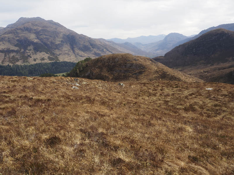
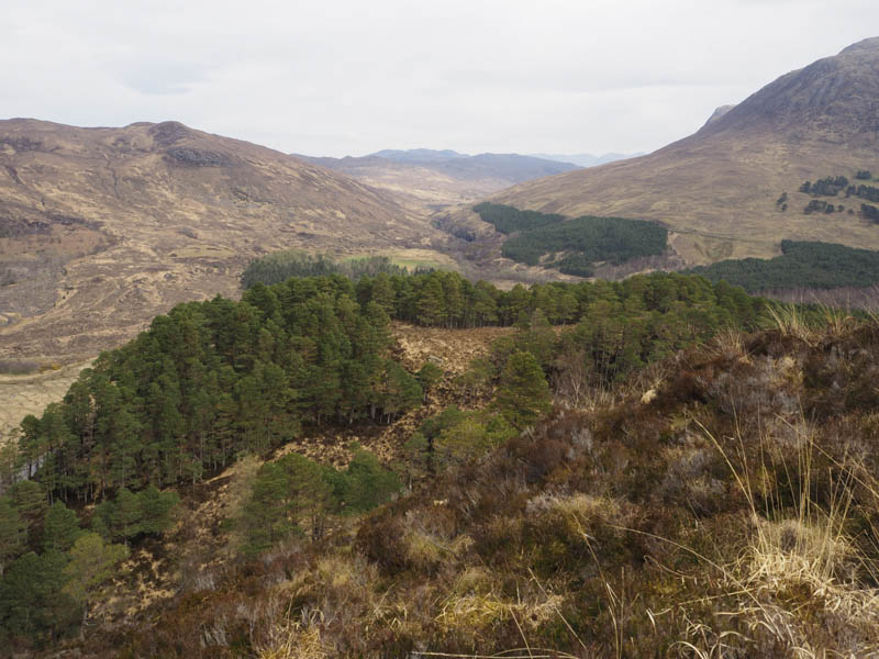
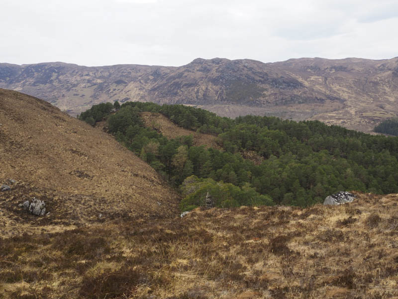
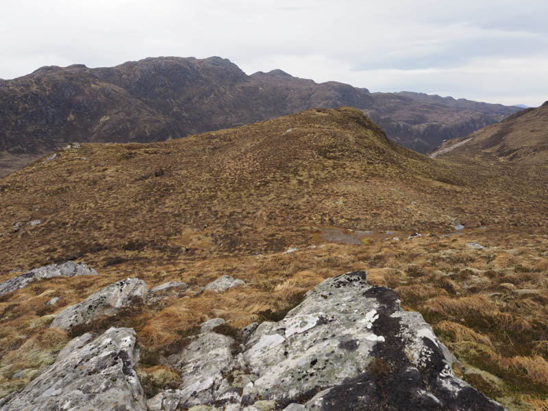
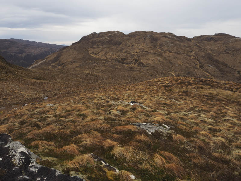
So it was back to the col then round below the south side of Creag a’ Chaisil East Top and to a deer fence. Once over it I walked through Glac’ Tollaidh and its new mixed woodland with lots of holes making for awkward walking. There were fewer then no trees as I climbed onto the north ridge of Beinn a’ Mheadhoin Far East Top. I walked south then south-west through soft mossy ground, heather and dead grass crossing a couple of knolls to reach the summit of the Tump, Beinn a’ Mheadhoin Far East Top, although hard to tell if it was higher than the previous knoll I crossed.
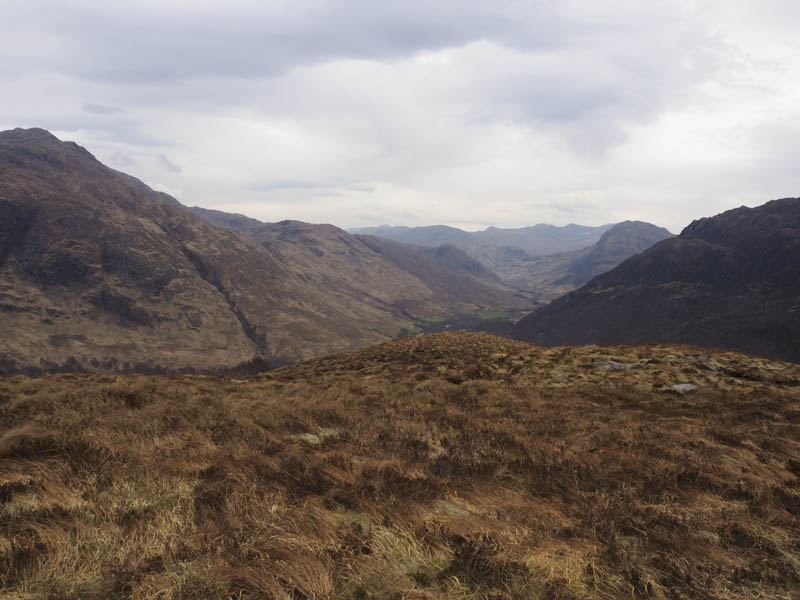
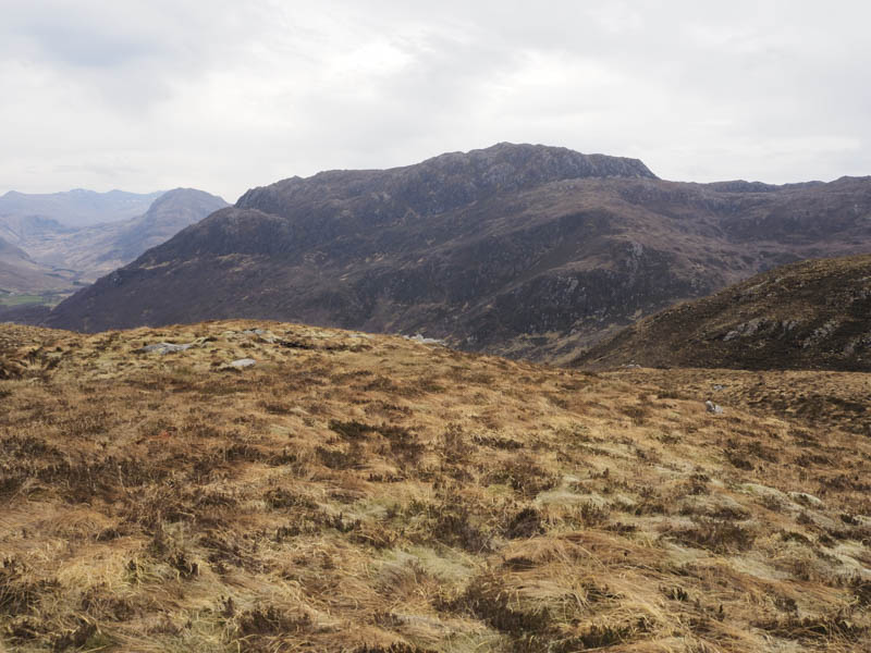
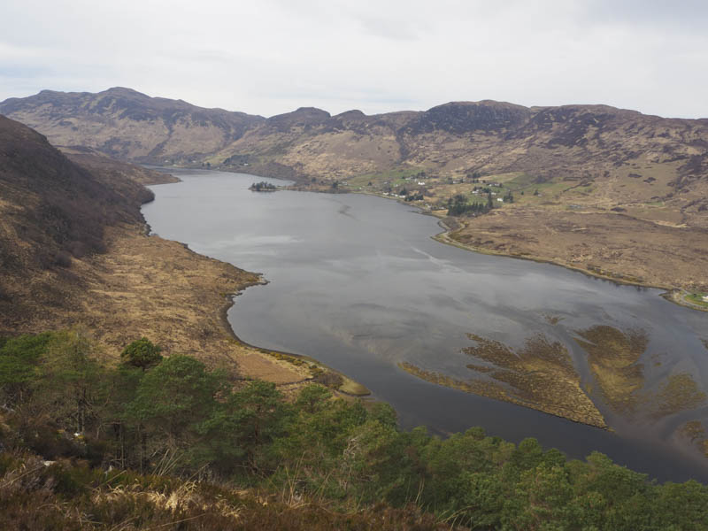
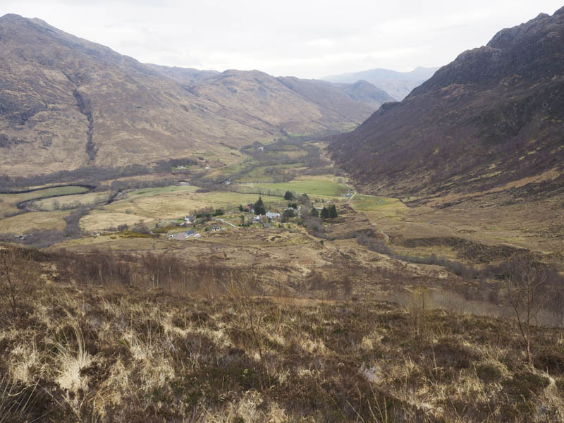
A descent south-east took me to a deer fence which I followed before joining the Bundalloch to Camas-luinie path just east of Bealach a’ Ghleannain. I looked for the path going north-east by-passing Camas-luinie but there was no trace of it, possibly it no longer exists, so I descended via what appeared to be a rough path to Camas-luinie. It was then a 2K road walk back to the car park.
- Time taken – 4.5 hours.
- Distance – 8.5 kilometres.
- Height climbed – 455 metres.