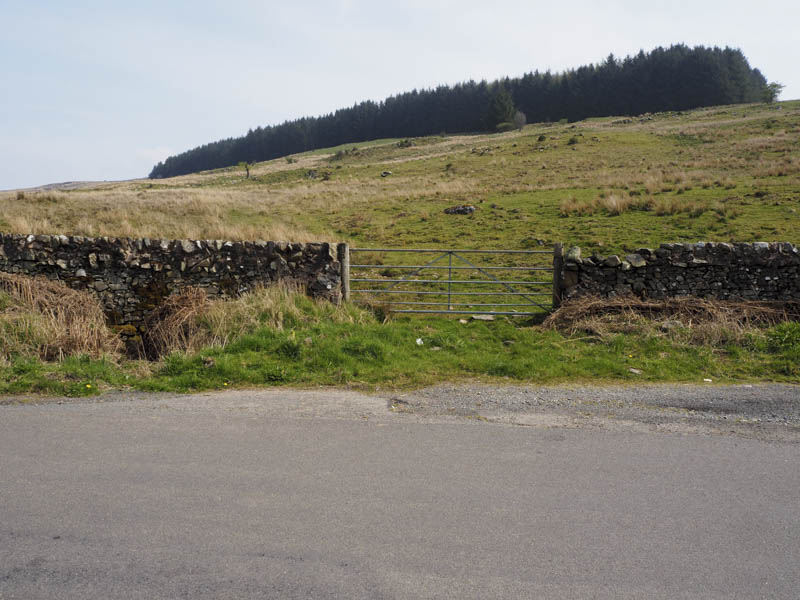
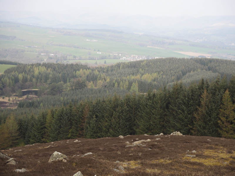
En-route to Galloway I stopped off to climb Wauk Hill from the A702 west of Thornhill. After crossing the Shinnel Water, south-west of Penpont, I looked for a suitable location to ascend this Marilyn but cattle on the adjacent fields forced me to continue along the road to a series of bends where I parked at the side of the road. (Grid Ref. NX823905)
I passed through a stock gate and commenced the ascent of Wauk Hill north-east across some rough grazing to the edge of a copse of trees far enough away from the cattle I had seen earlier.
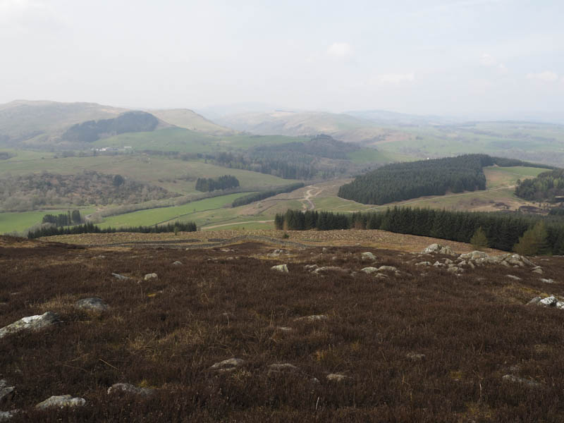
I crossed a barbed wire fence and entered another field where I spotted more cattle but with a slight diversion managed avoid them before crossing a couple of stone dykes.
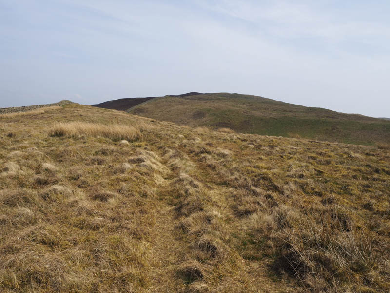
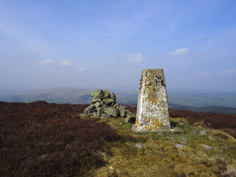
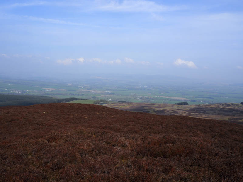
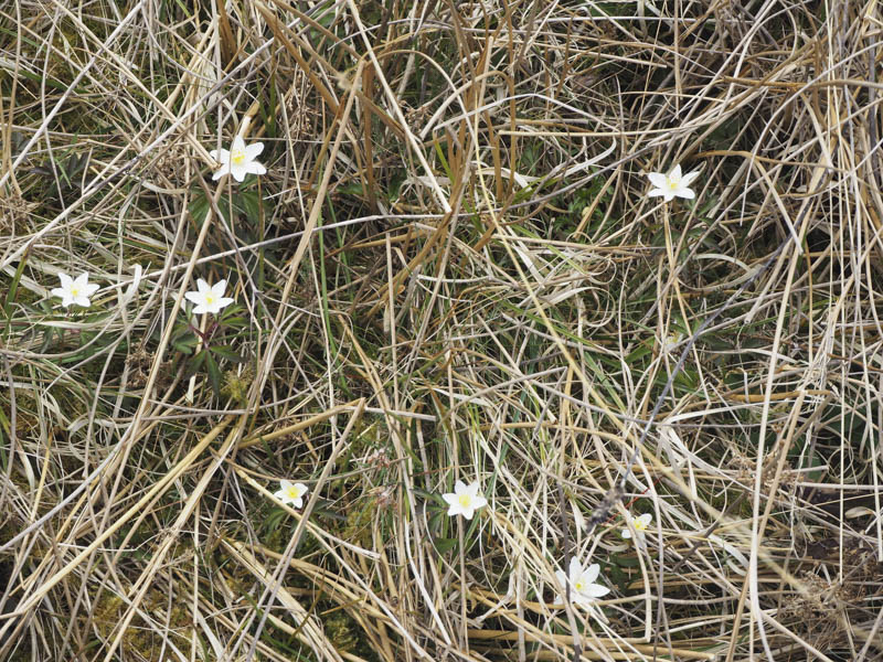
After the second dyke it was a short walk through heather to the trig point marking the summit of Wauk Hill.
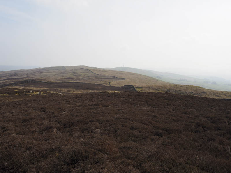
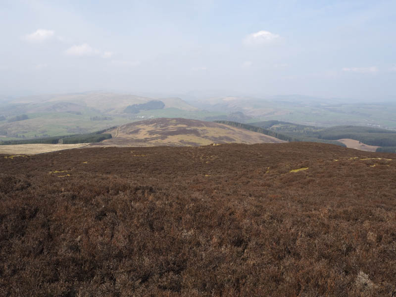
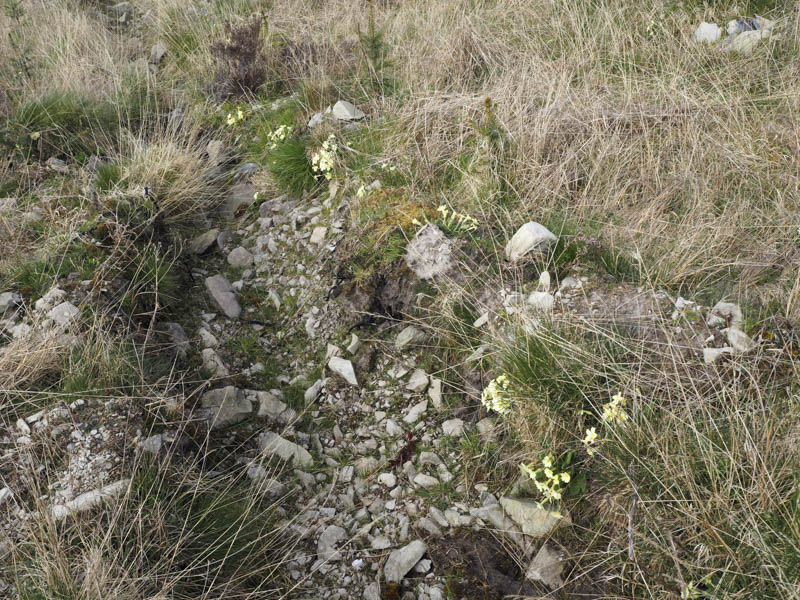
Barr Hill wasn’t in my plan but it looked a reasonable hill and not too far out of the way so I descended north-west through more heather then some rough vegetation including tussocks to reach a stone dyke. Once over it I followed sheep trails to the summit of this Tump marked by a cairn.
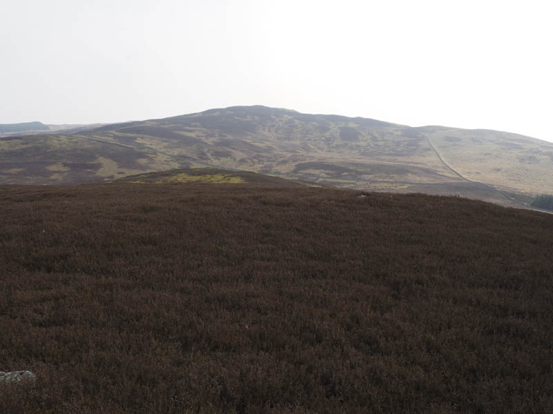
I returned down the south-west ridge to a junction of stone dykes. Once over the dyke the intention was to wander across Clone Moor and head back to the barbed wire fence crossed earlier to avoid the cattle. Unfortunately the moor consisted of drainage channels every few feet and trees had recently been planted there making for slow progress. At the far end, a stone dyke was crossed and the barbed wire fence reached then it was back to my car.
- Time taken – 2 hours.
- Distance – 5.5 kilometres.
- Height climbed – 275 metres.