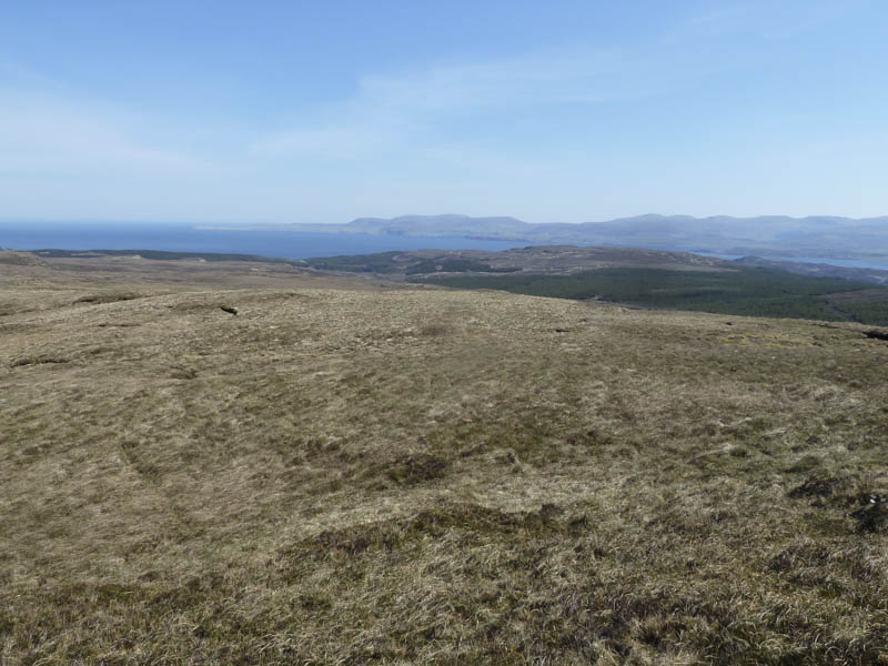
Ben Geary: While staying on the Isle of Skye I headed for the Waternish Peninsula and to the minor single track Hallin to Geary Road where just east of Knockbreck School, and beside a stile, I managed to get my car partially off the road.
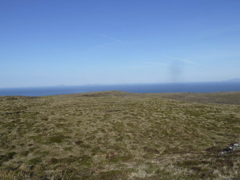
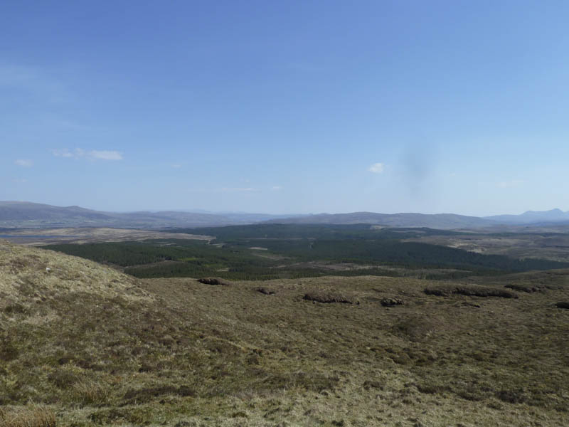
I crossed this stile then followed a vehicle track north towards the communications tower.
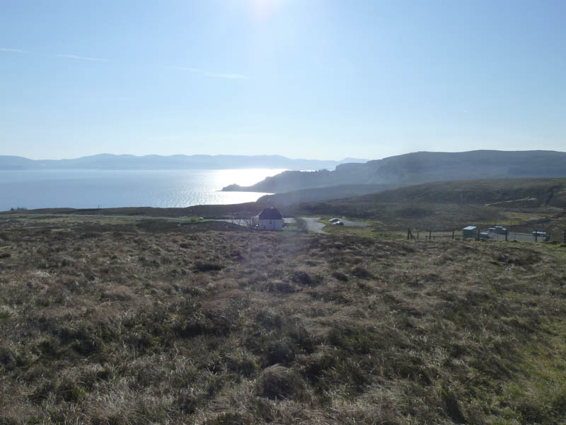
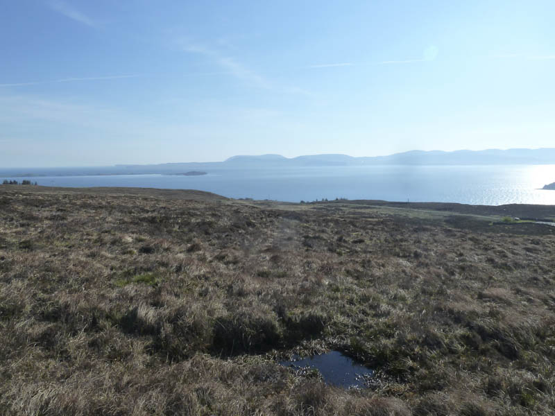
Initially the track was obvious but there was a section where it disappeared amongst some wet and boggy ground.
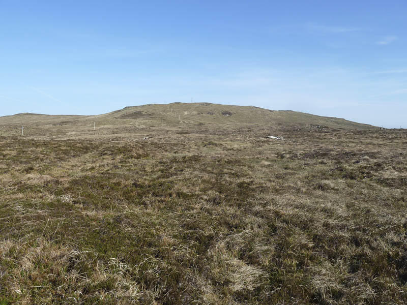
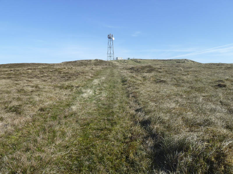
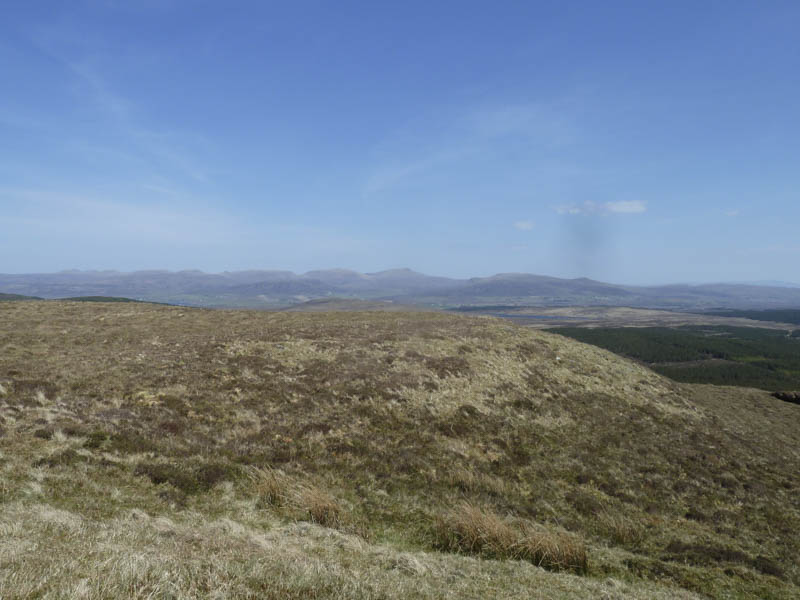
The communication tower was reached then behind it the trig point marking the summit of the Marilyn, Ben Geary.
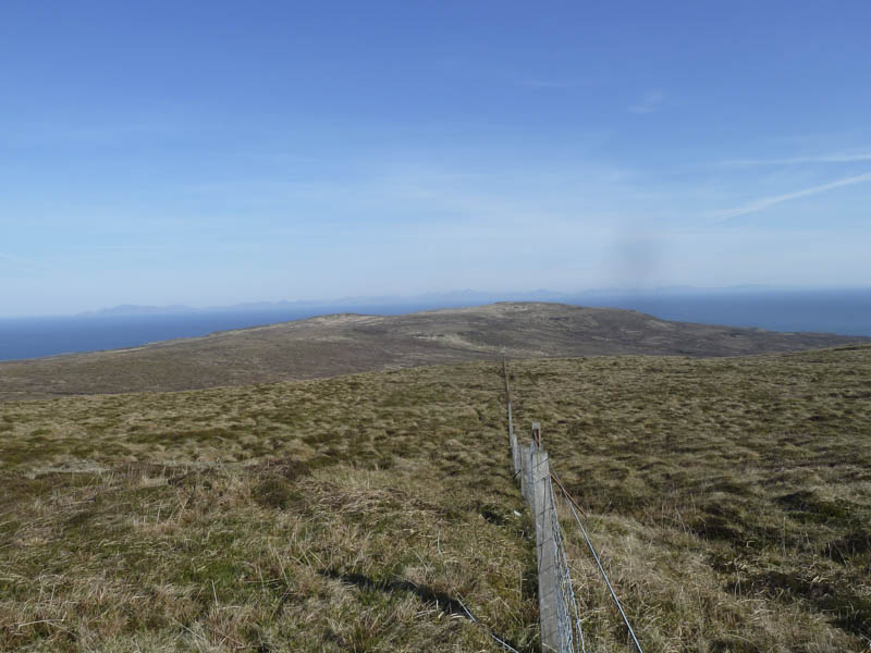
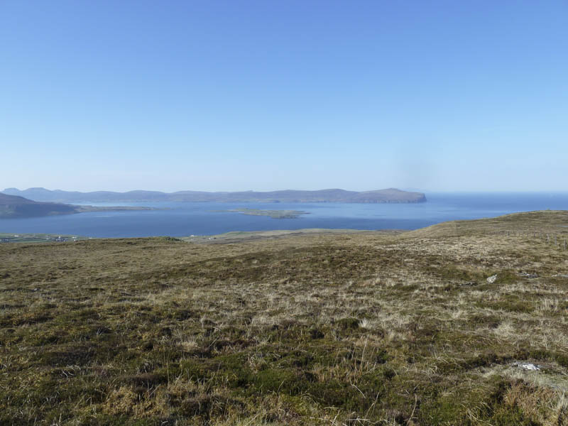
After a few minutes here I returned by the ascent route.
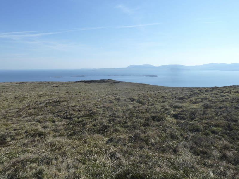
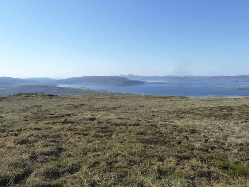
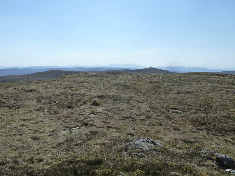
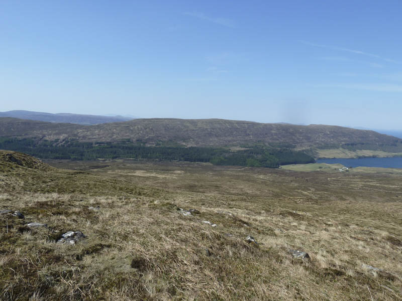
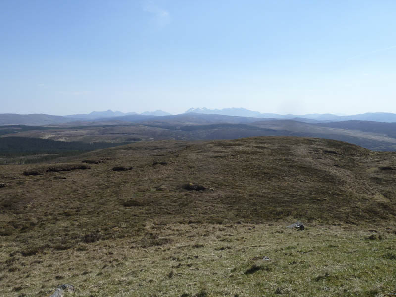
Beinn Chreagach: This Marilyn was located at the south end of the Waternish Peninsula on the Isle of Skye so I drove back south along the B886 Lusta Road. There was limited parking north of the Fairy Bridge so I ended up leaving my vehicle on the verge at grid reference NG274/531.
I crossed the road, walked through some rather long and thick heather, then went up an embankment.
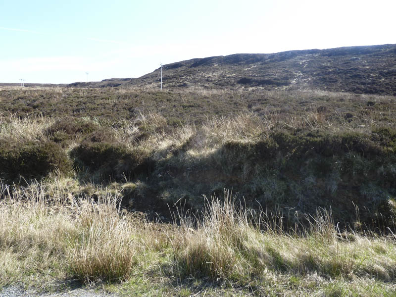
The gradient soon eased but the underfoot conditions remained difficult with lots of soft vegetation, heather and dead grasses making for slow progress.
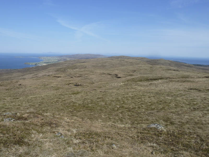
Later there was a slight improvement with some animal trails to follow and eventually I gained the south ridge of Beinn Chreagach before climbing to the summit cairn.
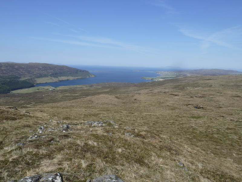
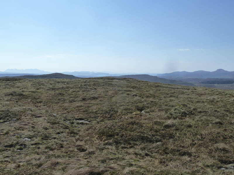
After a break here sheltering from the wind I made a more direct return to my car but there was little improvement in the underfoot conditions.
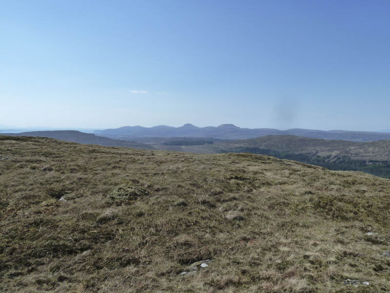
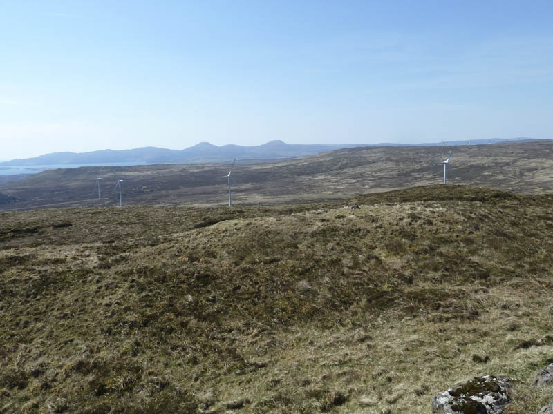
Cruachan-Glen Vic Askill: The ascent of this hill from the south-west involved driving east along the single track Balmeanach Road, accessed from the A863 Struan to Dunvegan Road at Caroy. I read it was possible to drive beyond the end of the public road and discovered this was still the case. The wide vehicle track took me through the forest and to near the power station where a sign on a gate indicated no unauthorised access. Here I left my car on an area of rough ground.
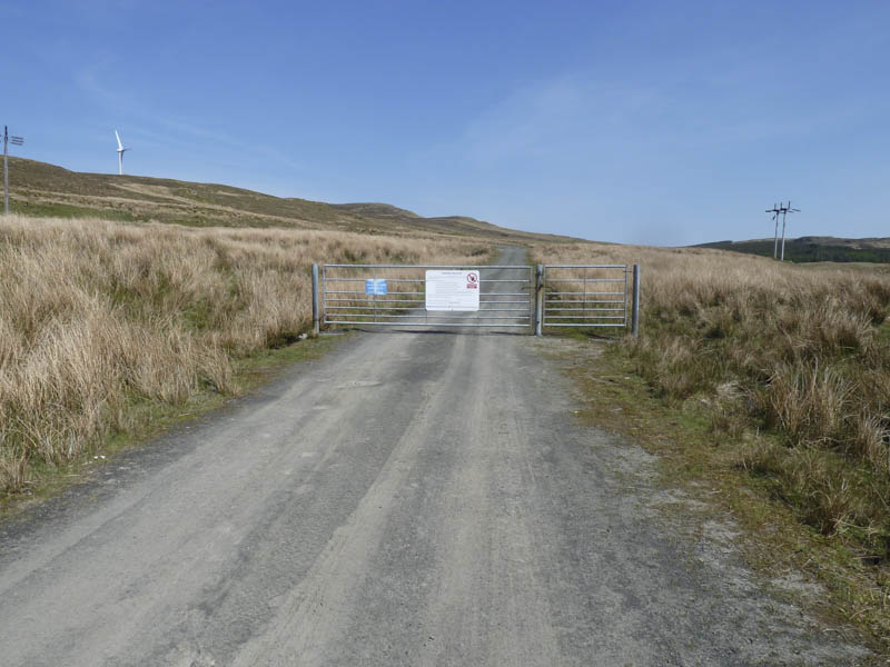
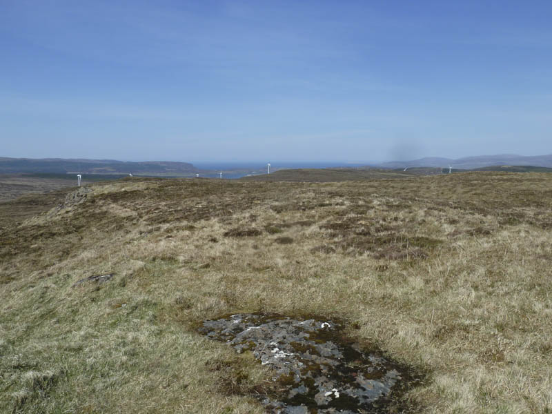
I walked round the gate and up the vehicle track towards the wind turbines.

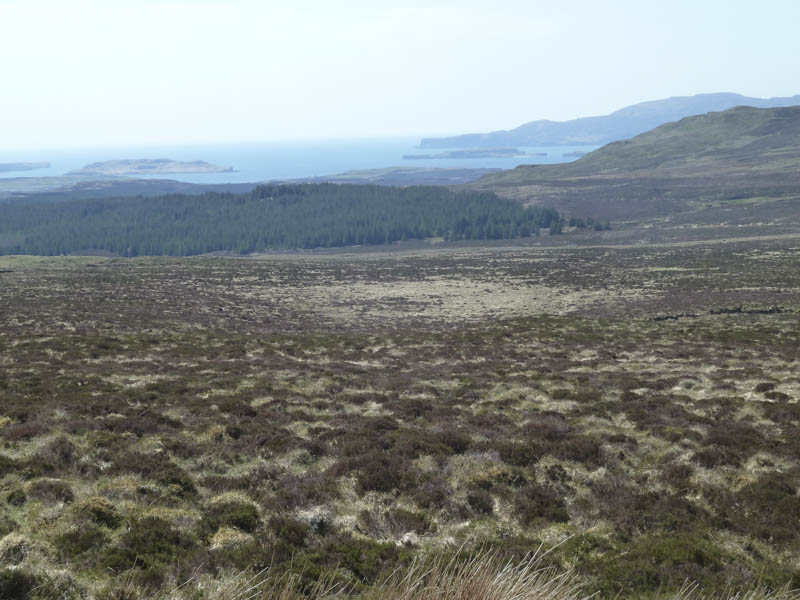
After passing the third turbine I left the track and climbed the Marilyn, Cruachan-Glen Vic Askill. It was rough going but the summit, marked by a few stones, was soon reached.
After a break at the summit sheltering from the breeze I descended south-west to rejoin the track then followed it back to the start.
- Total time taken – 5 hours.
- Total distance – 13.75 kilometres.
- Total height climbed – 625 metres.