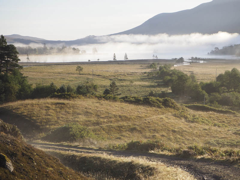
I was staying in Tyndrum so a short drive up the A82 to Bridge of Orchy then along the single track road took me to the car park just south of Victoria Bridge where I left my vehicle. It was only 2C when I commenced the walk west along the vehicle track to the south of the Abhainn Shira but the sun was out and it was warming up. The sky virtually remained cloud free for the rest of the day.
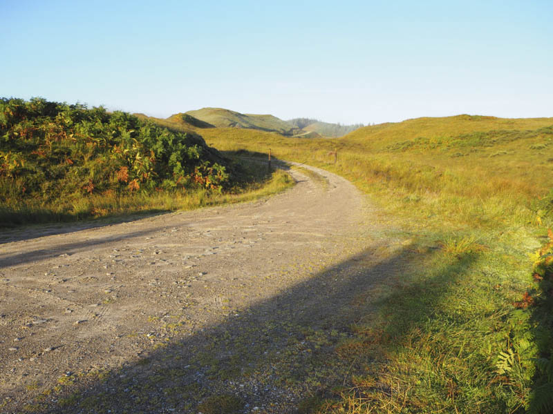
A stile beside a gate in a deer fence was crossed as I followed the track through a forest losing a bit of height to reach a padlocked deer gate. Once over it there was a wide open area of ground before another locked deer gate was encountered.
I entered another area of forest and continued along the vehicle track which extended further than my map showed. In fact it only came to an end within a couple of hundred metres of the westerly extremity of the forest. Long wet grass and some boggy ground then led to a tied down gate in the deer fence.
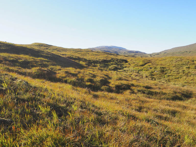
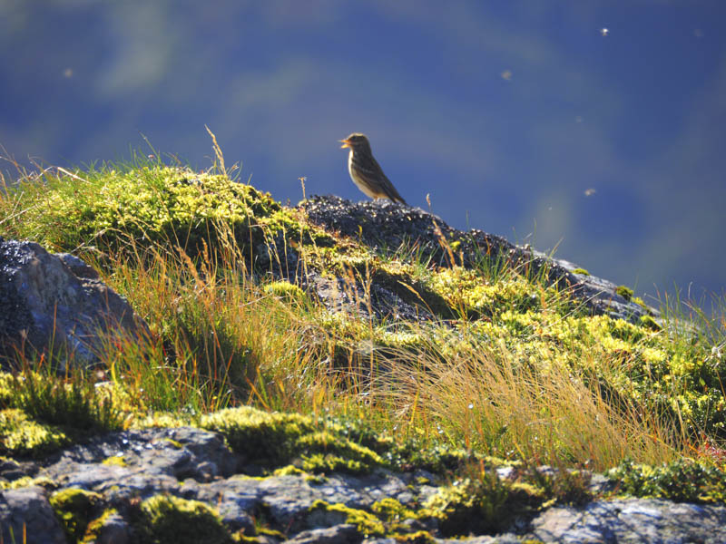
Once over it I headed north above the Allt Suil na Curra through rough vegetation including lots of bog myrtle. Higher up the ground was a bit drier and mainly consisted of long grasses and some small peat hags as I kept well to the east of the stream as it ran through a gully.
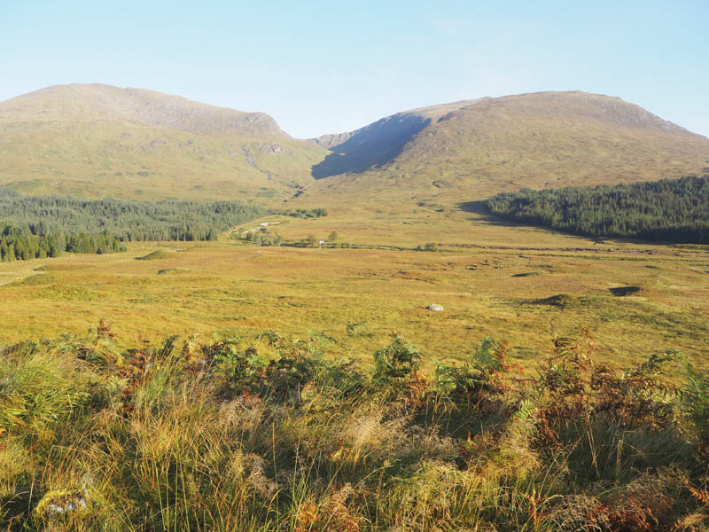
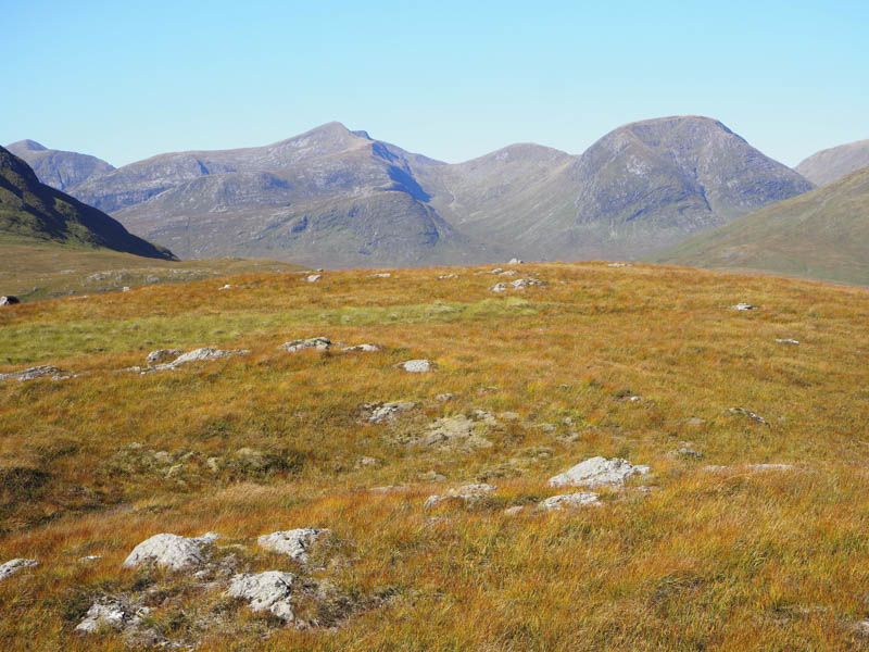
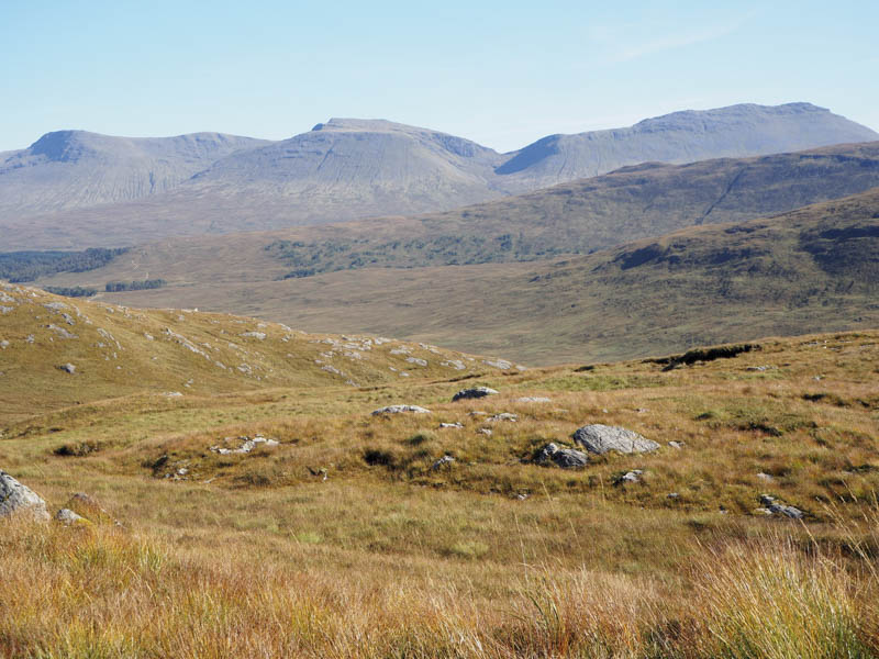
Beinn a’ Chuirn now came into view although it was still three kilometres away.
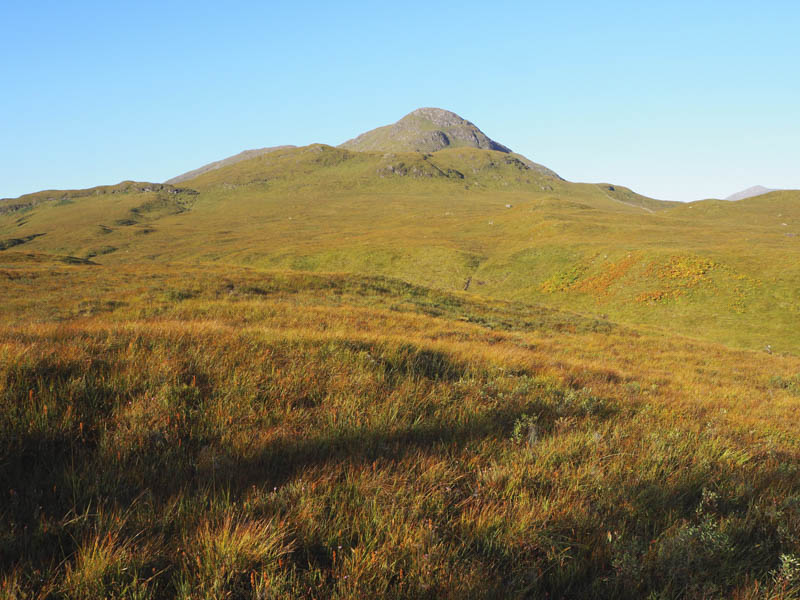
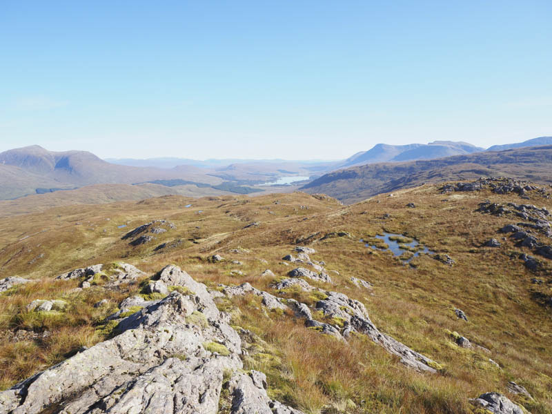
The walking became a bit easier as I worked my way round numerous wee knolls slowly gaining height. Eventually I reached the north-east ridge then it was an easy walk to the summit of this Marilyn, marked by a couple of stones on a rock. A knoll to the south-west was a fine viewpoint.
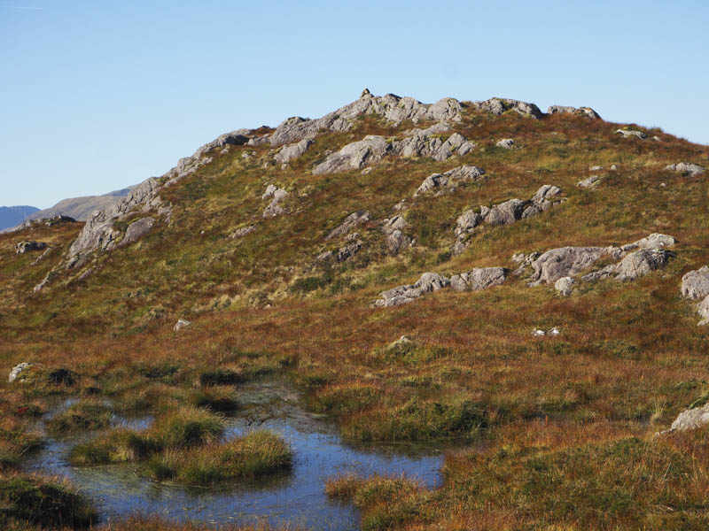
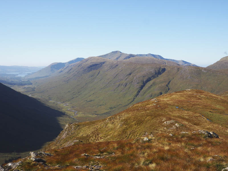
On leaving this summit area I descended its north-east ridge then continued north to the west of Coire Seilich and to the col below Creag an Damh. Some rough vegetation was crossed then deer tracks led to the summit of this Tump which was marked by a cairn.
I then descended north-east to the north of Creag an Tailleir but with cattle on the open hillside I headed towards the forest crossing a couple of electric fences, one with two wires and the other with three using my survival bag for protection. On reaching the deer fence I managed to squeeze through a gap created by a broken spar in the gate then descended a fire break consisting of long grass which led to the vehicle track used earlier in the day.
- Time taken – 6.75 hours.
- Distance – 19.25 kilometres.
- Height climbed – 655 metres.