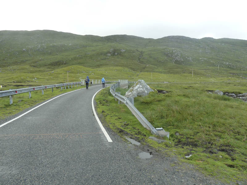
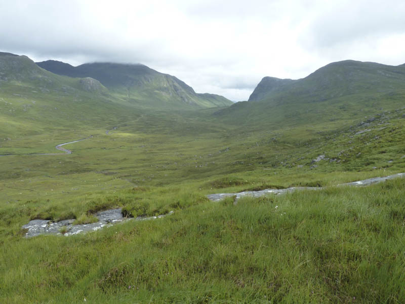
We left my car in the parking area on the single track B887 Tarbert to Huisinis Road at the bridge over the Abhainn Mhiabhaig and walked along the road to beyond a fenced off area.
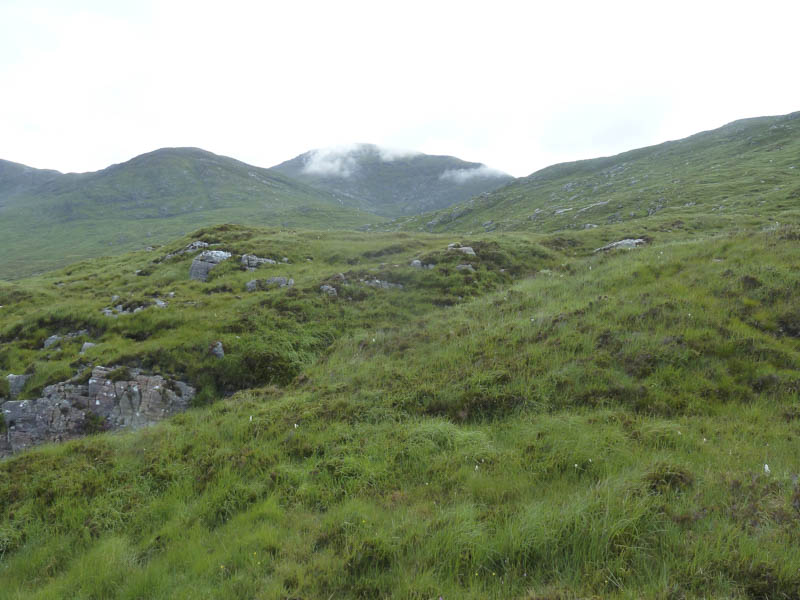
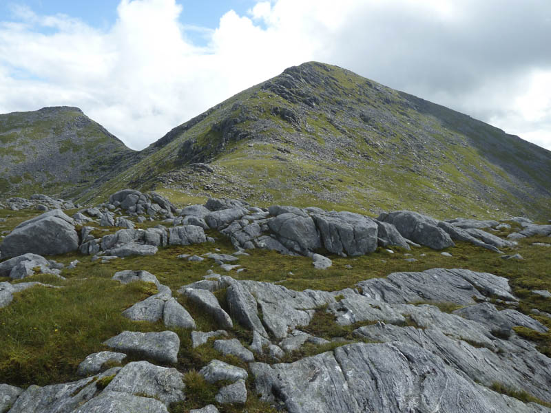
From there we climbed east onto the south-west/south ridge of Uisgneabhal Mor.
It was then a steady climb with a couple of undulations to gain the narrow ridge and beyond, the cairn marking the summit of this Graham. Unfortunately just before our arrival cloud engulfed the hill.
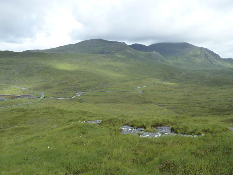
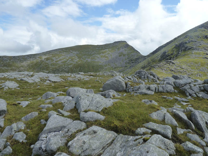
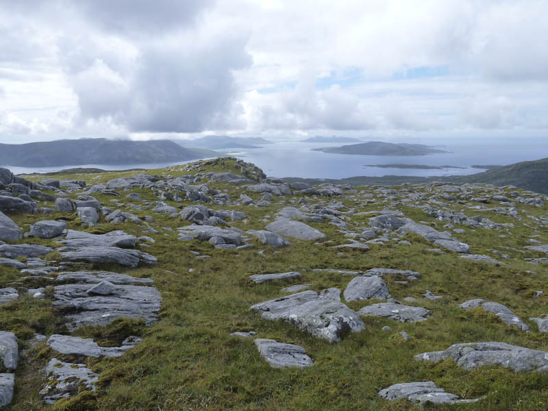
After a break here waiting without success for the cloud to clear, we descended north-west initially on grass but soon encountered some rock which required a few awkward moves. By this time the cloud had lifted and it was turning out to be a pleasant afternoon.
We ascended the Sub Dodd, Uisgneabhal Beag, where we took another break this time in the sun.
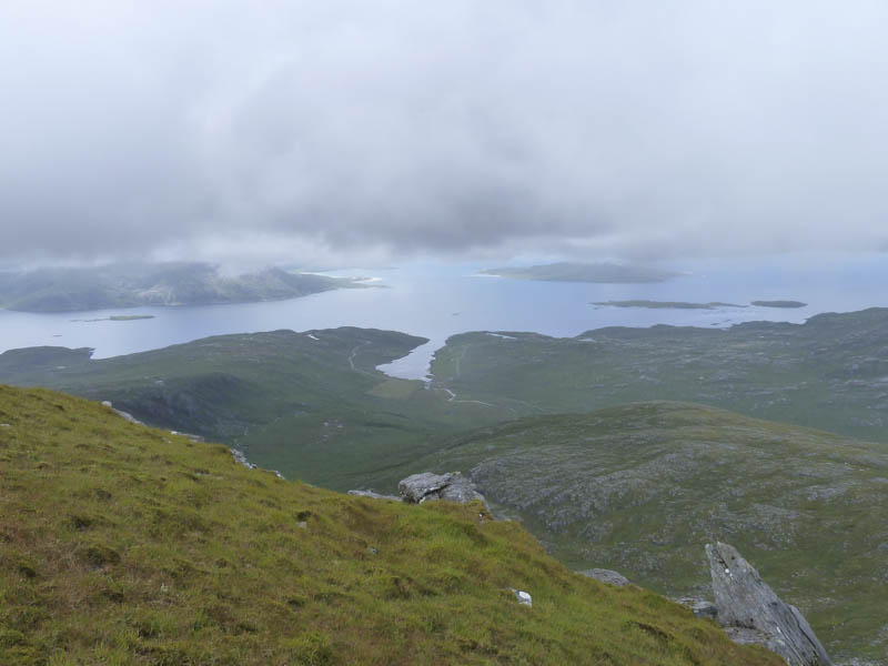
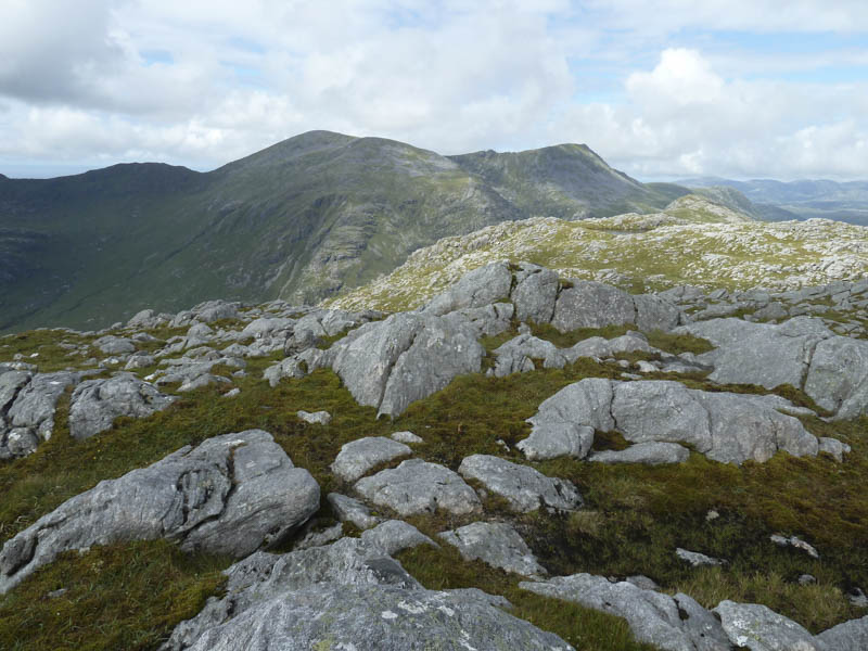
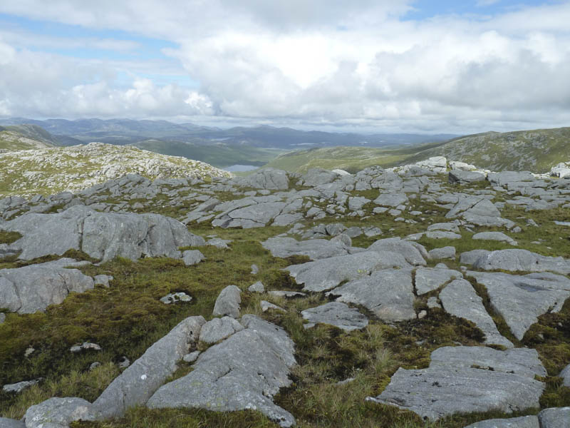
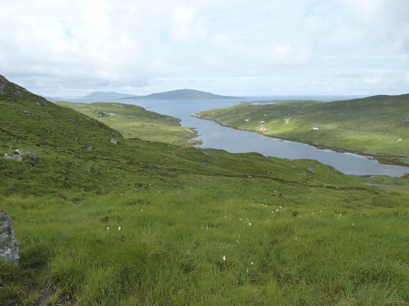
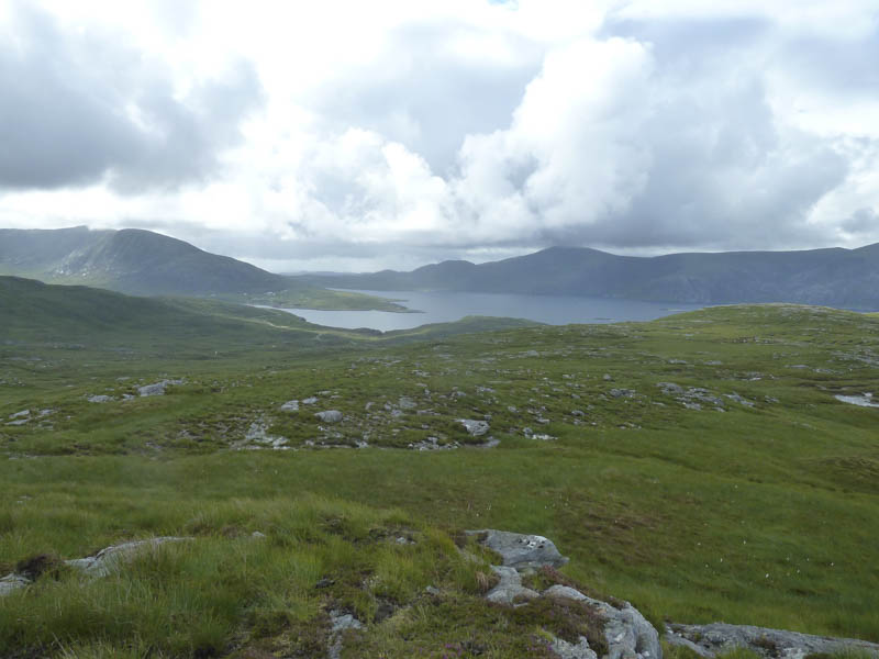
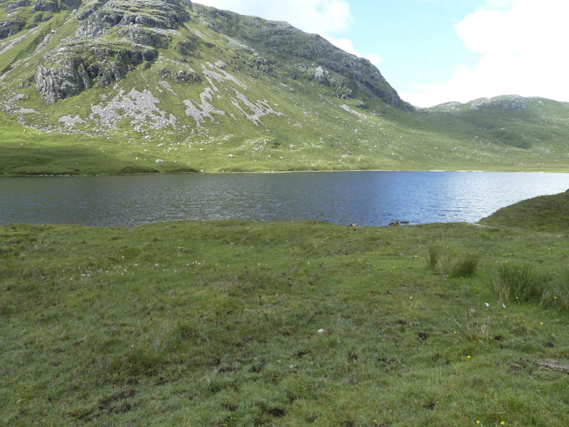
Thereafter we descended west through more awkward terrain to reach Gleann Mhiabhaig at the south end of Loch Scourst.
This was followed by a walk down the glen on an estate track passing several folks heading for the eagle hide.
- Time taken – 6.25 hours.
- Distance – 10 kilometres.
- Height climbed – 775 metres.