The plan was to climb the Corbett, Beinn Bhreac-liath, from the A82 north of Tyndrum, and to include the Graham Top, Beinn Bheag. Strath Fillan and Tyndrum were engulfed in low cloud but just north of the village and after the council boundary the skies cleared. Around 100 metres further on I came to the lay-by on the west side of the A82 immediately before Coire Chailein (GR NN322337) where I left my car.
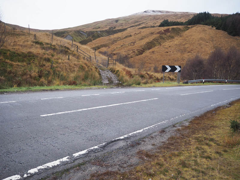
Immediately north of the lay-by there was a tidied down gate in a deer fence and once across it a wet grassy ATV track was followed briefly south before I left it and commenced the ascent of Beinn Bheag.
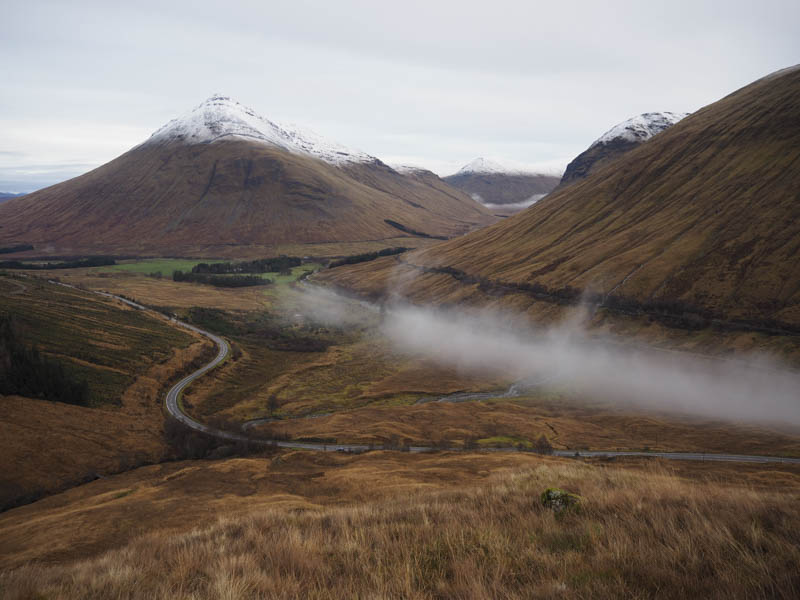
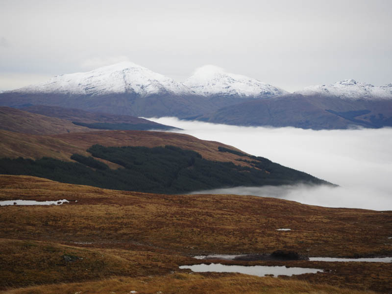
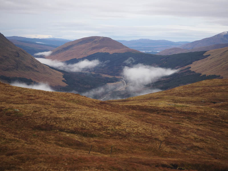
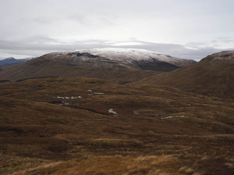
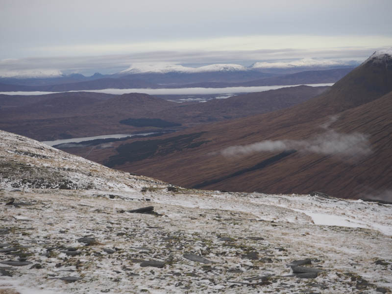
It was a steady climb of its north-east ridge to reach the summit area with views across the low cloud covering Strath Fillan to the snow capped hills around Crianlarich and across Glen Lochy to Ben Lui and its adjacent Munros.
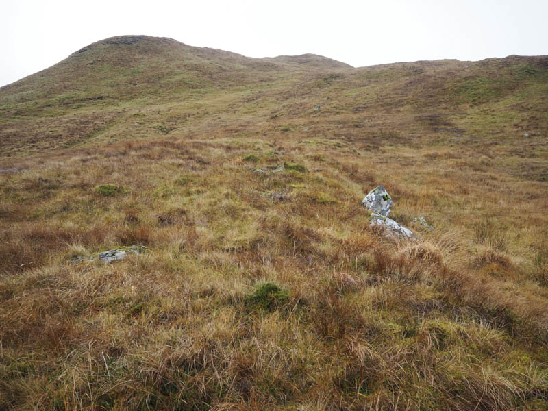
After visiting the cairn marking the summit of Beinn Bheag I descended west then north-west across some rough vegetation to reach the col with Beinn Bhreach-liath where there were several old fences and a deer fence which didn’t require crossing.
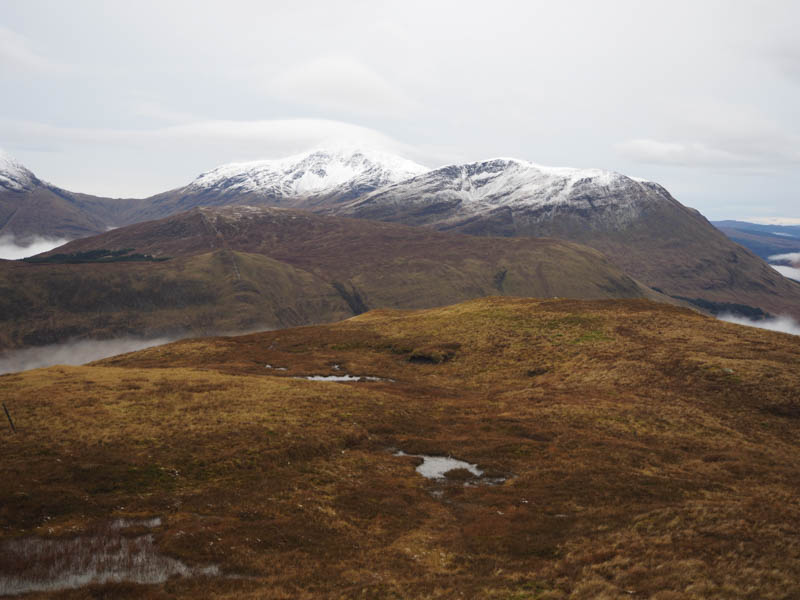
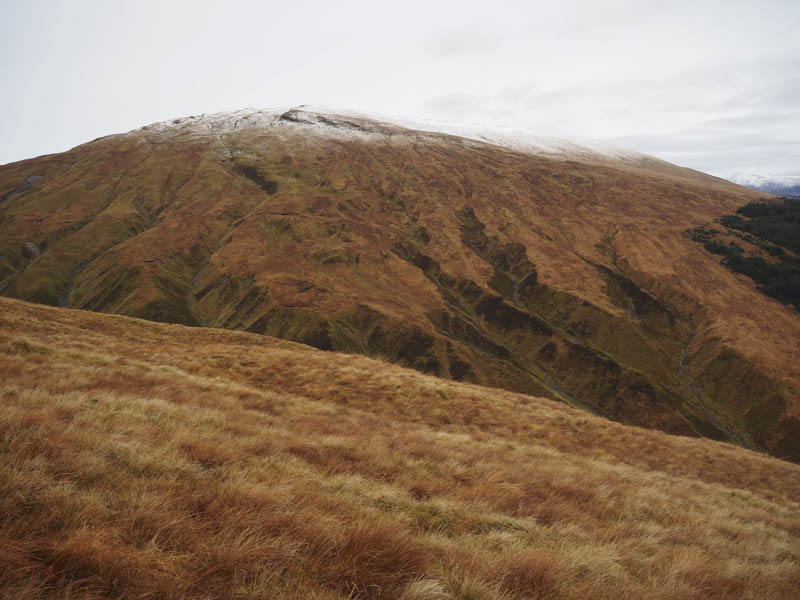
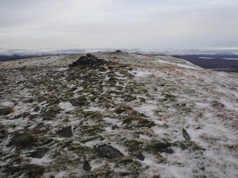
Another steady climb north-west took me to the snow line and beyond there some rocks which I avoided. The gradient later eased and here the snow was a bit deeper as I continued to the summit cairns. It appeared to me that the northerly one was the highest but apparently the south one was the official summit.
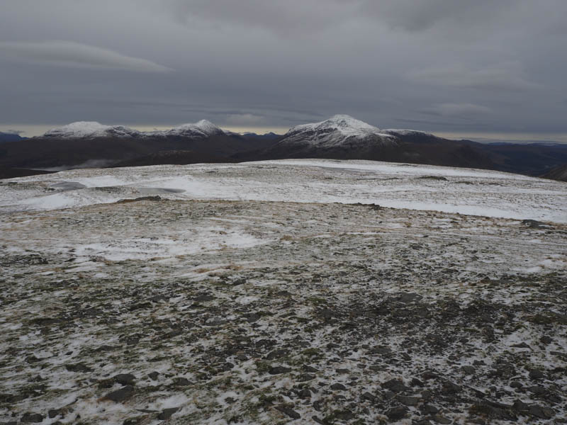
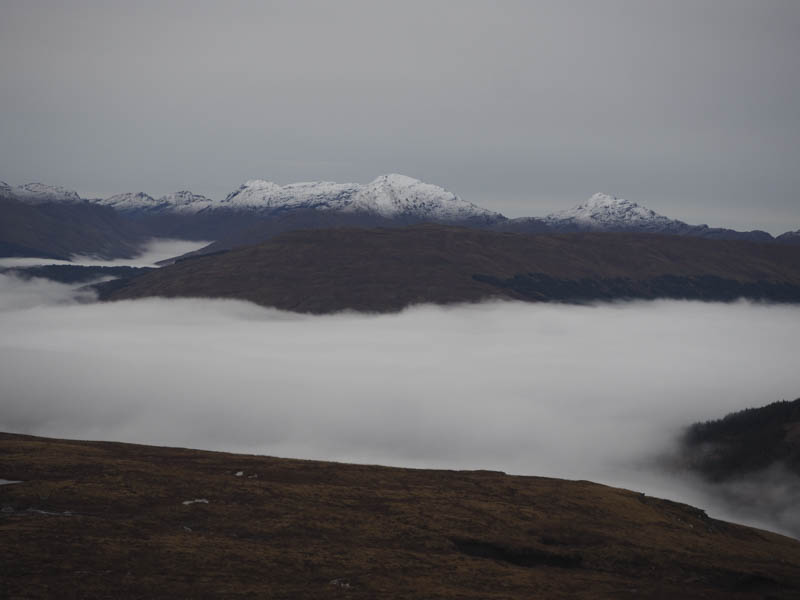
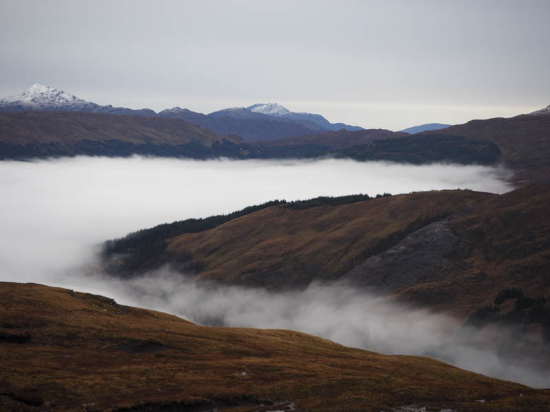
I took a break here with views across to the Bridge of Orchy Hills. I later descended south-east where there was an ATV track, which I used briefly, then I headed east in an attempt to stay above the numerous gullies and some recent landslips. The route did involve crossing a few minor gullies but eventually I was forced to descend into Coire Chailein. I then walked along the north side of the Allt Coire Chailein latterly on a path which led to a bridge over the stream and a short climb to the tidied down gate beside the lay-by.
- Time taken – 3.25 hours.
- Distance – 6.75 kilometres.
- Height climbed – 605 metres.