I left my vehicle in the car park beside the road bridge leading to Mains of Inverourie, just west of the B9136 Tomintoul to Glenlivet Road and the River Avon in Strath Avon, crossed the bridge and walked briefly south on the B9136 to the access track for Ballenlish. I headed up this track passed a couple of houses then through a birch wood to a gate in a deer fence.
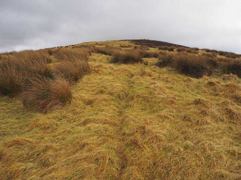
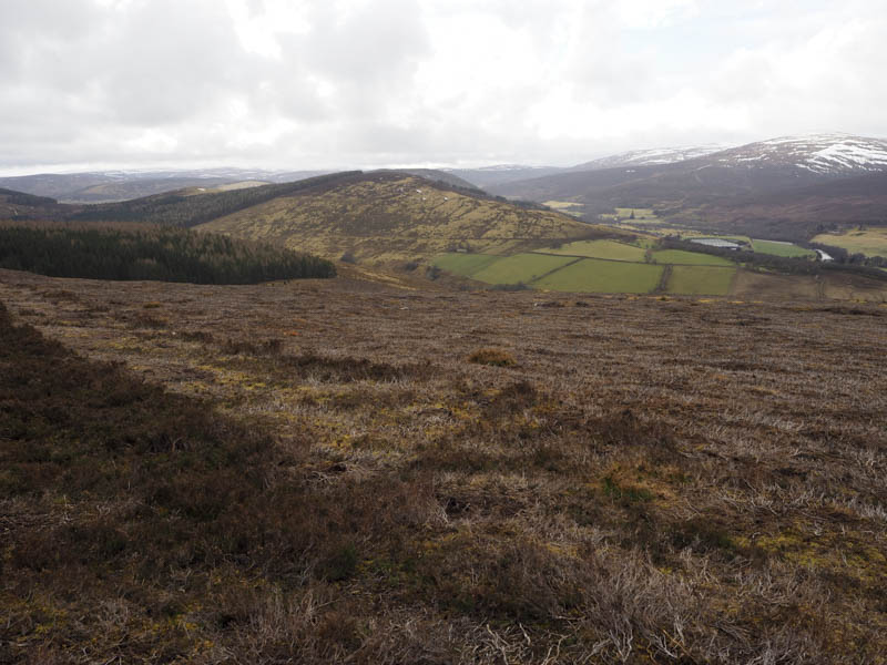
Beyond this gate Belted Galloway cattle were feeding from troughs so once through the gate I left the track and walked round the muddy area where the cattle were feeding and onto the north ridge of Cairn Ballantruan. There were traces of a path through the grass and rushes then higher up heather before reaching the cairn marking the summit of this Tump.
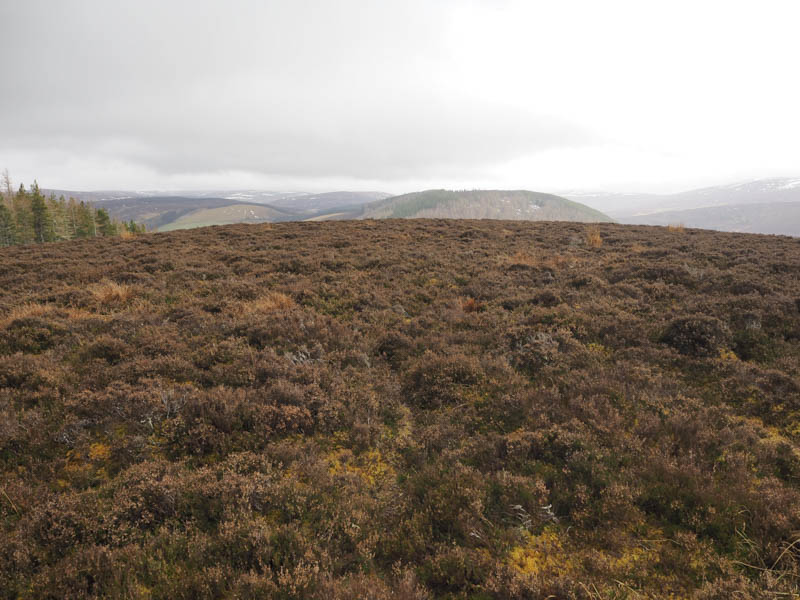
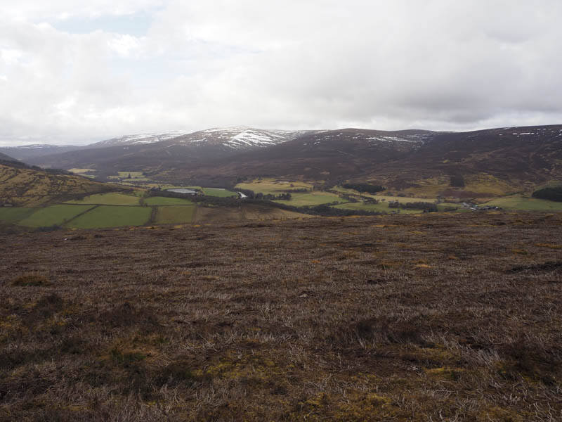
From here I descended east, keeping to the north of the forest, working my way through the heather and later grass and moss to re-join the vehicle track used earlier over a kilometre from the point I left it. A gate led into the forest which was used as part of the Glen Livet Mountain Bike Trails.
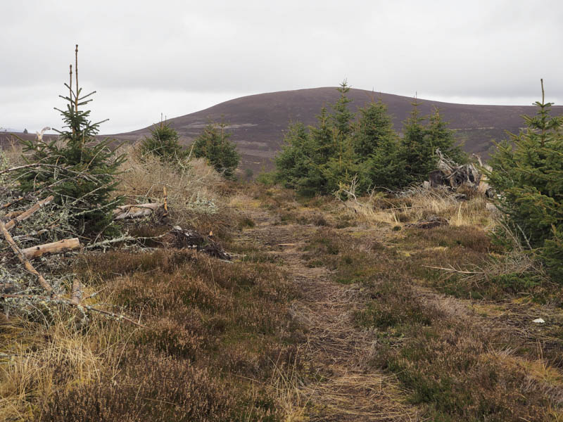
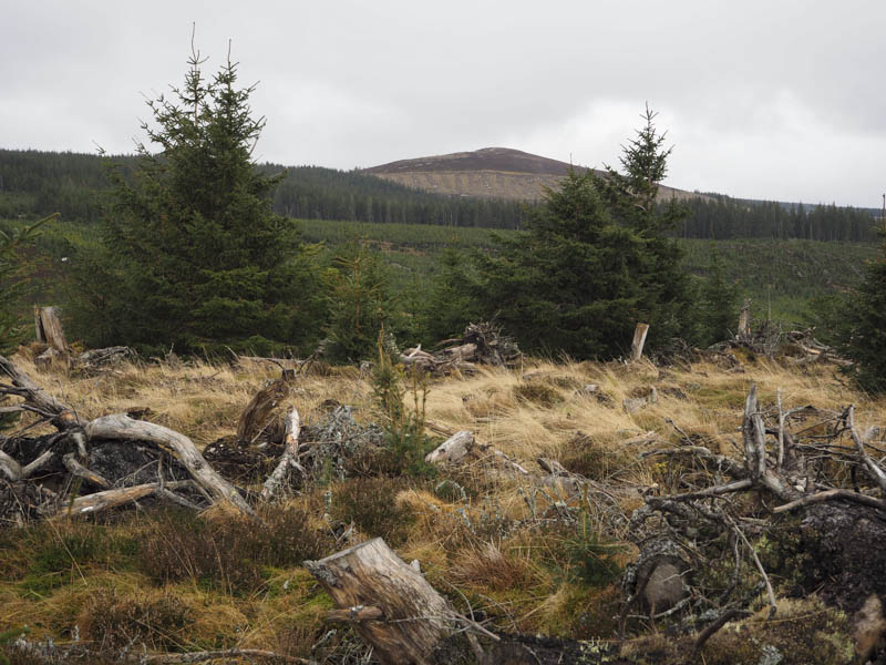
At a junction of tracks I headed north, crossing the Chalet Water then used various forest tracks to reach Carn Dubh. The summit of this Tump was located on the north side of the forest ride where the mature trees had been harvested and young saplings were growing.
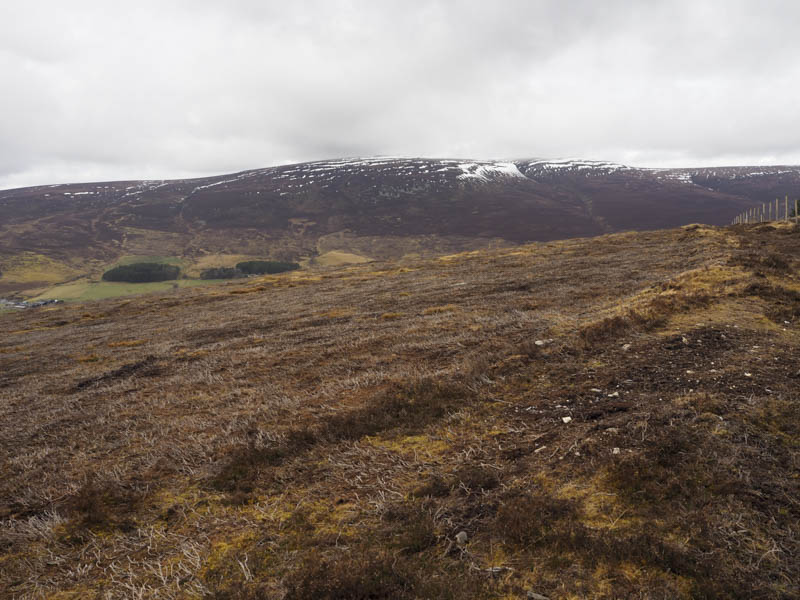
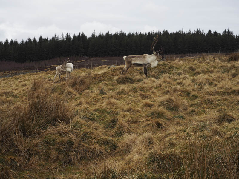
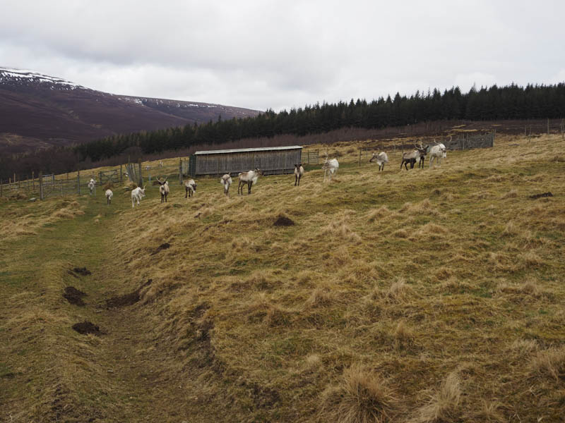
After a break here I continued west to a gate in a deer fence then across short vegetation to a path shown on my map. It was no longer in use but led to enclosures containing reindeer.
There were then numerous gates to cross as most of them were tidied down before reaching the farm at Ballcorach and the B9136 a few metres north of my starting point.
- Time taken – 3 hours.
- Distance 8.75 kilometres.
- Height climbed – 415 metres.