Access by vehicle to the remote hills between Kinbrace and Ben Klibreck required permission from the estate and this was obtained by my walking partner whom I uplifted from the caravan site at Brora. I then continued the drive north on the A9 to Helmsdale then along the single track A897 to Kinbrace where I joined the B871 road to Bettyhill. Immediately before Badanloch Lodge turned left and headed west along an estate track, which had a few rough areas. (In better condition than some public roads) After around 14 kilometres came to the start of the track up the east side of Ben Armine and just beyond it left my car in a small quarry. (NC68533102)
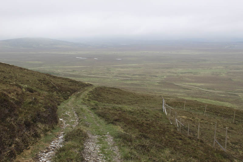
We walked briefly east to the start of the ATV track at NC68623101, passing a tent, (spoke with the occupier on our return) then headed south-east up this fairly rough track which had a few boggy sections.
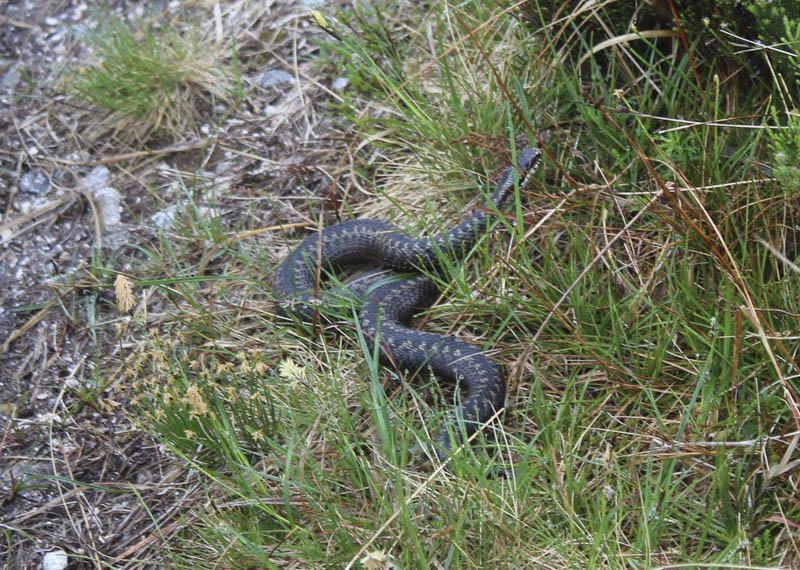
An adder spotted on the track raised its head.
The track gradually turned south and we entered the low cloud. After around five kilometres from setting out we came to a track junction and here stopped for a fuel break.
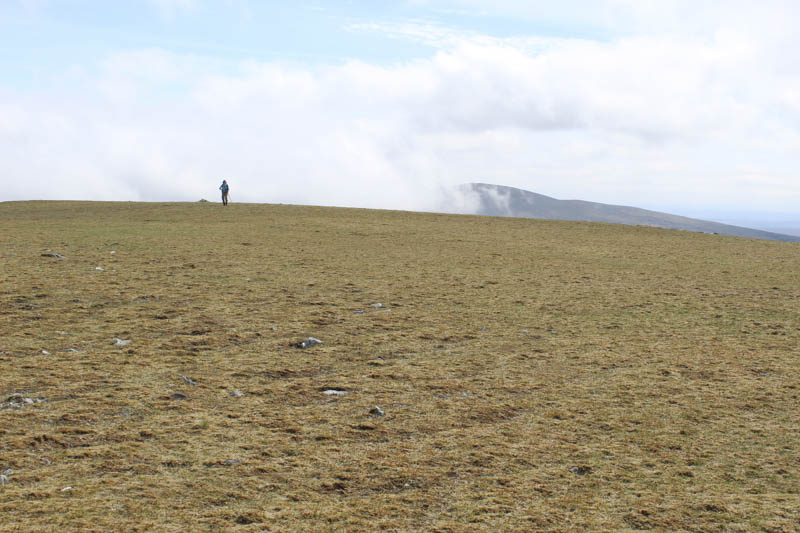
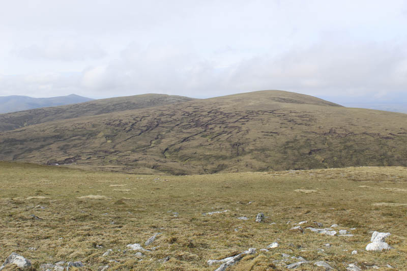
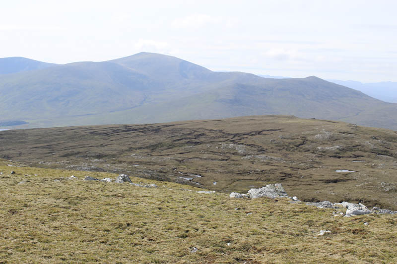
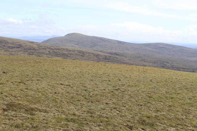
Afterwards we headed west towards the track’s highpoint then left it and as the cloud appeared to be breaking up descended south to the head of Coir’ an Eas and some peat hags. The majority of them were dry so we made use of a few to make progress and later to gain height, probably easier than the adjoining rough vegetation. Beyond the peat hags there were fewer undulations but we were back into the low cloud as we ascended Creag Mhor. The highest point of this Graham was the trig point within a wind shelter.
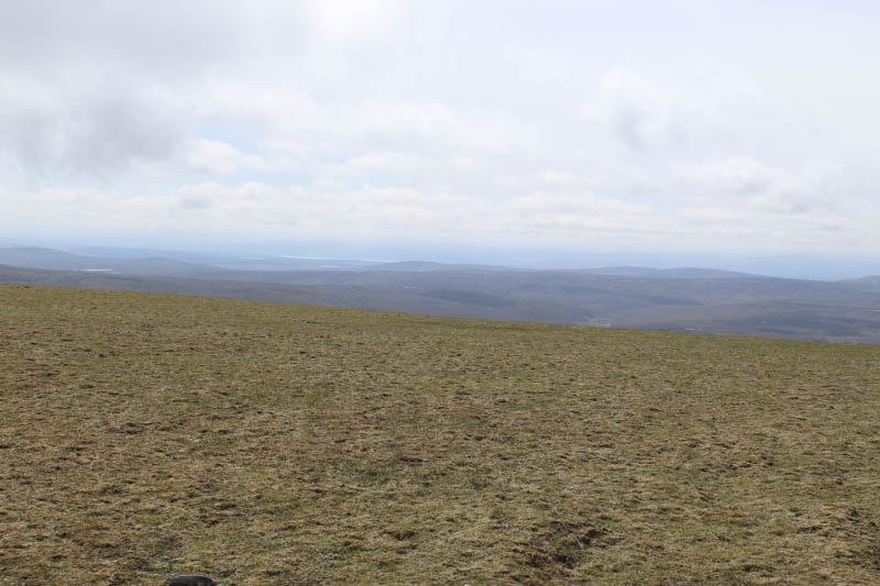
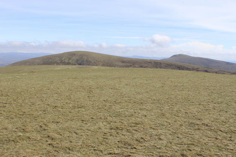
With no views we descended back to the col and out of the low cloud which this time was clearing. The ascent of Ben Armine was through more peat hags, across the path we used earlier, and higher up onto easier ground. The flat summit of Creag a’ Choire Ghlais, Ben Armine, was reached, the highest point of this Graham being a small cairn.
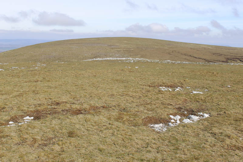
We then descended north-west to the col with Meall nan Aighean and here we split up. My walking partner planned to walk round the south-east side of Meall nan Aighean and return to the ATV track and the start. I headed for this summit. There were more peat hags here and I ascended one for around 300 metres before the final climb to the summit of this Graham Top and Hump marked by a rock.
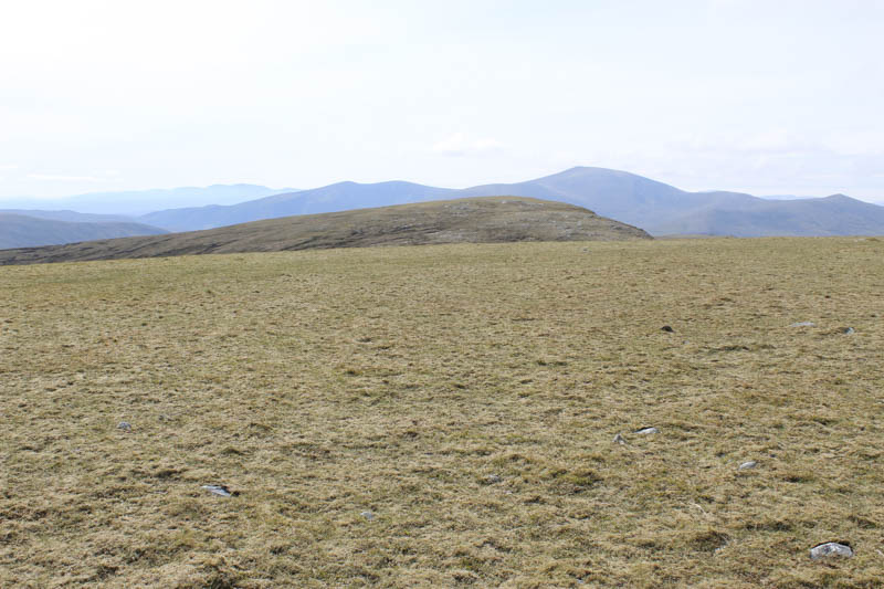
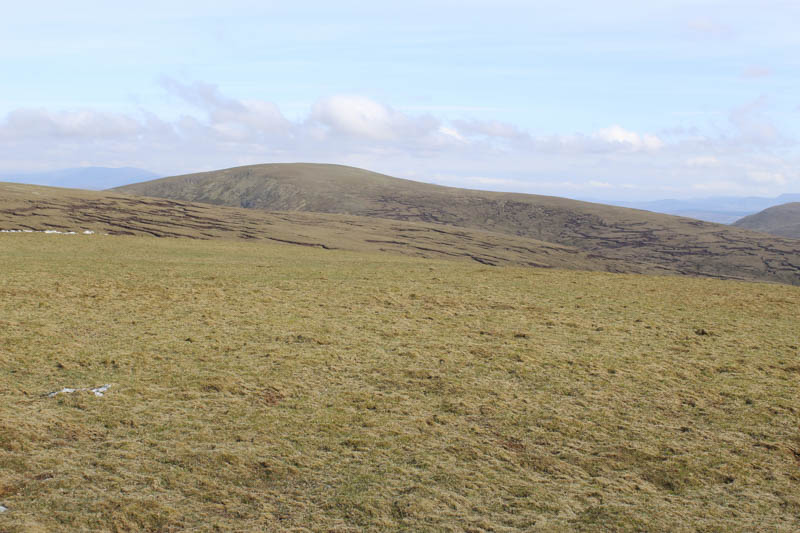
I also visited another rock which may have been at the same height before making the short descent to the col with Creag na h-Iolaire followed by an easy climb to the cairn marking the summit of this Graham Top.
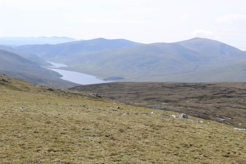
Thereafter I returned to the col between Creag na h-Iolaire and Meall nan Aighean then descended north-east, initially easy walking with a few gullies to cross.
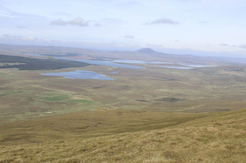
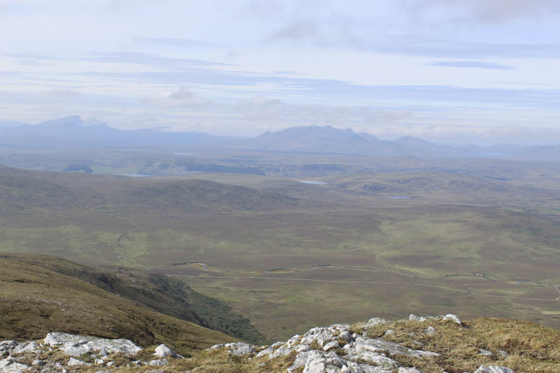
Lower down the vegetation was a bit longer and rougher. Eventually I reached the ATV track used earlier that day (at NG69253026) then it was just over a kilometre back to the car where I rejoined my walking partner. It would have been possible to make a more direct descent to my car but due to the low cloud at the start of the walk it wasn’t possible to figure out the extent of the wooded area to the south which was enclosed by a deer fence.
- Time taken – 8 hours.
- Distance – 20 kilometres.
- Height climbed – 1015 metres.