Meall an t-Slamain – I left my car opposite the houses in the hamlet of Achaphubuil on the A861 South Lock Eil Road and walked briefly east to the vehicle track at NN983760, signposted Ben Nevis Viewpoint. This track, which was in good condition having recently been upgraded, wound its way south, fairly steeply at times. There was also some new fencing, including a deer fence to protect the native tree species.
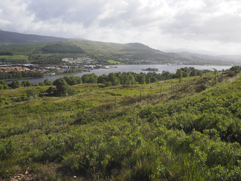
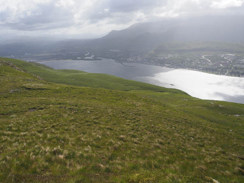
After passing through a gate in the deer fence the track deteriorated significantly. A sign indicated that the track was no longer suitable for 4 wheel drive vehicles and only 8 wheeled vehicles should access it. The track was very rough with large stones so it was easier to walk through the vegetation at its edge. Higher up I crossed a padlocked stock gate before leaving the track a few metres before reaching the communications tower. Here a path led to a trig point but the summit of Meall an t-Slamain was still over a kilometre away, to the south-west.
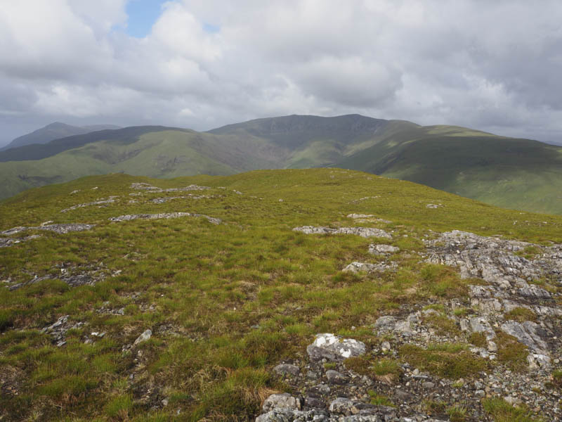
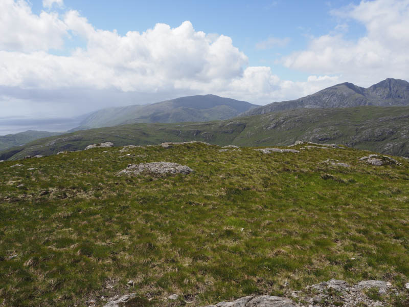
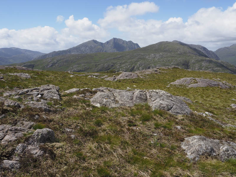
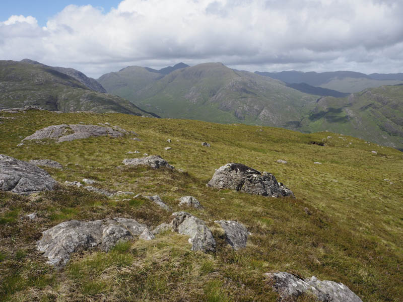
The route to this highpoint was across pathless terrain, working my way round several knolls, to reach the cairn marking the summit of this Marilyn.
After a short break sheltering from the wind I returned by the ascent route.
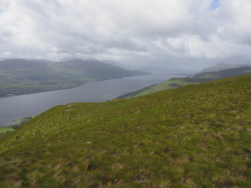
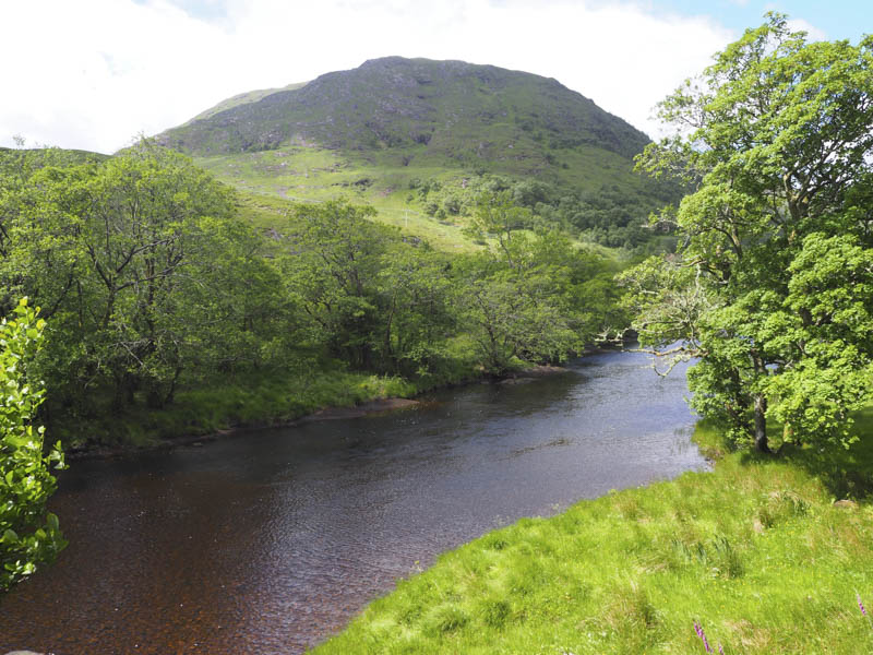
Beinn Leamhain – After climbing Meall an t-Slamain I drove south-west on the A861, through Corran, to Sallachan parking on the north side of the River Gour on what was probably an old section of the main road. I crossed the bridge over the river then walked west along its south side soon leaving the track to commence the ascent of Beinn Leamhain.
It was a steep climb working my way through rocks, crags and gullies to reach the trig point.
This was followed by a slight dip before gaining the cairn marking the summit of this Marliyn.
The return was by the upward route.
- Total time taken – 6 hours.
- Total distance – 13.25 kilometres.
- Total height climbed – 970 metres.