I left my vehicle in the car park located at the end of the single track road near Bardonside, located west of the A941 Rothes to Elgin Road in Moray, then walked south along a vehicle track known as the Mannoch Road. After around 500 metres I came to the junction with the access road to the Rothes Wind Farm, although beforehand I wasn’t aware of this tracks function other than being a vehicle track through the forest. I walked east along this access road later leaving it at the next junction where I went right, south-east. This led to a dam on the Gedloch Burn (NJ221530) where the track came to an end contrary to what my map indicated.
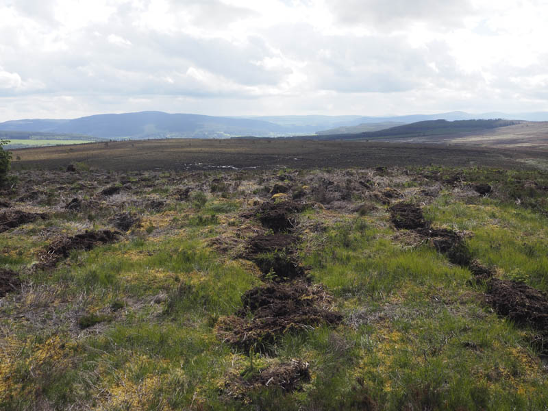
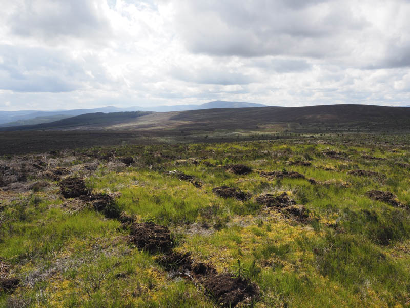
I briefly headed south then walked east along a firebreak, where the underfoot conditions were reasonable, to locate the vehicle track I was planning to use to reach Brylach Hill. This track was in good nick and made for steady progress although higher up a couple of fallen firs blocked the route. On foot they were easily by-passed but I soon left the track, walked along a couple of firebreaks and crossed a stock fence to gain the open hillside. A short walk north-east took me to the summit of the Tump, Brylach Hill, where a small cairn was located at the edge of the trees. To the south and south-east firs had recently been planted on the hillside.
The stock fence was followed south-west then south along faint traces of a vehicle track to reach the col with Bracken Noits where the ground was boggy. It was then through rough vegetation, passing an open stock gate which gave access to a forest track. However the track terminated here so I continued along the edge of the fence as it gradually took me away from the forest edge. I headed through the long heather to a large cairn but it wasn’t the highest point of the Tump, Bracken Noits, this appeared to be some heather near the stock fence.
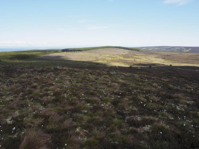
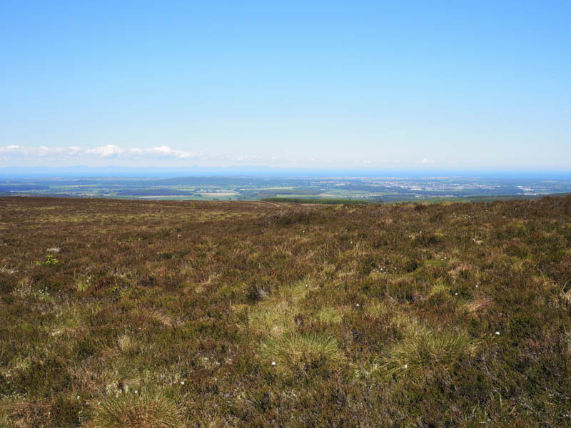
I crossed the stock fence and walked west through more of the rough stuff which now included some bog and tussocks. This led to the south edge of the forest where I walked west between the edge of the trees and old wooden fence posts. The underfoot conditions weren’t great with lots of bog, made worse by deer churning up the area. Eventually I reached another forest track which had recently been widened and used it for around 170 metres to gain the summit area of Pikey Hill. The high point of this Tump appeared to be some heather beside a stock fence to the north of the vehicle track. I also spent some time locating the trig point which was concealed amongst the trees but it appeared lower.
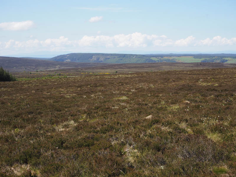
After lunch looking across to the Hill of the Wangie and the Rothes Wind Farm, I returned to the vehicle track and headed back along it. The track then gradually swung round to the north and was partially blocked by several fallen fir trees then contrary to what my map showed came to an end. Initially there was some grass to follow with a few boggy areas but the underfoot conditions continued to deteriorate with lots of dead and new bracken. The Gedoch Burn was reached and followed through poor underfoot conditions to reach the dam I passed earlier in the day. The outward route was then retraced back to the car park. In hindsight from Pikey Hill I should have headed west then south-west before descending north along the Rothes Wind Farm access road.
- Time taken – 4.25 hours.
- Distance – 12.5 kilometres.
- Height climbed – 290 metres.