Cnoc na Gaoithe and Doire Mhor – I left my car at the edge of a passing place, east of Altourie, on the single track Blackfold to Abriachan Road, accessed from the A82 south of Inverness.
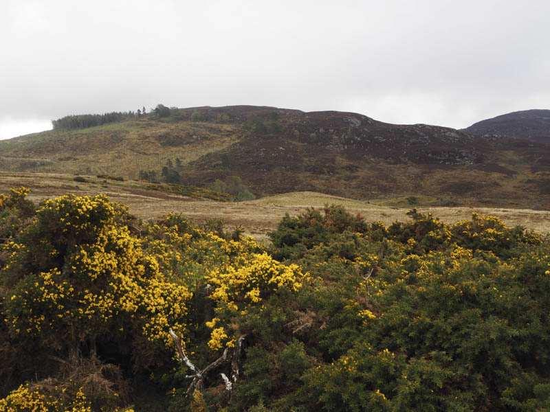
I crossed a gate but there was no evidence of the path shown on my map so I descended through wet grass to the Dochfour Burn, which was quite full after overnight rain. Once across it and a new stock fence topped with barbed wire I commenced the ascent of Cnoc na Gaoithe. It was a steady climb through heather and wet vegetation then higher up some rocks all made easier at times by using the numerous deer tracks. I disturbed a sizeable herd.
The summit of this Tump was reached with some views so I remained there for a while before descending west through heather and wet ground to the col with Doire Mhor.

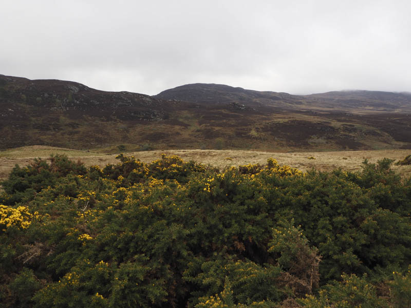
Similar underfoot conditions prevailed as I ascended Doire Mhor with more rock here although I didn’t see much of it as I was engulfed by low cloud. The summit of this Tump was marked by a cairn but a nearby rock appeared higher.
I thereafter descended north out of the cloud and headed over rough ground back to the stock fence and burn then the short ascent to my car.
Creagan Mor and Torr Mor – The starting point for these two Tumps was the entrance to the vehicle track at NH541383 on the minor road north of Leetown, in the Caiplich District, south-west of Inverness. I walked along this vehicle track which soon came to an end then crossed some wet ground before commencing the ascent of Creagan Mor. The trees were well spaced although higher up there was some fallen ones. At the summit of this hill I visited three knolls as I couldn’t tell which was the highest.
The descent north through trees and some brash took me to the vehicle track west of Loch Batton. The track led below Torr Mor where I crossed a harvested area before entering the trees which were well spaced. However getting to the summit of Torr Mor was awkward due to the volume of fallen trees which I threaded a route through to reach its summit.
I returned through the trees to the vehicle track and instead of going over Creagan Mor followed it to the minor road east of Torrangorm, then south-east to a ‘T’ junction, before heading back to my car, a longer but easier route.
Cnoc an Uird – This was my final Tump of the day. I drove to the start of a forest track on the minor road south of Crockanord in The Aird District, south of Beauly. (NH541412) I walked north-west along this track then south-west noting the electric tape obstructing my route to the summit. However I was able to scramble under the tape, which was obviously used to keep cattle from straying out of the wood, and walked through the well spaced trees and brash to a clearing and the mossy outcrop marking the summit of Cnoc an Uird.
I returned by the upward route.
- Total time taken – 4 hours.
- Total distance – 12 kilometres.
- Total height climbed – 505 metres.