With permission I parked at Wester Denoon Farm, located at the end of a minor road south-west of Glamis and accessed from the A94 Forfar to Coupar Angus Road. I then briefly walked south along the vehicle track signposted Kirkton of Auchterhouse before descending east to cross the bridge over the Denoon Burn.
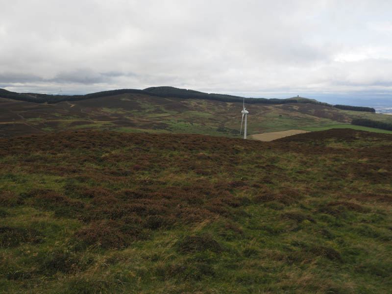
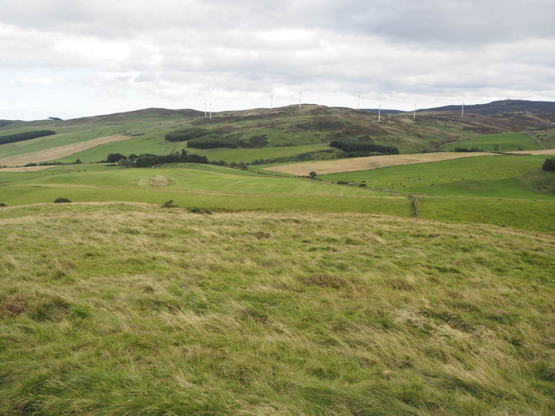
I thereafter crossed a gate and headed up a grassy field to a second gate which gave access to a copse of trees and a grassy vehicle track that ran along its south edge. This track led to a fence at the east end of the wood and once over the fence I worked my way round the north side of Ark Hill and its wind turbines.
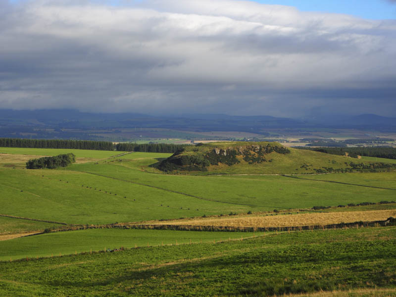
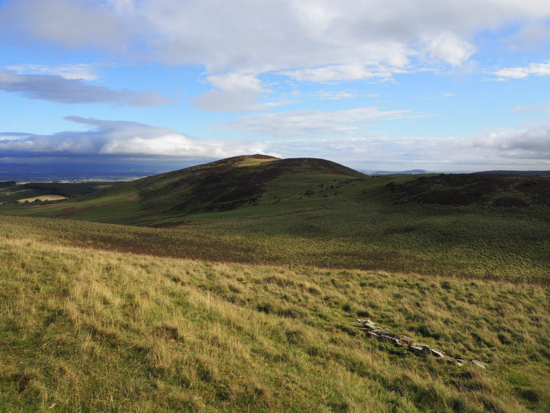
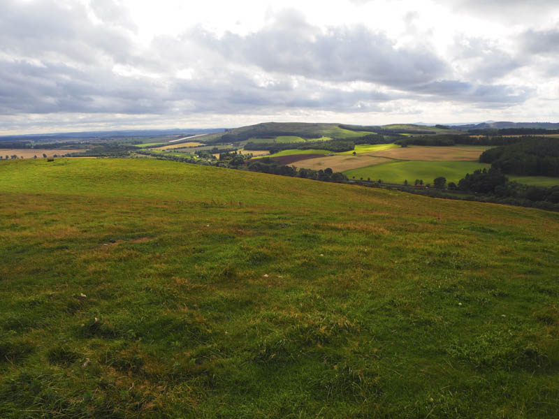
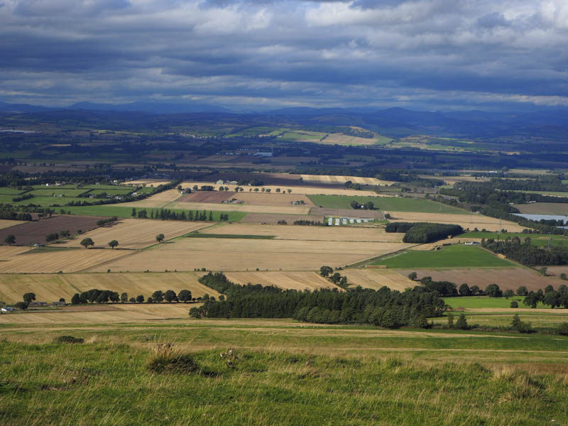
There were numerous fences to follow or cross, more than shown on the map, and included some electric fencing which entailed a few changes of direction. The final approach to Carlunie Hill, was across heather to reach a junction of fences, the highpoint of this Tump, where I sat for a while enjoying the views and warm breeze.
Thereafter I descended south-west later crossing more fences before ascending the Tump, Ark Hill, the summit being an obvious grassy knoll.
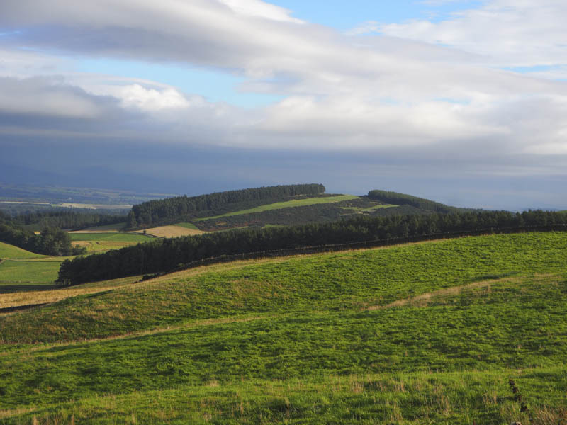
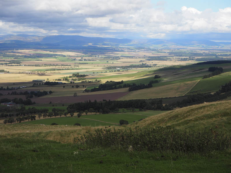
My next objective was the Tump, Henderson Hill, on the other side of Denoon Glen. I initially descended south towards a couple of wind turbines then south-west through bracken and grasses before re-crossing the Denoon Burn. The ascent west was initially through gaps in gorse bushes that had been cut back then swathes of mown heather and this led to a fenced off area containing saplings. I diverted to the south locating then following animal tracks west. The peace and tranquillity of the area was broken by three off-road motor cyclists careering around the hillside.
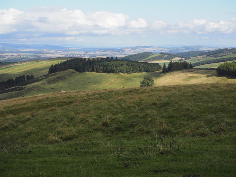
On reaching the edge of the forest I followed it north-east before entering it and walking west along a firebreak to join a forest track which was used to gain a bit more height. On leaving this track I walked west along second firebreak then it was a short stroll north on a third firebreak to the summit of Henderson Hill.
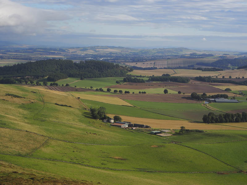
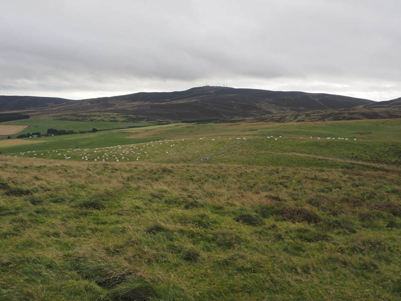
I returned to the second firebreak and continued west to the edge of the forest. I then followed it west then north-west crossing the forest track and descending to and over Denend Burn. The plan was to head directly to Hatton Hill but there was a large herd of cattle to the south of the ruin at Edderty. To avoid them I crossed a fence and a couple of gates to below Kinpurney Hill then along animal trails before descending back to Denend Burn. The crossing of this ditch was a bit awkward as it involved two stock fences and some long vegetation. I then ascended two fields, containing sheep, to reach the grassy summit of the Tump, Hatton Hill.
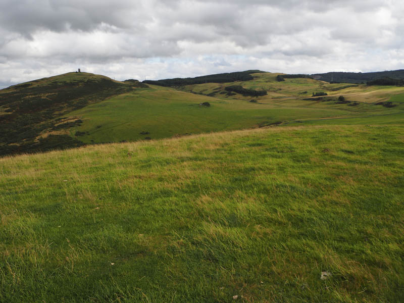
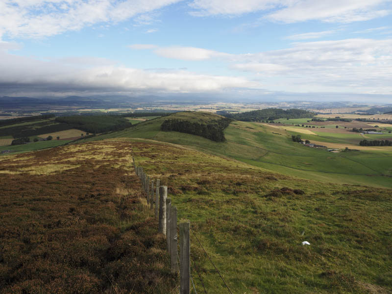
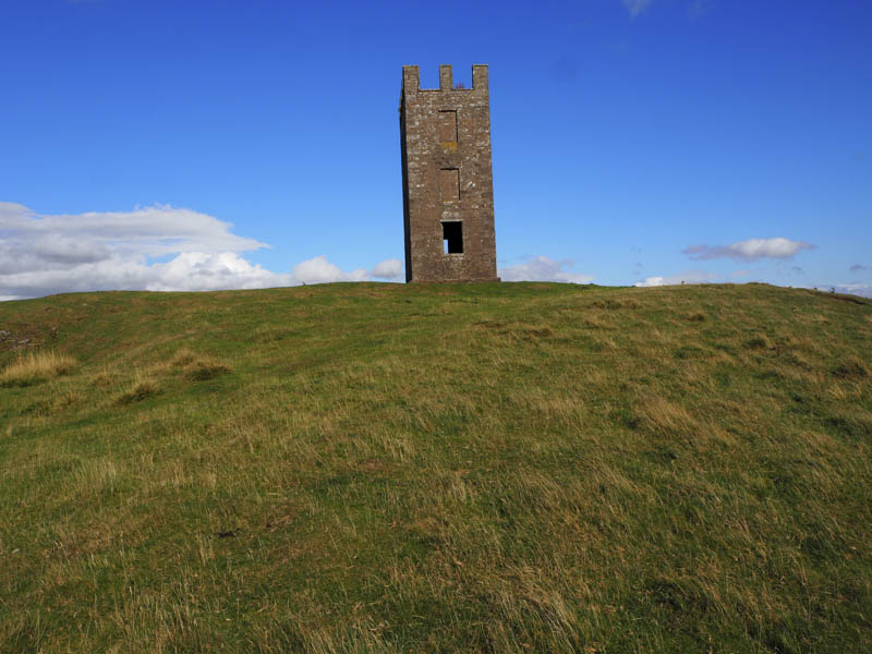
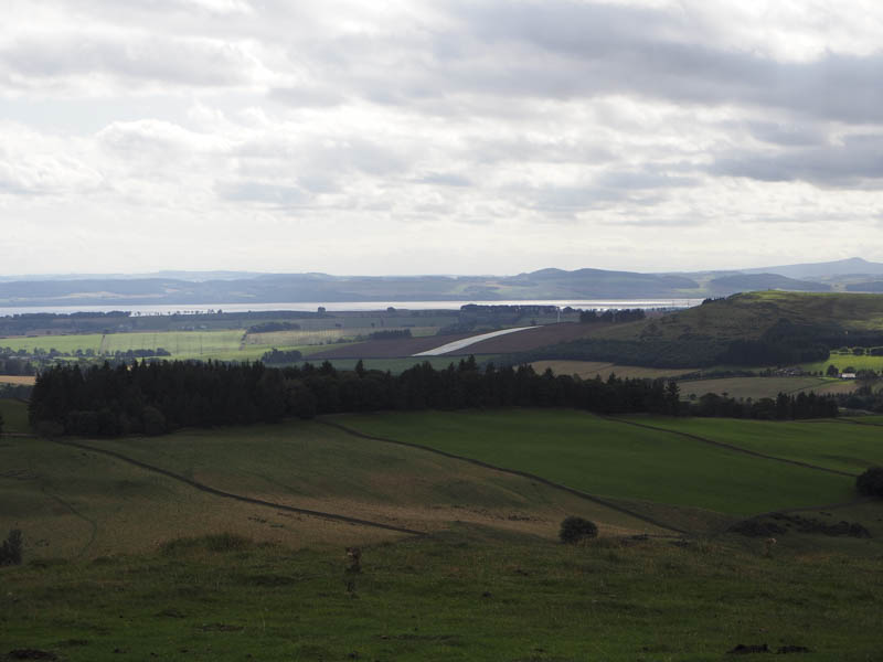
Looking for an easier crossing of the ditch I descended east but getting over the fences and burn wasn’t much different. I then climbed north-east to the ruin at Edderty with the cattle now on the move but they were sufficiently far away not to be troublesome. On reaching the fence at the south side of Kinpurney Hill I crossed it and climbed steeply onto the summit where there was a trig point, toposcope and monument. The highest point of this Tump was apparently beside the latter. The wind was rather strong here but I found shelter at the east side of the monument for lunch.
The descent was to the east on a path that led to the north-east corner of the forest surrounding Henderson Hill. After crossing a couple of fences which included an electric wire the path continued through heather to the north of the trees before turning south and entering the forest. I left the path here and walked through long heather to another fence and electric wire. Once over them I descended north following the edge of a fence before ascending Back Drum. The highest point of this Tump was on the opposite side of a stock fence which I managed to cross avoiding the electric wire.
Thereafter I descended east through bracken, crossed a couple of fields, one of cut grass, the other just stubble, getting an electric shock from the wire positioned between the two fields. Lower down cattle were running wild but thankfully they were on the other side of the fence. The farm track was reached and led back to Wester Denoon and my car.
- Time taken – 6 hours.
- Distance – 15.5 kilometres.
- Height climbed – 690 metres.