Restocknach and Tom a’ Chlaven – These two Tumps were located on opposite sides of the B9009 Dufftown to Tomintoul Road. I left my car at the start of the vehicle track east of Tomacher. This track was used back on Christmas Day 2019 to climb the Tump, Braushie Cree. I walked briefly east along the B9009 before on the south side of the road crossed a stock fence topped with barbed wire. Some wet and boggy ground was negotiated followed by a short steep ascent to the summit of Restocknach, an obvious bump.
The top to the south was reportedly the same height so I descended south on animal trails, crossed a stock gate and climbed east onto the South Top. Thereafter I descended north-east to another gate and beyond it a muddy vehicle track led to the main road.
After returning to my car to take on some water I continued west along the B9009 to the track leading to Tomacher and walked towards this house. I attempted to by-pass it to the west but this turned out not to be possible so I returned to the vehicle track which actually passed the property to the east and continued north into the forest although that part of the track wasn’t shown on my map.
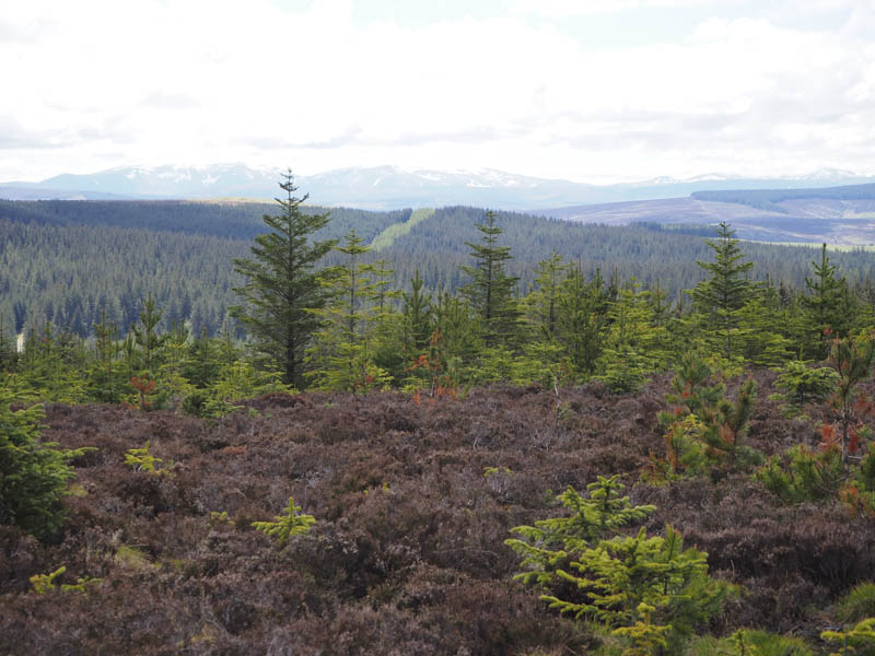
I soon left this track and walked through a narrow heathery gap in the trees then higher up I came across and utilised a wider gap where the heather had been cut. I later left this area, passed through some closer growing trees into a small clearing, the summit of Tom a’ Chlaven.
The return was by the upward route without the diversion at Tomacher.
Carn Tighearn – I left my vehicle in the car park on the south side of the B9009 Dufftown to Grantown on Spey Road just west of the access road to Lagavaich and followed the forest track south then later east to below the south side of the Tump, Carn Tighearn. En-route I was overtaken by an empty logging lorry.
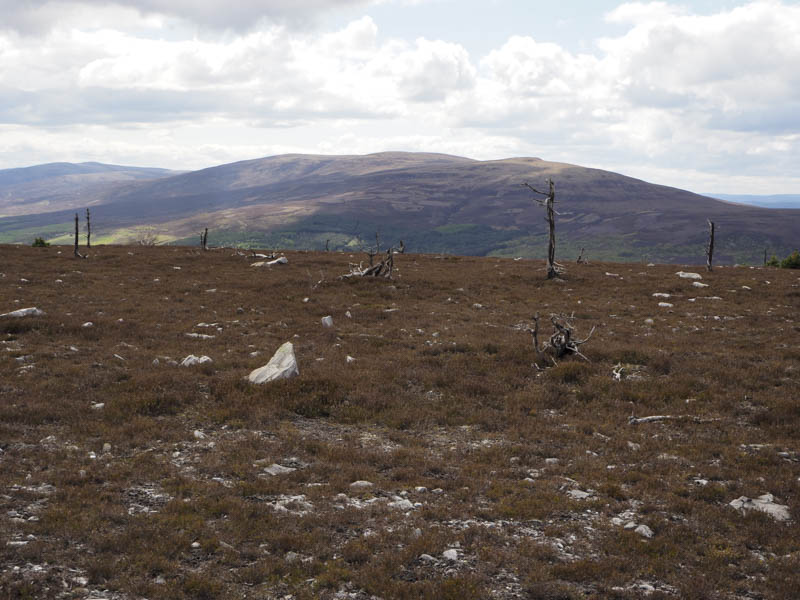
At NJ233290 I left the track and walked between mature firs and an area that had been harvested. This led to an open area of heather and saplings where I headed east to the summit of Carn Tighearn. A clump of heather was the highest point but which one!
I returned west and on reaching the mature firs descended north-west through the well spaced trees and some brash to join another vehicle track at NJ225295. This led back to the upward route and closer to the car park. The logging lorry now fully laden passed me as I headed for my vehicle.
Cairnacay – I drove to the small car park at the road end east of Auldich, accessed from the B9008 Glenlivet to Bridge of Avon Road at Mill of Tommore. I then walked south-east along a vehicle track which was part of the Speyside Way.
At a junction of tracks I went right, still on the Speyside Way, although the track deteriorated and became wet and boggy in places but at least I was gaining some height. On approaching the highest point on this track I left it, initially climbed through long heather, then higher up the ascent became easier as the heather was shorter and windswept. There were also some stunted trees before I reached the cairn marking the summit of the Tump, Cairnacay.
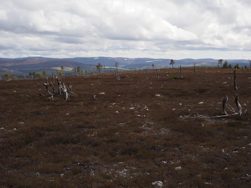
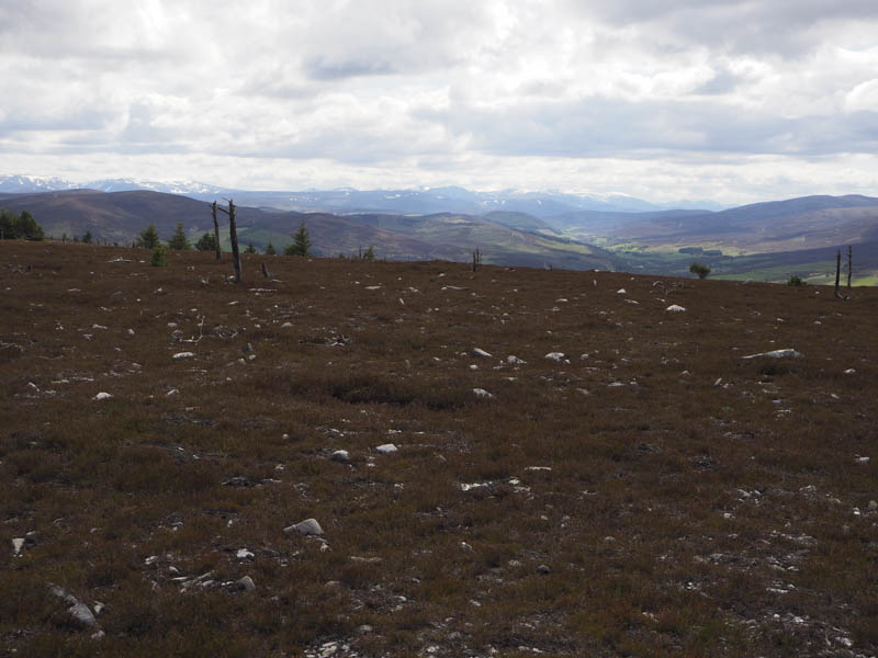
The return was down the north ridge initially through the short heather and stunted trees then lower down rock and long heather some of which had been burnt. I rejoined the vehicle track well down the glen for the short walk back to my car.
- Total time taken – 3.75 hours.
- Total distance – 14.25 kilometres.
- Total height climbed – 585 metres.