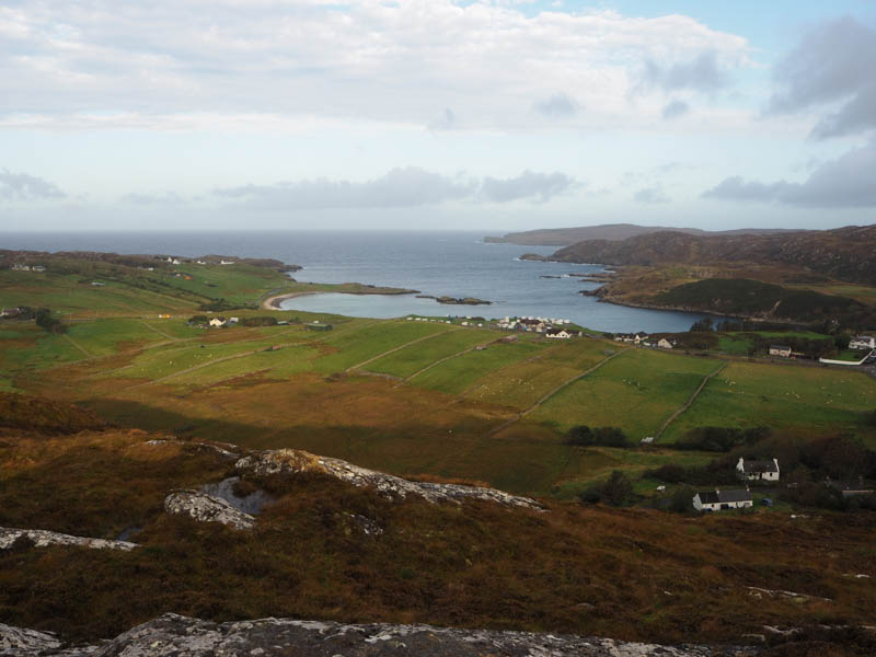
Cnoc a’ Bhuthain – Just south of Scourie on the east side of the A894 was a glass recycling centre with adequate parking beside the access road to a commercial garage. A signpost ‘Woodland Walk’ indicated the start of this walk, a wicket gate, which led onto a good path through some trees.
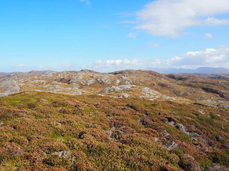
Higher up there was a signpost ‘Viewpoint Path’ which came to an end at a bench and picnic table with good views across Scourie and its Bay. It was then a short walk south-west through heather and mossy vegetation to the summit of Cnoc a’ Bhuthain. The highest point of this Tump was an outcrop which was probably higher than the base of the gorse bushes.
The return was by the upward route.
- Time taken – 30 minutes.
- Distance – 2.25 metres.
- Ascent – 65 metres.
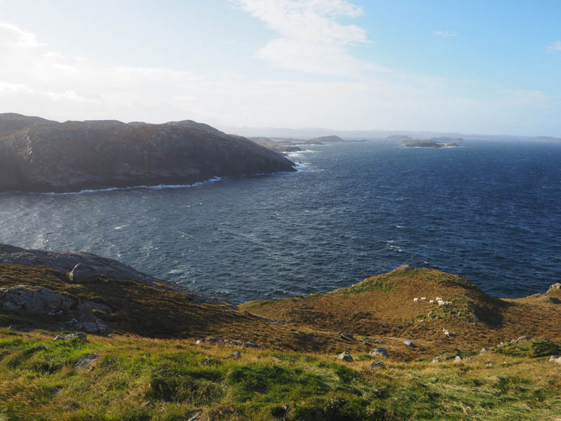
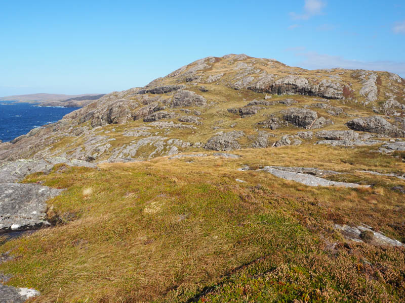
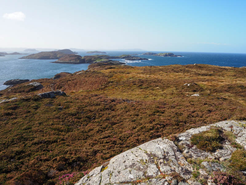
Stac a’ Mhill Dheirg – Just south of Scourie, on the west side of the A894, a narrow road gave access to some houses and a church. Parked at the start of this road, space for a single vehicle, and walked down the road which came to an end at the Free Church. A grassy track led to a stock gate, and beyond the grassy hillside with a slight loss of height. An ATV track took me onto the headland from where the summit of the Tump, Stac a’ Mhill Dheirg was reached. The highest point was an outcrop with a few rocks on top.
Returned by the outward route.
- Time taken – 30 minutes.
- Distance – 1.75 kilometres.
- Ascent – 50 metres.
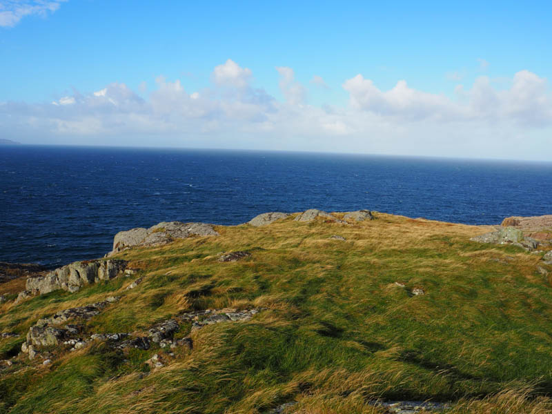
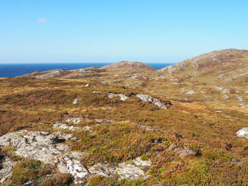
Torran nan Clach Boga – Parked at the edge of a passing place near the highpoint on the minor road to Upper Badcall, accessed from the A894 south of Scourie. Crossed the road followed by a steady climb through heather, dead bracken and grass. The gradient increased slightly on the final ascent to the summit of the Tump, Torran nan Clach Boga, marked by a cairn. The outcrop nearby appeared higher.
Back to the car by ascent route.
- Time taken – 20 minutes.
- Distance – 0.75 kilometres.
- Ascent – 65 metres.
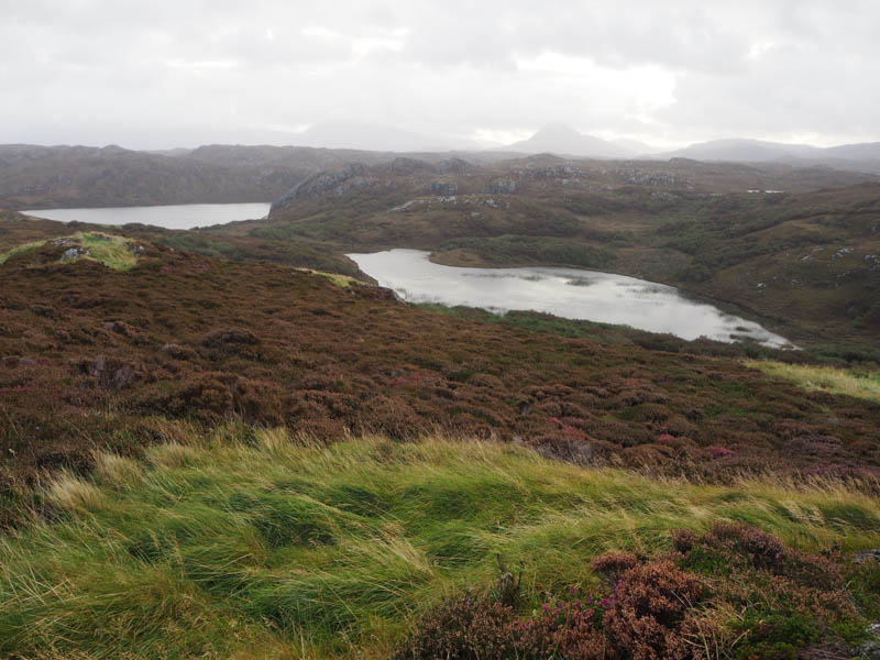
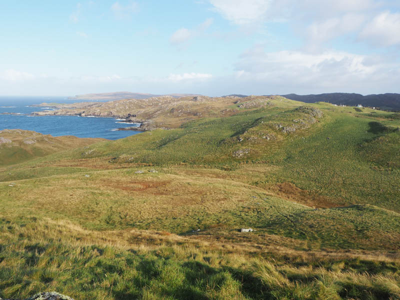
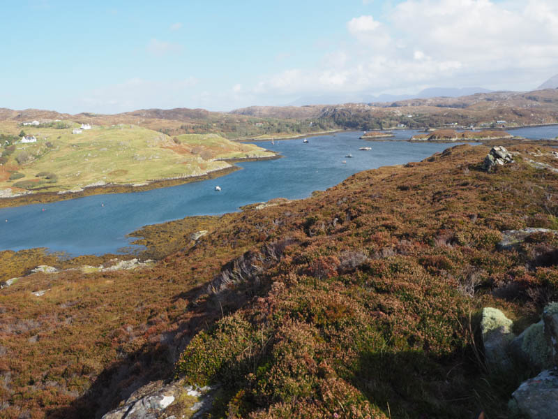
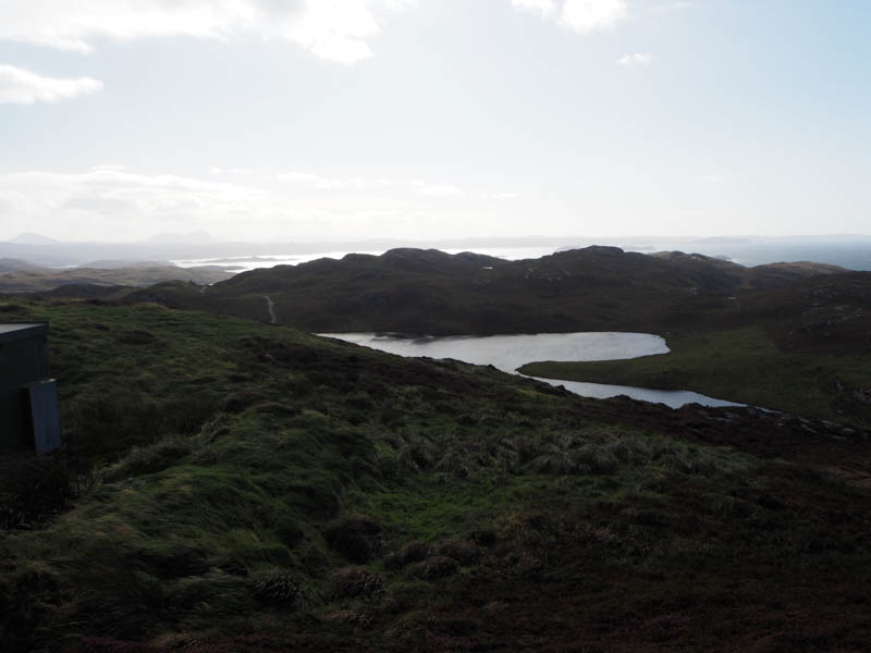
Meall nan Suithean and Rubha na Faraid – Drove to the end of the public road in Upper Badcall, reached from the A894, south of Scourie, parking on the verge north-east of the turning area. Walked north-east, went through a gate and onto some rough vegetation. Due to a technical glitch Torran nan Clach Boga, was reascended. (see above)
From this Tump, descended south-west, rough ground with lots of knolls and undulations, before ascending Cnoc an Fhir bhreige, which has no classification.
It was then a steep drop south, avoiding the outcrops, to a wet col with a stock fence to cross. It was then a steady climb onto Meall nan Suithean. The highest point of this Tump was a grassy/heathery knoll.
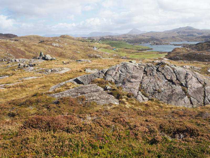
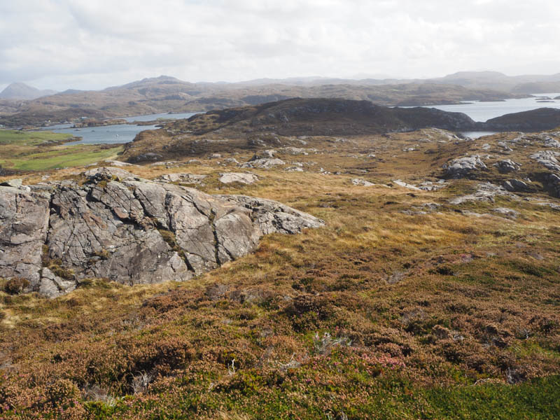
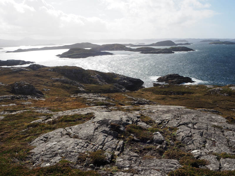
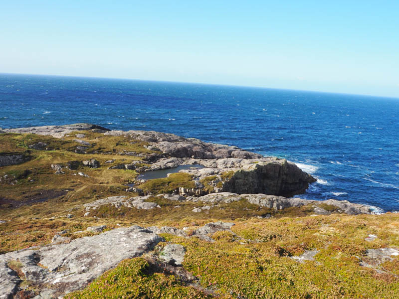
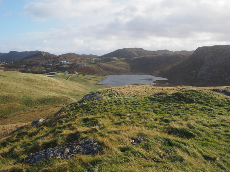
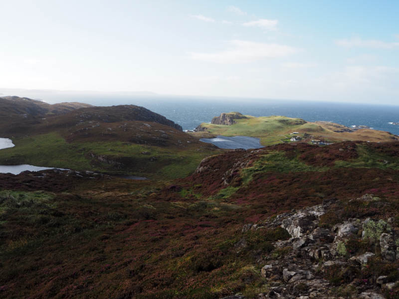
Descended south-east, rough going with some wet ground to cross before ascending the Tump, Rubha na Faraid, marked by a cairn.
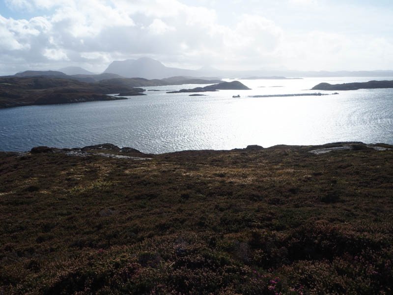
The descent NNW avoided the inlet of Badcall Bay but involved a few short steep drops, the crossing of an old fence and one topped with barbed wire, before climbing through rough vegetation to reach the private road south-west of where had left the car.
- Time taken – 2 hours 25 minutes.
- Distance – 4 kilometres.
- Ascent – 425 metres.
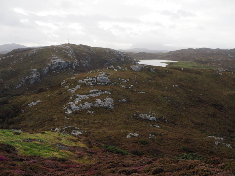
Cnoc an Daimh – Parked at the start of the minor road to Upper Badcall, south of Scourie, crossed the A894 and onto a rough vehicle track heading north-east. Beyond a gate in a deer fence there were a couple of boggy areas before reaching the radio mast. A nearby heathery knoll appeared to be the highest point of the Tump, Cnoc an Daimh.
The return was via the track.
- Time taken – 50 minutes.
- Distance – 1.5 kilometres.
- Ascent – 50 metres.