Note – Due to a lens malfunction all photos are in zoom mode.
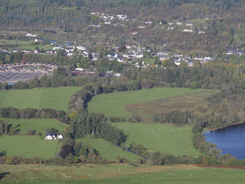
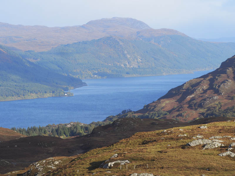
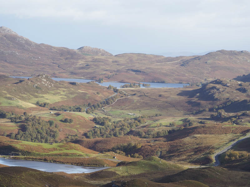
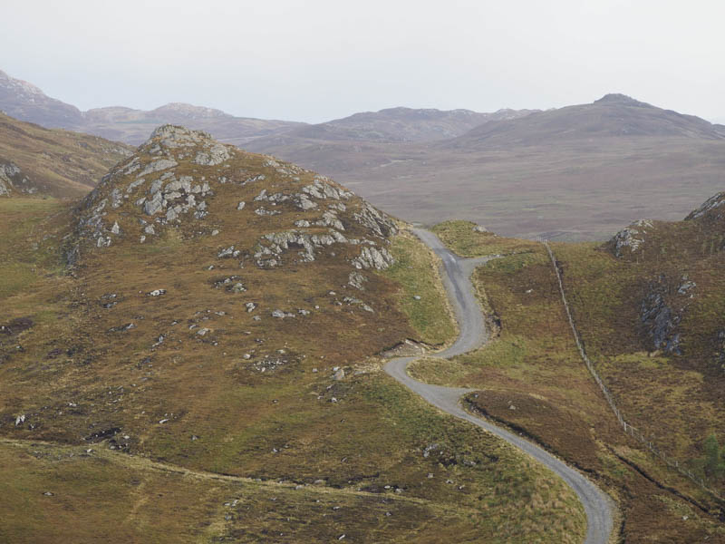
I left my car beside the cattle grid on the B862 Fort Augustus to Whitebridge Road, west of Fort Augustus, (NH40690884) and walked south-west along the South Loch Ness Trail to the rather wide vehicle track, the access route to Glen Doe Reservoir and Wind Farm. This track was followed south to just before the Allt an Reidhean Reservoir (NH40470825) where I left the track and headed south-west along an estate track below Borlum Hill.
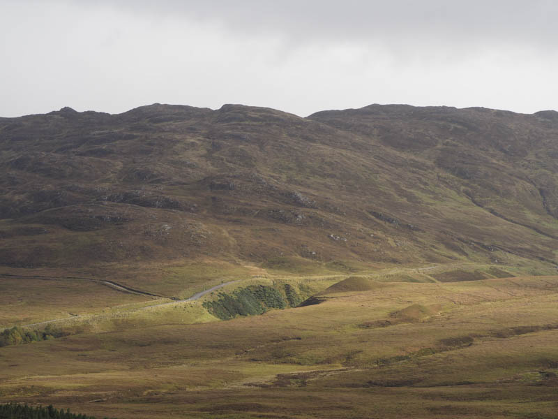
This track soon became wet and muddy as there had been an extraction of stone creating small quarries at the side of the track. It appeared this was in connection with a new vehicle track to the south of Borlum Hill.
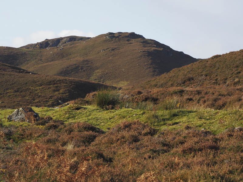
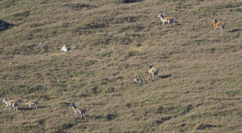
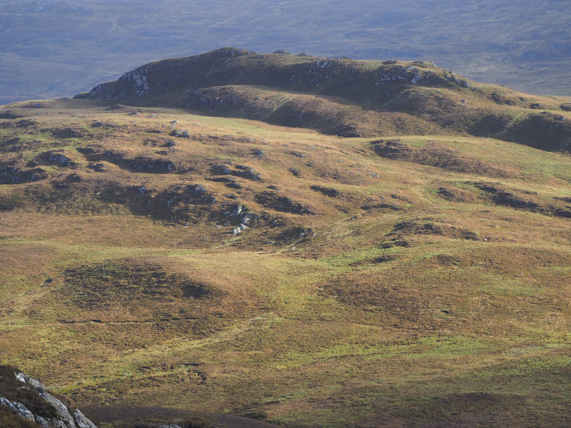
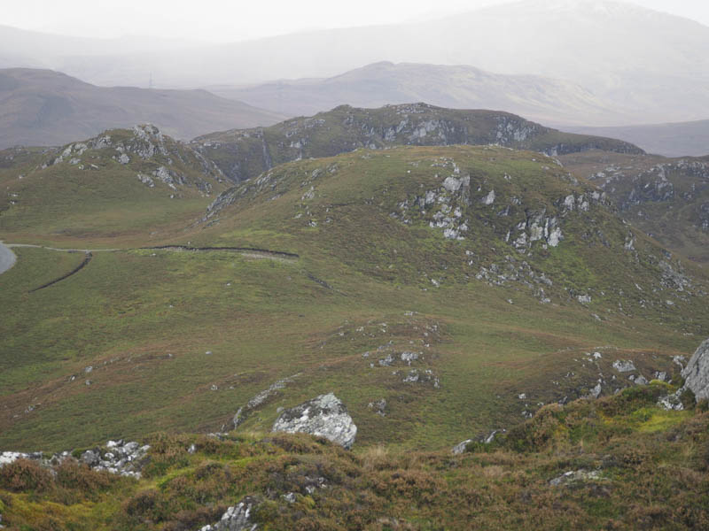
Near the end of the estate track I left it and climbed onto the north-east ridge of Creag Ard Achaidh North Top then through heather, a swathe had been cut, and onto the summit of this Tump which appeared to be at the south end and marked by a mossy outcrop. I found some shelter from a cold wind and took a break here listening to the roaring of the stags.
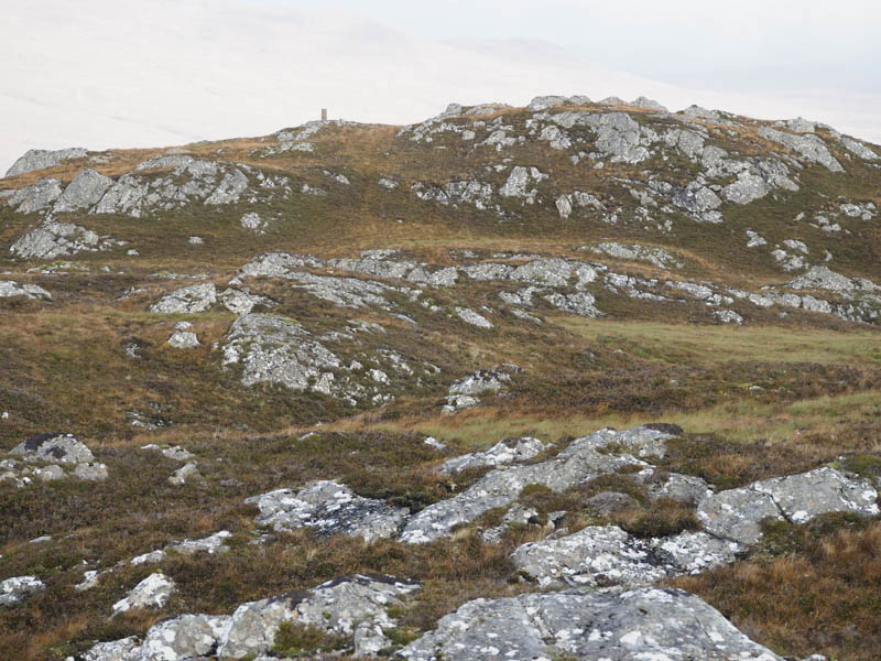
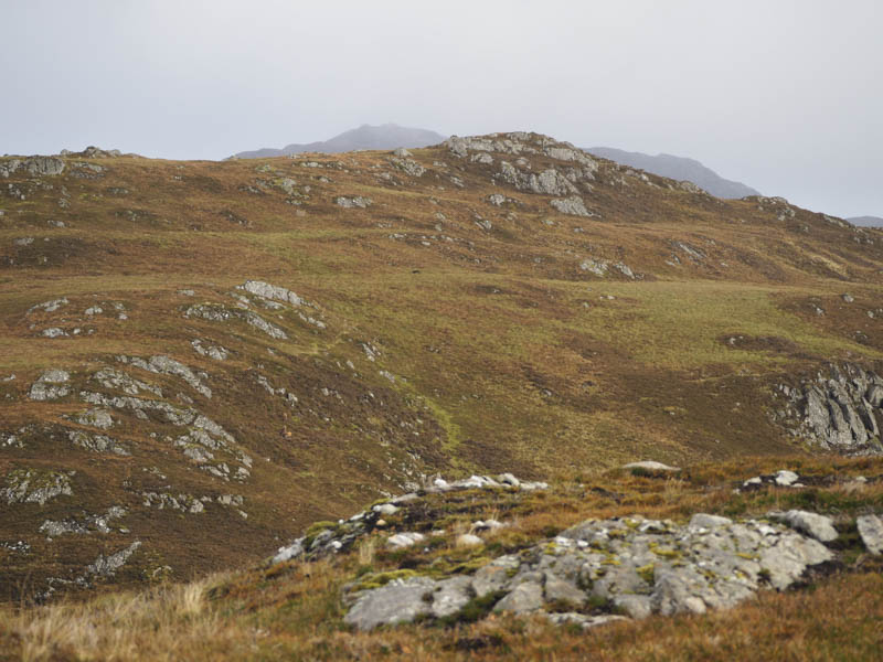
I then descended south-west, crossed a short section of bog and climbed to the concrete pillar which I discovered later wasn’t a trig point but part of a Great Glen Project. There was then a short loss of height before climbing to the summit of the Tump, Creag Ard Achaidh, marked by a stone on an outcrop.
From there I descended south-east, fairly steeply at times with some crags to avoid, then there were a few undulations before commencing the ascent of Fuaran Doire Cluig. En-route I came to a stock fence topped with an electric wire. I used my plastic survival bag to aid the crossing which worked if the wire was in fact live. I didn’t fancy testing it! A grassy rake took me onto the summit of Fuaran Doire Cluig where the highest point of this Tump appeared to be a grassy/mossy outcrop.
The descent north-east led to an estate track near a gate in the stock fence with the electric wire. Once through this gate I continued north-east along this track to near its highpoint where I left it and climbed through heather to the summit of the Tump, Carn na Saobhaidhe South Top, a rock on an outcrop.
It was then a short easy walk north onto Carn na Saobhaidhe where the highpoint of this Tump was an outcrop.
I thereafter descended north-east to rejoin the estate track which in turn joined the Glen Doe ‘motorway’ at NH41390711. This vehicle track was followed back to the point where I left it earlier in the day then I retraced the outward route back to the start.
- Time taken – 5 hours.
- Distance – 12.75 kilometres.
- Height climbed – 555 metres.