The starting point for this walk was a lay-by on the minor road south east of the Culloden Battlefield, (east of Inverness) and just west of the access track to Finglack Farm. I walked up this vehicle track, which passed the properties to the west, then ran through woodland onto the open hillside.
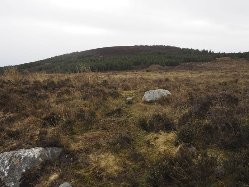
Keeping left at a couple of junctions I eventually arrived on the east side of the Tump, Beinn Bhuidhe Mhor, a short walk on a dry peaty path from its trig point.
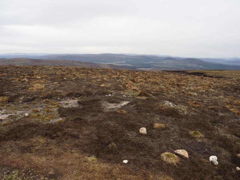
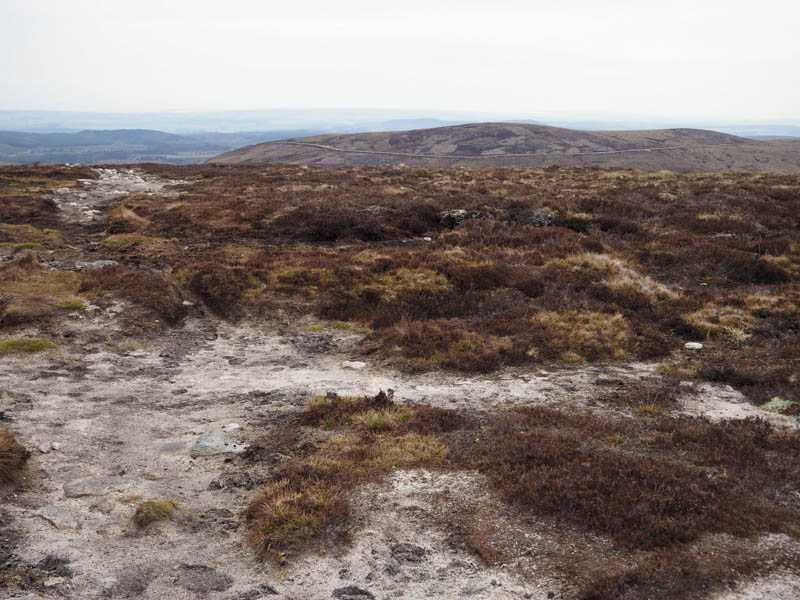
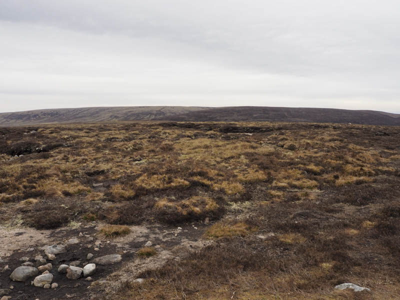
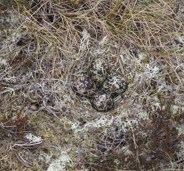
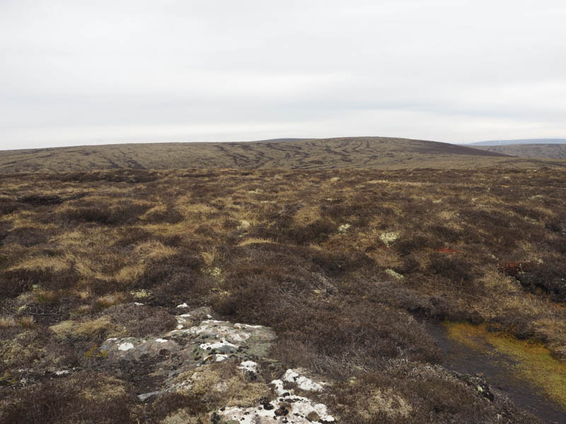
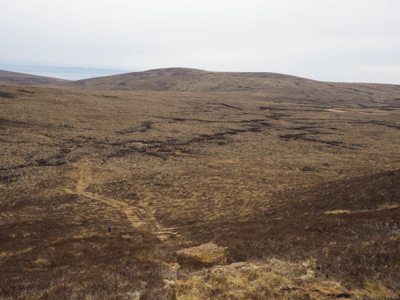
After visiting the trig I returned to the vehicle track and followed it briefly south-east before leaving it and walking east on an ATV track which soon disappeared amongst the rough and boggy vegetation. Later I came across another ATV track, mossy and boggy this time, which ran passed shooting butts and to the rather boggy col below Carn Dubh Mor. The ATV track then continued south up the side of more shooting butts before near the summit of Carn Dubh Mor was lost amongst the vegetation. On approaching the summit I disturbed a Golden Plover on its nest. I was unable to establish the highest point of this Sub Dodd.
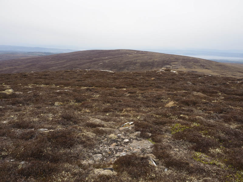
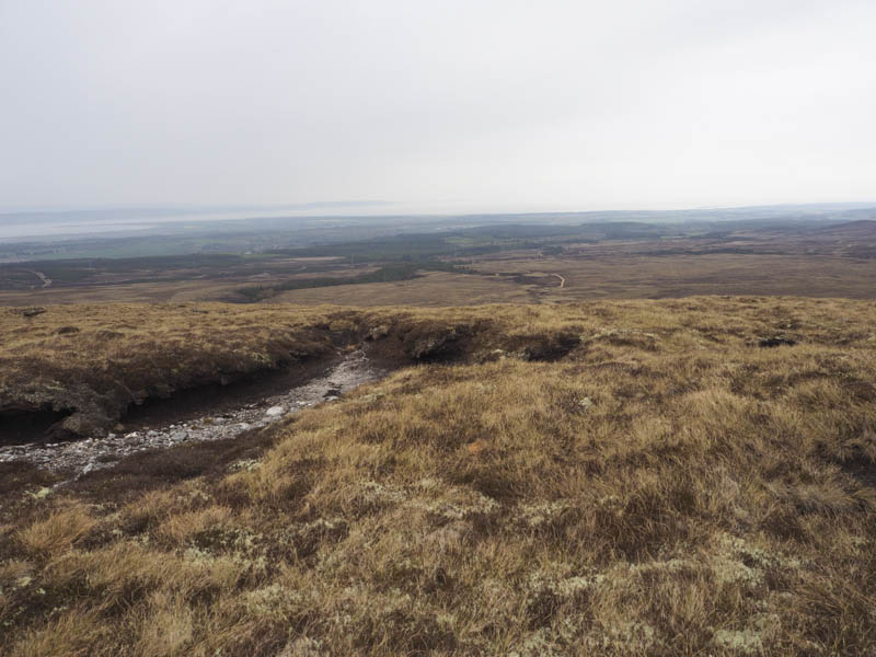
I headed back to the col, went through a few peat hags then some mostly dry mossy and heathery ground, although it started to rain as I walked north towards Carn a’ Choire Odhair. I came across a stock fence covered in rabbit wire which I later crossed before climbing through more peat hags to reach the summit of this Tump.
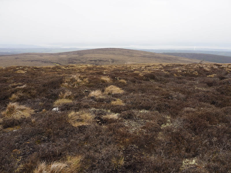
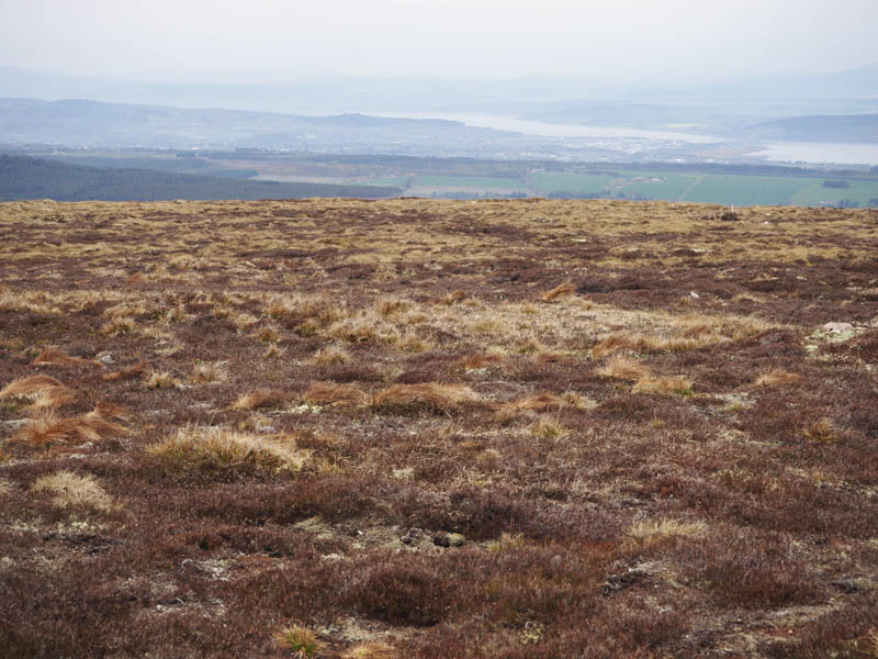
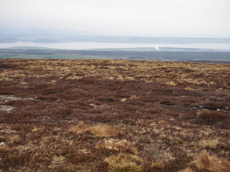
From there I descended north-west through some long heather to cross the Allt na h-Athais. The banking on the other side was rather steep then the stock fence was crossed again before ascending Beinn Bhuidhe Bheag. The route continued in a north-westerly direction, descending fairly steeply for a while, crossing another stock fence covered in rabbit wire, to reach the track on the south side of Saddle Hill. I climbed through heather to above the crags then through well spaced trees to the summit of this Tump, although again I couldn’t say where the highest point was.
I returned to above the crags and located a path to the vehicle track that I had crossed on the ascent. This track was followed west to rejoin the upward route which was retraced back to the start.
- Time taken – 5 hours.
- Distance – 16 kilometres.
- Height climbed – 655 metres.