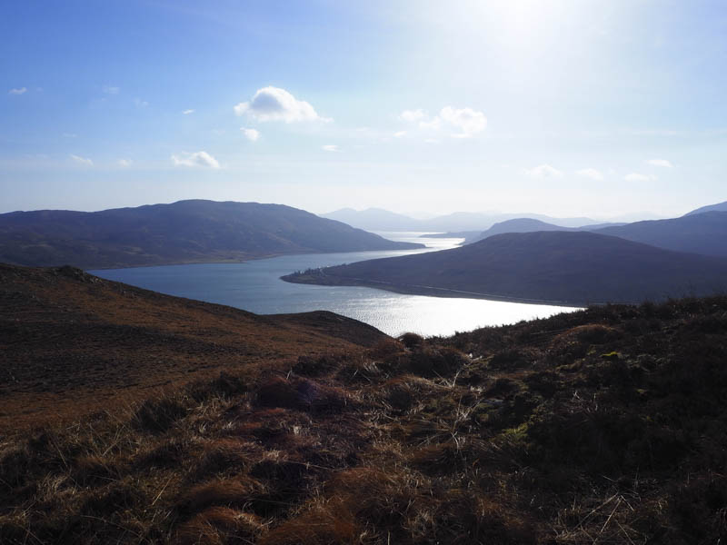
Leathad Chrithinn, Leathad Chrithinn North-Eat Top and Druim nan Cleochd – I had firstly intended climbing the Hump, Creag Strollamus, but missed the starting point. Due to the volume of traffic on the A87 Broadford to Sligachan Road I decided to continue to my next set of planned hills, located north of Loch Ainort, rather than look for a turning point.
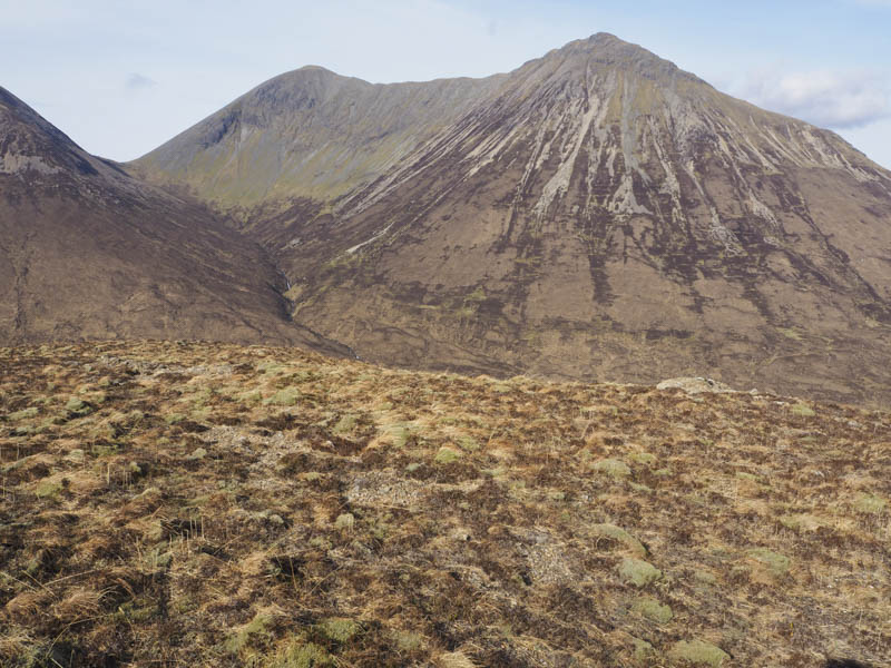
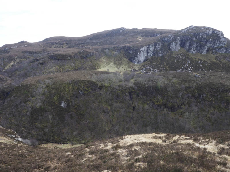
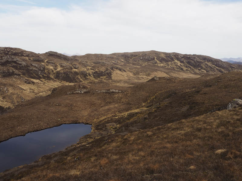
West of Luib I turned off the A87 and drove along the minor road towards Maol which had several potholes and turned out to be closed further east, apparently long term due to a landslip. I parked on the south verge, west of a cottage and large agricultural shed, and walked towards the cottage before crossing some wet and boggy ground to reach the rear of the property. It was then an easy climb north-east across short dead vegetation, buffeted at times by the wind. A cairn on the summit of the Tump, Leathad Chrithinn, was reached but ground to the west appeared higher.
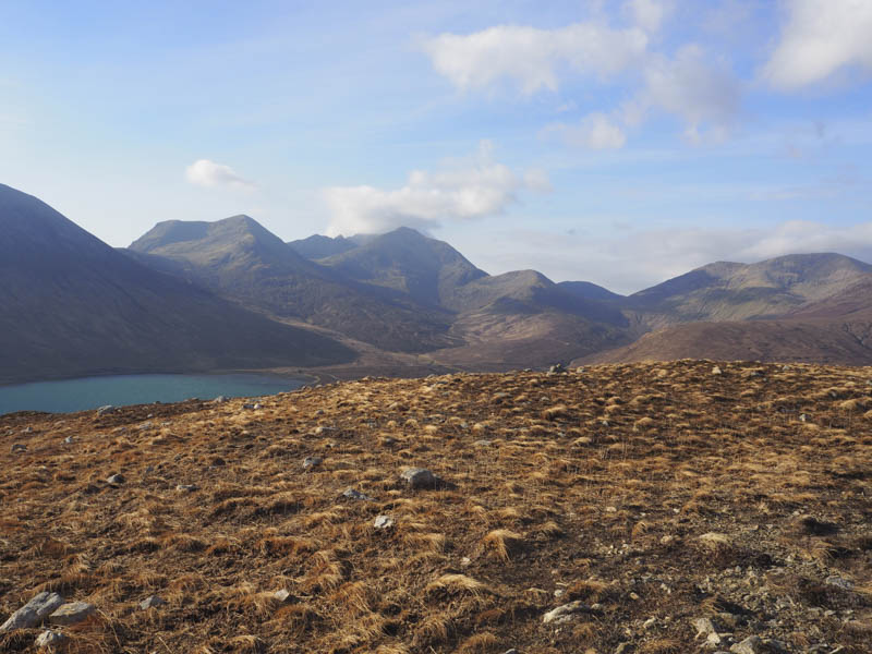
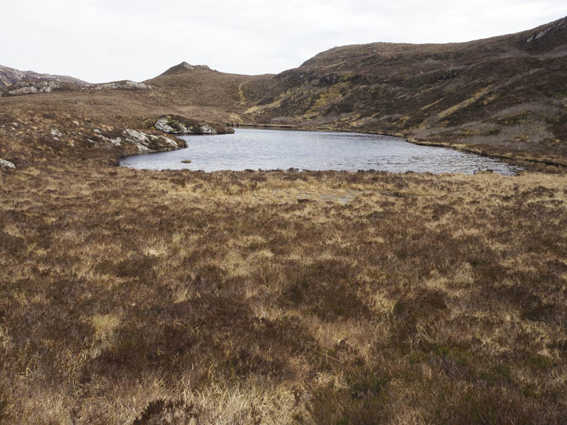
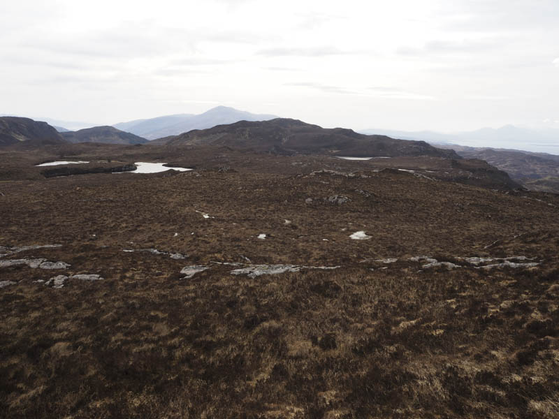
The descent north-east to the col and lochan and the climb to the summit of Leathad Chrithinn North-East Top would have been an easy stroll if it hadn’t been for the wind. The highest point of this Tump was marked by a cairn.
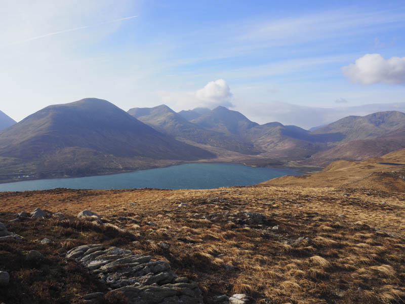
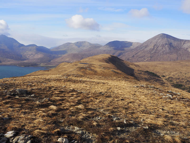
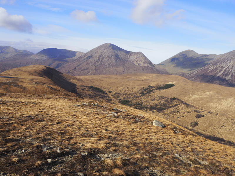
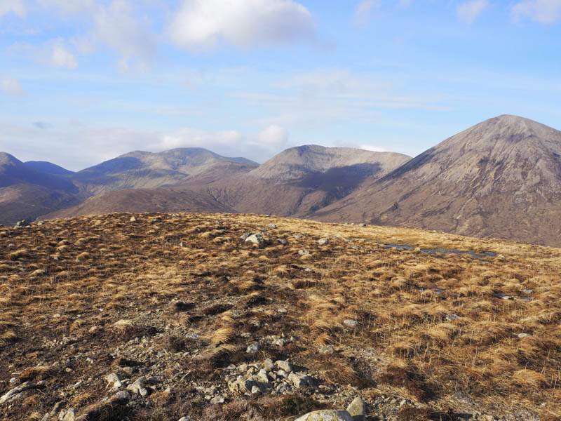
I returned towards the col, keeping below the ridge to get some shelter from the wind, before descending west to some well spaced trees which turned out to be black and probably dead as a result of a fire. I crossed the Moll River, it was only a small stream, and climbed north-west onto Druim nan Cleochd, the summit of this Tump was marked by a small cairn.
The descent south back to the cottage and my car was into a headwind, through some rough and soft vegetation, and across a gully making for a slow return.
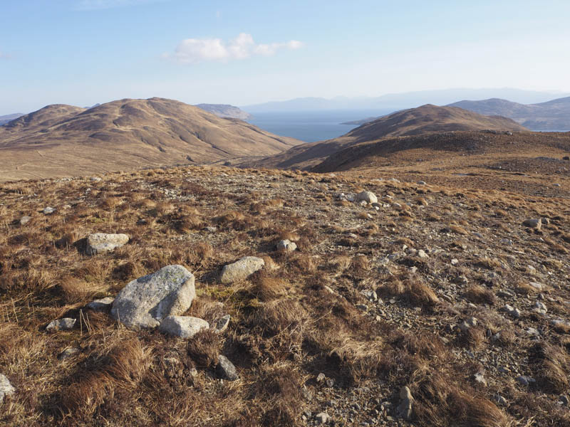
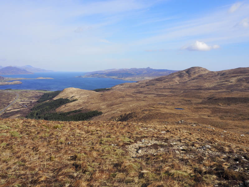
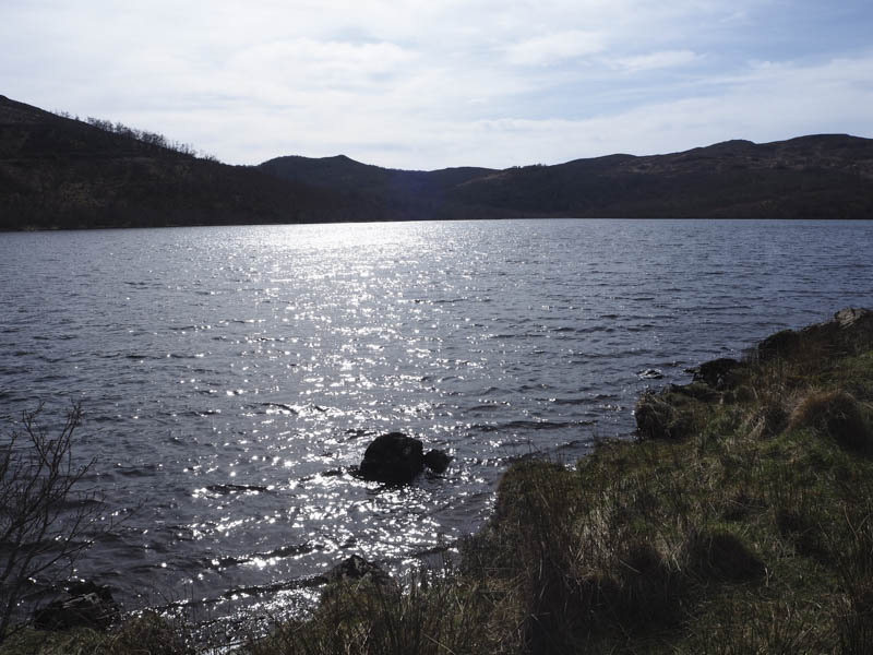
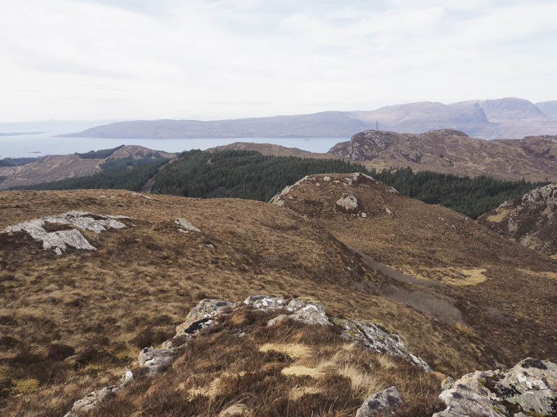
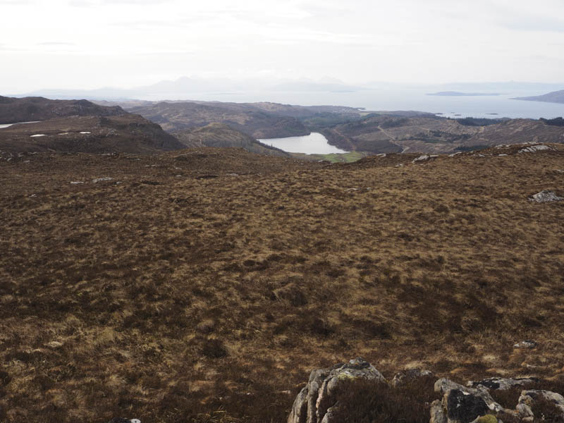
Carn an t-Saighder – Due to the windy conditions I abandoned plans to climb some other Skye hills and returned to the mainland to climb the Tump, Carn an t-Saighder. I drove along minor roads east of Duirinish, through the hamlet of Achnandarach, along the side of Loch Achaidh na h-Inich to the road end. There was only a small turning point here so I returned along the road and parked at the side of the loch.
I walked back to the road end, went through a gate in the deer fence, and onto a forest track which soon joined a wider and newer track replacing the path shown on my map. The forest track later descended to a bridge over the Allt a’ Ghleannain Durich but there was no sign of the path which was shown on my map located on the north side of this stream. I left the forest track and walked east through small deciduous trees, mossy and wet ground, with no sign of the path. It wasn’t practical to continue through this area so I headed north to the edge of mature fir trees.
The walk along the edge of these trees was easier and at a firebreak I followed it north-east. It was boggy in places with a few old fallen trees and was used by deer. Eventually I left the firebreak and walked east through the mature firs and out of the forest. On crossing an old deer fence I initially climbed steeply east then round the south side of Letter Hill before descending into Gleannan Dorch, where I crossed a stock fence and the Allt a’ Ghleannain Durich.
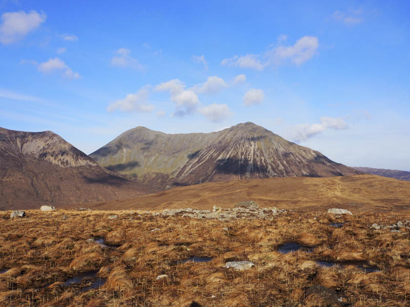
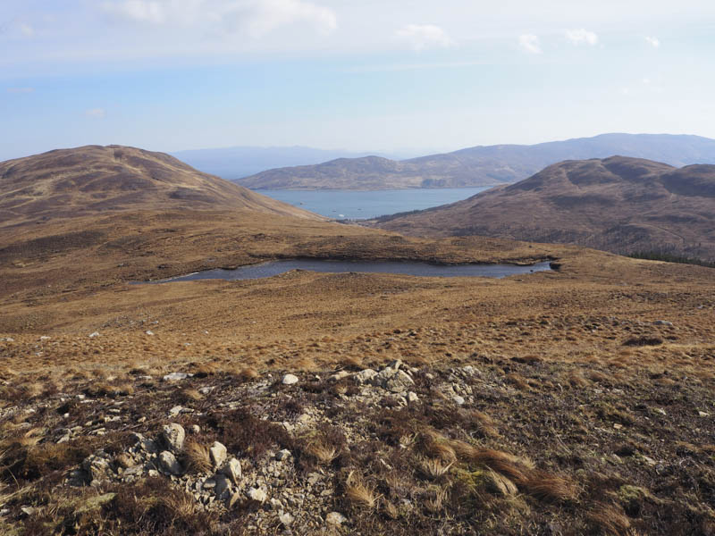
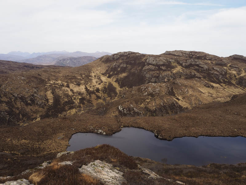
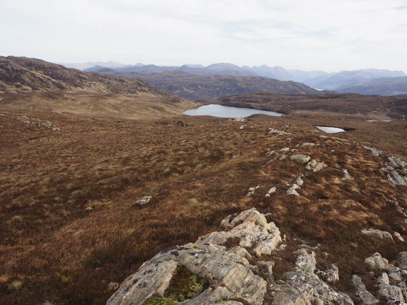
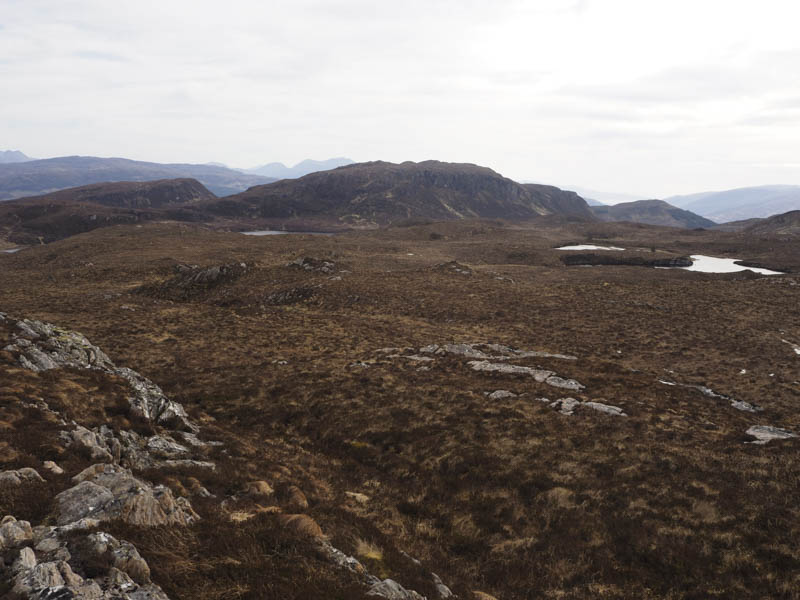
It was then a steepish climb to Loch Carn an t- Saighdeir where the gradient eased as I headed to the summit of Carn an t-Saighder visiting two possible highpoints, outcrops.
The return took me back to the stock fence in Gleannan Dorch where there were traces of a path. I descended east through Gleannan Dorch although the path wasn’t always obvious especially through the trees. It later joined an old vehicle track but was swampy with the tracks full of water and at times blocked by fallen trees. Despite these conditions the walking, mostly along the edge of the track was easier than the approach route. The track later crossed the Allt a’ Ghleannain Durich and emerged onto the forest track south of the bridge, hence the reason I failed to locate it on the outward route. I then returned along the tracks to Loch Achaidh na h-Inich.
- Total time taken – 5.5 hours.
- Total distance – 13 kilometres.
- Total height climbed – 705 metres.