Cnoc a’ Phreasain Challtuinne – The start of this walk was the junction of the minor signal track road to Tarbet and the similar type road to Foindle, north of Scouire and west of the A894. There was space for a single vehicle to the east of the junction.
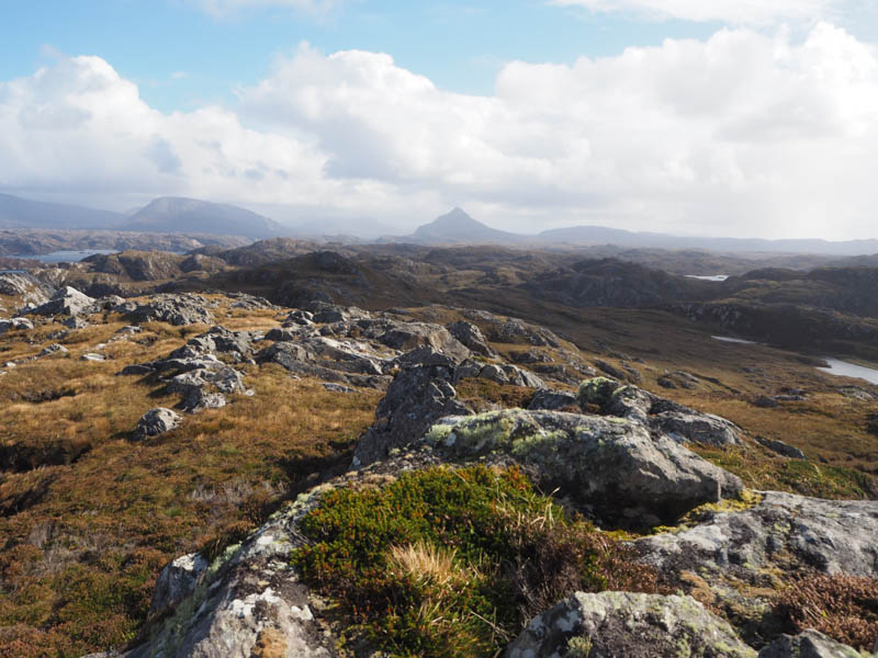
Went through a stock gate and along an old ATV track which soon disappeared. There were a few crags to avoid on the ascent, across mainly heather and rock, to the summit of the Tump, Cnoc a’ Phreasain Challtuinne, marked by a moss-covered outcrop.
The return was by the ascent route.
- Time taken – 35 minutes.
- Distance – 1.25 kilometres.
- Ascent – 45 metres.
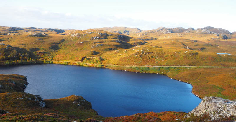
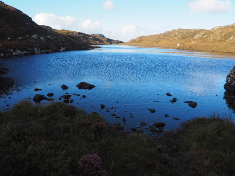
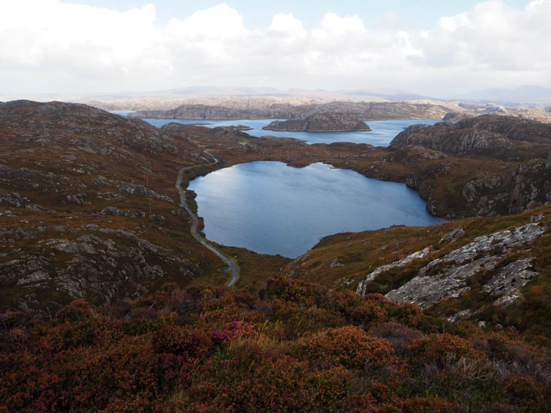
Mullach na Creige Deirge and Achadh nam Brac – On the peninsula north of Scourie and reached from the A894, parked in an extended passing place on the south-west side of the minor single-track road to Tarbet, opposite Loch nam Brac.
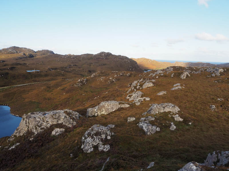
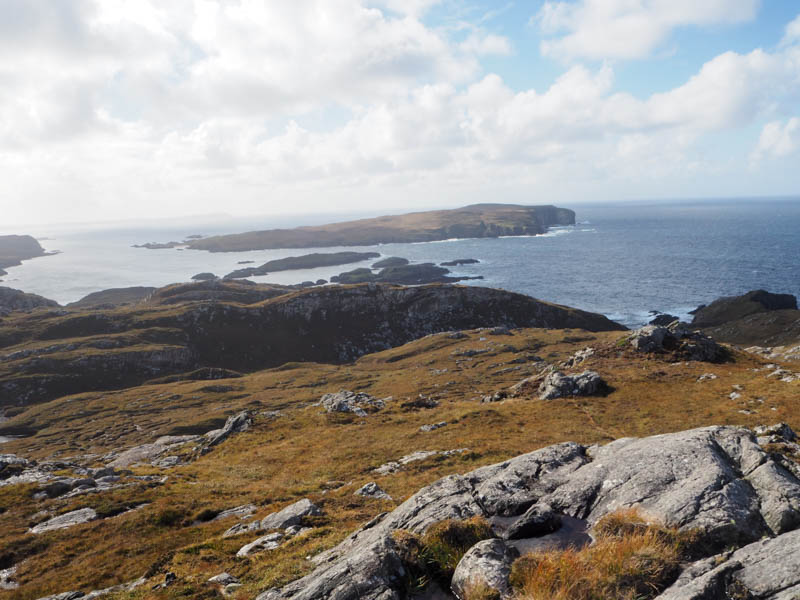
Walked briefly south-east along the road before leaving it, crossed a ditch and climbed a steep embankment of heather, dead bracken and bramble bushes. The gradient soon eased through heather, avoiding the odd crag, and occasionally using deer tracks. On approaching the summit of Mullach na Creige Deirge heard a few rifle shots but unable to determine their direction. A few deer had been disturbed on the ascent. The summit of this Tump was marked by an outcrop.
Didn’t spot anyone so descended steeply through a gully to the east end of Caol Loch.
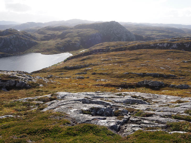
With the aid of the occasional deer track climbed Achadh nam Brac. The summit of this Tump was a moss-covered cairn on an outcrop.
Descended east, initially on some deer tracks, then it was rough going to reach the Tarbet Road followed by a short walk back to the car.
- Time taken – 1 hour 10 minutes.
- Distance – 2.5 kilometres.
- Ascent – 105 metres.
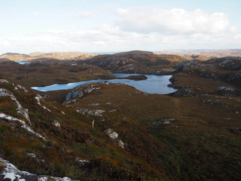
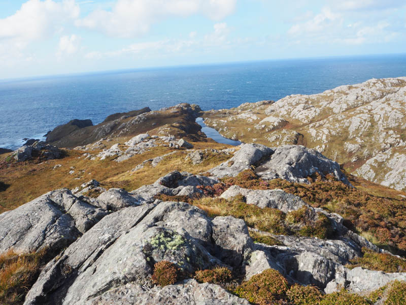
Cnoc Loch nam Brac – Moved the car north-west to a better parking area near the west end of Loch nam Brac. Walked to the end of the Loch, crossed the outflow, ground a bit rough here, then a steady climb through heather and grass, avoiding the rocks, to reach the summit of the Tump, Cnoc Loch nam Brac. The highest point was an outcrop.
After sitting here for a while returned by the upward route.
- Time taken – 50 minutes.
- Distance – 1 kilometre.
- Ascent – 45 metres.
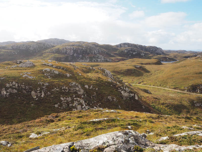
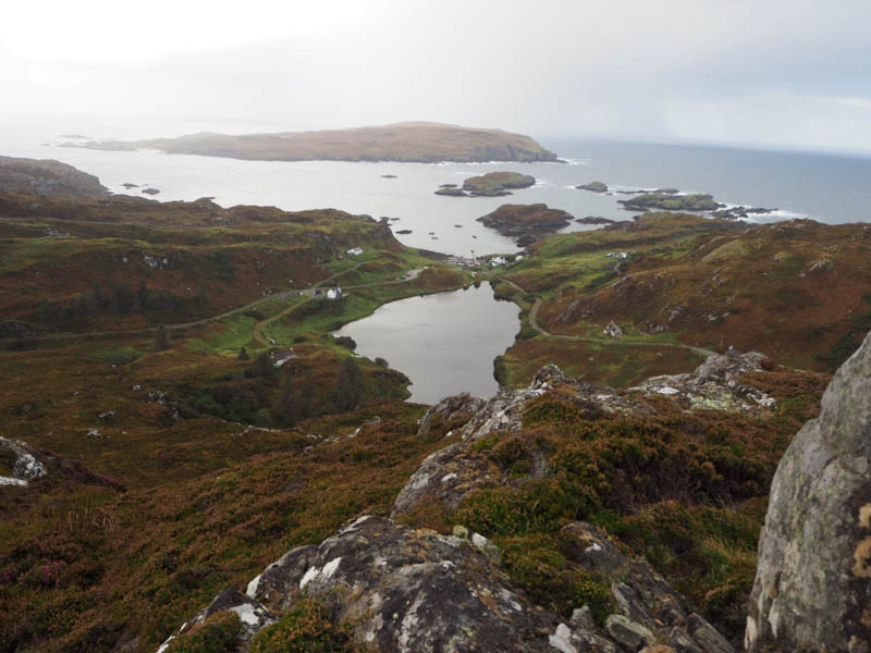
Cnoc Tigh Adhamh – It was a short drive round to the Tarbet/Fanagmore Road to climb Cnoc Tigh Adhamh. A north-westerly approach wasn’t possible due to crags. Small stakes and cord blocked off the obvious parking area, the estate reserving it for access to their boat on Loch Gobhloch. The road was very quiet so took a chance and left the car in a passing place, didn’t intend being long.
Walked back along the road to the south end of Loch Gobhloch, then a rough path along its south side led to a small boat tied up there. This was followed by a steep climb across grass and heather, through a gap in the crags, onto the summit of Cnoc Tigh Adhamh during a rain shower. The highest point of this Tump was a cairn on an outcrop.
The return was by the ascent route.
- Time taken – 55 minutes.
- Distance – 1 kilometre.
- Ascent – 75 metres.
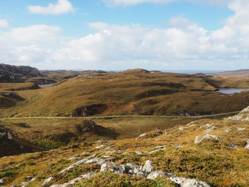
Cnoc an t- Sabhall and Cnoc Gorm – Moved the car along the Tarbet to Fanagmore Road to the north end of Loch Gobhloch managing to get it off the road at another roped off area.
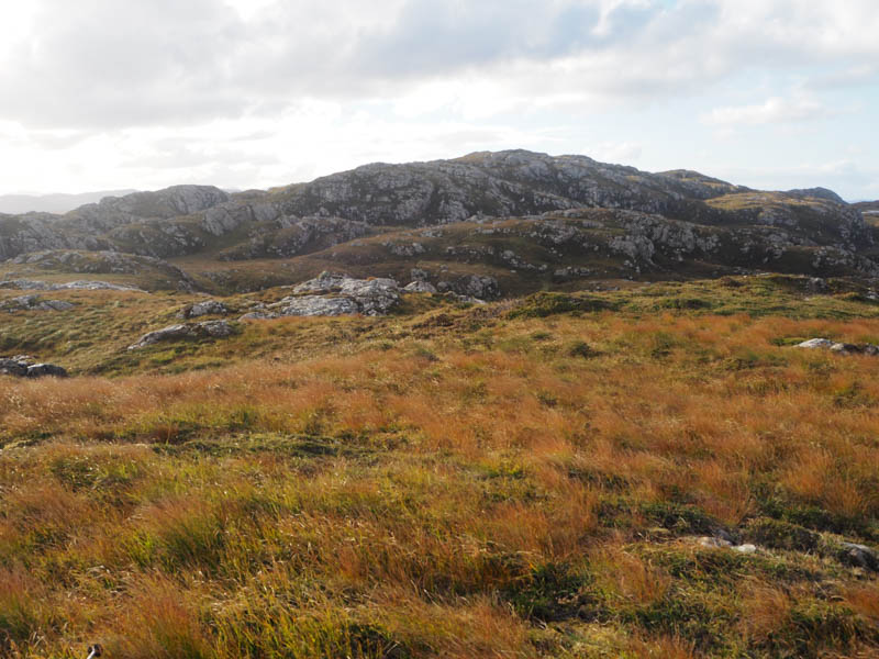
Crossed the road and climbed steeply through dead bracken and heather, the gradient later easing, now rough grass and some rocks, onto the summit of the Tump, Cnoc an t-Sabhall. The highest point appeared to be a rock.
Continued in a WNW direction descending through grass and rocks before climbing to the rocky summit of Cnoc Gorm. The highest point of this Tump was a pile of rocks.
After another break returned to Cnoc an t-Sabhall, by-passing it to the south, before descending to the car.
- Time taken – 1 hour 20 mintes.
- Distance – 1.75 kilometres.
- Ascent – 125 metres.
Cnoc Lochan na Ba Ruaidhe – Parked opposite Lochan na Ba Ruaidhe on the minor Fanagmore to Foindle Road and climbed steeply through long heather and dead bracken. The gradient eased for a while before steepening again to reach the summit of the Tump, Cnoc Lochan na Ba Ruaidhe. The highest point was a lichen covered cairn.
The return was by the approach route.
- Time taken – 25 minutes.
- Distance – 0.5 kilometres.
- Ascent – 40 metres.