Tom a’ Chait and Craggan More – I parked on the grass verge at the south side of the A95 Grantown on Spey to Aberlour Road adjacent to the vehicle track leading to the radio mast on Tom a’ Chait. (NJ147347)
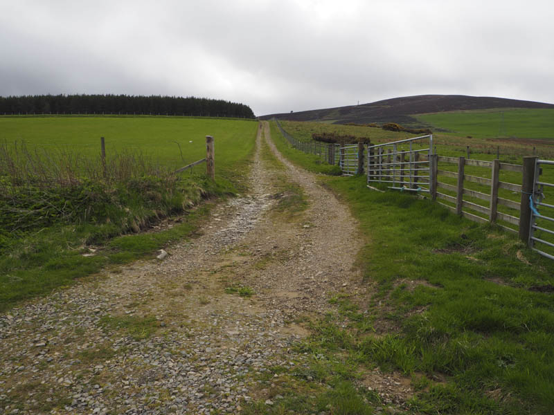
I then walked up this track passing through four fields, the final one containing sheep. Thereafter the vehicle track zigzagged to the radio mast with the cairn marking the summit of this Tump to the east.
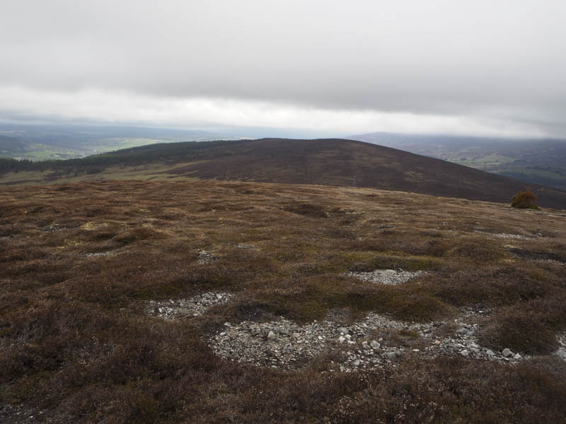
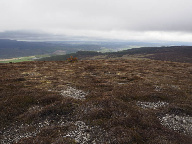
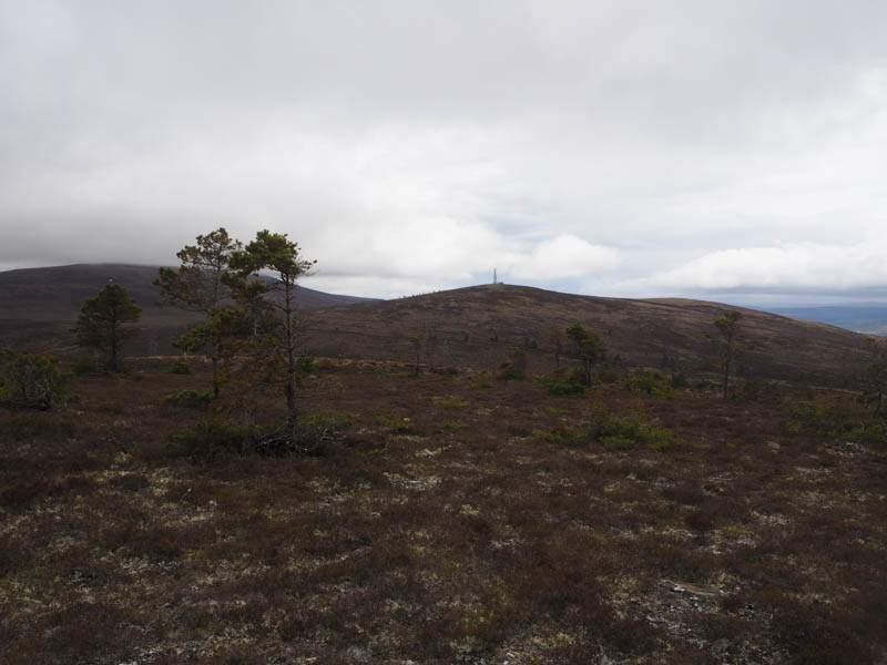
From there I descended north-east through a mixture of heather, moss, grasses and tussocks to the col with Craggan More. Its ascent was through heather and wet ground following what may have been an old track now overgrown. On approaching the summit of this Tump the heather was shorter although the highpoint of Craggan More was one of the long clumps of heather.
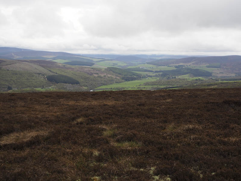
The descent took me west through more rough vegetation and to the vehicle track where it entered the field of sheep. I then returned down the track to the start.
Tomfarclas Hill – I left my car beside the ruined building at Tomnaglein, on the minor road south of the A95 Grantown on Spey to Aberlour Road and the Glenfarclas Distillery and walked briefly west along the road. I then entered the grassy, mossy floored wood, where the trees were well spaced, following the edge of a stone dyke. Mature firs were reached and were closer together with strips of trees cut to create breaks although the brash was just left lying on the ground. This made for hard work to reach the distinct bump marking the summit of this Tump before retracing my route.
- Total time taken – 2.5 hours.
- Total distance – 6.5 kilometres.
- Total height climbed – 350 metres.