York Tower – This Tump was located west of Elgin and south-west of the junction of the A96 Elgin to Forres Road and the B9013 to Burghead. I parked at the west side of the minor road to the east of the hill then climbed fairly steeply through the well spaced trees with the ground covered in dead leaves.
The gradient soon eased with traces of a path running through the dead bracken with diversions for a few fallen trees. A slightly steeper climb led to the summit of York Tower.
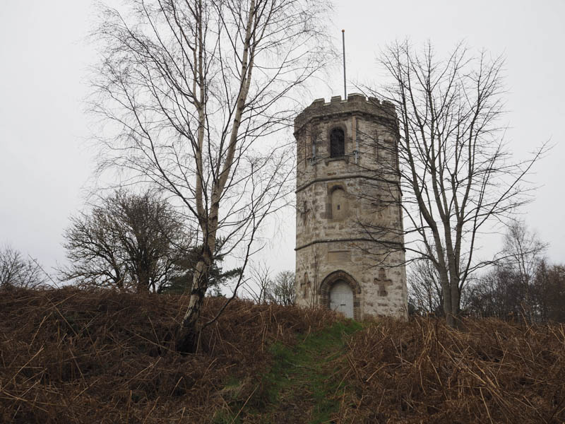
After walking round this structure I returned by the approach route.
Quarrywood Hill – This hill was also located to the west of Elgin but north-east of the junction with the A96 Elgin to Forress Road and the B9013 road to Burghead. I left my vehicle in the forest car park located just off the minor road to the west of this Tump.
I walked east along the forest track on a slight elevation until near its highpoint where I left it and headed north-east on a path come mountain bike trail which led to the trig point marking the summit of this hill.
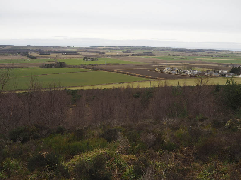
The return was by the upward route.
Tappoch – Located in Roseisle, south-east of Burghead, this Tump was climbed from the minor road to the south. I obtained permission to park at East Bank Farm, Bank of Roseisle, then walked north up a farm track at the west side of a ploughed field. This took me into a wooded area with several wide fire breaks. I followed a faint path through one of these firebreaks to reach the summit of Tappoch, crossing an old fence to reach the trig point.
I then re-traced my route back to the car.
Plewlands Hill – I parked beside the gate at the start of the tarred road on the north side of the B9040 Hopeman to Lossiemouth Road, east of Plewlands Farm. It would have been possible to drive the route described as the gate was open and although there was a padlock vehicles had obviously been driven around the gate.
I walked north along the tarred road to a junction then west passed an MOD building still on a tarred road.
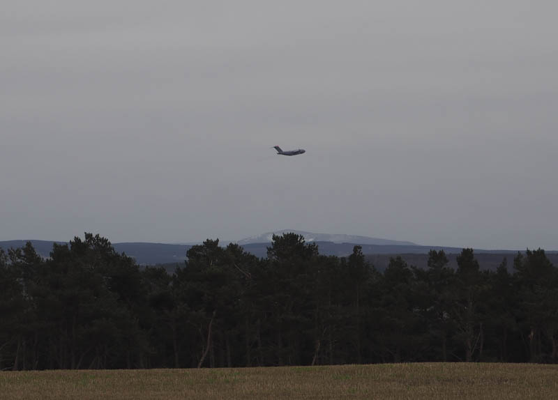
At a second MOD building, presumably related to the nearby airfield, the road came to an end. I walked round the perimeter of this building then through a few gorse bushes to reach the trig point and the summit of Plewlands Hill.
I returned by the ascent route.
Binn Hill – I left my vehicle in the parking area at the side of the minor road west of Garmouth and walked north-west then north along a forest track. At a junction of tracks I briefly walked east to another junction and here headed north again on a narrower and steeper track. At its highest point I left the track and entered the well spaced trees for the short stroll to the summit of the Tump, Binn Hill. The actual highest point wasn’t obvious so I wandered about a bit before returning to my car by the ascent route.
- Total time taken – 2.5 hours.
- Total distance – 8.75 kilometres.
- Total height climbed – 255 metres.