From the A82 at Drumnadrochit I drove south along the minor road above Loch Ness with no views as visibility was down to below 100 metres due to the mist. At the end of the public road near Grotaig I left my vehicle in the car park there although it appeared to have been reduced in size due to a new vehicle track for lorries entering the adjoining forest.
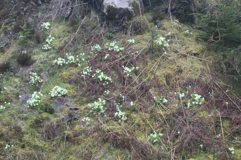
I set off along the Great Glen Way (GGW) initially losing some height and heading in the wrong direction to a bridge over the Grotaig Burn passing someone camping nearby, although there was no movement. The GGW path then turned SSW through mature trees with visibility still below 100 metres, not that it made any difference as there wasn’t much to see other than the trees. There was a diversion for tree felling before joining a vehicle track at NH47962224.
This undulating route continued to a junction of tracks at NH46612072 where there was a choice for the GGW walkers, a low or higher more scenic route, although there was nothing to see in these misty conditions. I took the latter with the vehicle track ending at NH45882010 to be replaced by a path which climbed steeply north before turning south-west with the gradient easing.
At NH45672007 the path came close to a deer fence and the open hillside so I left the path, climbed over the deer fence and commenced the ascent of Creag Dhearg through heather. After around 300 metres I reached the summit of this Tump, a mossy/heathery rock.
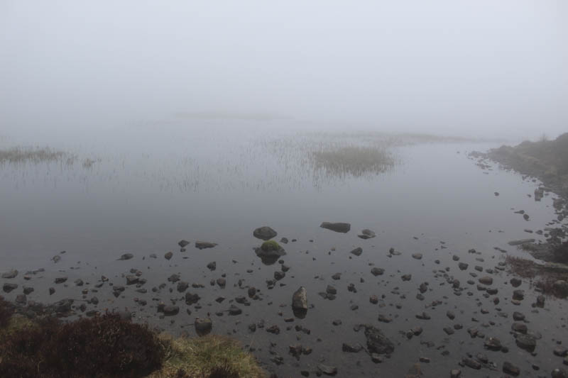
After a break here, visibility hadn’t changed, I navigated to the South Top, then descended north-west to the south of Loch a’ Bhealaich before ascending through more heather to the summit of Stob Loch a’ Bhealaich. The highest point of this Tump was a heather/moss knoll.
With nothing to see I returned to Creag Dhearg’s South Top then to the deer fence. Once I had re-crossed it I commenced the six kilometre return route along the GGW meeting a few walkers and mountain bikers. Nearing the end of this route I emerged from the mist.
- Time taken – 4hrs 30 mins.
- Distance – 15.25 kilometres.
- Height climbed – 645 metres.