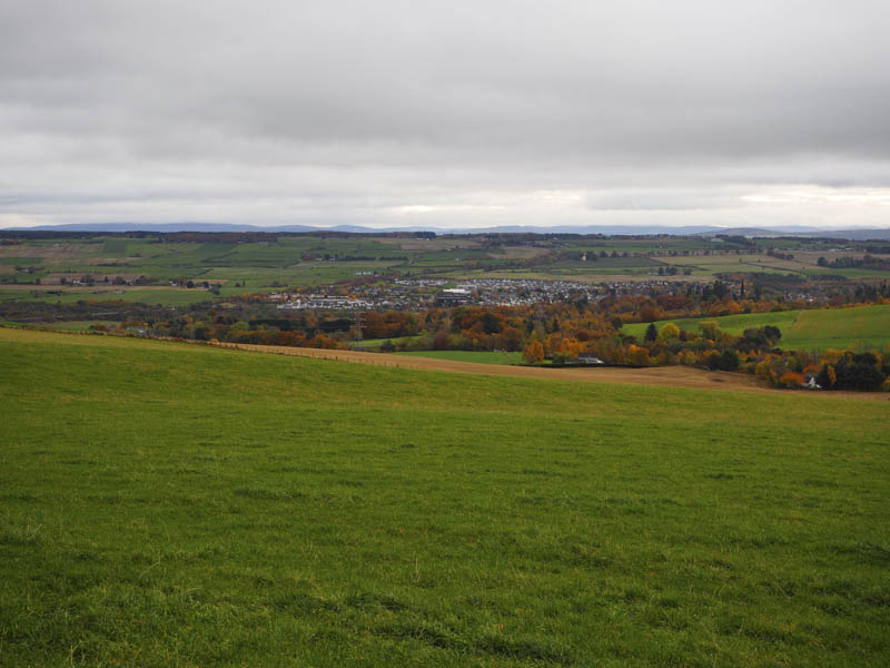
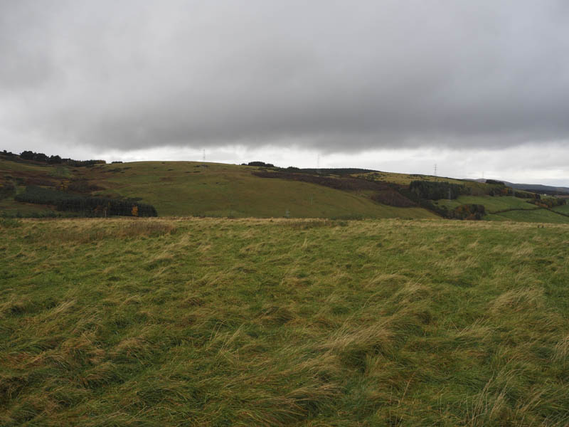
Knockbain – I parked at the side of the minor road at Ussie, accessed off the A835 Tore to Contin Road west of Tallysow, walked east along the road to Meikle Ussie, then through its farmyard and onto the vehicle track for Somerby.
On approaching this farm I crossed a stock gate and a grassy field, devoid of animals, to reach a copse of trees consisting of some matures firs and young deciduous trees. There was also an old rusting Range Rover within the fenced off area. I crossed the barbed wire fence and entered the wood then headed for the highpoint of this Tump which appeared to be beside the mature firs and an old fence.
The return was by the approach route.
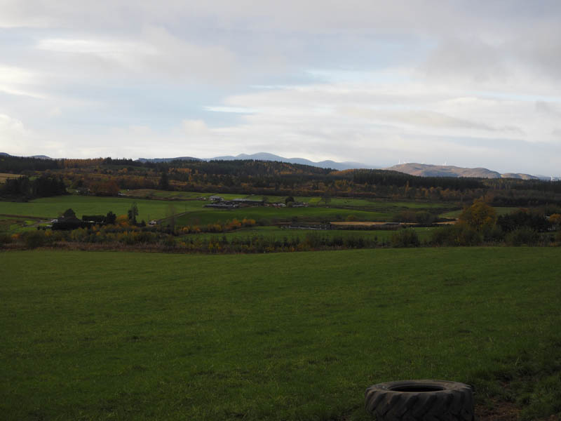
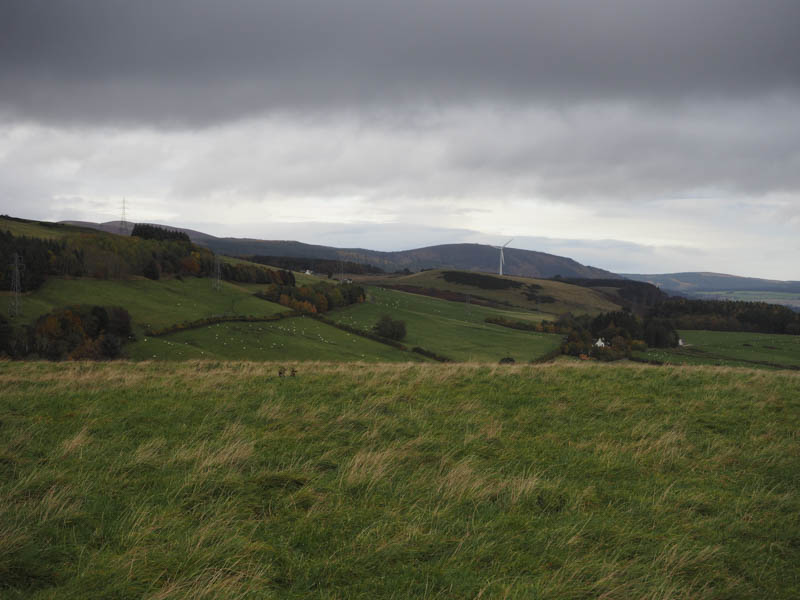
Cnoc Ravoch and Cnoc Mhabairn – I thereafter drove to beside Woodlands on the minor road north of the unclassified Dingwall to Evanton which runs parallel to and north-west of the A862 Dingwall to Cromarty Bridge Road. I parked on rough grass at the start of a farm road before walking along this road to and round the farm buildings.
I had hoped to make a direct approach to Cnoc Ravoch but there was a large number of a cattle in the way so I continued west along the muddy track towards Fluchlady passing through a couple of stock gates. I then entered the field of cattle via another stock gate and walked up the edge of the field, out of sight of the cattle. There was a small wooded area to the west and once beyond it I went through a stock gate and into another grassy field but with no sign of any animals. The highest point of the Tump, Cnoc Ravoch was a grassy knoll.
I returned to the starting point and from there walked north up a tarred road to Pelaig Farm. At a right hand bend north of this farm I left the tarred road and climbed across a couple of grassy fields towards Cnoc Mhabairn. I then lost a bit of height as I passed through some rough ground including juniper bushes, rushes and broom before crossing another grassy field to reach the gate in the deer fence south-west of Fuaranbuy. Beyond the gate a grassy track led towards this property but before reaching it tracks led north then south-west through the forest.
The forest track was left at a break in the trees. Initially it was obstructed by some broom but beyond it was an easy ascent across grass and moss. There were also a couple of fallen trees which were easily bypassed. This led to the summit of Cnoc Mhabairn, the highest point of this Tump being ground surrounded by juniper bushes.
I thereafter returned to the gate in the deer fence then followed a grassy track to Culbin Farm where I joined the tarred road which took me back to Pelaig Farm and my car.
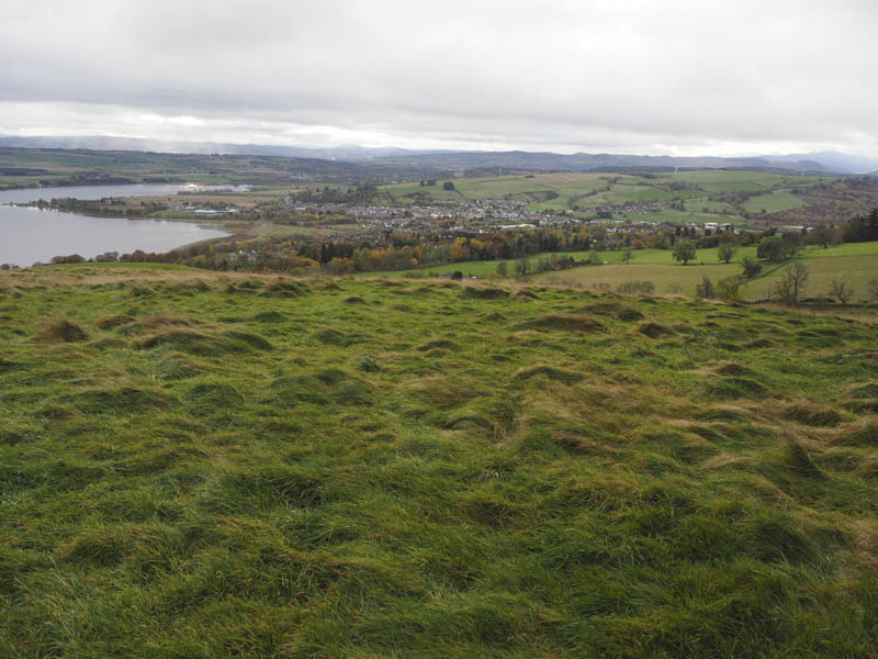
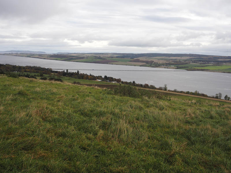
Swordale Hill – This Tump was located west of Evanton in Easter Ross. I parked at the start of the vehicle track leading to Milton Lodge and New Lodge, accessed along the minor road west from the village. I walked up this vehicle track through the trees to beyond Milton Lodge and to just before New Lodge. (It appeared possible to park near Milton Lodge) Here another forest track headed south-east and I briefly followed it to a gap in the mature firs. Long dead bracken had to be pushed aside before the walking became a bit easier on rough ground with some shorter dead bracken.
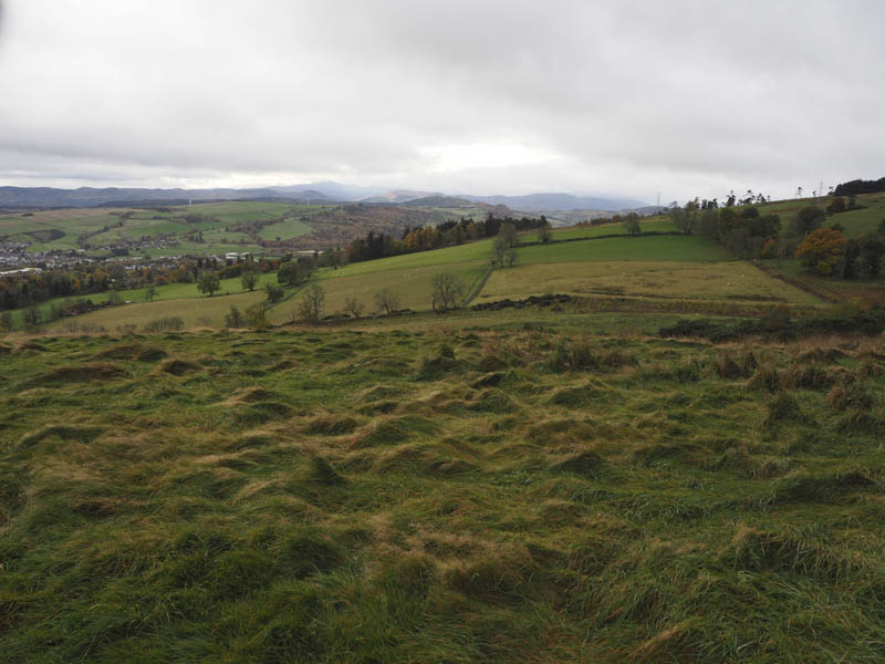
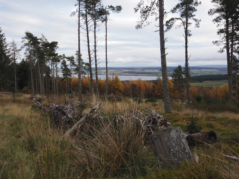
This took me to old harvesting vehicle tracks, deep and filled with rough vegetation, which continued the route through the mature firs. Higher up more open ground and a forest track was reached. There were a few tracks here so obviously other ascent routes were possible. Anyway I walked along the forest track to near the summit of Swordale Hill then through the well spaced trees to the highpoint which was beside one of the fir trees.
The return was by the approach route.
- Total time taken – 4 hours.
- Total distance – 15.75 kilometres.
- Total height climbed – 575 metres.