Tumps East of Strath Vaich – I parked beside Black Bridge, on the A835 Inverness to Ullapool Road north-east of Inchbae Lodge, and set off on foot north up the tarred road in Strath Vaich. Within minutes I encountered a sleet shower but after that it was dry for the rest of the walk with sunny spells.
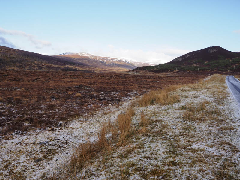
The tarred road continued up the east side of the Abhainn Srath a’ Bhathaich then just after the weir and the track to the property at Lubriach I left the road and followed a path north-east below the Tump, Cnoc a’ Chaisteil, to the estate track south of the Tump, Meallan Donn.
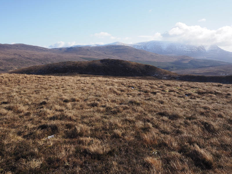
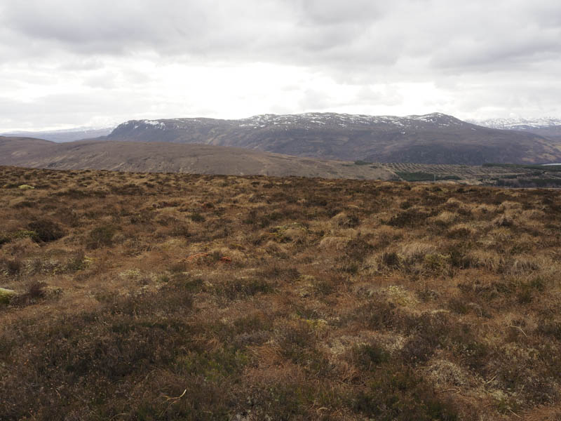
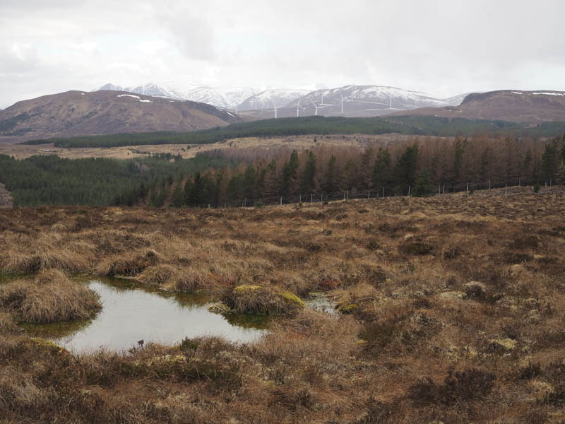
Here I left the track, crossed some wet and boggy ground, and climbed to the summit of the Tump, Creag Bhreac Mhor North Top where I visited a couple of knolls although it became obvious which one was highest.
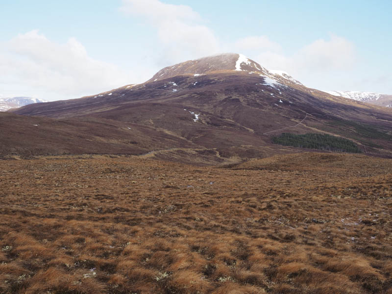
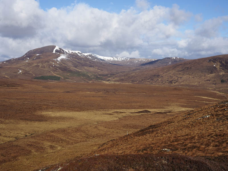
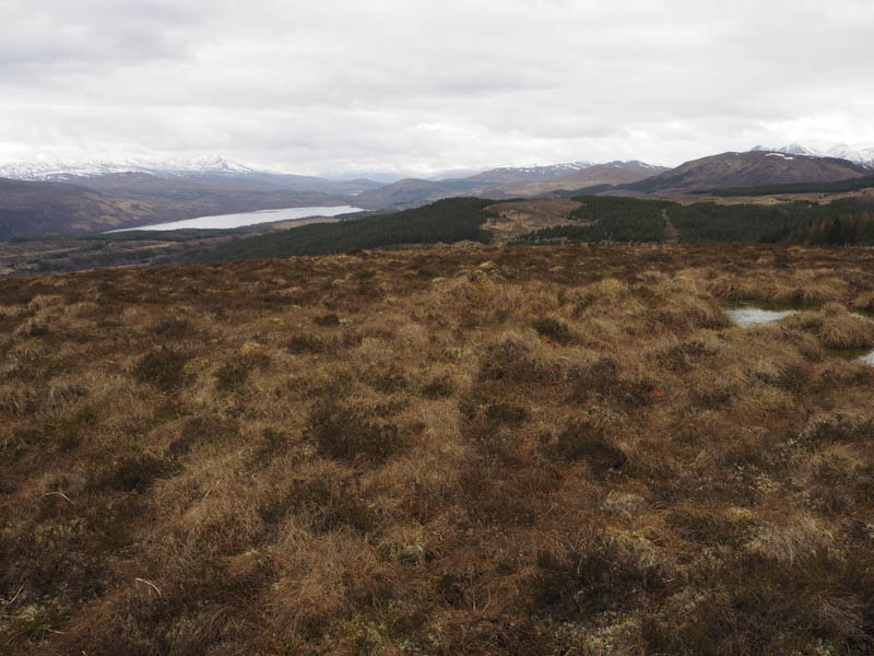
I took a break here with views of the higher snow covered tops then descended south-east, to avoid the worst of the obvious wet and boggy ground to the south, and from there climbed the Tump, Creag Bhreac Mhor, where an outcrop was probably the highest point.
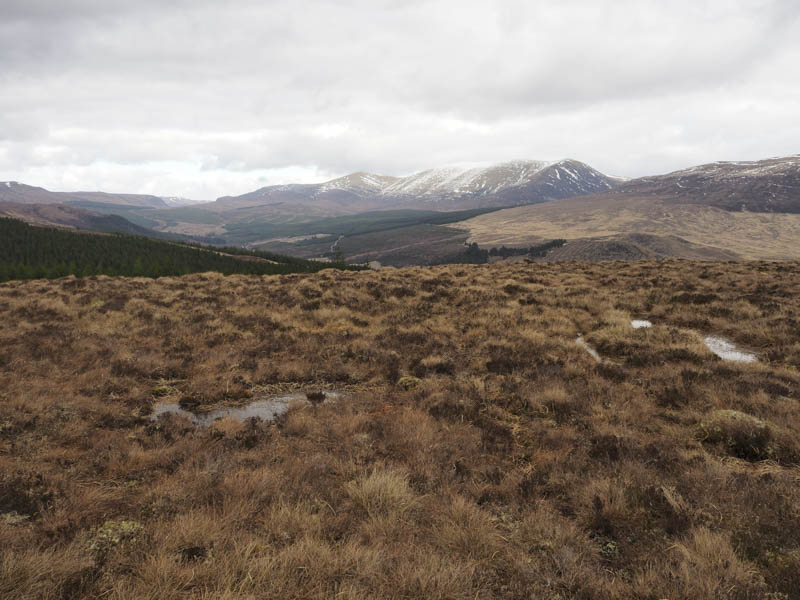
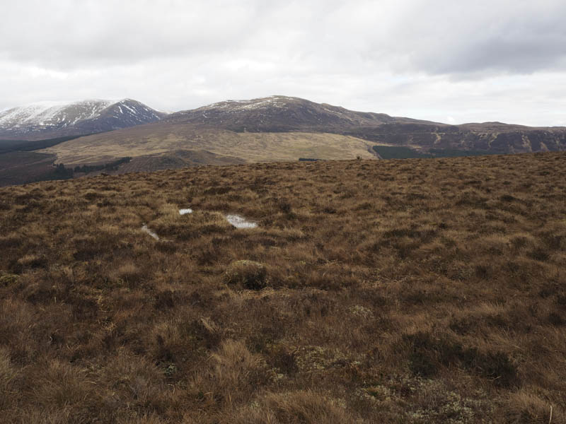
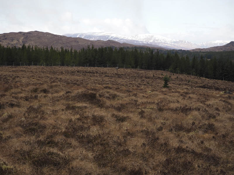
I then dropped south-east to north of the col with Creag Bhreac Bheag, where the ground was also a bit wet, before climbing to the col between its two knolls then north-east to the highpoint of this Tump, a moss covered outcrop.
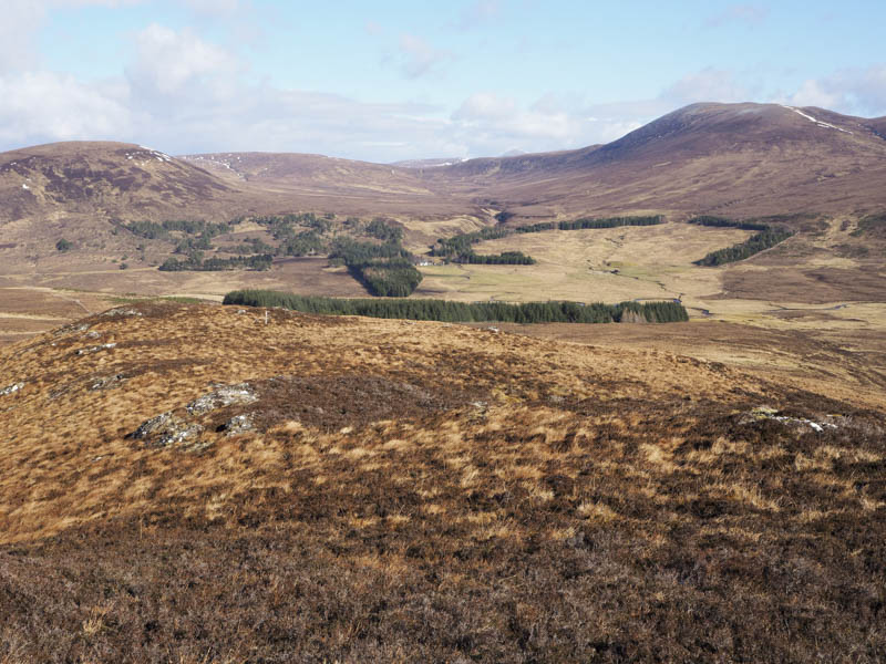
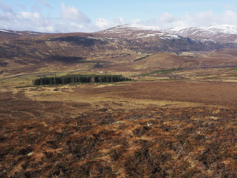
The descent south-west took me over the lower South Top and along what appeared to be deer tracks leading to a deer fence which was followed to the tarred road then an easy saunter back to Black Bridge.
Creagan an Eich Ghlais – I left my vehicle at the Silverbridge car park, on the west side of the A835 Inverness to Ullapool Road north of Garve, and walked a few hundred metres south-west along the verge of the A835 to a forest track. After a brief walk north along this track I came to a junction of tracks where I went left, west, then at a crossroads junction went right, the route signposted Drove Road to Aultguish. This track gradually gained height through the trees, mature trees to the left and young saplings on the opposite side.
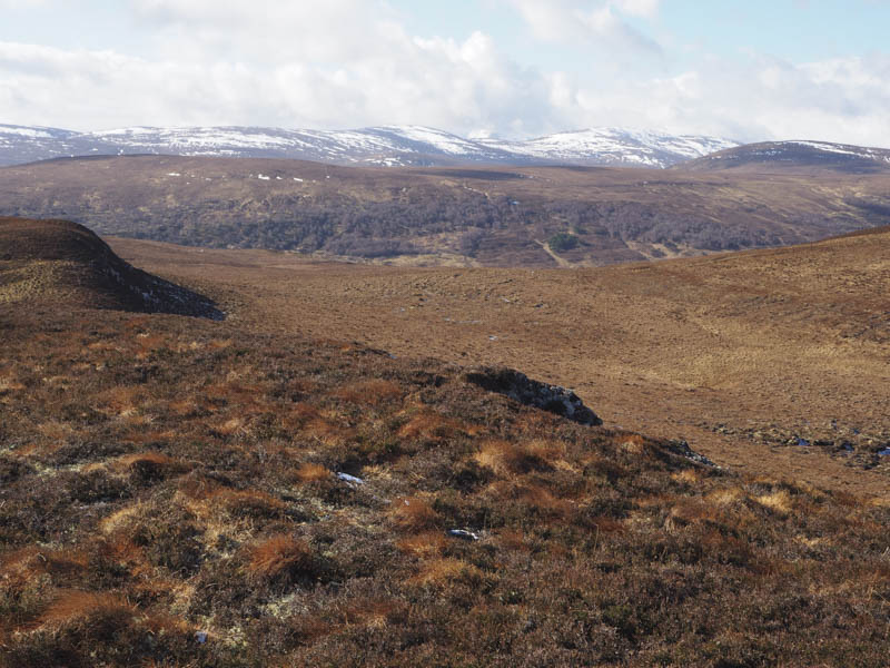
A gate in a deer fence was reached and beyond it the track was wet and boggy. This led to a dilapidated gate in another deer fence and here I left the track and followed the west side of the fence through rough vegetation only to discover that the deer fence changed direction and I was on its wrong side to reach the summit of Creagan an Eich Ghlais. I therefore climbed over the fence and walked through another 150 metres of rough vegetation to gain the summit of this Tump, where the highest point appeared to be a clump of heather.
After a break here taking in the views I returned by the ascent route avoiding climbing the deer fence by staying on the east side.
- Total time taken – 5.75 hours.
- Total distance – 16 kilometres.
- Total height climbed – 590 metres.