Hill of Chattie – Parked on the verge of the minor road to the south of Hill of Chattie and east of the access road to Greenings, east of the B9022 Portsoy to Glen Barry Road. I then walked north along the edge of two stubble fields before crossing a barbed wire fence and entering a wooded area.
The summit of this Tump was amongst the well spaced trees but the highest point wasn’t obvious so I wandered around here before returning by the approach route.
Fordyce Hill and Durn Hill – These two Tumps are located to the south-west of Portsoy. I approached them from Durn Hill Farm, west of the B9022 Portsoy to Glen Barry Road, parking on an area of recently levelled ground that appeared to have been constructed for forestry operations.
I walked to and round the buildings at Durn Hill Farm then along the vehicle track that ran north-west through the trees. At the col between Fordyce Hill and Durn Hill I followed a muddy vehicle track south-west before entering and crossing a field containing sheep. This led to a barbed wire fence surrounding another wooded area. The highest point of Fordyce Hill was amongst the trees so I crossed this fence, pushed my way through some gorse bushes to the small cairn marking its summit.
I returned to the col then climbed north-east across a grassy field containing more sheep to reach the trig point on Durn Hill. The highest point of this Tump was ground nearby.
Thereafter it was back to the col before descending by the upwards route.
Arnbath Hill – I left my vehicle on the verge at the start of the road signposted Arnbath Farm, located to the west of Portsoy. I then walked south towards the farm then entered a stubble field which led to a communications tower. The highest point of this Tump was somewhere close by but it wasn’t obvious.
The return was by the approach route.
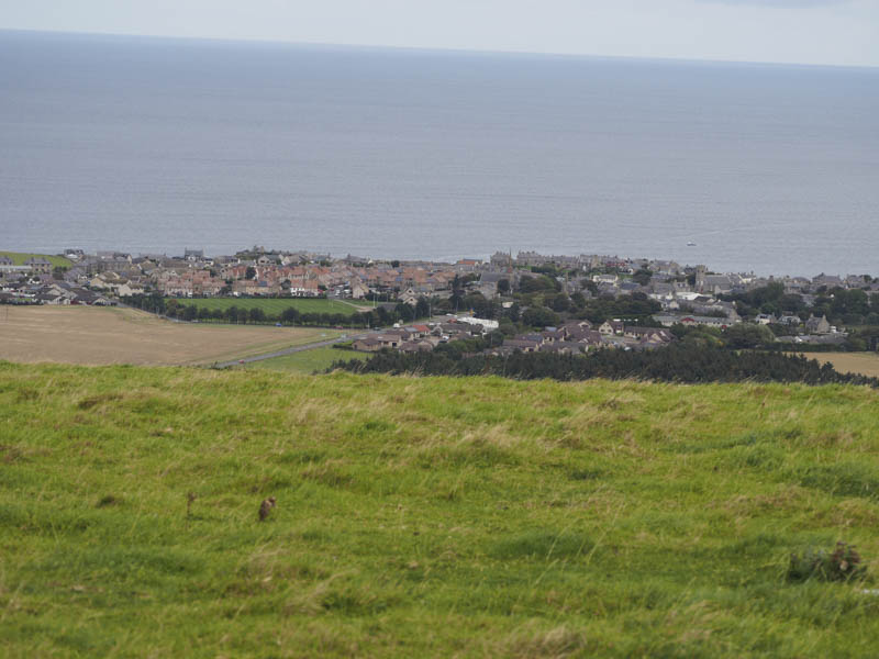
Cotton Hill – This Tump, located south of Cullen, was approached from a minor road to the south accessed off the B9018 Cullen to Deskford Road. I left my car at the start of a vehicle track leading into the woods and walked north-west along the forest track later looking for a suitable point to leave the track and enter the wood to access the highest point of Cotton Hill. However closely growing young fir trees prevented this option. The track then took a ninety degree turn and I was now walking north-east. After a further few hundred metres I was able to enter the well spaced mature firs and visited a few highpoints which could have been the summit of this Tump.
I thereafter continued through the trees onto a harvesting vehicle track which was covered in brash and used it to return to the forest track not far from the starting point.
Carnoch Hill – I left my car in a lay-by on the A98 Cullen to Portsoy Road east fo Tochieneal and walked across a stubble field gaining height. On reaching the top end of the field I entered a wood where initially I followed a path before crossing a barbed wire fence into a grassy field containing cattle. Fortunately they were away in the distance. I crossed this field to the summit of the Tump, Carnoch Hill, although the highest point wasn’t obvious.
I re-entered the wood, east of where I left it, then returned to the stubble field and the lay-by.
Bauds of Cullen – The summit of this Tump was within a forest to the south-east of the village of Findochty but I wasn’t sure if it was possible to reach its summit.
I left my vehicle on the verge at the entrance to the property at Newton, on the minor road north of the A98 Cullen to Fochabers Road, and walked west along the minor road before entering the forest via a vehicle track which led to a communications tower.
The ground to the east and west of this tower had recently been extended probably for the harvesting of the trees. Anyway I went west and at the end of the track and after a bit of searching I entered the mature firs pushing the branches aside. I spent some time wandering through the trees but there was no obvious highpoint so I returned to my car.
The summit of this Tump may be more obvious once the trees are felled.
- Total time taken – 3.75 hours.
- Total distance – 11.75 kilometres.
- Total height climbed – 280 metres.