Carn Ellick – I headed for Glenconglass, accessed along minor roads to the north of Tomintoul, with the intention of climbing the Tump, Carn Ellick, via Ellick Farm. On arrival at the small parking area a sign indicated a clockwise circular forest route taking in Carn Daimh. Having already climbed this Marilyn I was hoping to avoid its re-ascent, so decided to go anti-clockwise but only as far as Carn Ellick.
On leaving the car park I walked east along the track to Glenconglass Farm East where a couple of chaps were shooting crows. Beyond the farm buildings I entered a field containing a bull although he was a bit away. A small wooden footbridge and some wooden planks took me across a wee stream and some marshy ground which led to a stile in a stock fence. There were a few signs here indicating the route up the edge of a new deer fence and through a gate into an area where a section of the woodland had been harvested. A grassy track led to the upper gate and onto the open heathery hillside.
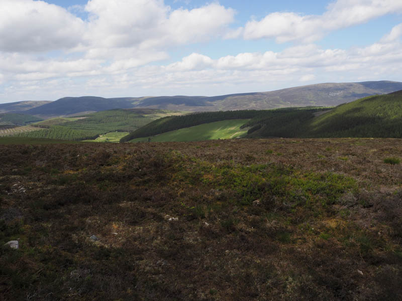
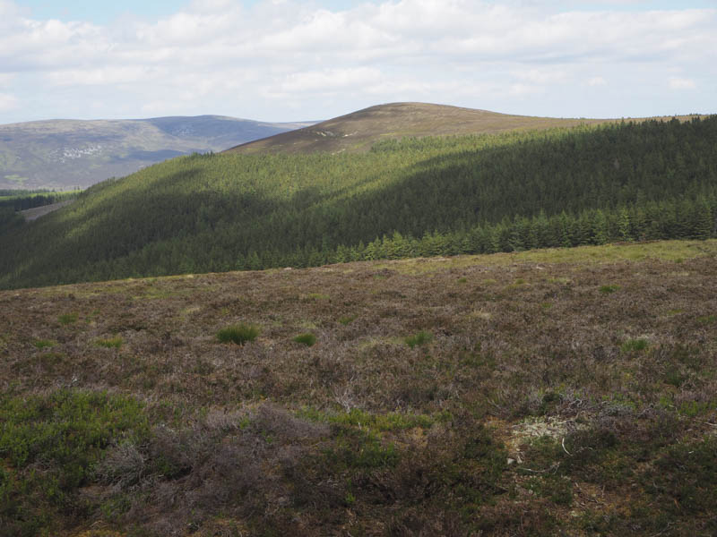
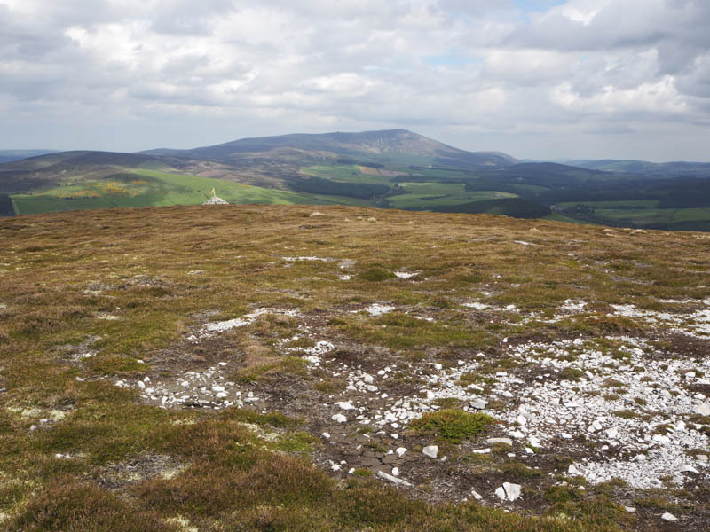
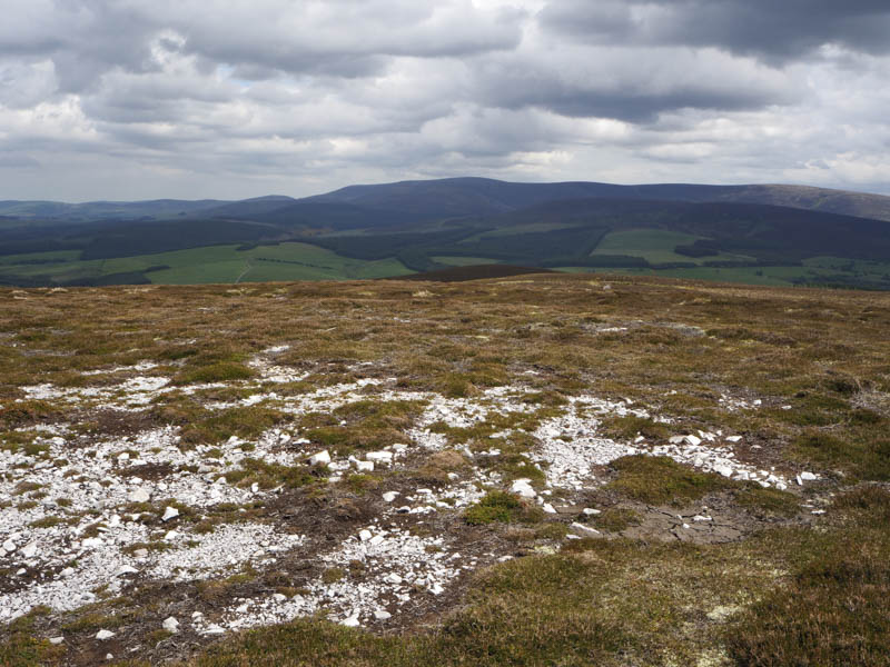
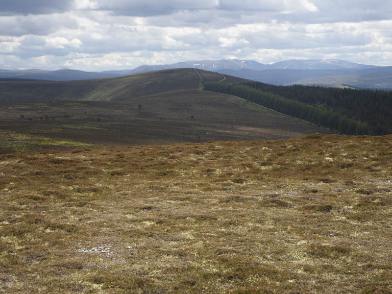
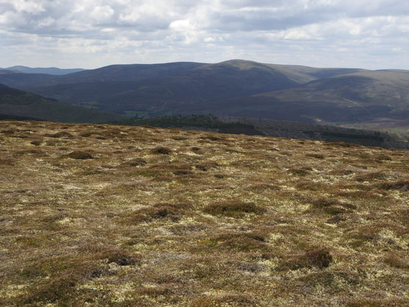
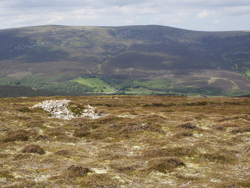
The route through the heather wasn’t obvious and I didn’t see any signs so I followed the fence which later continued north-east along the edge of mature trees. Here I located what appeared to be a path through the heather leading onto the Speyside Way which took me through a gate and into the wood. At a ‘T’ junction I went left, still on the Speyside Way, then higher up left again onto a rough track and into a wide open area of heather moorland surrounded by woodland. The extent of the trees enclosing the summit wasn’t on the map. I visited the cairn but the highest point of Carn Ellick was apparently twenty metres away.
After a coffee break I returned by the approach route taking a slight diversion through the marshy ground to avoid getting too close to the bull but he appeared rather docile and didn’t bother me.
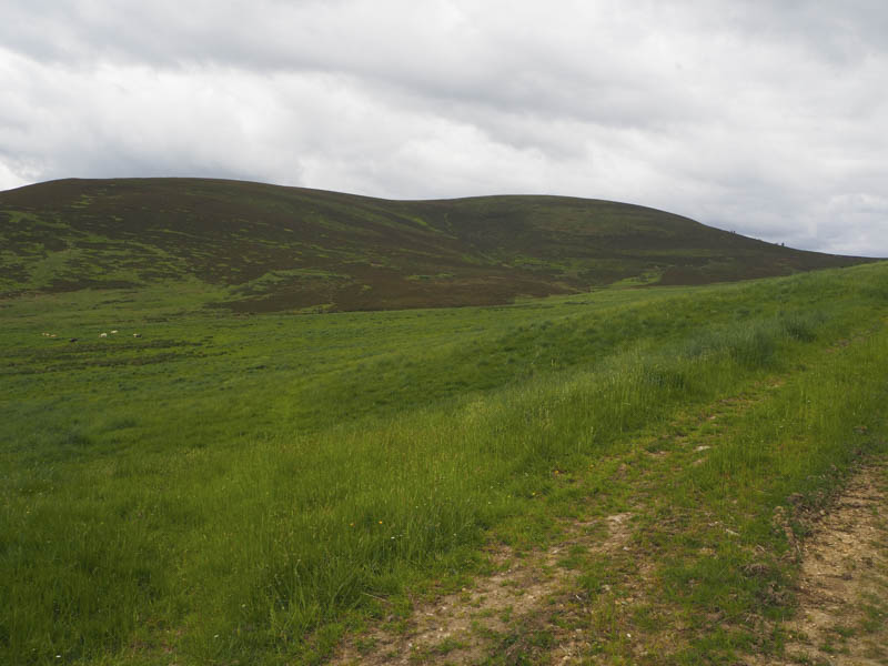
Carn Liath – I left my vehicle in the small car park at Blairfindy near Blairfindy Lodge, accessed along minor roads from the B9008 Tomintoul to Bridge of Avon Road and south-west of the Glenlivet Distillery. I was briefly back on the Speyside Way walking west but soon left it and headed along a grassy vehicle track planning on a more direct ascent of Carn Liath.
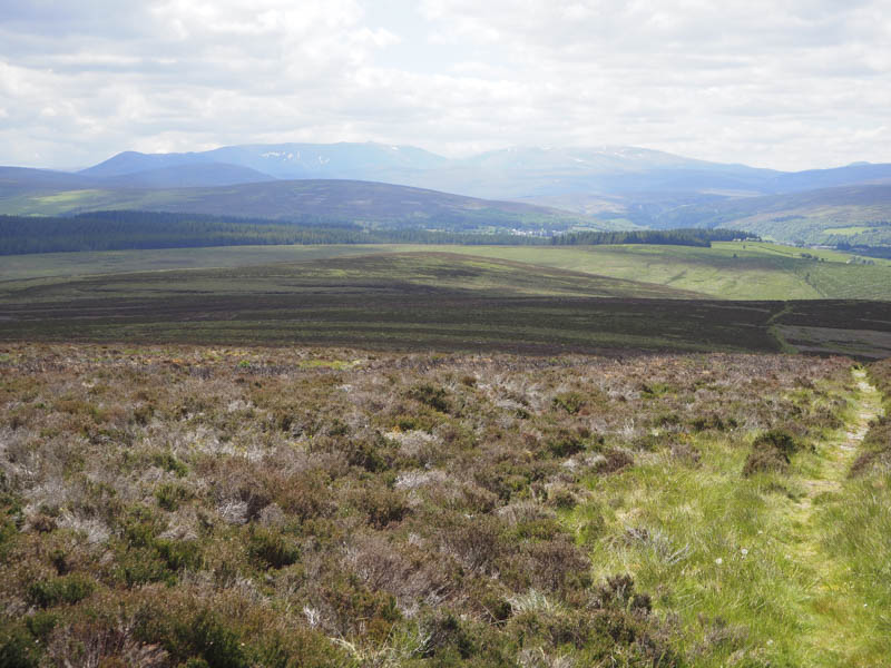
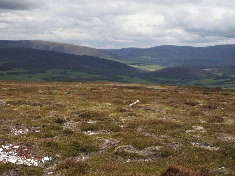
On approaching some cattle I stayed close to the fence where the going was easy enough. Higher up I crossed the fence into long heather so decided just to head for and onto the Speyside Way which at this point had been realigned and upgraded. The path crossed the west face of Carn Liath and here I left the path and climbed through heather of varying lengths to reach the cairn marking the summit of this Tump.
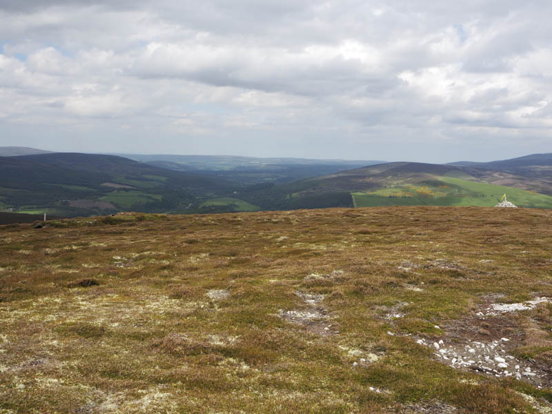
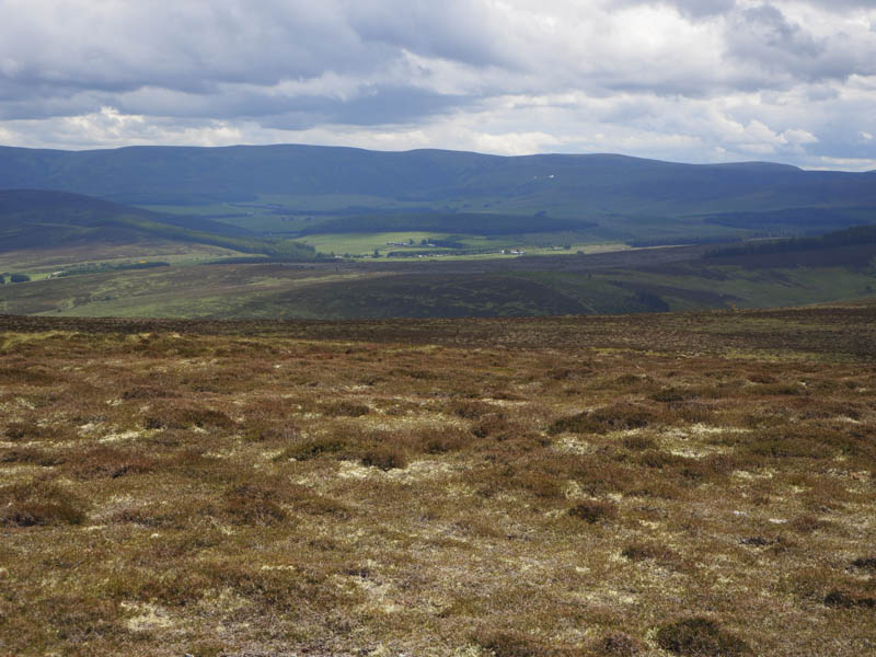
After a late lunch at the summit I descended north-west to the Speyside Way and used it to return to the car park.
- Total time taken – 3.75 hours.
- Total distance – 10.75 kilometres.
- Total height climbed – 455 metres.