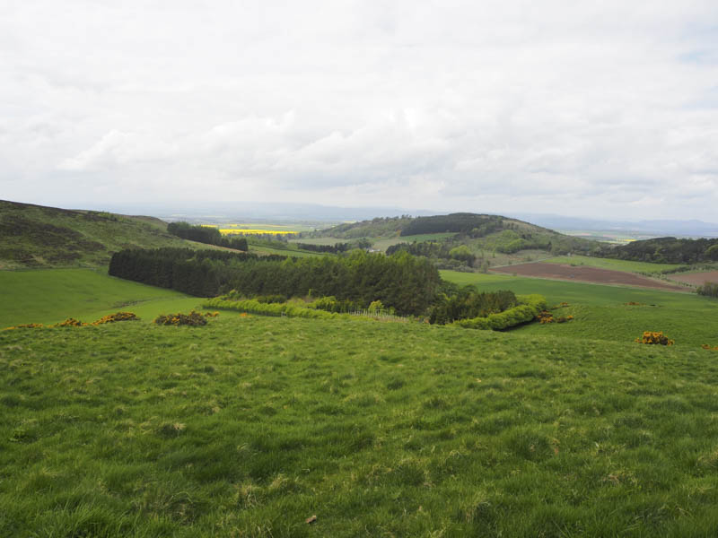
Montague Hill, Swirlhead Hill and Beal Hill – An overnight stay in Perth meant a reasonably early start to climb these three Tumps, located north-east of the city. I parked at a T junction on the minor road east of the A94 and Perth Airport, went through a stock fence and walked along a vehicle track to a reservoir. I wasn’t able to get round its east side due to gorse and bog so walked round the west side of the reservoir and climbed north-east through pathless vegetation to a junction of fences with an electric wire, one of many I encountered this day.
I managed to cross one of the fences via some wooden slats, walked along the edge of the fence through well spaced trees and along the south side of a small woodland enclosed by a deer fence with electric wires. It was here that I noticed a vehicle track below which I later realised I could have used instead of this roundabout route. Anyway I walked round the woodland to its north side where a grassy area was the highest point on Montague Hill.
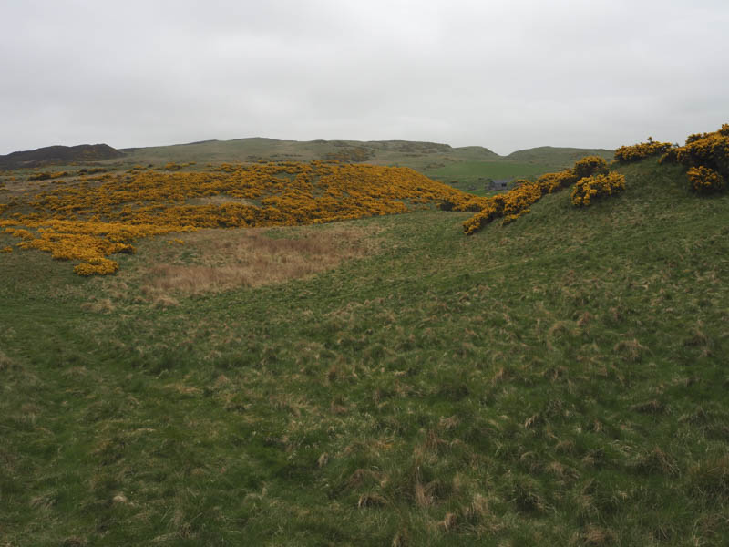
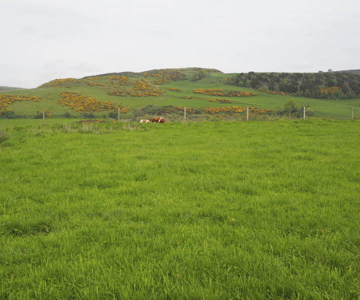
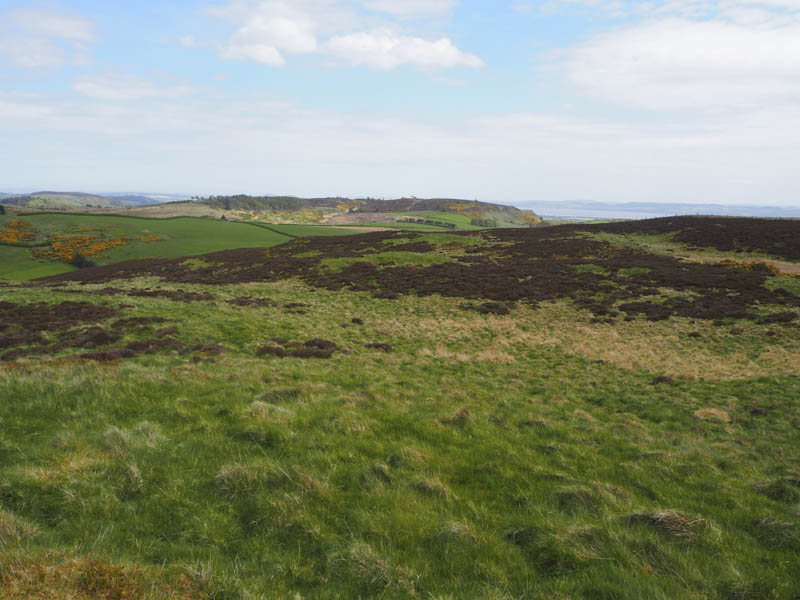
From there I descended east, crossed the vehicle track which ran round the south and east sides of Montague Hill, and towards areas of gorse. There was no obvious way through these bushes so I headed south-east, crossing several fences, to the north side of Whitemyre Farm. More fences were crossed as I avoided the farm buildings then it was round or through the gorse bushes following sheep trails. On clearing the gorse it was an easy enough ascent to Swirlhead Hill its highpoint apparently was at a junction of fences although I thought some heather to the east appeared higher.
After visiting both points I followed a stock fence south-west, later crossing it, then low down came across a short section of vehicle track which led to a stock gate and the highpoint of the minor road at Glen of Rait.
Once across this road and through a couple of stock gates I climbed Beal Hill although the grassy vegetation at some stage had been churned up by cattle but it was dry. There were two grassy areas in contention for the summit, the one beside the trees appeared highest.
The descent was initially west through another stock gate then I spotted cattle so changed direction and continued north-west along the edge of the field later crossing a gate and into a field containing sheep. Keeping to the edge of this field took me back to the minor road east of where I had left my car. On this short walk to my vehicle I noted that the start of the vehicle track below Montague Hill, which I could have used, was just east of the T junction.
Craighead and Kinnaird Hill – The start of this walk was Flawcraig, located east of Fingask Castle, my earlier walk and north of the A90 Perth to Dundee Road. There wasn’t a lot of parking available but I did manage to get my car off the minor road then walked back west along the road to one leading to Woodwell. Signs indicated that this road was private and in any case there weren’t any suitable parking spaces on this road.
I walked up the Woodwell road to just before this property, an electric wire on a stock fence prevented earlier access, went through a gate and into a field holding cattle although fortunately they were further up the field. I then went through an open gate and climbed east passed the communications tower to a grassy knoll the summit of the Tump, Criaghead.
On returning to the Woodwell road I followed it passed the property and through a stock gate onto a vehicle track. This track took me north to a second gate and after it I left the track, crossed an area of grass, and went through gorse bushes, some of which appeared to have been burnt. A stock fence topped with an electric wire was reached but with some care I managed to cross it without being shocked then continued though more grass to the trig point marking the summit of the Tump, Kinnaird Hill.
To avoid the stock fence with the electric wire I descended west searching for a gate but was forced north further than I wanted, to locate a tied down wooden gate. Once over it I returned to the vehicle track and followed it back to Woodwell then the road to the start.
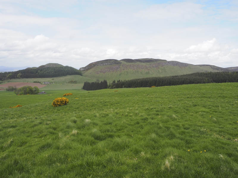
Hoole Hill South-West Top, Hoole Hill and Hill of Franklyden – These three hills were located north of Kinnaird Hill so I drove round to the B953 Abernyte to Balbeggie Road and parked at the south side of this road east of the access road to Hoole Farm.
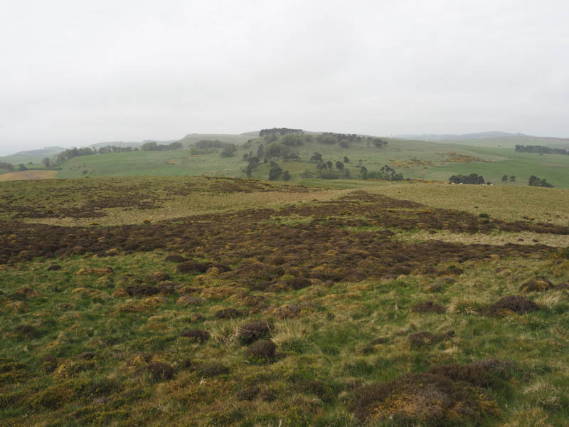
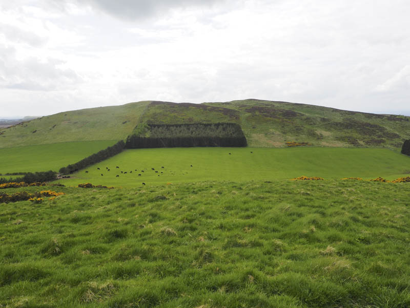
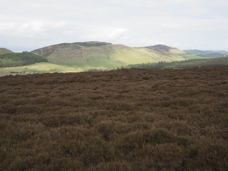
I walked east along the B953 to the track giving access to Pitmiddle Wood where there were several no parking signs and a chain link fence. Once through the gate in the deer fence the track headed south-east through the forest where some of the trees had been harvested, passed Seamaw Loch, and to another gate in the deer fence. Immediately beyond this gate I left the track and climbed through the trees, easily enough although rough underfoot with brash to reach a grassy knoll, the summit of the Tump, Hoole Hill South-West Top.
I descended south-east through the trees, which were a bit closer at times, to reach a vehicle track near a gate in the deer fence. Once through this gate a track ran along the edge of the forest and onto more open ground. A grassy track climbed passed an enclosed area with a new fence including an electric wire and onto a grassy area, the summit of the Tump, Hoole Hill.
My plan had been to make a direct approach to the final hill for the day, Hill of Franklyden, but a field containing cows and calves prevented this. I walked north along the fence enclosing the cattle then the edge of a copse of trees to reach a farm track. This track descended south-east to a gate in the fence surrounding the field holding the cattle. They were far enough away so I crossed the field keeping to the fence edge and a copse of trees protected by a deer fence with electric wires. Once across a wooden gate then an older stock fence the ascent of Hill of Franklyden commenced through a mixture of grass and heather. The summit of this Tump was reached the highest point probably being a mixture of heather and grass.
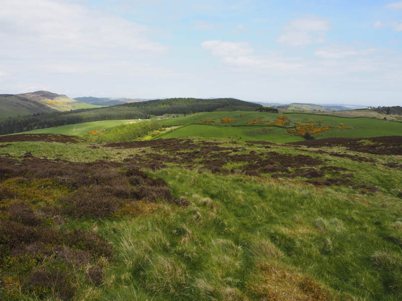
I returned to the wooden gate and re-joined the farm track which led to Hoole Farm. Bullocks in an adjoining field were running amok, possibly only recently moved outdoors. The farm track joined the B953 a short distance west of where I had left my car.
- Total time taken – 6 hours.
- Total distance – 18.25 kilometres.
- Total height climbed – 780 metres.