Beinn Ghuilbin – I left my car at the west side of the A95 north of Aviemore and south of the railway overbridge at Kinveachy Cemetery, then walked the short distance south to a vehicle track linking the A95 with the A9, the main road north/south in the Highlands.
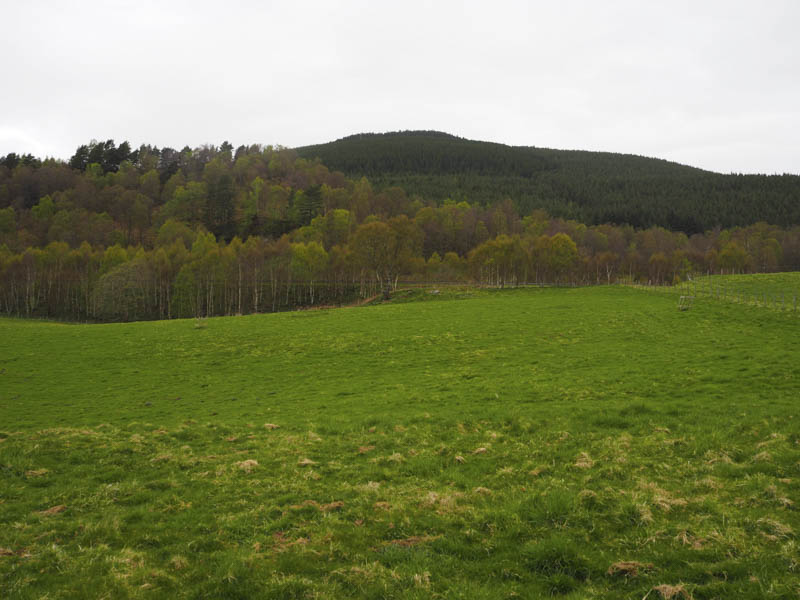
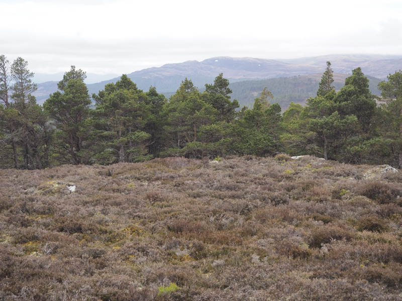
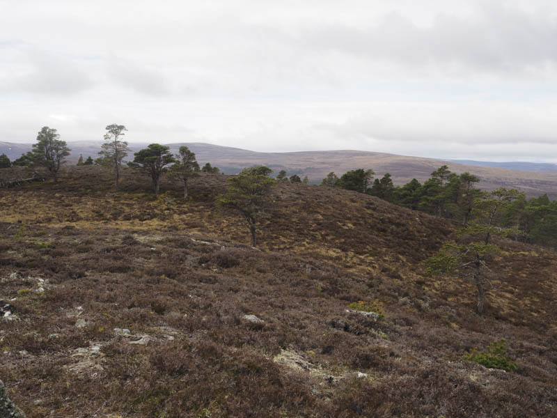
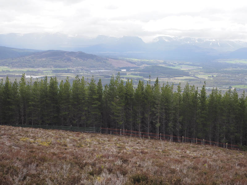
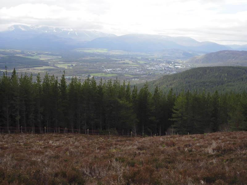
Once across the A9 I passed through a pedestrian gate then followed various vehicles tracks through the forest as I zigzagged my way uphill. The final section of track narrowed to a path, muddy in places, and used by mountain bikers. This led to a junction of deer fences which were a bit awkward to cross then it was through longish heather followed by some well spaced trees to reach the summit of Beinn Ghuilbin on open ground. There were two cairns, the smaller one to the south was apparently the highest point of this Hump.
After a short break here I reversed the route back to my car.
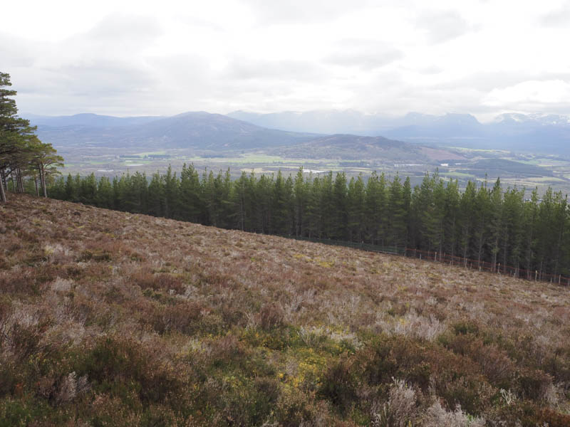
Creag an Fhithich – I moved my car east along the A95 Aviemore to Grantown on Spey Road and parked beside the sawmill at the start of the north road leading to Boat of Garten. (NH943199) I then crossed the A95 and walked north along a forest track passed the access road to a house and various signs regarding forestry operations.
At a junction of tracks, (NH943203) I went left, west, and followed this forest track to its highpoint (NH933210) where there was a small quarry and a large pile of hardcore. I left the track here and followed harvesting vehicle tracks, many of them dry, although there were a few pools of water involving slight diversions, to reach Creag an Fhithich’s trig point located amongst the trees. The cairn marking the highest point of this Hump was some 300 metres to the north still within the forest.
The return was by the upward route.
- Total time taken – 4.25 hours.
- Total distance – 13 kilometres.
- Total height climbed – 575 metres.