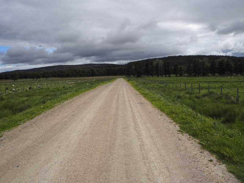
I left my car at the start of the vehicle track leading to the Moy Wind Farm, located east of the B9154 at Moy Hall, (NH759350) and followed the wind farm highway east across the bridge over the Moy Burn then north-east round Moy Hall to the edge of a forest.
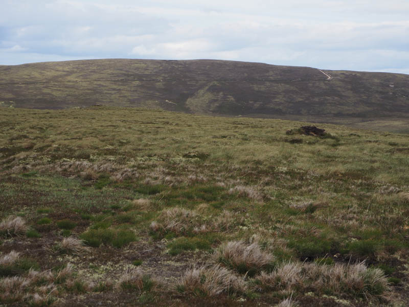
Here the vehicle track continued round to the north-east edge of the forest and to the Site Office. Just prior to this building I left the wind farm track and walked south-east along an estate track on the east side of the forest. This track led to the summit of the Tump, Beinn an Uain, where the highest point appeared to be amongst the heather to the east of the track.
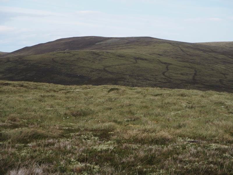
I continued south-east along this track and the forest edge loosing height before climbing to the communications tower on Beinn na h-Iolaire where I took a break sheltering from the windy conditions.
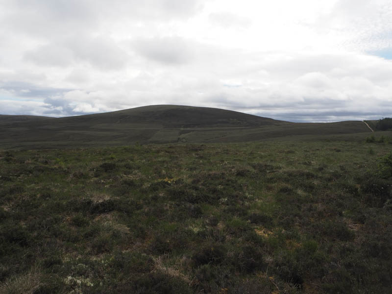
Thereafter I descended through some rough vegetation and soft ground to the col with Meall a’ Bhreacraibh where I came across an ATV track that ran up the side of some shooting butts and towards the summit of Meall a’ Bhreacraibh. The highest point of this Tump was just some heather near a small cairn.
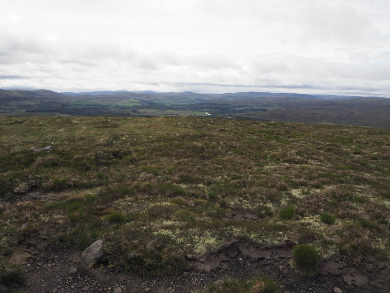
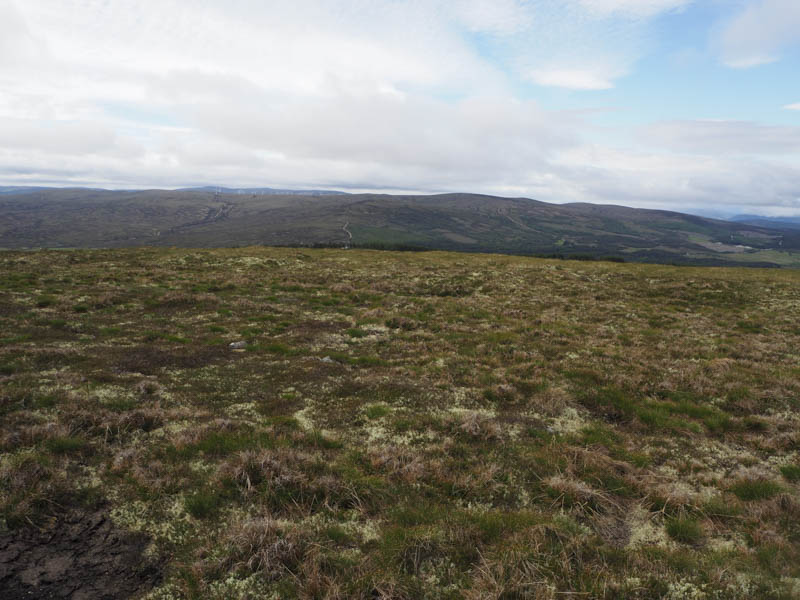
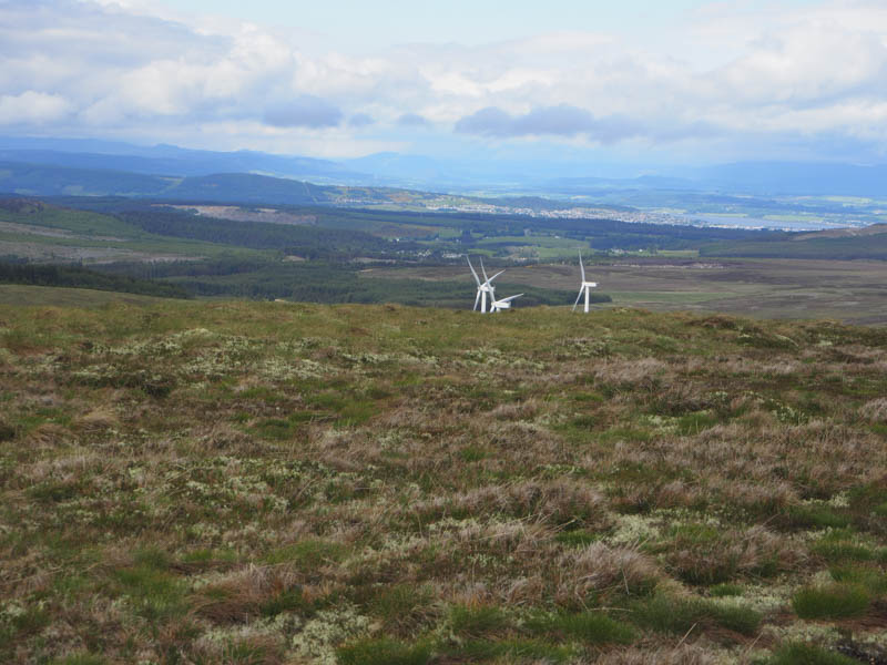
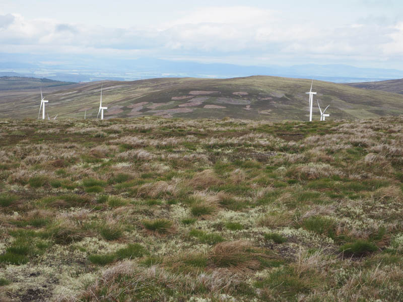
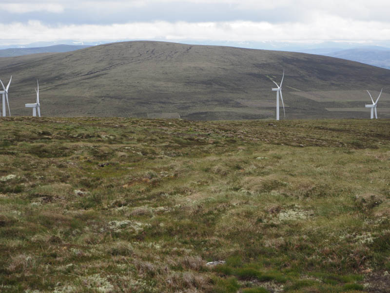
From there I descended north through rather rough and at times tussocky ground eventually reaching the Moy Wind Farm at turbine 107.I used the wind farm roads to reach and cross the Moy Burn as well as part way up Beinn Bhreac. On reaching the end of the road I climbed through heather of various lengths to the summit of this Tump, marked by a cairn.
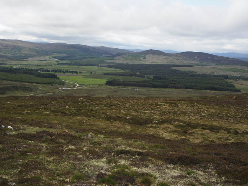
The descent south-west took me through a mixture of heather and rough vegetation to the ford on the Moy Burn which was fairly low. I passed the Site Office then returned to the start by the approach route.
- Time taken – 4.25 hours.
- Distance – 14.5 kilometres.
- Height climbed – 525 metres.