An Carn – I arrived at my accommodation In Lochalsh mid afternoon so there was time to climb a couple of smaller hills. The first one was on the minor Erbusaig to Drumbuie Road north of Kyle of Lochalsh.
![An Carn](https://scotlandhills.net/wp-content/uploads/2023/04/01-An-Carn.jpg)
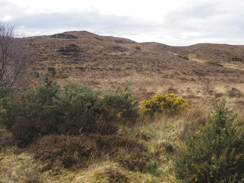
I parked on the verge near the highpoint on this road, walked through some heather, grasses and bog, over a small knoll, and to the cairn marking the summit of the Tump, An Carn.
![Beinn na Caillich, Skye, in the distance](https://scotlandhills.net/wp-content/uploads/2023/04/02-Beinn-na-Caillich-Skye-in-the-distance.jpg)
![Inner Sound and the Cuillin, Isle of Skye](https://scotlandhills.net/wp-content/uploads/2023/04/03-Inner-Sound-and-the-Cuillin-Isle-of-Skye.jpg)
![Inner Sound, Isle of Scalpay and Skye](https://scotlandhills.net/wp-content/uploads/2023/04/04-Inner-Sound-Isle-of-Scalpay-and-Skye.jpg)
![Crowlin Islands. Isle of Raasay beyond](https://scotlandhills.net/wp-content/uploads/2023/04/05-Crowlin-Islands.-Isle-of-Raasay-beyond.jpg)
![Caolas Mor and the Applecross Peninsula](https://scotlandhills.net/wp-content/uploads/2023/04/06-Caolas-Mor-and-the-Applecross-Peninsula.jpg)
![Lochs Carron and Kishorn with Applecross Peninsula beyond](https://scotlandhills.net/wp-content/uploads/2023/04/07-Lochs-Carron-and-Kishorn-with-Applecross-Peninsula-beyond.jpg)
![Drumbuie. Loch Kishorn beyond](https://scotlandhills.net/wp-content/uploads/2023/04/08-Drumbuie.-Loch-Kishorn-beyond.jpg)
![Coire a' Mhuilt](https://scotlandhills.net/wp-content/uploads/2023/04/09-Coire-a-Mhuilt.jpg)
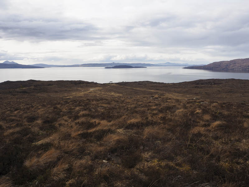
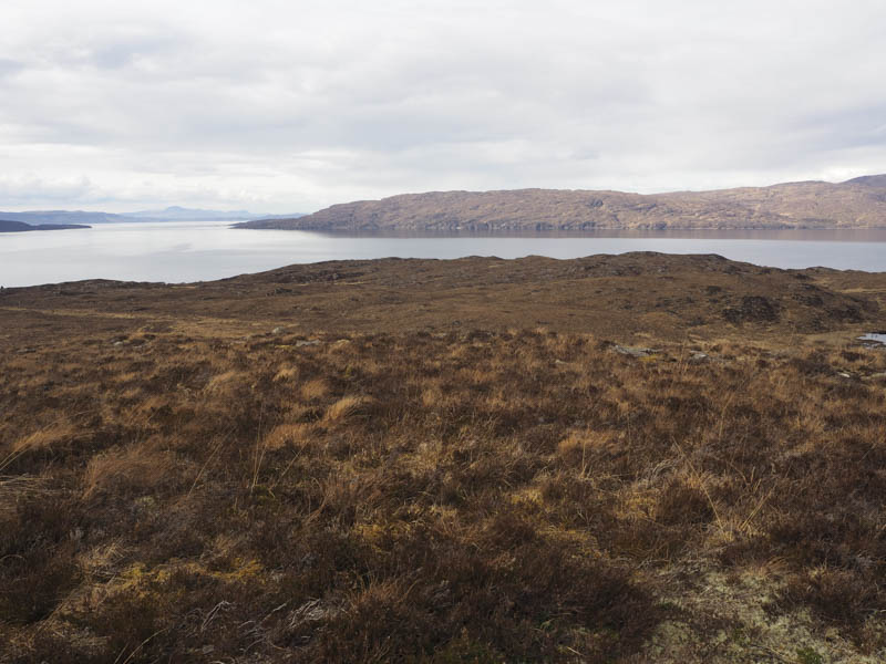
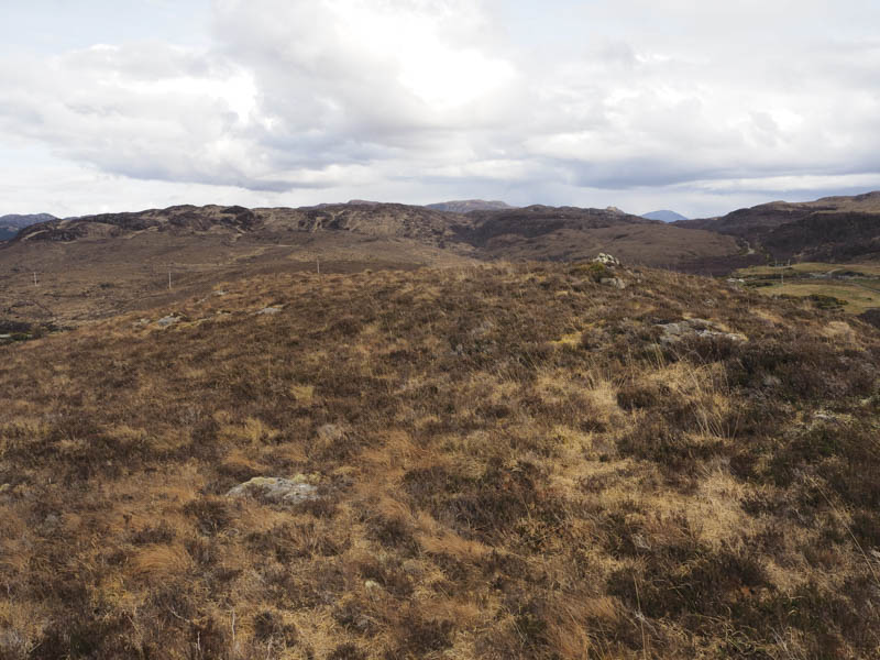
I then retraced my route back to the car.
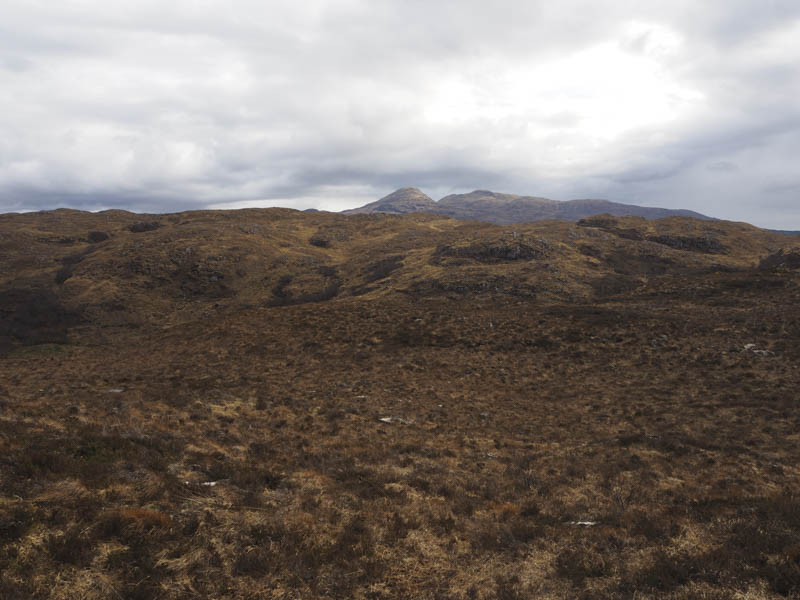
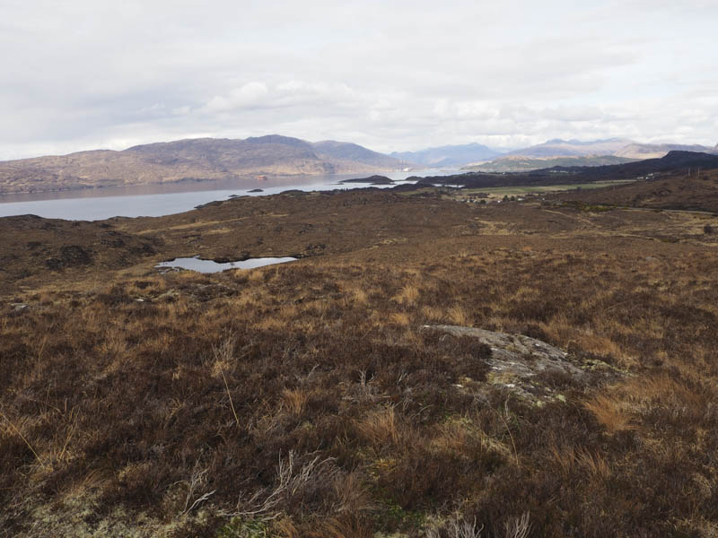
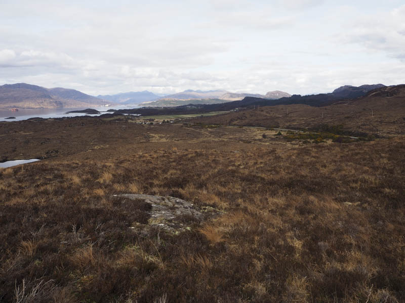
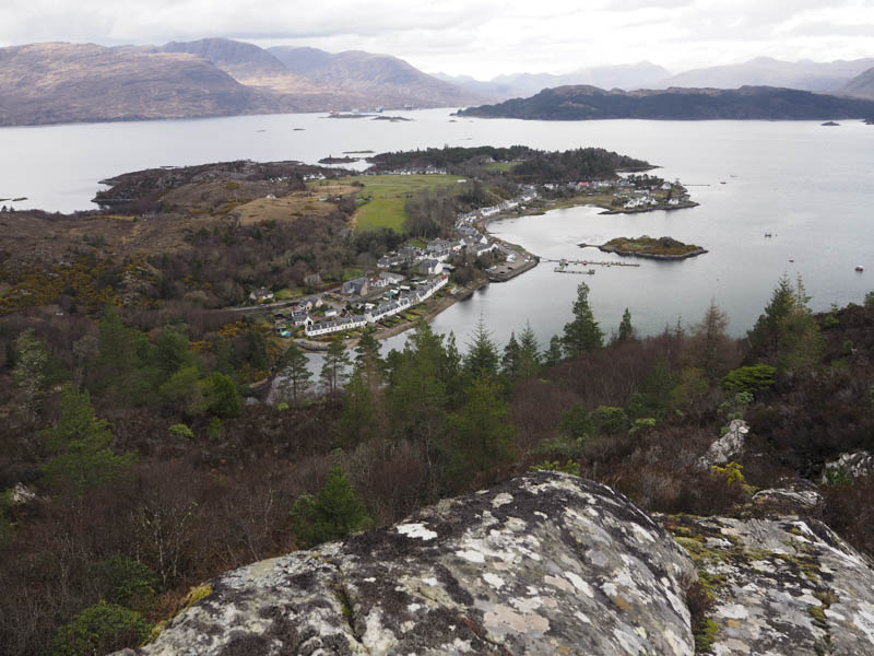
Creag nan Garadh – I left my vehicle beside a pedestrian gate on the north side of the minor Plockton to Achmore Road which ran through Strathie. (NG804325)
![Creag nan Garadh](https://scotlandhills.net/wp-content/uploads/2023/04/10-Creag-nan-Garadh.jpg)
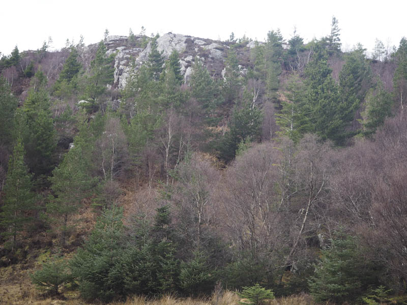
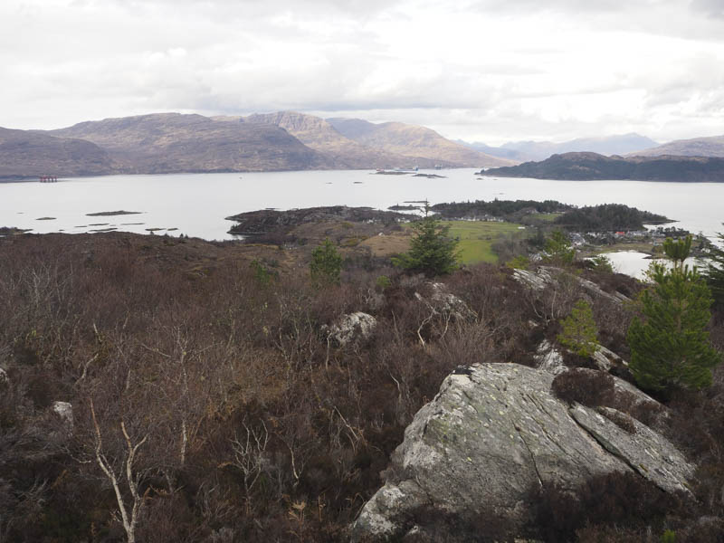
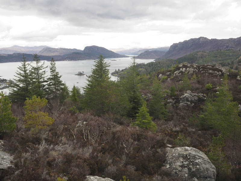
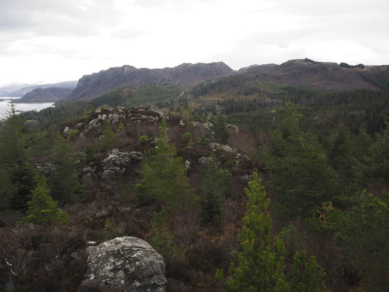
I then passed through this gate but beyond it the ground was a quagmire having been churned up by cattle. Once I found a route across this area I headed north through some trees on what at one time may have been a path but was now a muddy cattle trod. I later headed west, still on cattle paths, through heather, some small trees, mud and stone. I visited two rocky knolls but was unable to say which large outcrop was the highest point of the Tump, Creag nan Garadh.
![Lochs Carron and Kishorn and Applecross Hills](https://scotlandhills.net/wp-content/uploads/2023/04/11-Lochs-Carron-and-Kishorn-and-Applecross-Hills.jpg)
![Loch Carron](https://scotlandhills.net/wp-content/uploads/2023/04/12-Loch-Carron.jpg)
![Carn a' Bhealaich Mhoir](https://scotlandhills.net/wp-content/uploads/2023/04/13-Carn-a-Bhealaich-Mhoir.jpg)
![Auchtertyre Hill](https://scotlandhills.net/wp-content/uploads/2023/04/14-Auchtertyre-Hill.jpg)
![Plockton](https://scotlandhills.net/wp-content/uploads/2023/04/15-Plockton.jpg)
The return was by the upward route without spotting any cattle. I did see them a couple of times later that week while driving past.
- Total time taken – 1 hour.
- Total distance – 1.5 kilometres.
- Total height climbed – 90 metres.