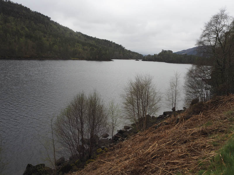
Meallan na Ceardaich and Meall Beag – I parked on the verge west of the bridge over the Allt Blar na-Gamha in Glen Affric, (NH277281) accessed from the village of Cannich to the north-east. The start of the path I was intending utilising wasn’t that obvious, it was slightly east of the bridge, but the path soon crossed the stream and led to a small dam.
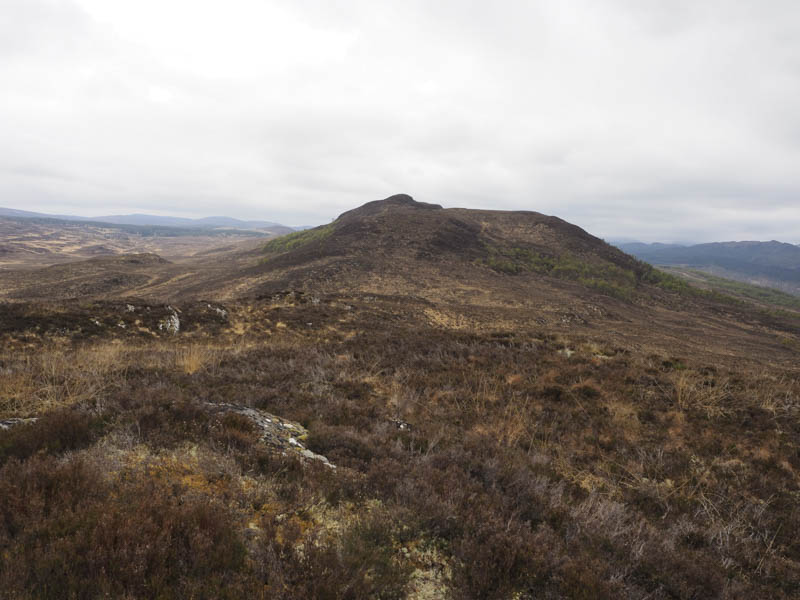
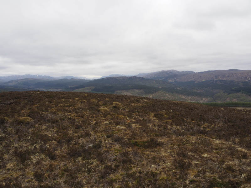
Prior to the dam another path headed off to the west but wasn’t always obvious especially when it ran through an area of brash where the trees had been harvested and new ones planted. The path then crossed a forest track and joined a track used by forest vehicles. I was now in the low cloud so I just followed this vehicle track although as height was gained it became less distinct. Once to the east of Meallan na Ceardaich I left the track and climbed through longish heather, avoiding the rocks, to reach the summit of this Tump, the highest point marked by an outcrop.
The drizzle was now heavier and with no views due to the low cloud I descended west avoiding more rocks to reach the Allt Coire Beith where there was a small gorge. Once across this stream and its steep west bank I followed the edge of the mature trees west then south-west through rough and in places boggy vegetation trying to stay at the same height. At the end of the wood I descended to and crossed a boggy area then it was a steep climb through long heather onto Meall Beag. The highest point of this Tump appeared to be a clump of vegetation although there was a wooden stake beside an outcrop but this appeared to be slightly lower.
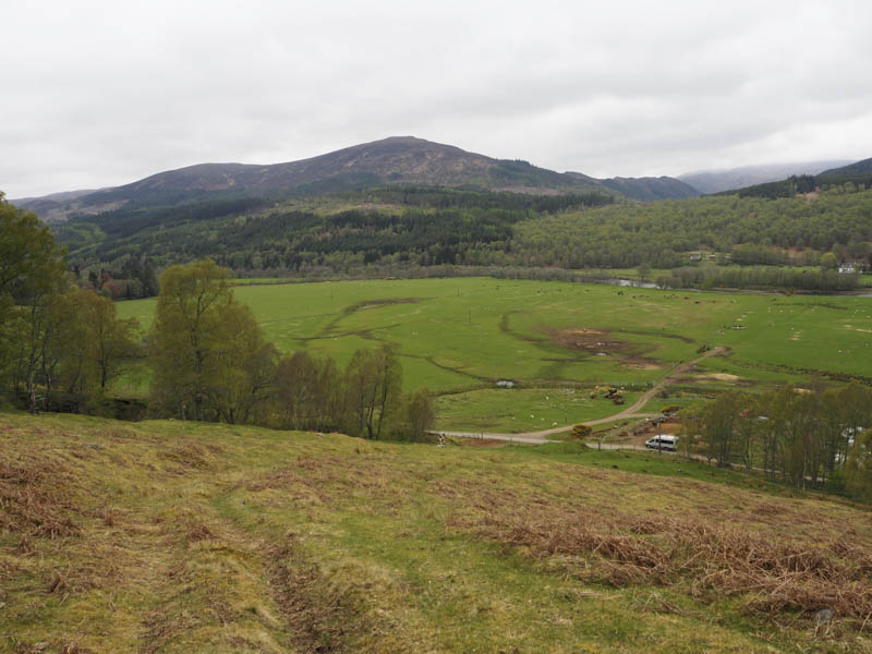
I descended east to an unnamed stream and walked alongside it making reasonable progress despite a few fallen trees. Lower down it became a bit more awkward so I cut through the trees, which were well enough spaced but with quite a lot of dead wood lying around, to reach the road in Glen Affric at NH257271. It was then just under a two kilometre road walk back to my car.
Carn Bingally North-East Top, Carn Bingally and Carn na Doire Leithe – I parked at the side of the minor road south of the village of Cannich and south-west of Kerrow Wood. I went through an open gate and climbed south, fairly steeply, with several vehicle tracks to choose from, to reach an area of rough vegetation including dead bracken.
A barbed wire fence was crossed then more rough ground including heather, bog myrtle and a few trees as well as going under the pylon lines. There was little change in the underfoot conditions before reaching an outcrop marking the summit of the Tump, Carn Bingally North-East Top.
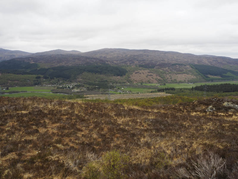
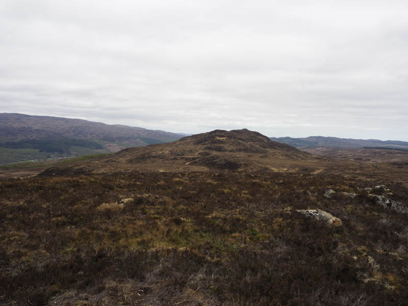
After sheltering from a breeze for lunch I descended south-west through more of the same rough vegetation and climbed to the summit of the Tump, Carn Bingally, the highest point being a boulder two metres north of the cairn.
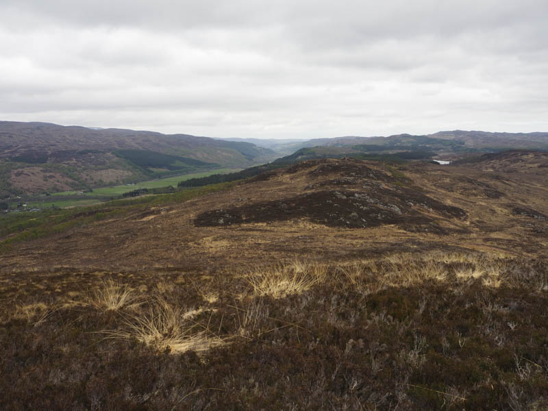
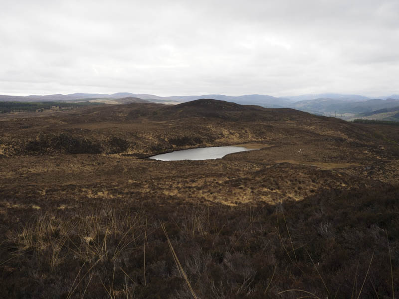
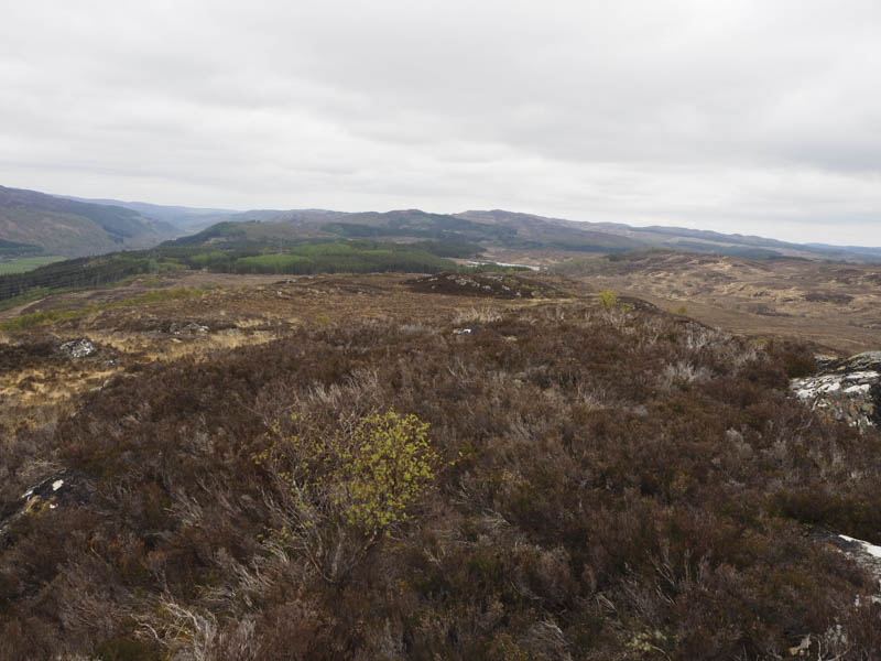
I continued in a south-westerly direction, walking round several knolls then along a deer track that passed to the east of Loch Carn Bingally to the col with Carn na Doire Leithe and to the corner of a stock fence with barbed wire. I opted to check out the South Top of the Tump, Carn na Doire Leithe first thus avoiding crossing the fence and I didn’t know where the highest point was. After visiting the South Top I headed back to a gate that I spotted and once across this tied down gate I climbed the North Top, which appeared higher, an outcrop marking the spot.
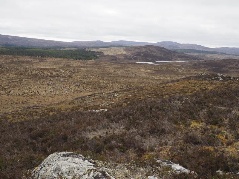
It was an easy enough descent north then north-east following the fence line, the area used by cattle probably last summer, so the vegetation was shorter with dry muddy hoof prints. Another gate was reached and beyond it I was back into the long rough vegetation then lower down crossed the Allt Baile na h-Aibhne and went through some well spaced trees. The edge of a deer fence led to and involved the crossing of a couple of stock fences the latter one taking me into a field containing cattle and horses. On leaving this field via a gate it was then a two kilometre road walk along the minor road on the south side of the River Glass.
- Total time taken – 6.75 hours.
- Total distance – 16.5 kilometres.
- Total height climbed – 895 metres.