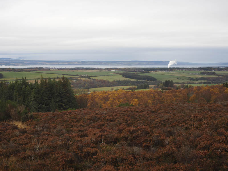
It was initially a wet morning in Inverness so I delayed setting off for the nearby Tump, Meall Mor, located to the south-east of the city. Once it dried up a bit I made the short drive to the minor road north-west of Castletown Farm, accessed from the B861 Daviot to Culloden Moor Road, parking on the grass verge to the north-west of the farm.
I walked along the road to the ‘T’ junction beside the farm, crossed another minor road and went through the railway underpass to a locked stock gate with a small gap to the left which allowed me to squeeze through and onto the vehicle track beyond. At the side of the track there were several old farm implements, a dumping ground for disused machinery.
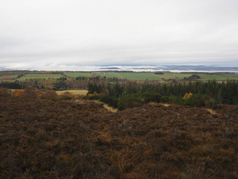
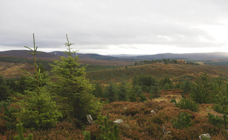
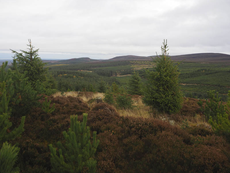
The track wound its way uphill through well spaced trees and became less obvious as I reached what appeared to be a split in the track. I went right, south-west, but if there actually was a track it soon disappeared so I headed through some long and rough vegetation and towards the pylons. Immediately beyond the electricity transmission line there was a new deer fence which I followed north-east to a gate at NH752422. Once through this gate I walked south along a forest track through a harvested area with some new plantings.
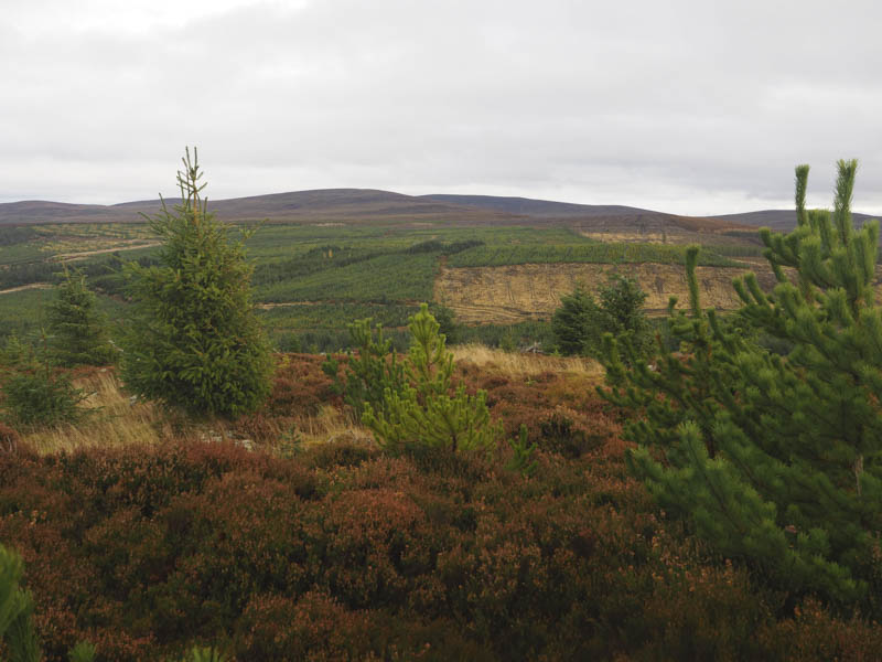
This took me to another gate in the deer fence and to a junction of several tracks. I went right, north-west, then after a couple hundred metres, left, (south) and followed forest tracks through mainly mature firs to a quarry. At the north side of the quarry there was an old track, overgrown with some young firs, which led to the summit of Meall Mor. Here I visited a few points, one contained a small cairn, but I couldn’t tell which was the highest.
The return was by the approach route except between the gate beside the pylons and the track lower down when I attempted a more direct descent. The vehicle track to the north of the gate soon disappeared amongst gorse bushes so I descended through awkward long vegetation, with a few undulations, eventually reaching what appeared to be enclosed water tanks. Here a grassy track led to the point where I thought there was a split in the track.
Not that I intend returning but the ascent route to the pylons was easier than the return route.
- Time taken – 2 hours.
- Distance – 7.5 kilometres.
- Height climbed – 230 metres.