I drove south-east along the minor single track road, accessed from the B9008 south-east of Bridge of Avon, passed the property at Aldich, to an area of ground on the south side of the road near a sign advising that further progress wasn’t suitable for motor vehicles. On leaving my car I continued along this road, part of the Speyside Way, which soon deteriorated into an estate track.
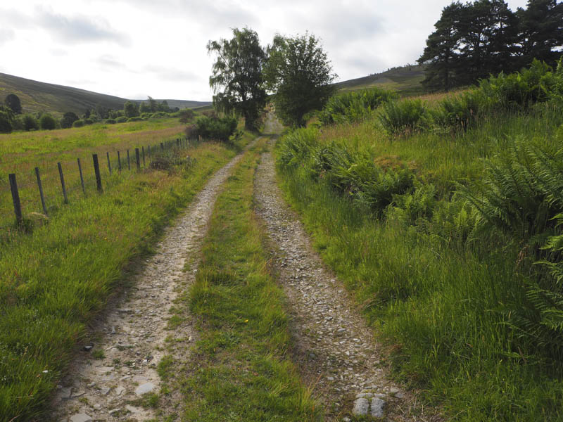
At a junction of tracks I went left, leaving the Speyside Way, and followed a vehicle track to another junction. (NJ214334) Again I went left and walked north-east on a lesser used vehicle track which later came to an end. (NJ217340)
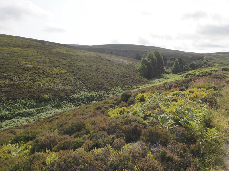
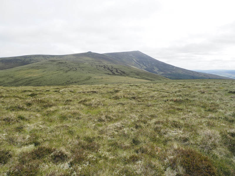
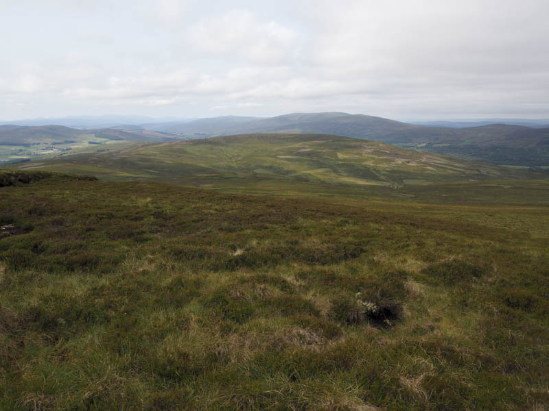
The direct route to Hill of Knocknashalg was to walk east but the length of the vegetation wasn’t appealing. I therefore headed north-east looking for an easier route but it was still rough going through long heather, hollows, drainage channels and tussocky ground. This took me onto the north-west ridge of Hill of Knocknashalg a short distance from the flat tussoky summit area. On reaching the top I visited a few tussocks around what was supposed to be the highpoint of this Tump before taking a short break looking across to Ben Rinnes.
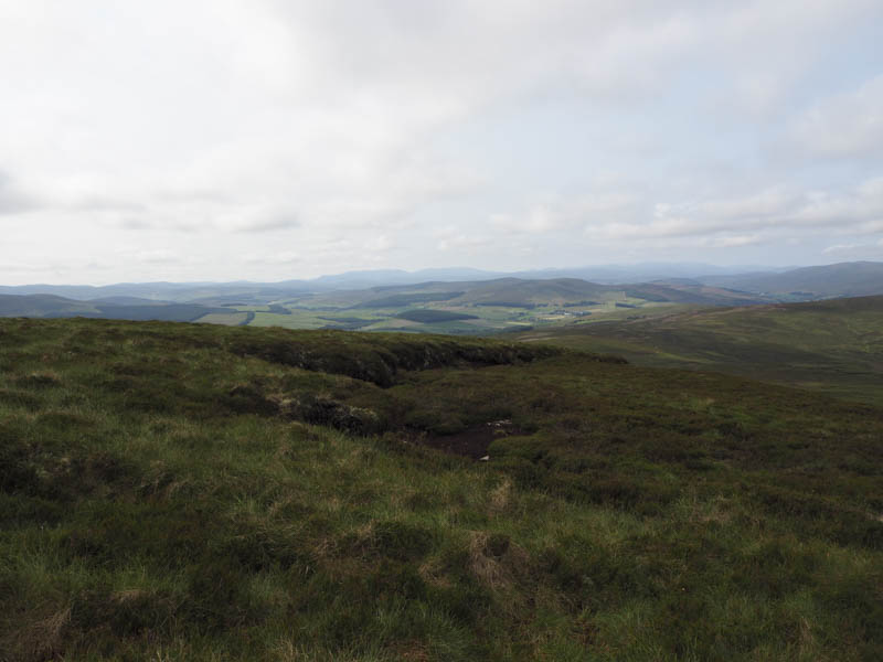
On the descent I took a more direct line to the end of the vehicle track but it was pretty awful underfoot. I spotted a chap who appeared to be heading onto the south ridge. On reaching the vehicle track I returned to the start by the approach route.
- Time taken – 2.25 hours.
- Distance – 7.5 kilometres.
- Height climbed – 325 metres.