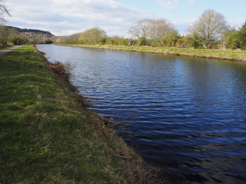
I left my vehicle in the car park at the Sports Centre beside Bught Park in Inverness. The Centre was closed due to the Corona Virus restrictions so there were loads of spaces in the car park. I crossed the new Link Road, the A82, and the Tomnahurich Swing Bridge over the Caledonian Canal then walked down its west side this being part of the Great Glen Way.
This long distance walking route soon left the Canal side and was followed through housing estates and towards Craig Dunain Hospital gaining height. There were a couple of diversions due to construction work.
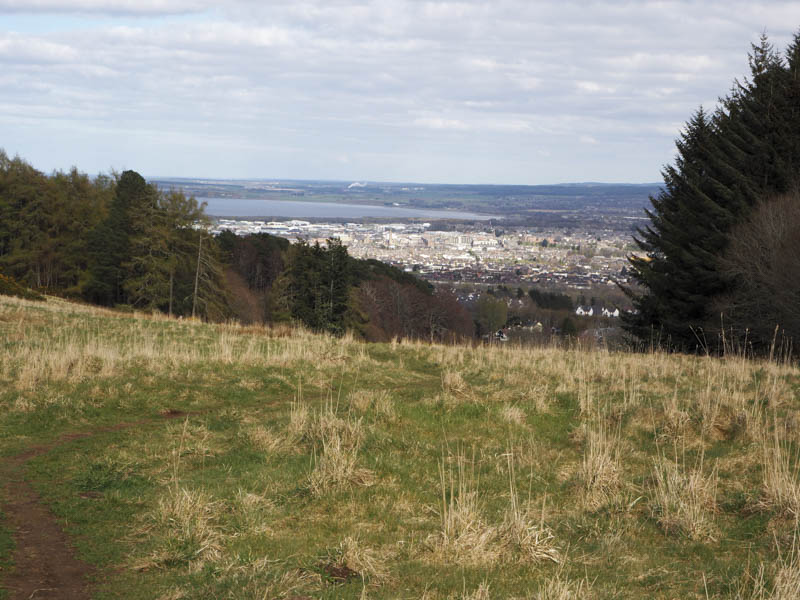
Once above the houses a wide grassy path, bordered by some trees, continued uphill. On reaching the wood I left the Great Glen Way, crossed some rough vegetation, and went over a barbed wire fence and round some fallen trees. This took me to the vehicle track that led to the communication towers near the summit of Dunain Hill. The actual highest point of this Tump was ground amongst the trees around 100 metres to the south-west.
I returned to the towers and visited the nearby trig point but there were no views due to the height of the trees. I descended west along a path then a vehicle track going north-east to re-join the upward route which was followed back to the car park.
- Time taken – 2 hours.
- Distance – 9 kilometres.
- Height climbed – 295 metres.