The previous week I had been up the Sub 2K Maralyn, Creag Mhor, and several of its outliers, and on a separate day, walked up Gleann Udalain with a fellow hill walker who was exercising his dogs. On that occasion I climbed the Tump, Carn na Creige, and had a recce of the route onto Creag Mhor Far North Top.
Gleann Udalain is located on the east side of the A890 Auchtertyre to Stromeferry Road. On the previous visit I parked on the west side of the road just north of the access track to the glen and on that occasion noted it appeared acceptable to park just beyond the stock gate at the start of the glen as long as the gate was kept closed.

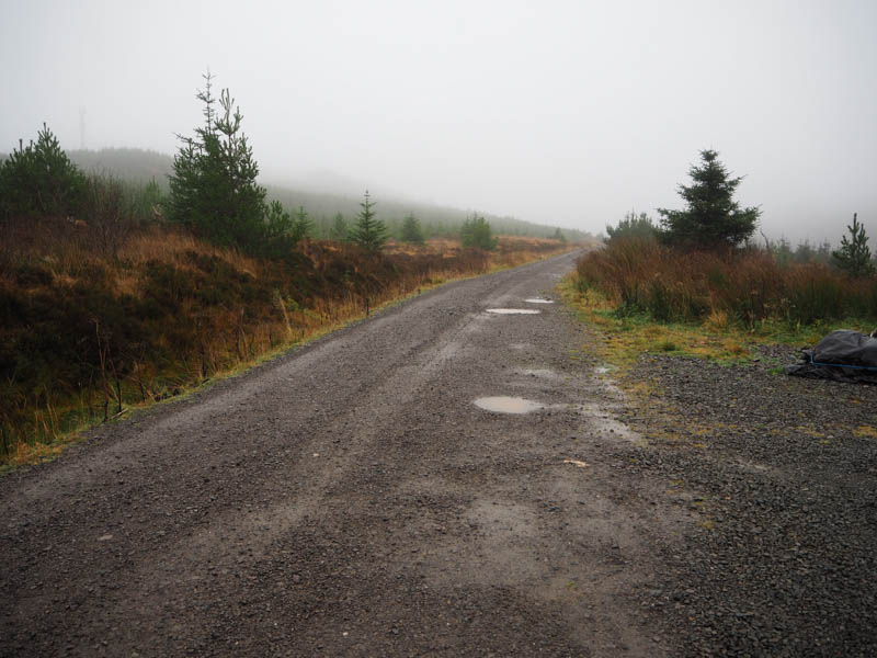
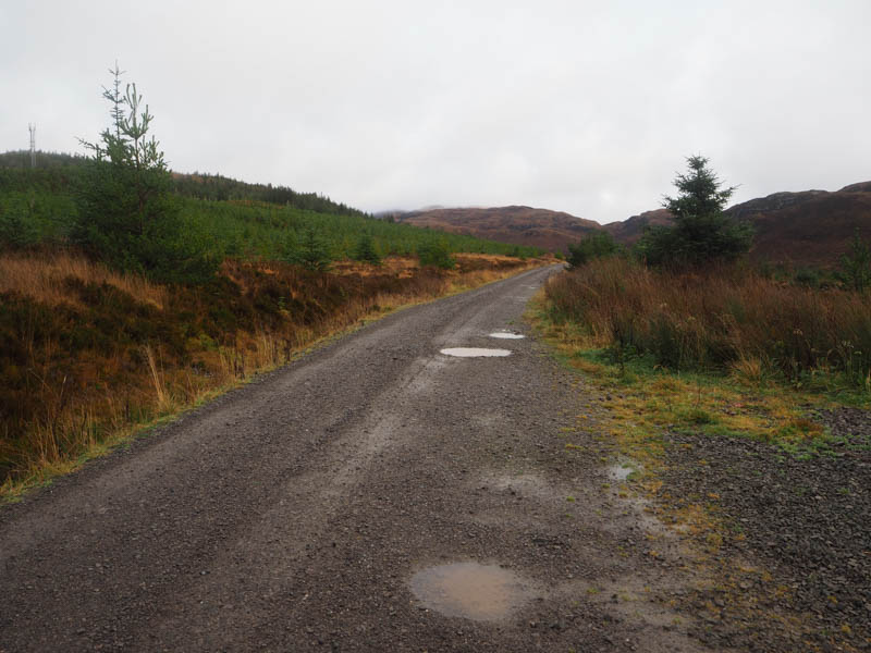
I walked east along the vehicle track initially with a slight loss of height then north-east, the track being in a good state of repair and easily cyclable. It was drizzling with low cloud and limited visibility.
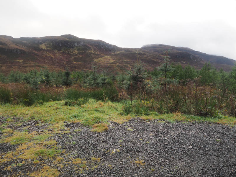
After around four kilometres, I reached the point where I had planned to leave the track, (NG89853247) crossed the Allt Gleann Udalain, and went up a short steep embankment. Then it was through long rough vegetation interspersed with a few trees and hollows. Higher up the walking wasn’t great but probably a tad easier as I headed onto the Tump, Creag Mhor Far North Top. There were several possible highpoints but the one to the south-west I thought was highest.
The return was by the upward route and as I neared the end of this walk the low cloud began to lift.


- Time taken – 3 hours 15 minutes.
- Distance – 10 kilometres.
- Height climbed – 265 metres.